California
1 - 5 days
3 day
itinerary in
Joshua Tree
Arch Rock (Arch Rock Trailhead)
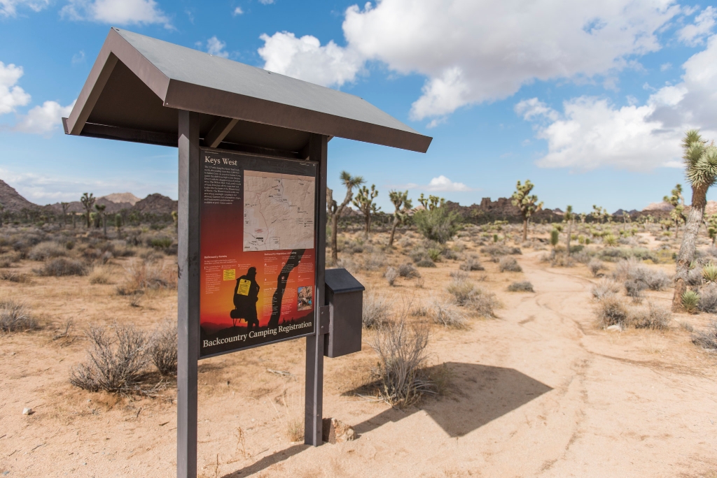
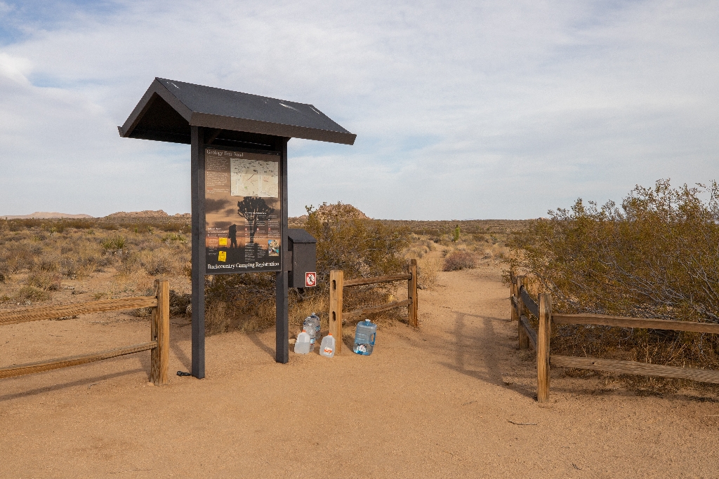
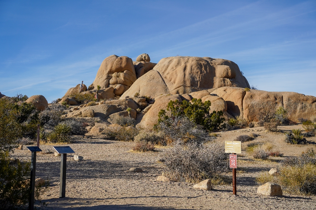
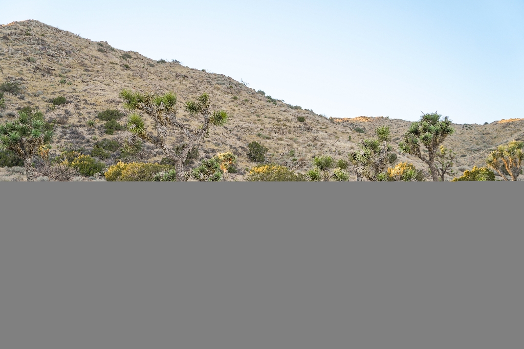
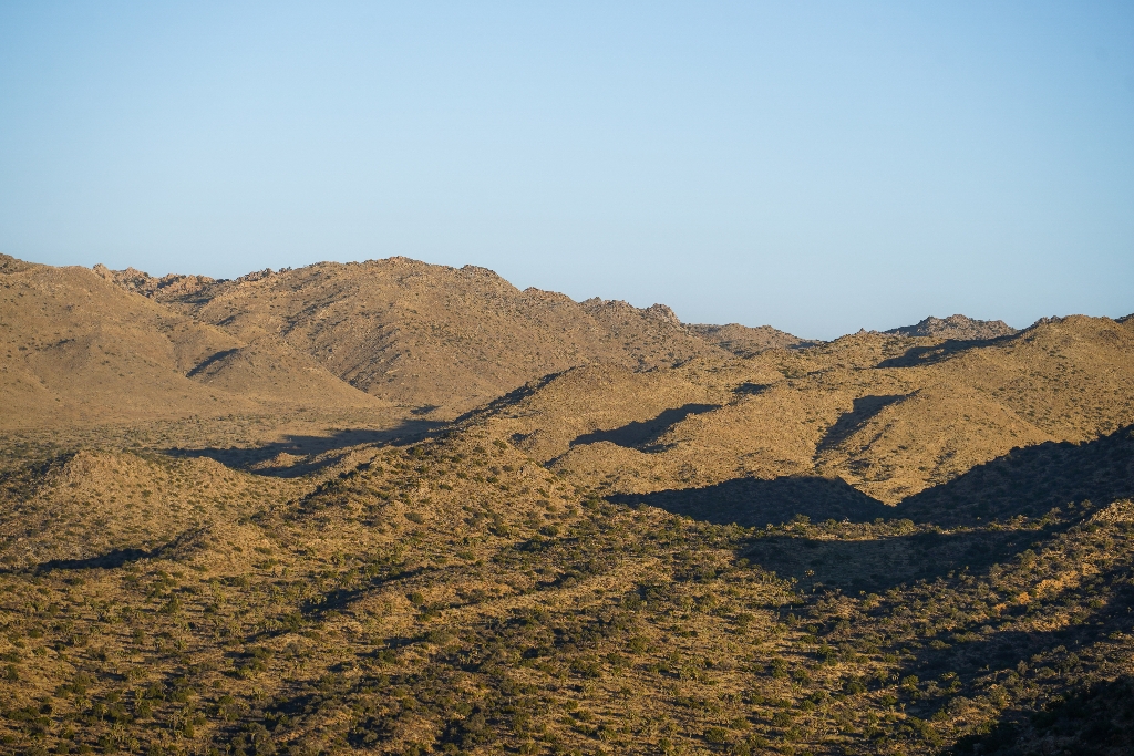
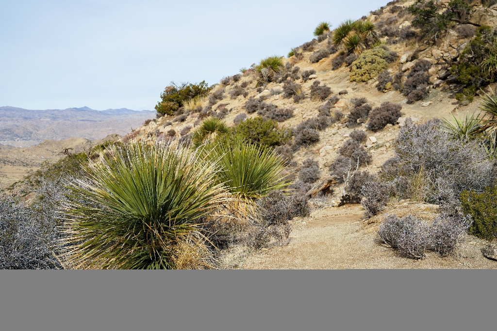
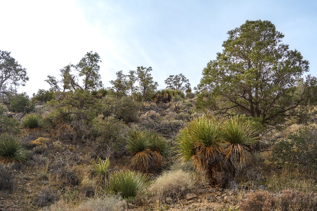
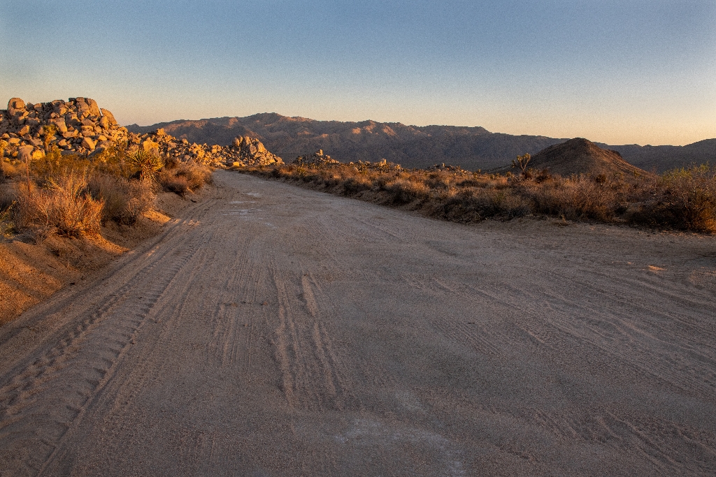
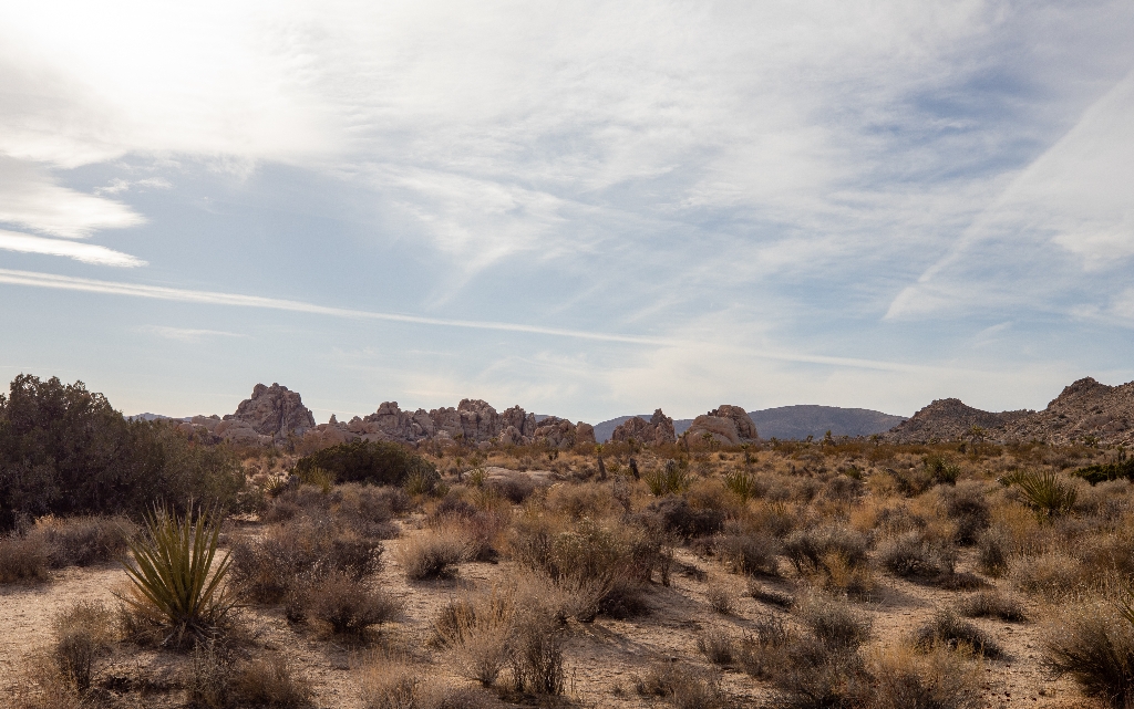
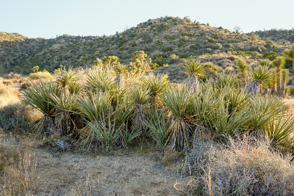
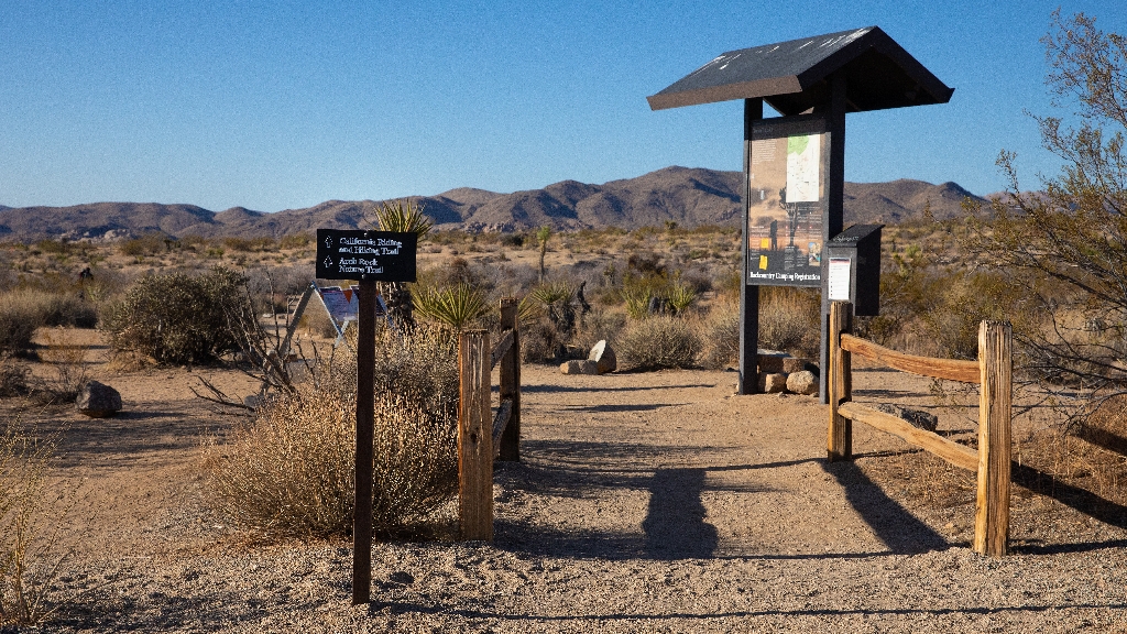
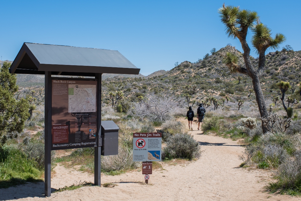
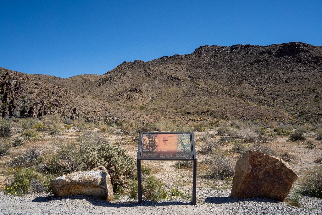
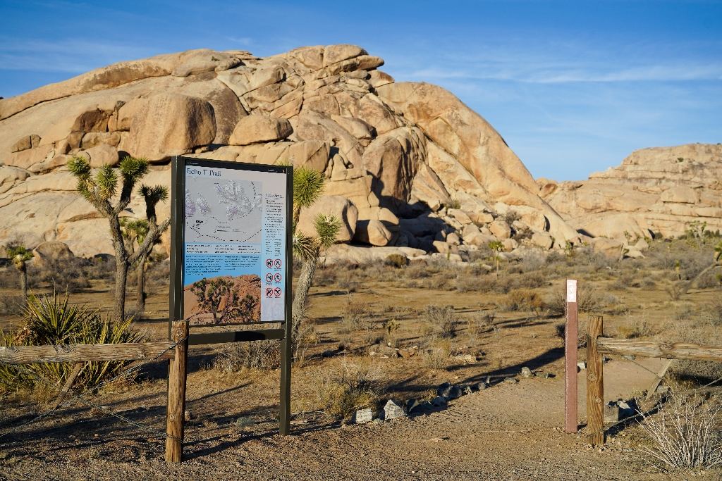
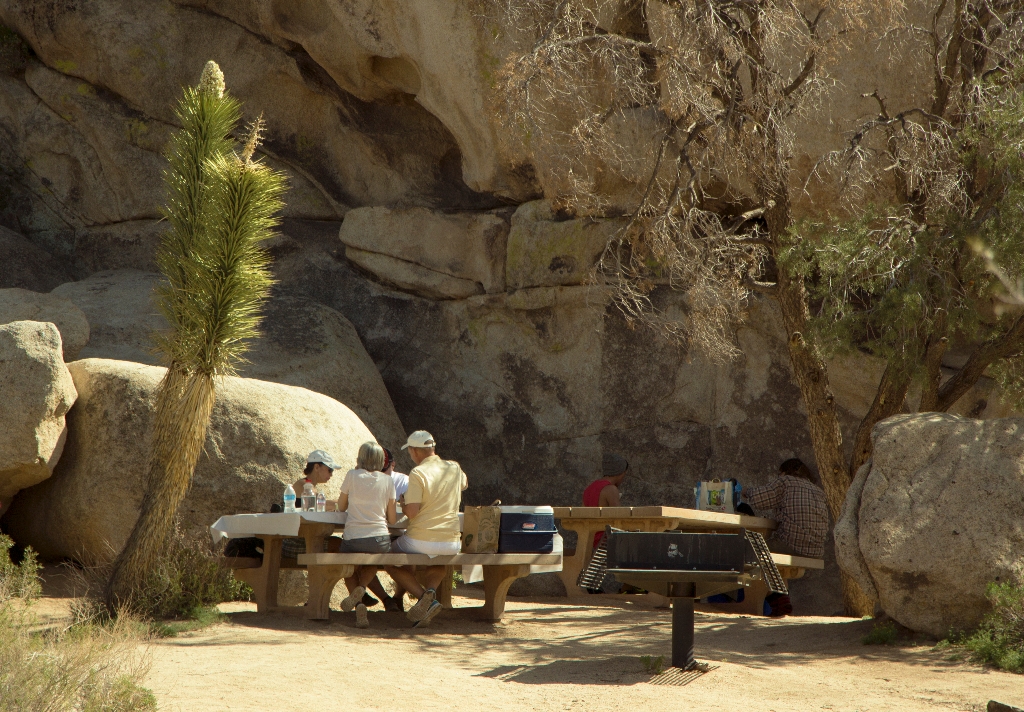
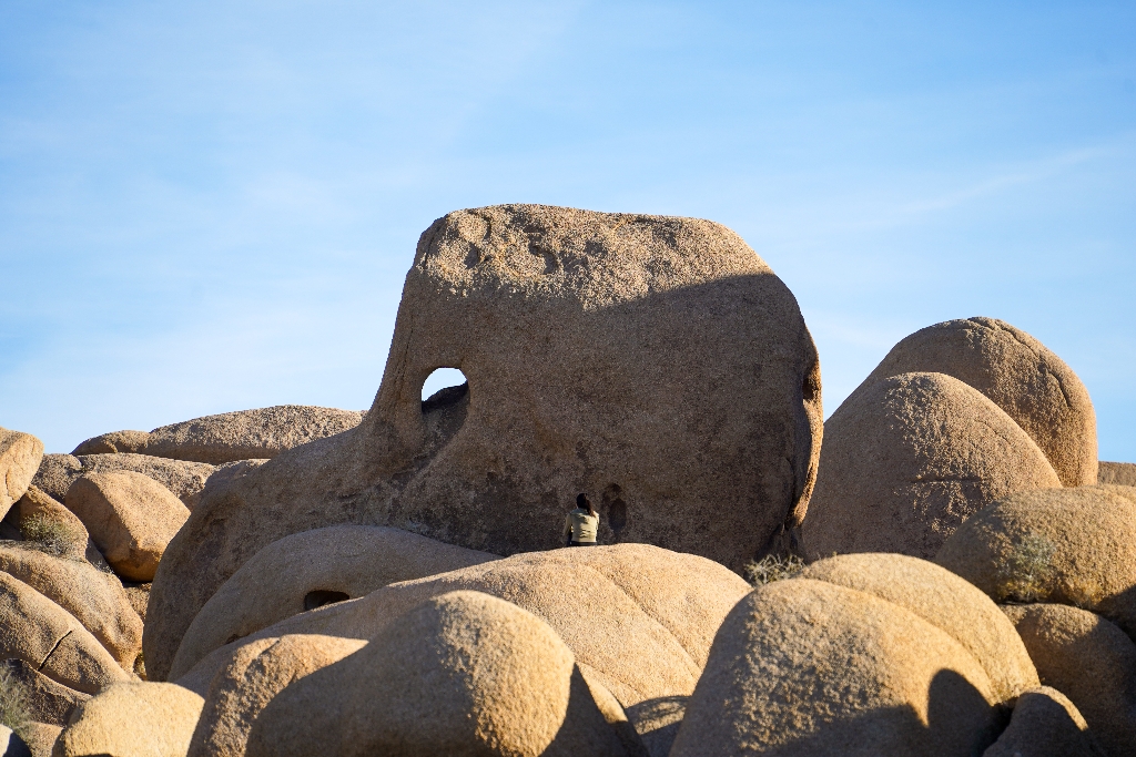
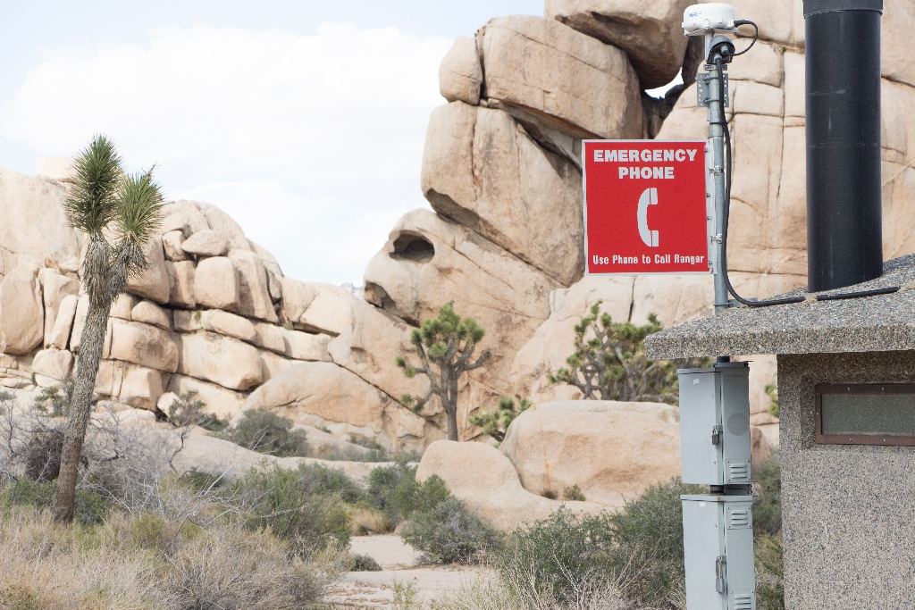
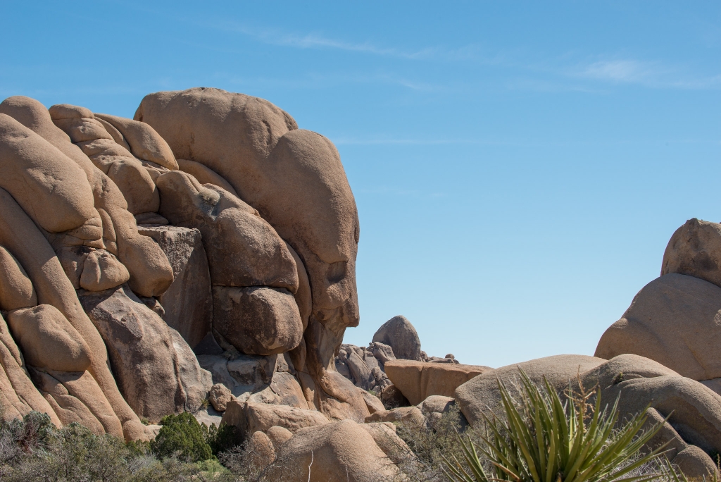
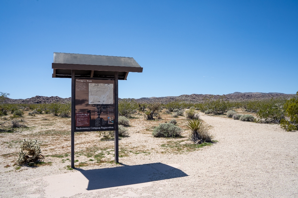
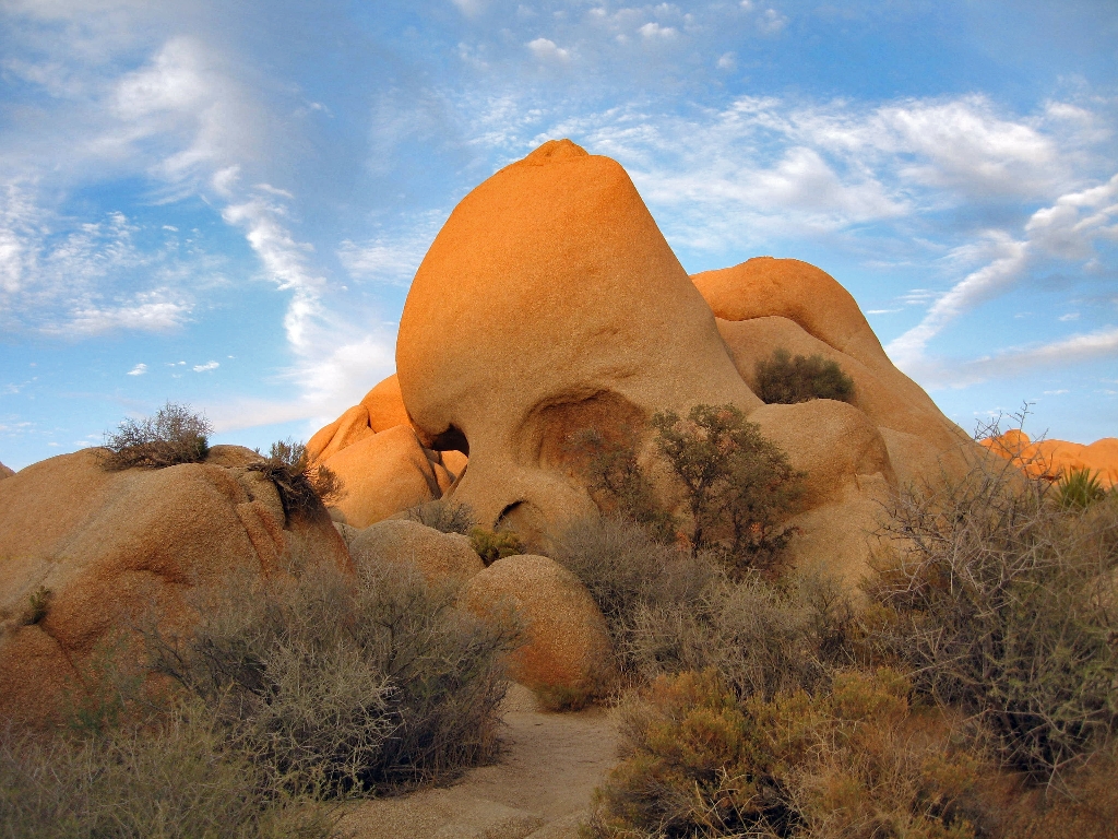
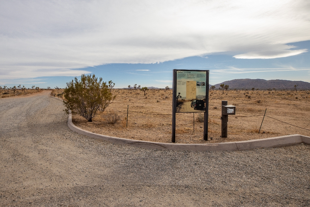
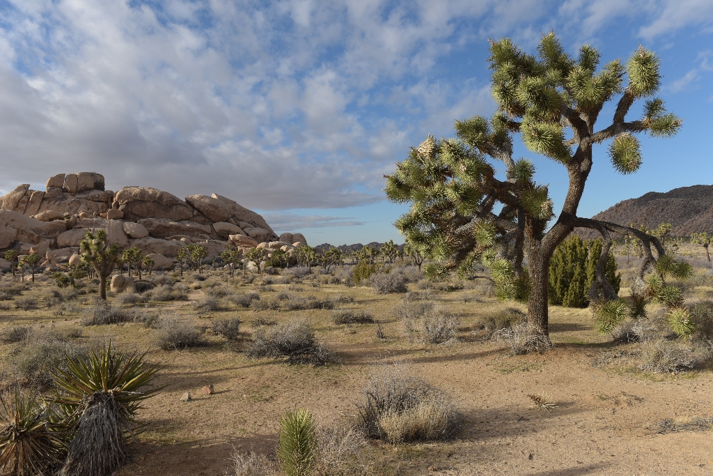
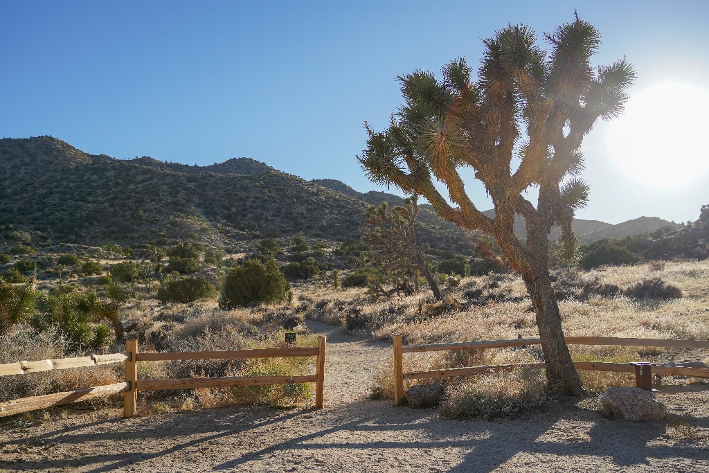
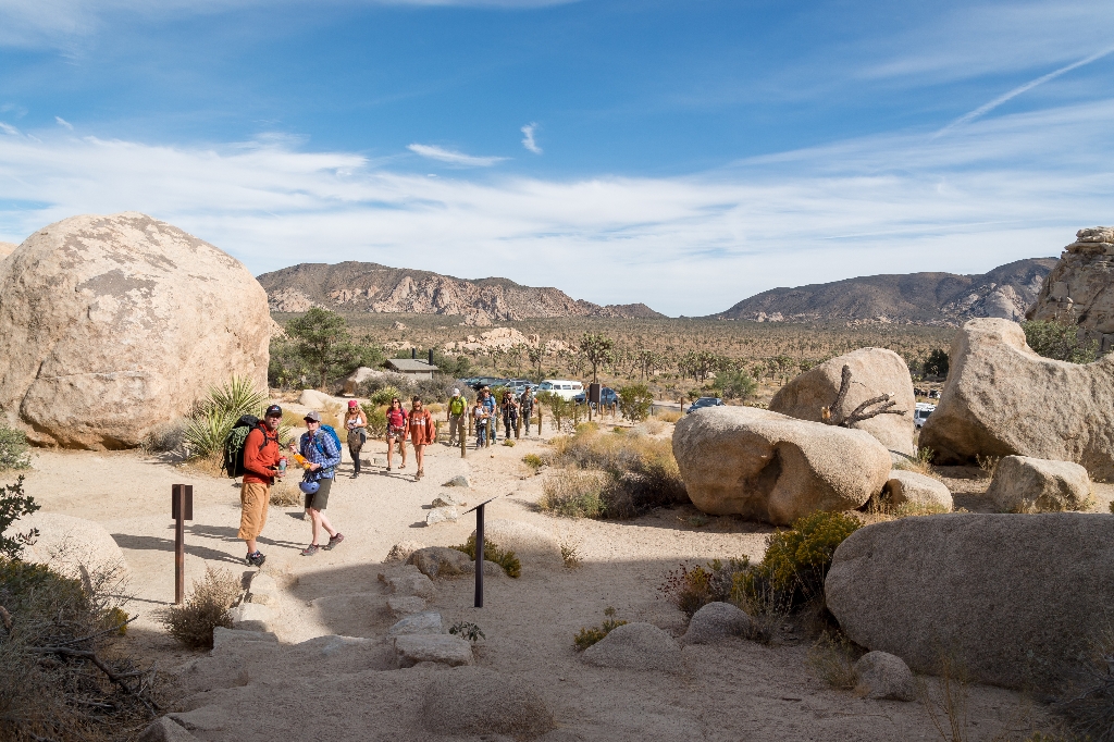
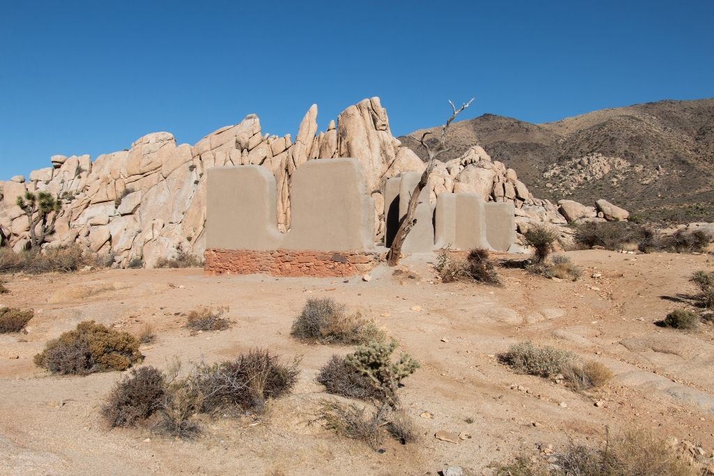
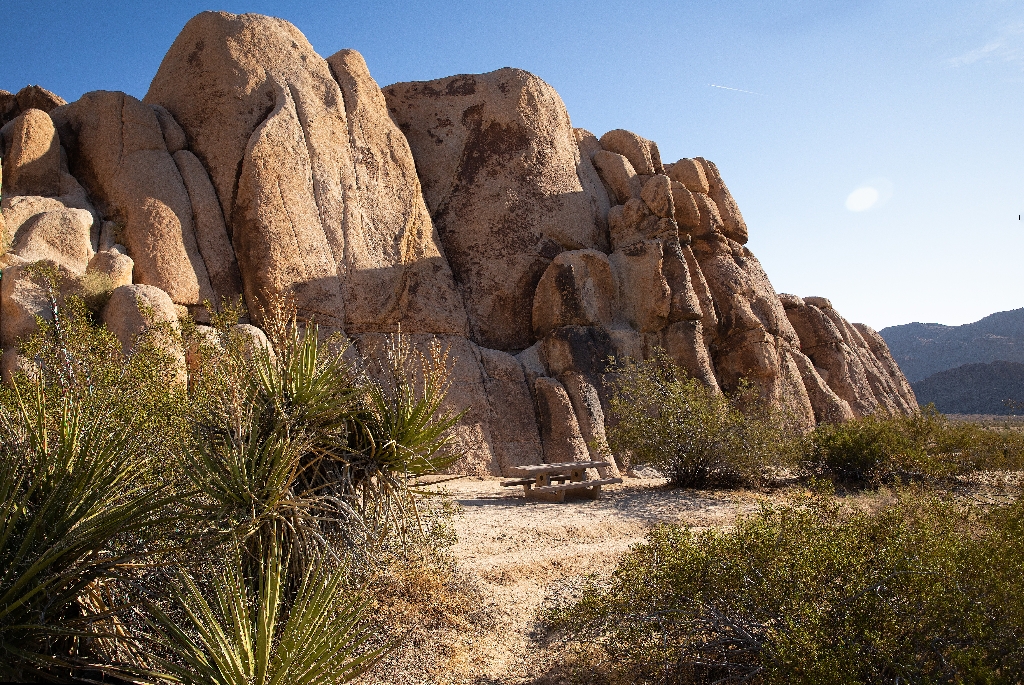
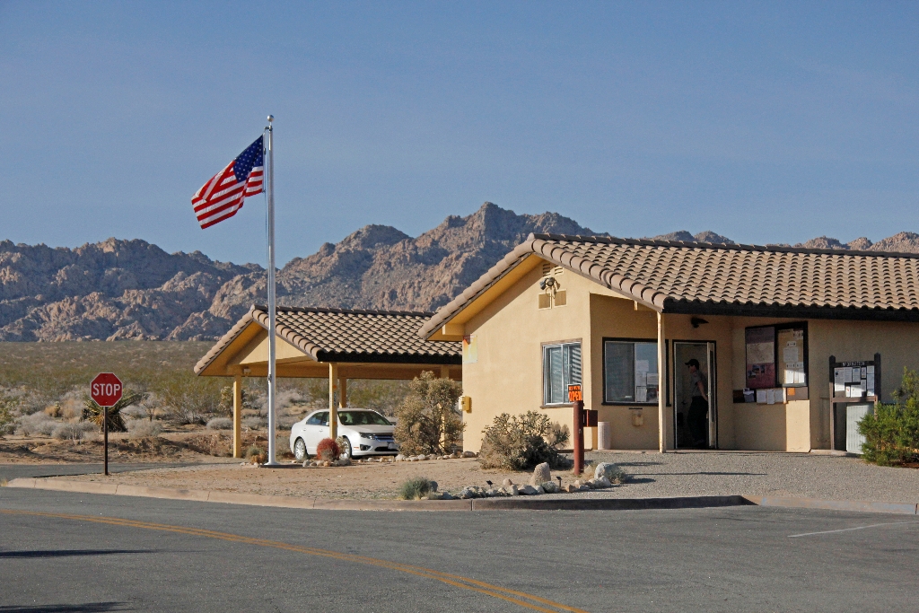
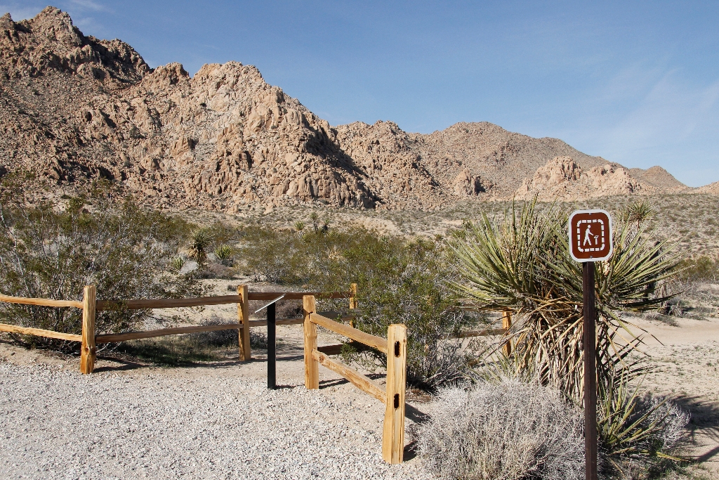
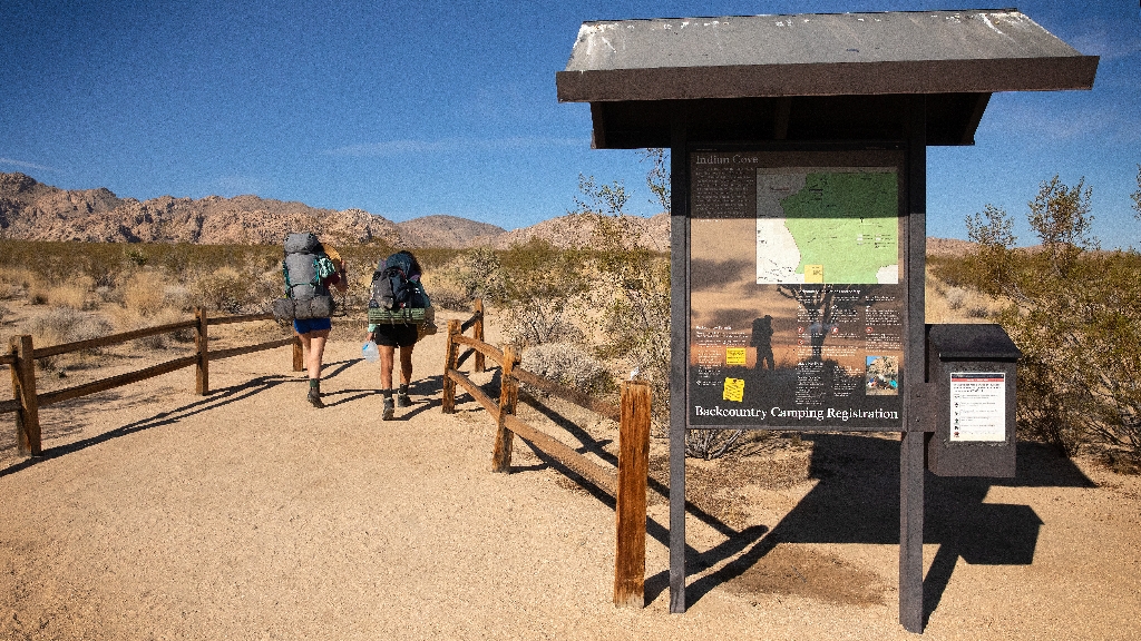
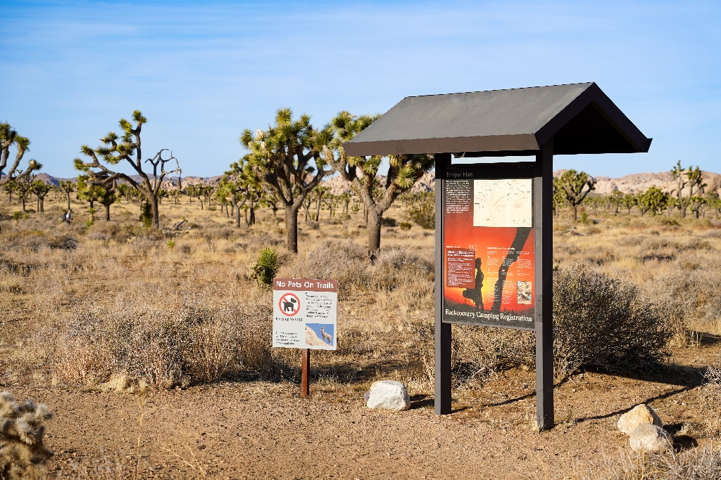
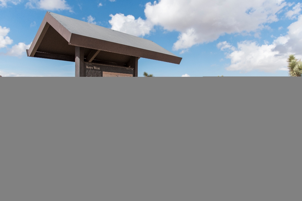
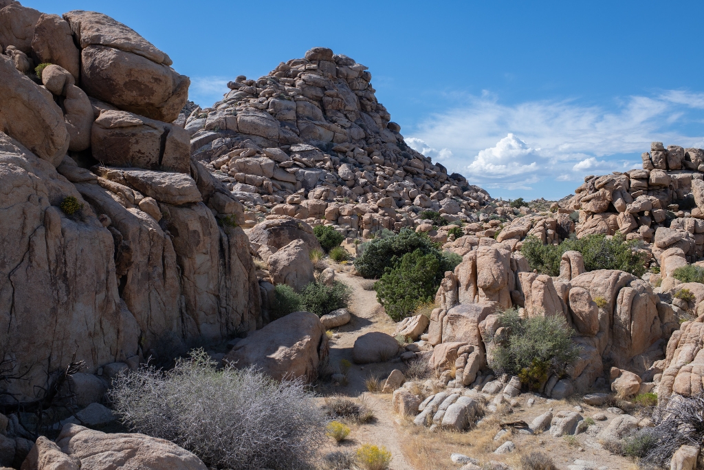
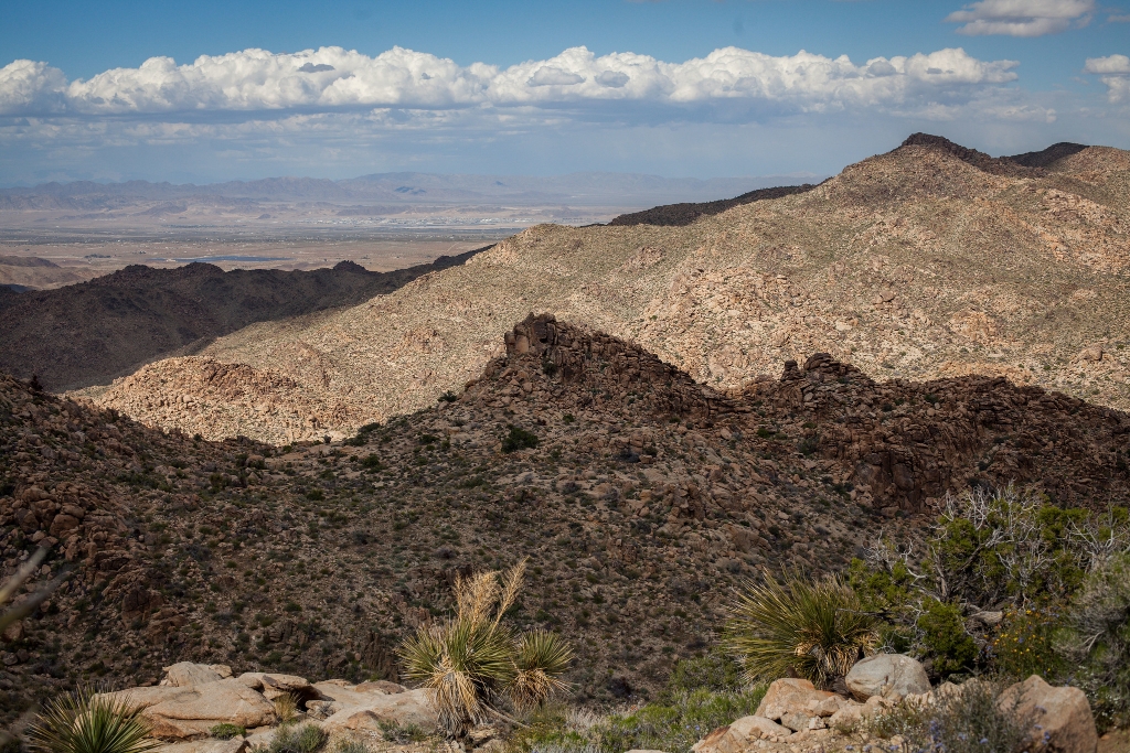
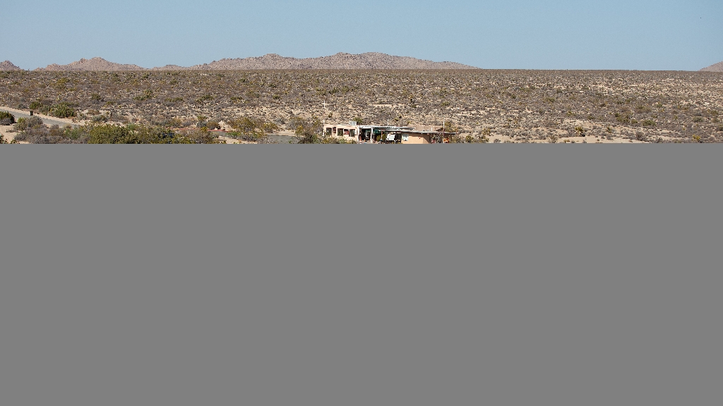
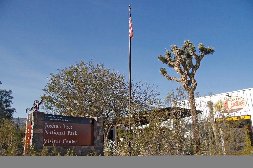
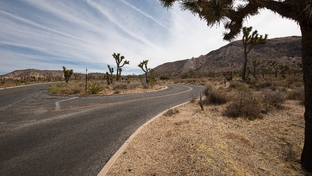
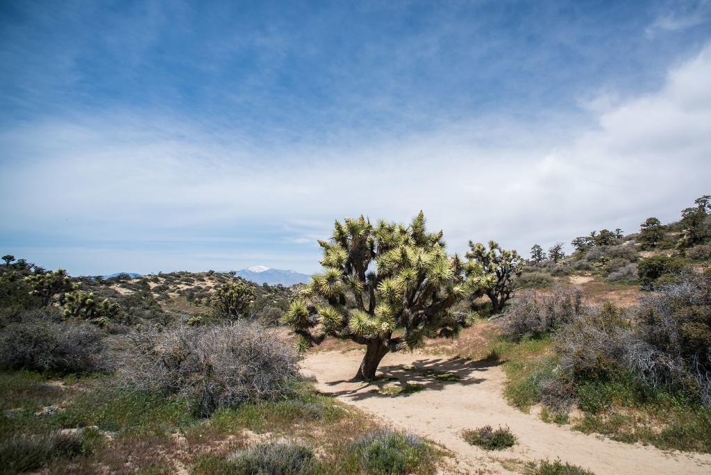
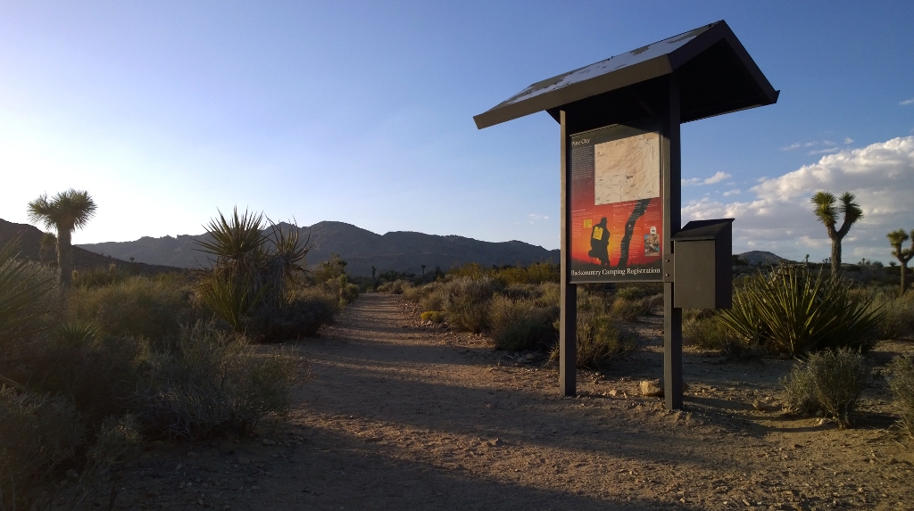
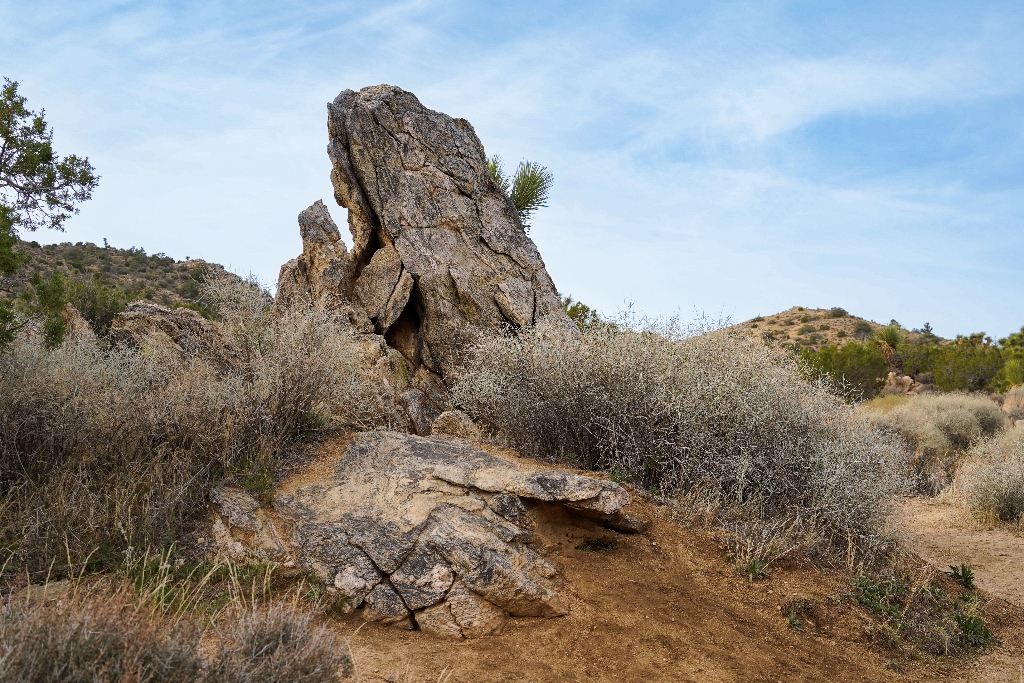
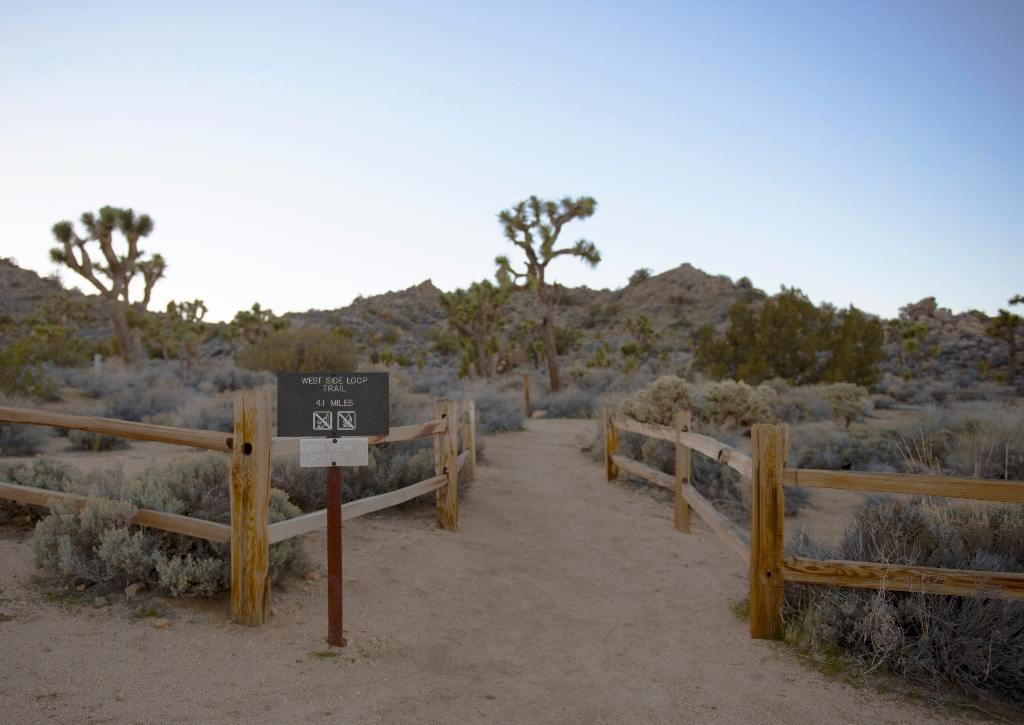
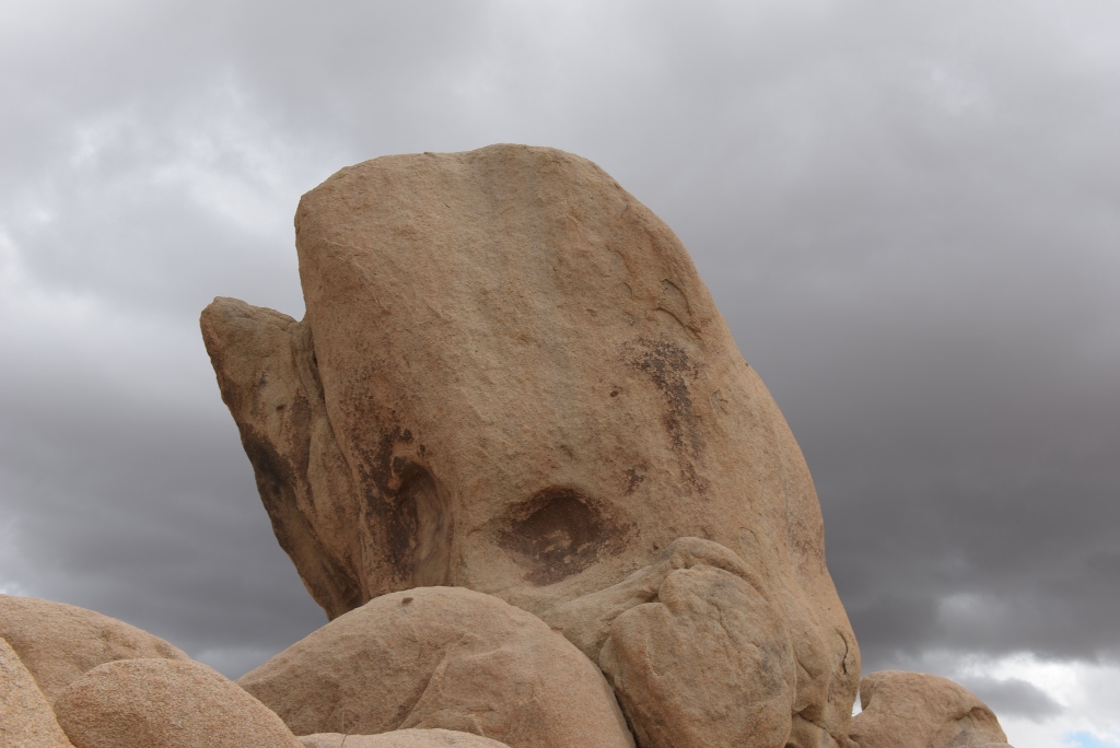
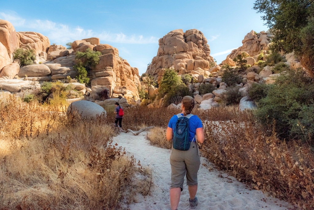
Arch Rock Nature Trailhead to Twin Tanks Wilderness Backpacking Board.
Arch Rock Nature Trailhead and the Twin Tanks Wilderness Backpacking Board.
Arch Rock and Twin Tanks Trailhead
Twin Tanks Wilderness Backpacking Board near Arch Rock Nature Trailhead.
Arch Rock Nature Trailhead and the Twin Tanks Wilderness Backpacking Board.
Bajada Trailhead
Hike Bajada Trail.
Hike the Bajada Trail
Barker Dam Trailhead
Quick access to Barker Dam on 1.1 mile hike.
The Barker Damn Nature Trail Trailhead provides quick access to Barker Dam on a 1.1 mile hike.
Bighorn Sheep (Barker Dam Trailhead)
Discover Bighorn Sheep. Audio stop.
Learn about Bighorn Sheep at this stop on the audio tour.
Black Rock Backcountry Trailhead
Trailhead for hiking trails in Black Rock area, Joshua Tree NP.
The trailhead for many hiking trails in the Black Rock area of Joshua Tree National Park.
Burnt Hill Trailhead
Start of Burnt Hill Loop Trail, walking time unspecified.
Trailhead for Burnt Hill Loop Trail
Cap Rock
Popular formation in central location.
Cap Rock is a popular centrally located rock formation.
Cholla Cactus (Cholla Cactus Garden)
Scenic mountains, cholla; walking time.
Enjoy scenic views of mountains and a large number of cholla growing along Pinto Basin Road.
Cholla Cactus Garden
Scenic views of mountains and cholla along Pinto Basin Road.
Enjoy scenic views of mountains and a large number of cholla growing along Pinto Basin Road.
Contact Mine Trailhead
Contact Mine Trail trailhead.
Trailhead for Contact Mine Trail
Continuing Your Journey (Joshua Tree National Park Visitor Center)
Visitor center in California, Twentynine Palms.
Joshua Tree National Park Visitor Center in Twentynine Palms, California
Cottonwood Picnic Area
Cottonwood campground has a picnic area.
Picnic area in cottonwood campground.
Cottonwood Spring
Desert oasis with hiking trails; walking time not provided.
A lush desert oasis that also provides access to the Mastodon Peak Loop and Lost Palms Oasis Trail.
Cow Rock
Cow-shaped rock formation resembles a walking cow.
A cow shaped rock formation
Cyclops Rock
Large granite rock for climbing.
Cyclops Rock, a large granite rock formation popular with climbers.
Desert Tortoise (Contact Mine)
Start of Contact Mine Trail, Desert Tortoise audio tour stop.
Trailhead for Contact Mine Trail and Desert Tortoise stop for the audio tour.
Desert Tortoise (Silver Bell)
Silver Bell Mine Pullout on Pinto Basin Road.
Silver Bell Mine Pullout is located on Pinto Basin Road.
Desert Tortoise (Wilson Canyon)
Wilson Canyon Pullout on Pinto Basin Road.
The Wilson Canyon Pullout along Pinto Basin Road.
Deserts (Quail Springs)
Picnic area along Park Boulevard when entering from west entrance.
Quail Springs Picnic Area is a picnic area along Park Boulevard when entering from the west entrance.
Deserts (Silver Bell)
Silver Bell Mine Pullout on Pinto Basin Road.
Silver Bell Mine Pullout is along Pinto Basin Road.
Deserts (Turkey Flats)
Visit Turkey Flats in Pinto Basin for hiking.
Turkey Flats in Pinto Basin
Echo T Trailhead
Hike Echo T Trail to Barker Dam.
Hike the Echo T Trail and connect to the Barker Dam from this trailhead.
Ecology (Hidden Valley)
Large picnic area with tables and grills among rock formations.
Hidden Valley Picnic Area is a large picnic area with picnic tables and grills among rock formations and Joshua Trees.
Elephant Rock near Skull Rock
Elephant Rock looks like an elephant, visible from Park Boulevard.
Elephant Rock, a granite rock formation shaped like an elephant. This rock formation can be seen from Park Boulevard in front of the Skull Rock and Discovery Trail Trailhead.
Emergency Phone
Emergency phone available for first aid and medical assistance.
An emergency phone is available for requesting first aid and medical assistance.
Face Rock
Face Rock off Split Rock Trail spur.
Face Rock, located off spur trail along the Split Rock Trail
Flash Floods (Porcupine Wash)
Porcupine Wash off Pinto Basin Road.
Porcupine Wash is located on Pinto Basin Road.
Fortynine Palms Oasis
Desert oasis in northern Joshua Tree NP, unknown walking time.
A desert oasis in the northern portions of Joshua Tree National Park.
Fortynine Palms Oasis Trailhead
Trailhead for oasis, walking time not specified.
Trailhead for Fortynine Palms Oasis.
Gateway Communities (North Entrance)
North Entrance Fee Station near Twentynine Palms town, walking distance.
The North Entrance Fee Station is near the town of Twentynine Palms.
Geology (Skull Rock)
Audio tour: Geology at Skull Rock.
Learn about Geology at Skull Rock during the audio tour.
Geology Tour Road Intersection
18-mile motor tour through Joshua Tree National Park's geological landscape.
Geology Tour Road is an 18-mile motor tour leads through one of Joshua Tree National Park's most fascinating geological landscapes.
Hall of Horrors
Rock formations for walks, scrambling, and climbing with scenic views.
Popular rock formations with views for walks, scrambling, and rock climbing.
Heart Rock
Rock formation shaped like a heart.
Heart shaped rock formation
Hemingway
Rock formation along Park Boulevard.
A popular rock formation along Park Boulevard.
Hi-View Trailhead
Trailhead for Hi-View and West Side Loop Trails. Meandering paths.
Trailhead for the Hi-View and West Side Loop Trails which meander through mountains and Joshua tree forests.
Hidden Valley Picnic Area
Large picnic area among rock formations with tables and grills.
Hidden Valley Picnic Area is a large picnic area with picnic tables and grills among rock formations and Joshua Trees.
Hidden Valley Trailhead
Trailhead to Hidden Valley Nature Trail. Explore picturesque Hidden Valley.
The Hidden Valley Nature Trail Trailhead provides access to explore Hidden Valley.
Homesteading (Ryan Ranch)
Trailhead to Ryan Ranch, Homesteading stop on audio tour.
Trailhead for hiking to Ryan Ranch and the Homesteading stop on the audio tour.
Indian Cove Picnic Area
Indian Cove picnic area with walking time listed.
Picnic area in Indian Cove
Indian Cove Ranger Station
Information provided at Indian Cove Ranger Station for area visitors.
The Indian Cove Ranger Station provides information for the Indian Cove area.
Indian Cove Trailhead
Trailhead for easy .6 mile hike with interpretive signs.
Trailhead for an easy .6 mile hike with interpretive signs along the way.
Indian Cove Wilderness Backpacking Board
Backcountry board, trailhead for Boy Scout Trail, walking time unspecified.
Backcountry board and trailhead for the north end of the Boy Scout Trail.
Intersection Rock
Large rock formation with 40 climbing routes.
A large rock formation with over 40 climbing routes.
Joshua Tree Sign
South entrance sign in Joshua Tree National Park.
The Joshua Tree National Park entrance sign at the south end of the park.
Joshua Trees (Geology Tour Road)
18-mile motor tour through fascinating geological landscapes.
Geology Tour Road is an 18-mile motor tour leads through one of Joshua Tree National Park's most fascinating geological landscapes.
Joshua Trees (Hemingway)
Study Joshua trees at Hemingway.
Learn about Joshua trees at Hemingway.
Juniper Flats Backcountry Trailhead
Access Juniper Flats Trailhead to CRHT and additional trails.
The Juniper Flats Backcountry Trailhead provides access to the CRHT and other trails.
Keys Ranch
Keys Ranch historic site, tickets must reserve, guided ranger tours.
Keys Ranch was an early ranch created in the area. This location is is only open through guided ranger tours with tickets reserved in advance.
Keys View
Popular viewpoint with wide vistas of mountains and valley.
Keys View is a popular viewpoint providing wide vistas of the Little San Bernardino Mountains and Coachella Valley.
Keys West Wilderness Backpacking Board
Backcountry board, trailhead for south end Boy Scout Trail.
Backcountry board and trailhead for the south end of the Boy Scout Trail.
Leaving the Park (play as you drive out)
Picnic area with tables, grills, toilets, and trail nearby.
Quail Springs Picnic area provides picnic tables, grills, pit toilets, and trail access.
Live Oak Picnic Area
Picnic area along park boulevard, with walking time unspecified.
A picnic area along the eastern half of park boulevard.
Lost Horse Loop Trailhead
Trailhead access to Lost Horse Mine Loop Trail, includes walking time.
The Lost Horse Loop Trailhead provides access to the Lost Horse Mine Loop Trail and the Lost Horse Mine.
Lost Horse Mine
Lost Horse Mine successful in late 1800's to early 1900's.
Lost Horse Mine was one of the few successful mines from the late 1800's to early 1900's in the area that is now Joshua Tree National Park.
Lost Horse Mine Trailhead
Trailhead to loop trail and mine.
The Lost Horse Mine Trailhead provides access to the Lost Horse Mine Loop Trail and the Lost Horse Mine.
Lost Palms Oasis
Desert oasis in southeastern Joshua Tree National Park.
A desert oasis in the southeastern portion of Joshua Tree National Park.
Lost Palms Oasis Trailhead
Hike to oasis.
Hike to the Lost Palms Oasis
Malapai Hill Viewpoint Parking Area
Access views of hill from parking area.
The parking area to access views of Malapai Hill.
Mastodon Peak Trailhead
Mastodon Peak trailhead in Cottonwood area, Joshua Tree National Park.
Trailhead for Mastodon Peak trail in the Cottonwood area of Joshua Tree National Park.
Maze Loop Trailhead
Trailhead for Maze Loop Trail, walking time not provided.
Trailhead for the Maze Loop Trail
Minerva Hoyt (Minerva Hoyt Trail)
Learn about conservationist Minerva Hoyt at stop on tour.
Learn about Minerva Hoyt at this stop on the audio tour.
Minerva Hoyt Trailhead
Minerva Hoyt Trail trailhead - location unspecified.
Trailhead for the Minerva Hoyt Trail
Mining History (Juniper Flats)
Hike Juniper Flats Backcountry, walking time not specified.
Hike the Juniper Flats Backcountry Region
Musical Connection (Cap Rock)
Musical connections at Cap Rock stop on Joshua Tree tour.
Learn about the musical connections to Joshua Tree National Park at the Cap Rock stop on the audio tour.
North Entrance Station
North Entrance Fee near Twentynine Palms.
The North Entrance Fee Station is near the town of Twentynine Palms.
North View Trailhead
Starting point for North View Trail.
Trailhead for the North View Trail
Oasis of Mara
Desert oasis near Visitor Center in Twentynine Palms, short walk.
A desert oasis located a short walk from the Oasis Visitor Center in the town of Twentynine Palms.
Ocotillo (Ocotillo Patch)
Scenic view, maybe walking time.
Scenic view along Pinto Basin Road.
Ocotillo Patch
Scenic view on Pinto Basin Road.
Scenic view along Pinto Basin Road.
Orientation (Cottonwood Visitor Center)
Visitor center on Pinto Basin Road, 7 miles from Interstate 10.
Located on Pinto Basin Road, approximately 7 miles north of Interstate 10 (exit 168), the Cottonwood Visitor Center is a convenient stop for those entering and exiting the park from the south.
Orientation (Joshua Tree National Park Visitor Center)
Visitor Center in Twentynine Palms, California, near Joshua Tree.
Joshua Tree National Park Visitor Center in Twentynine Palms, California
Orientation (JTVC)
Visitor center in California. No walking time provided.
The Joshua Tree Visitor Center is located in Joshua Tree, California
Oyster Bar
Popular rock formation near Ryan Mountain, scenic views, walking time.
A popular rock formation near Ryan Mountain with scenic views.
Palm Oasis (Cottonwood Spring)
Visit lush Palm Oases, access Mastodon Peak Loop and Lost Palms.
Learn about the Palm Oases at this stop on the audio tour. A lush desert oasis that also provides access to the Mastodon Peak Loop and Lost Palms Oasis Trail.
Panorama Loop Trailhead
Hike Panorama Loop for challenging, rewarding views.
Hike the Panorama Loop for a challenging yet rewarding hike with grand views of the surrounding mountains.
Park Overview (Joshua Tree Sign)
South entrance sign at Joshua Tree National Park.
The Joshua Tree National Park entrance sign at the south end of th park.
Park Overview (North Entrance)
North entrance fee station near Twentynine Palms town.
The North Entrance Fee Station is near the town of Twentynine Palms.
Pine City Trailhead
Trailhead for two locations.
Trailhead for Pine City and Lucky Boy Vista.
Prehistoric Animals (Pinto Basin Pullout)
Pullout along road, walking time unknown.
A pullout along Pinto Basin Road.
Quail Springs Picnic Area
Picnic area with tables, grills, toilets, and nearby trails.
Quail Springs Picnic area provides picnic tables, grills, pit toilets, and trail access.
Rare Tree (Live Oak Picnic Area)
Learn about rare tree at Live Oak Picnic Area.
Learn about the Rare Tree at the Live Oak Picnic Area
Rock Climbing (Intersection Rock)
Explore rock climbing at Intersection Rock.
Learn about rock climbing at Intersection Rock
Ryan Mountain Trailhead
Hiking access to Ryan Mountain.
Ryan Ranch Trailhead
Trailhead for hiking to Ryan Ranch; walking time not specified.
Trailhead for hiking to Ryan Ranch
Short Loop Trailhead
Starting point for Short Loop Trail; no walking time mentioned.
Trailhead for the Short Loop Trail.
Skull Rock
Joshua Tree Park has popular Skull Rock formation.
Skull Rock is one the most unique and popular rock formations in Joshua Tree National Park.
Skull Rock and Discovery Trail Trailheads
Trailheads for two nature trails.
Trailheads for the Skull Rock Nature Trail and Discovery Trail.
Sky’s the Limit
Observatory and park, astronomy programs available.
An observatory and park partner that offers astronomy programs.
Split Rock Trailhead
Picnic area and trailhead for Split Rock.
Split Rock picnic area and trailhead.
Start Here (Joshua Tree National Park Visitor Center)
Visitor center in park. Located in Twentynine Palms, California.
Joshua Tree National Park Visitor Center in Twentynine Palms, California
Start Here (Joshua Tree Sign)
Joshua Tree sign at south park entrance.
The Joshua Tree National Park entrance sign at the south end of the park.
Start Here (Joshua Tree Visitor Center)
Visitor center in Joshua Tree, California.
The Joshua Tree Visitor Center located in Joshua Tree, California.
That’s Gneiss
First stop on Hi-View Nature Trail Tour.
Stop one for the Hi-View Nature Trail Tour.
Topography and Faults(Keys View)
Learn topography at Keys View, Joshua Tree National Park. (No walking time)
Learn about topography at Keys View on the JTNP Audio Tour
Turkey Flats
Visit Turkey Flats in Pinto Basin for a walk.
Turkey Flats in Pinto Basin
Two Deserts (Silver Bell)
Silver Bell Mine Pullout on Pinto Basin Road.
Silver Bell Mine Pullout is located on Pinto Basin Road.
Two Deserts (Turkey Flats)
Visit Turkey Flats in Pinto Basin for nature walks.
Turkey Flats in Pinto Basin
Wall Street Mill Trailhead
Wall Street Mill trailhead. Hiking trail with mining history artifacts.
Trailhead for the Wall Street Mill trail, a hiking trail with artifacts from Joshua Tree National Park's mining history.
Warren Peak Trailhead
Trailhead for Warren Peak Trail, walking time not specified.
Trailhead for Warren Peak Trail
West Entrance Station
West Entrance Station: fee booth, parking, restrooms, water filling station.
The West Entrance Station has a small fee booth, parking spaces, restrooms, and a waterbottle filling station.
West Side Loop Trailhead
West side trailhead near Black Rock Campground. 4.7 miles moderate.
Trailhead located on the west side of Black Rock Campground for West Side Loop, a moderate 4.7 mile hike.
Whale Rock
Whale-shaped rock formation.
A whale shaped rock formation.
Wildfires (Geology Tour)
18-mile motor tour through fascinating geological landscapes.
Geology Tour Road is an 18-mile motor tour leads through one of Joshua Tree National Park's most fascinating geological landscapes.
Wildfires (Quail Springs)
Quail Springs Picnic area: tables, grills, toilets, trail access.
Quail Springs Picnic area provides picnic tables, grills, pit toilets, and trail access.
Wildflowers (Bajada Nature Trail)
Discover wildflowers at Bajada Nature Trail on audio tour.
Learn about wildflowers at the Bajada Nature Trail on the audio tour.
Willow Hole Trailhead
Starting point for the Willow Hole Trail.
Trail start for the Willow Hole Trail.

Is there something we missed for this itinerary?

Let us know!

Itineraries across USA