California
1 - 5 days
3 day
itinerary in
Channel Islands
A Window Into Their World
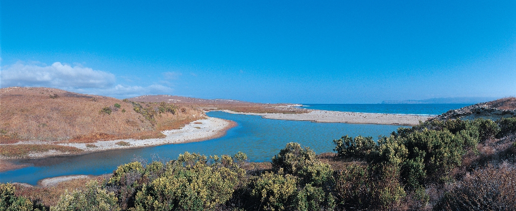
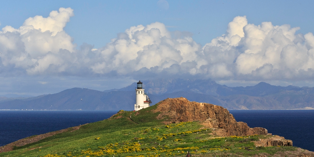
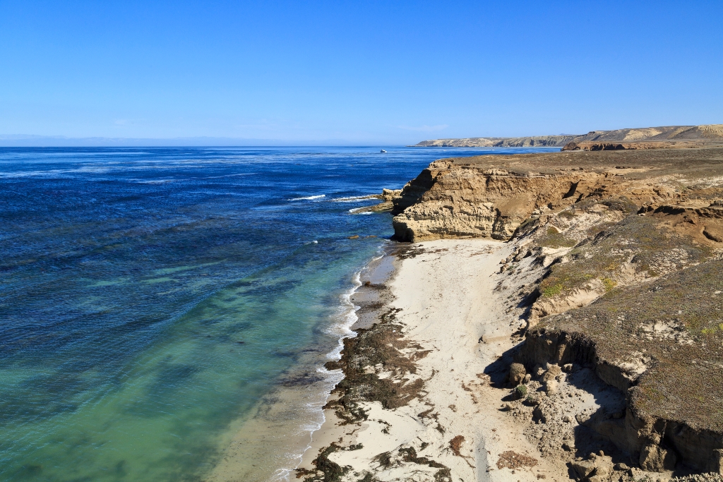
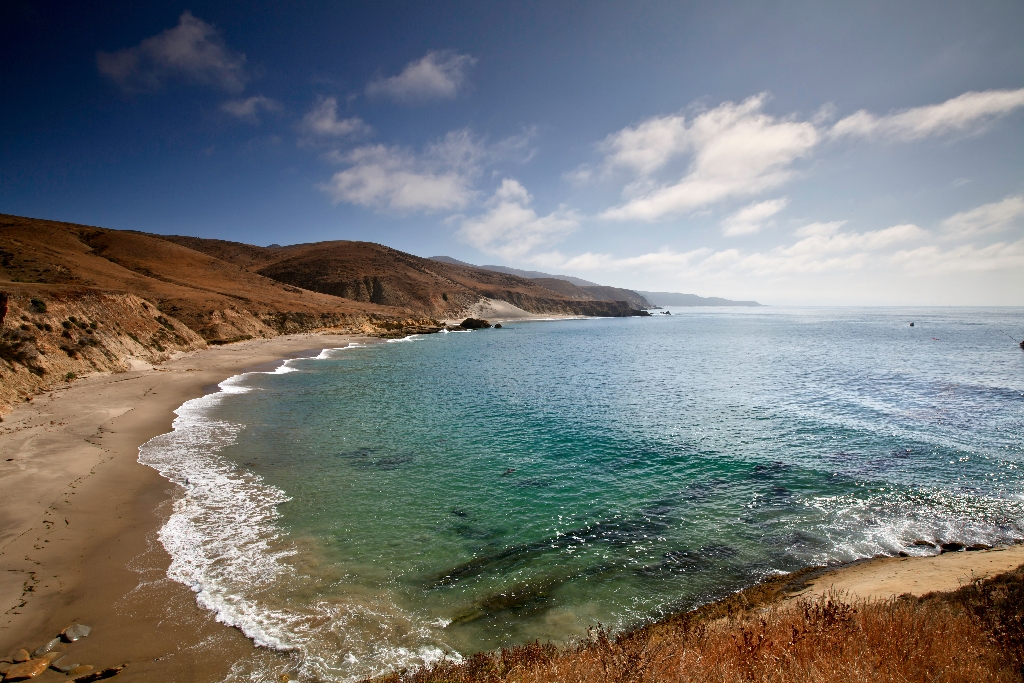
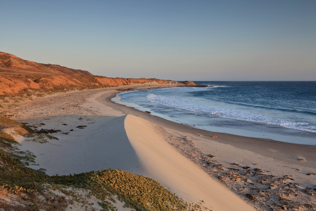
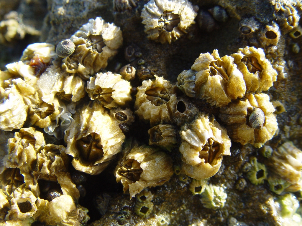
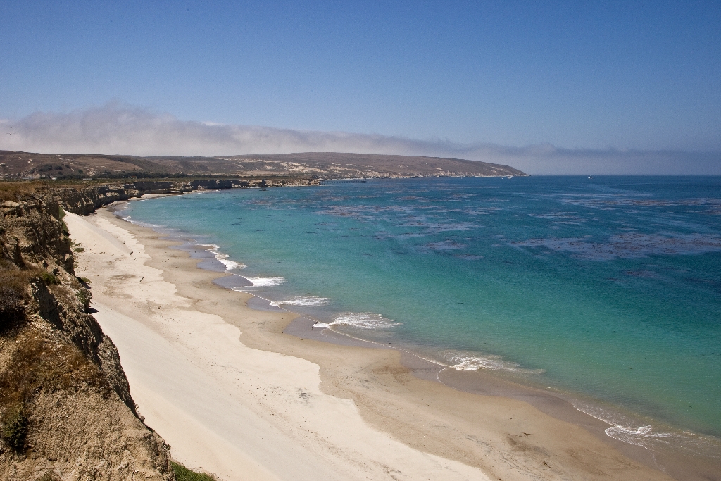
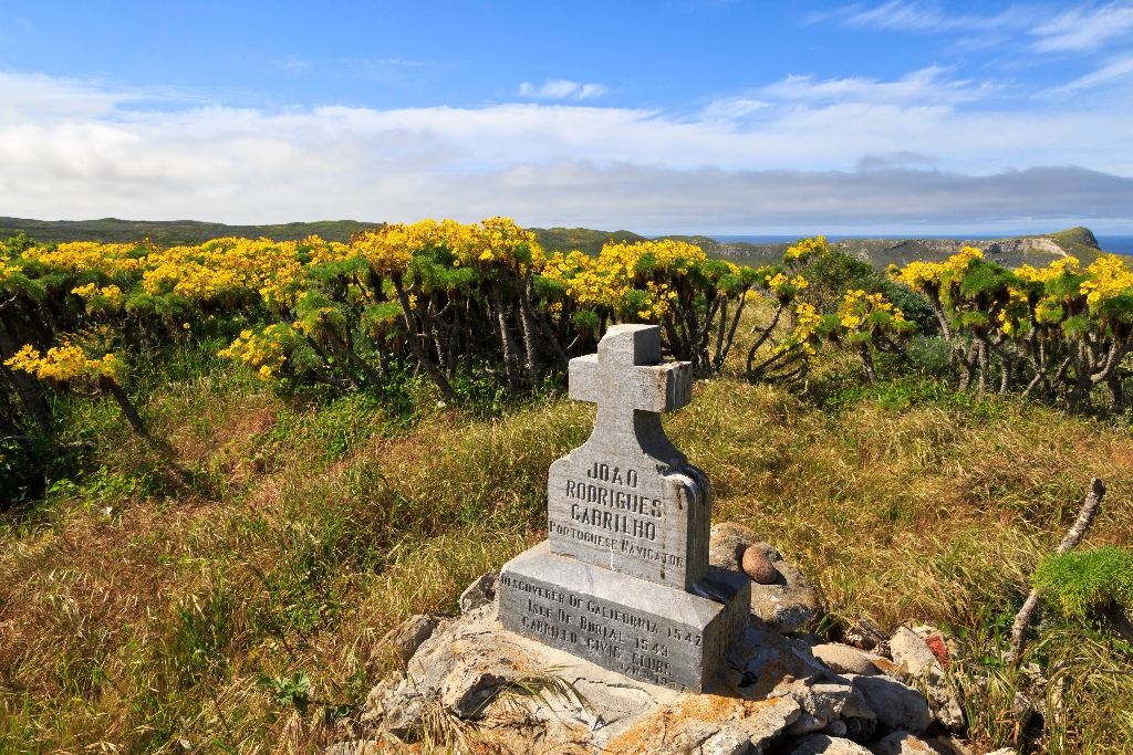
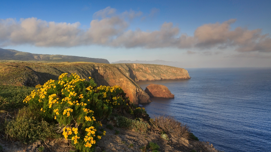
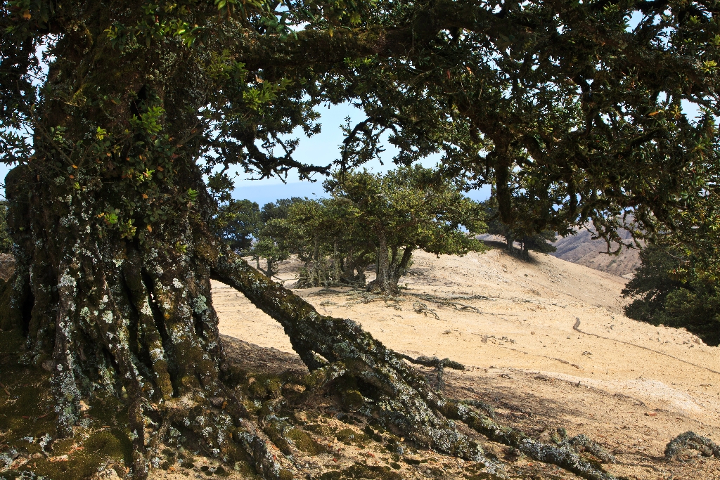
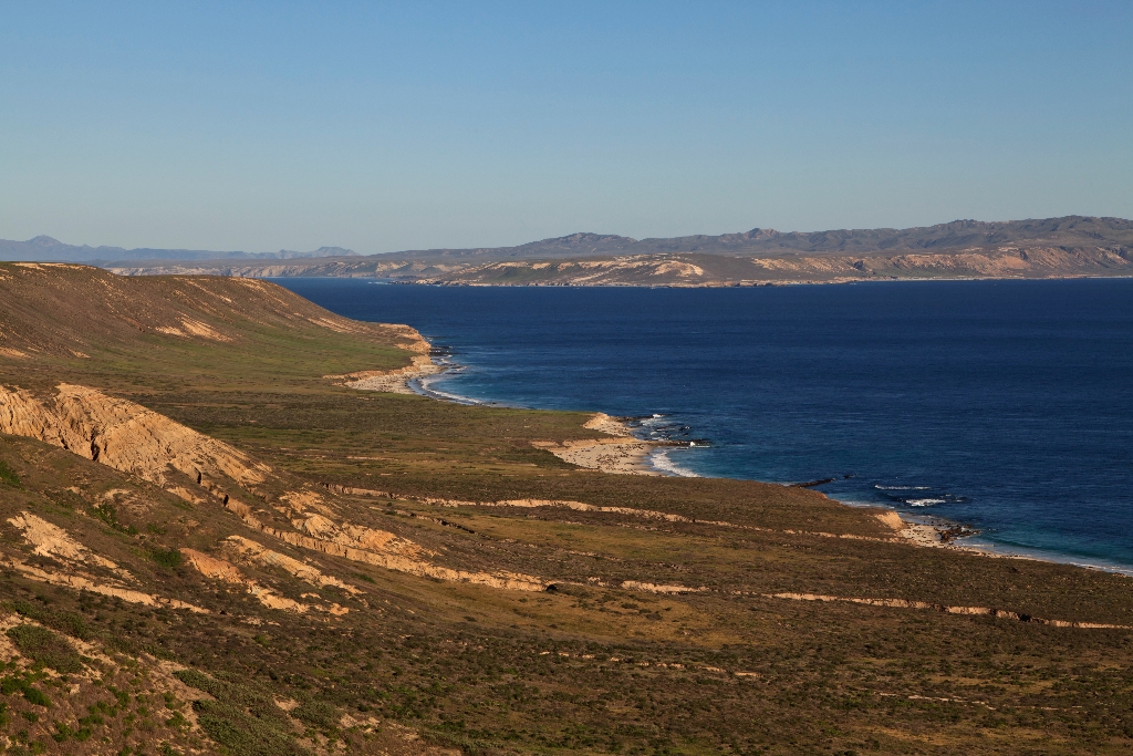
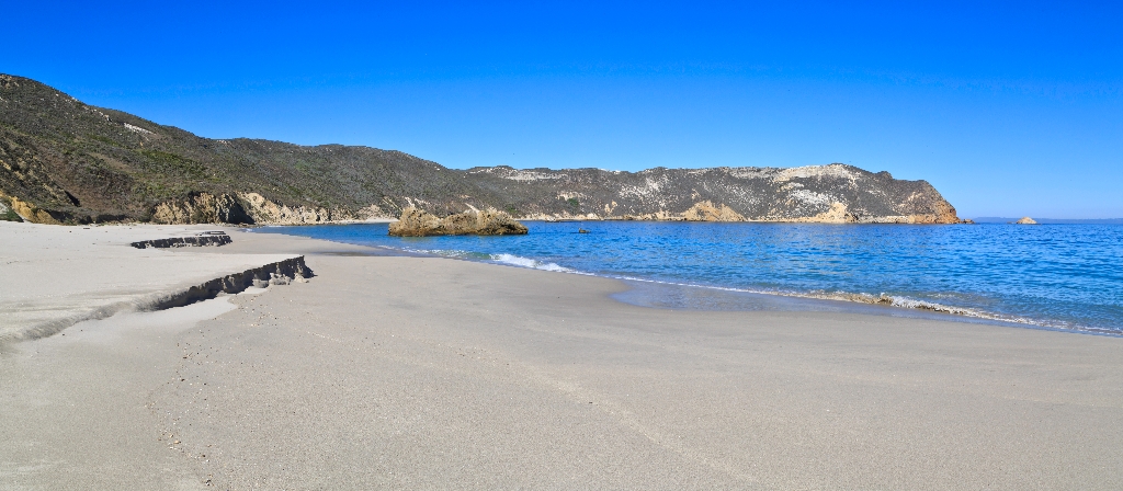
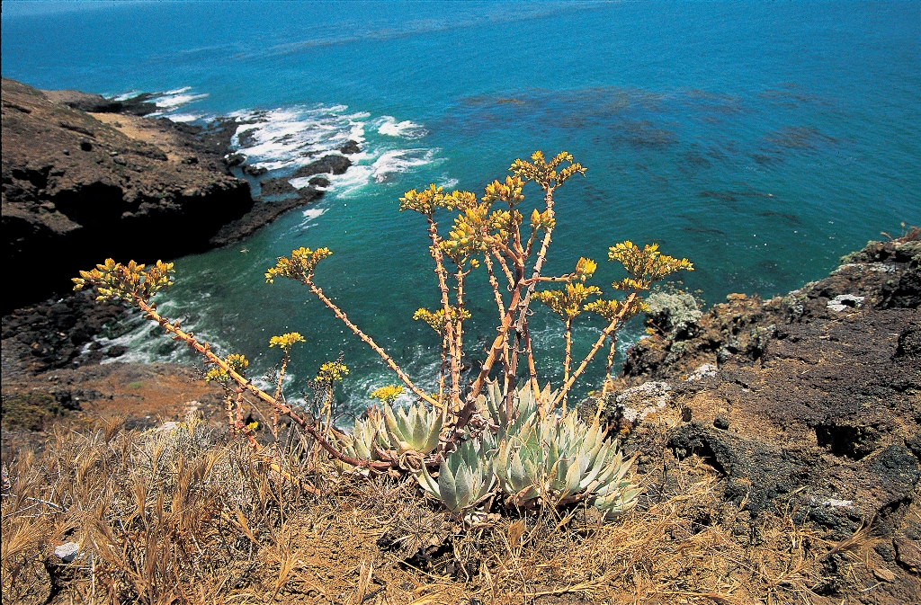
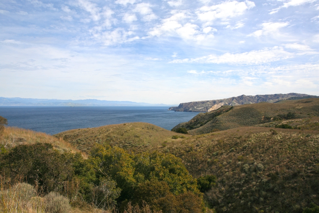
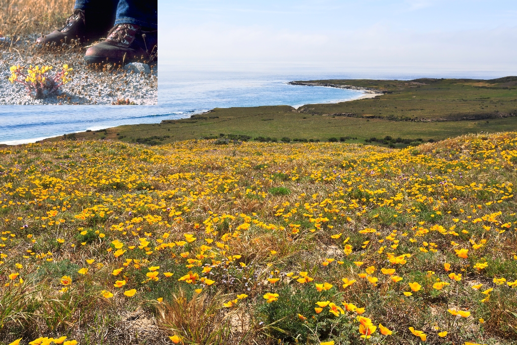
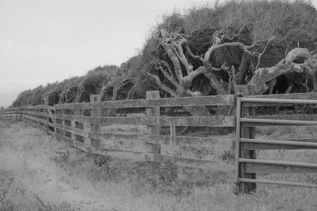
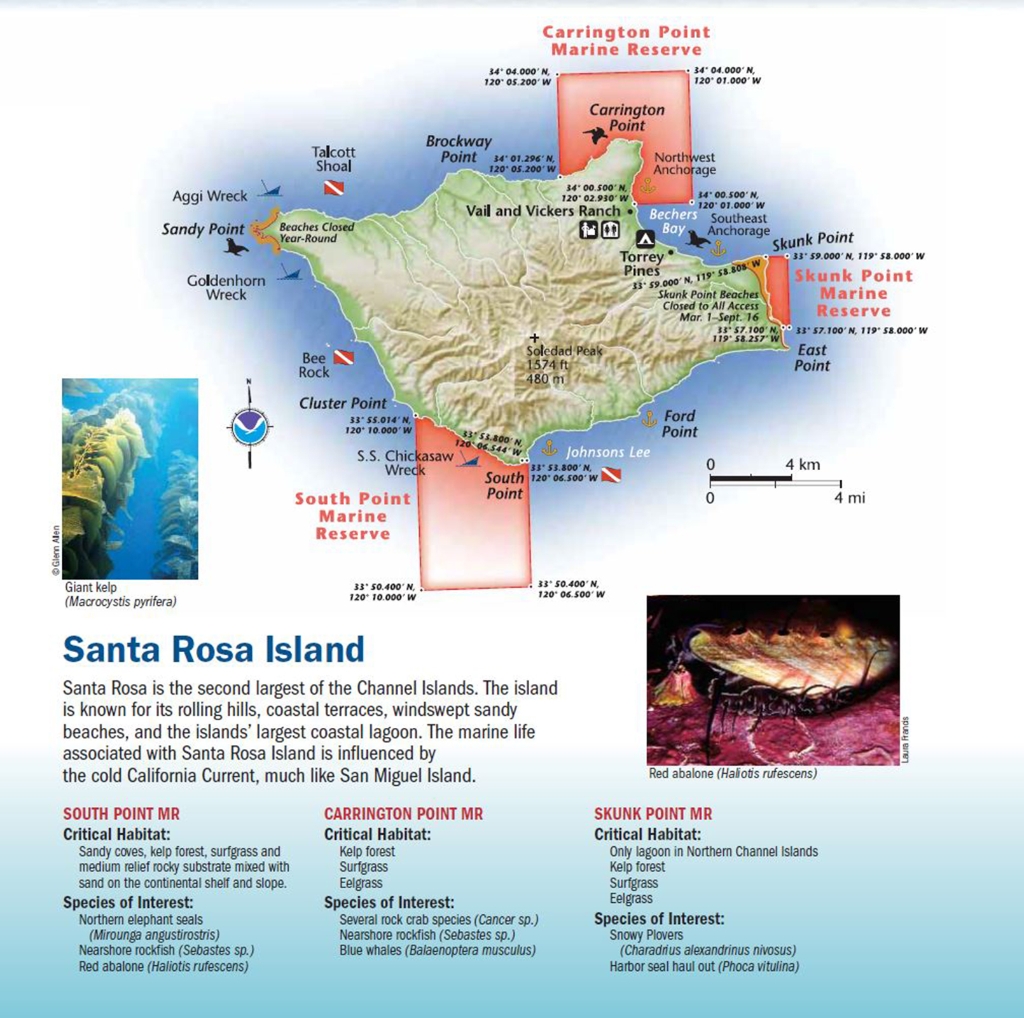
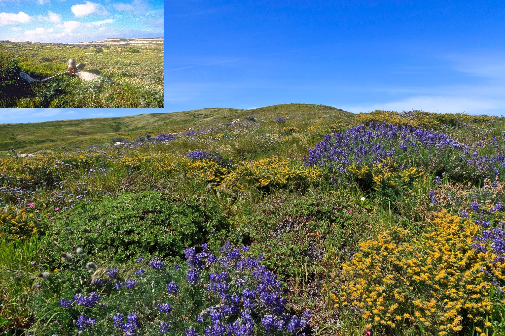
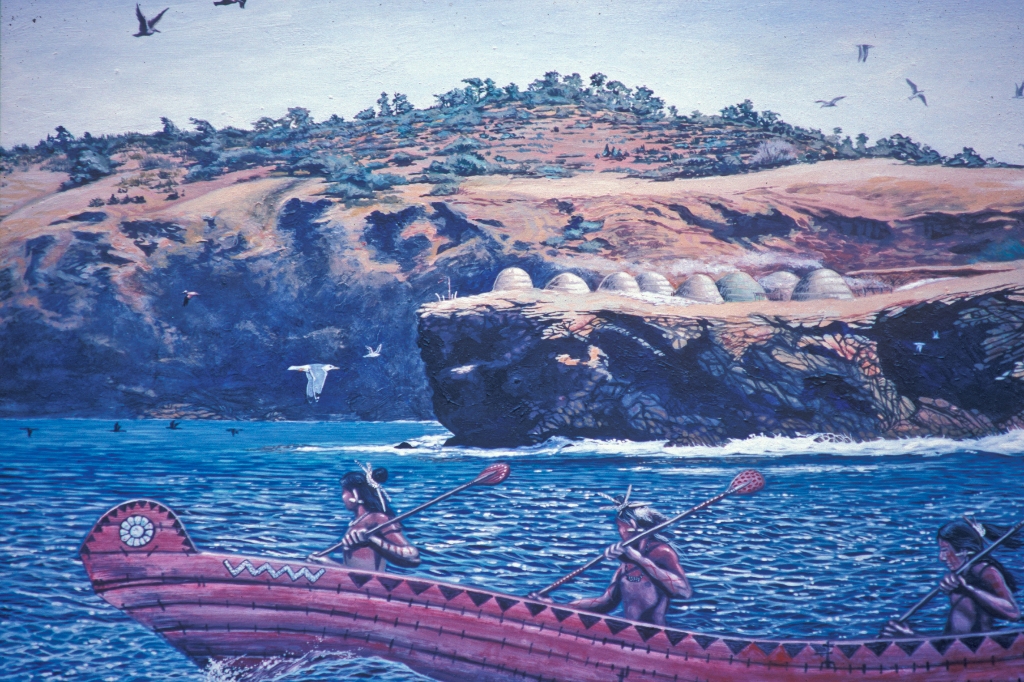
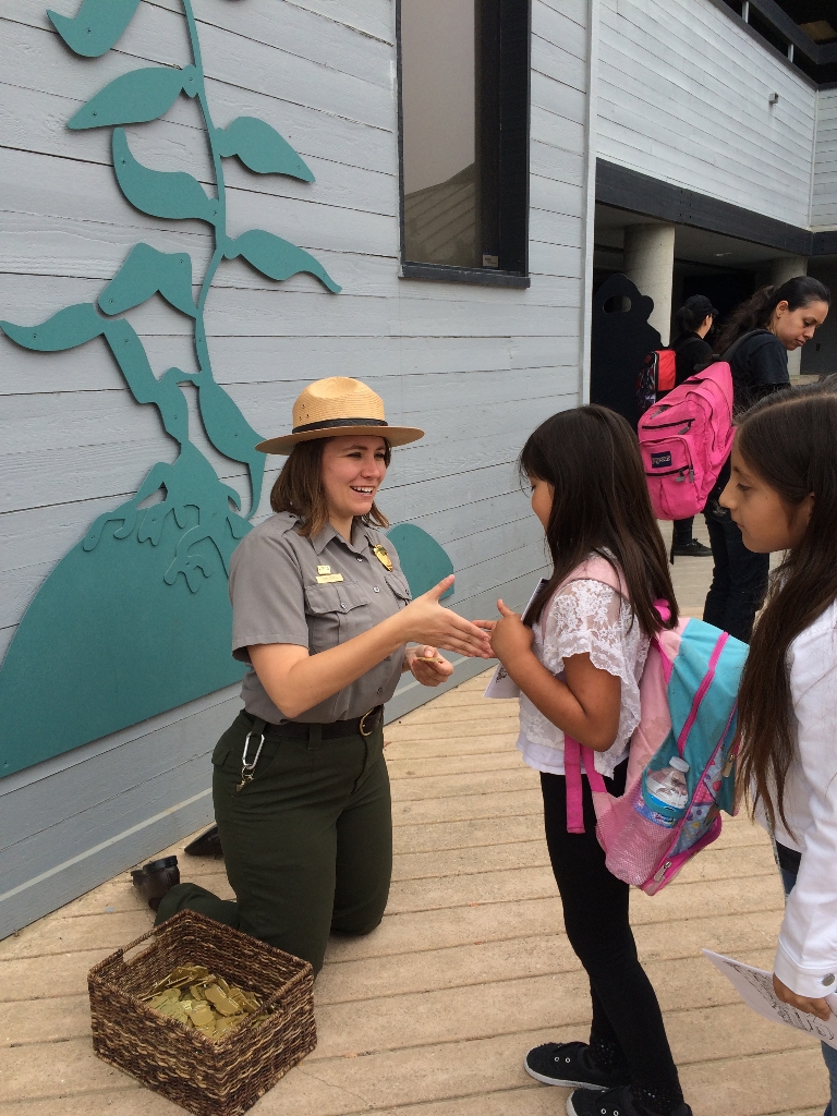
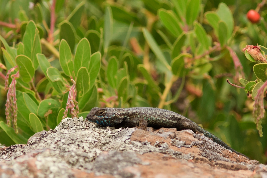
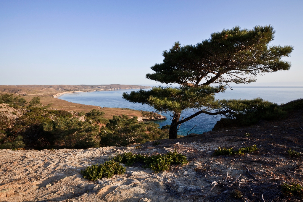
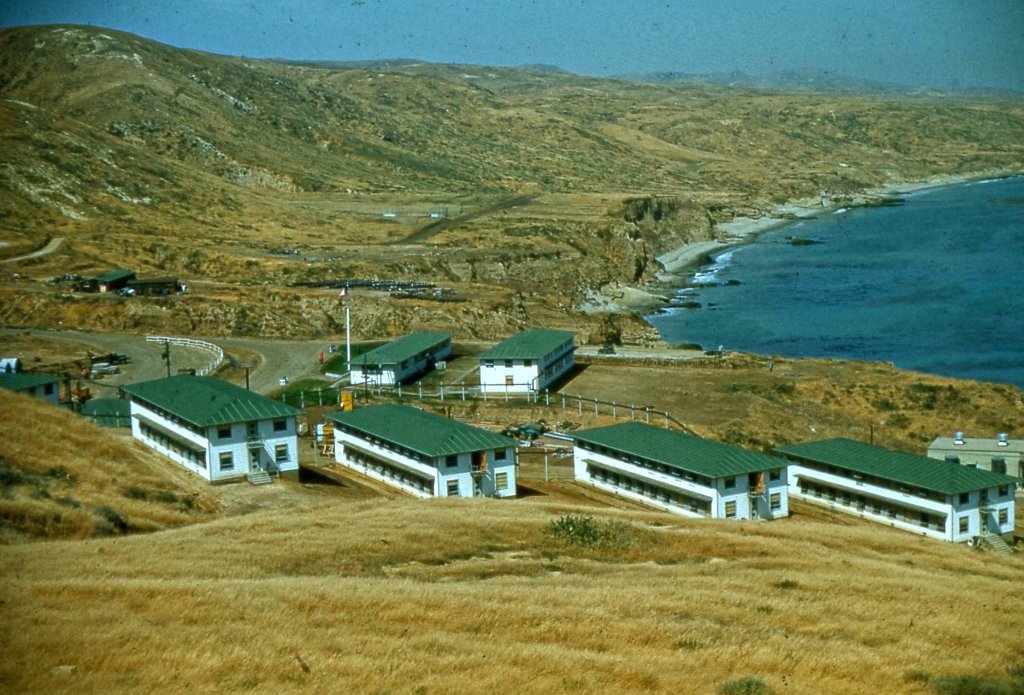
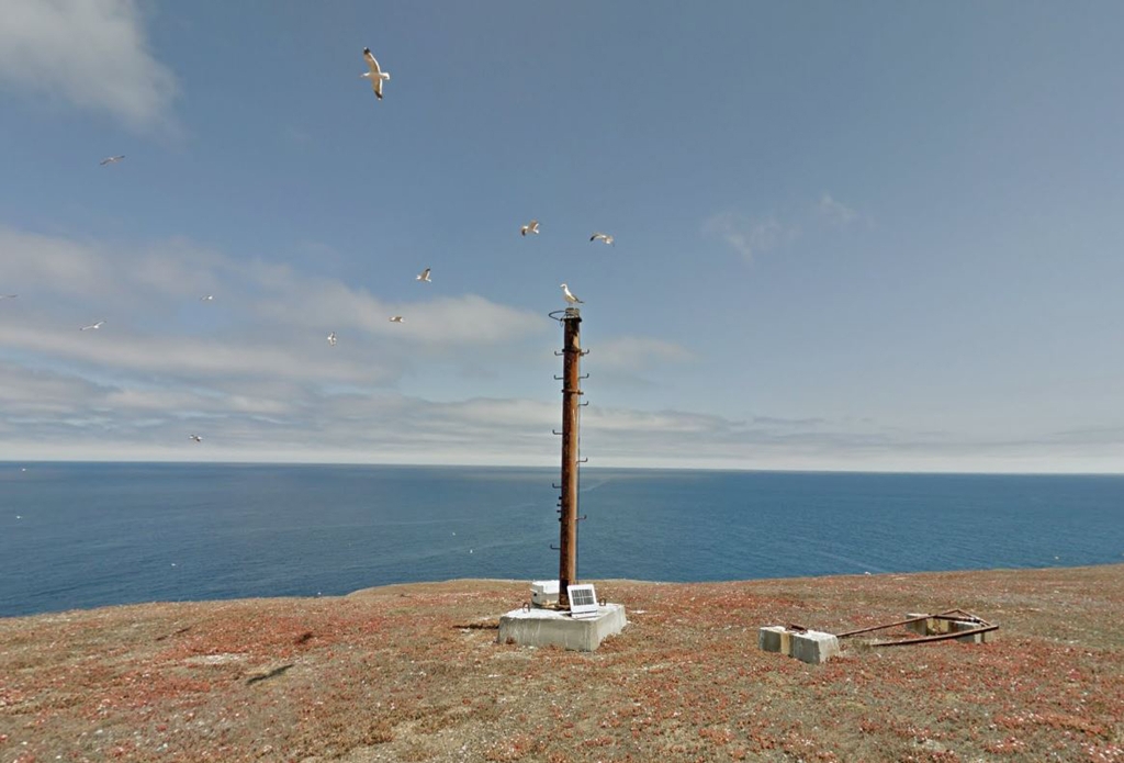
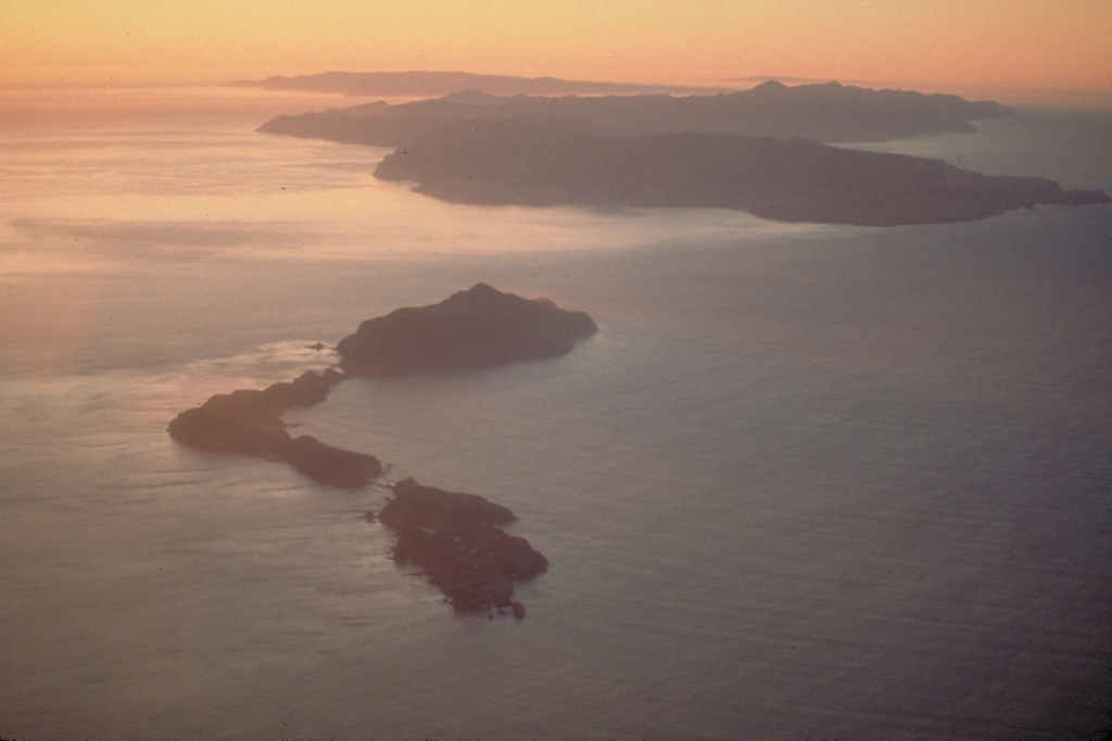
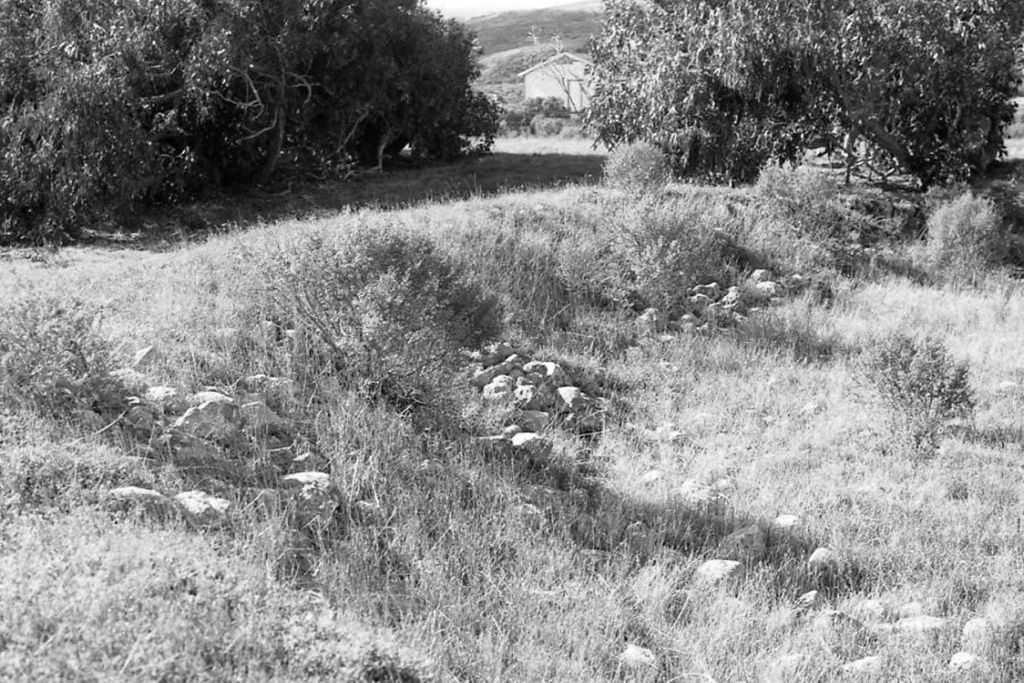
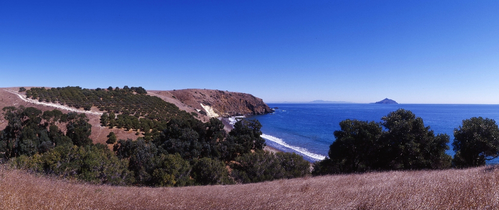
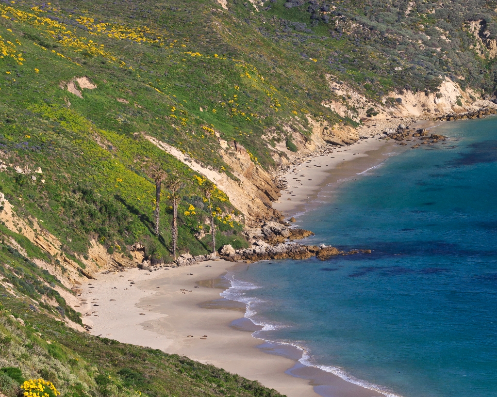
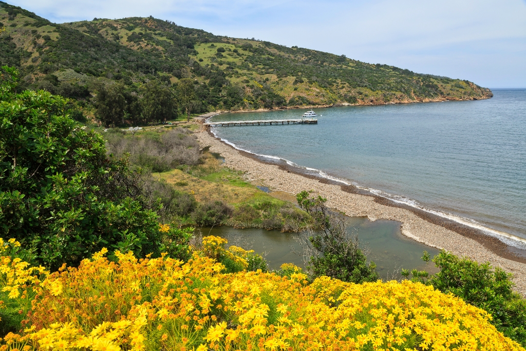
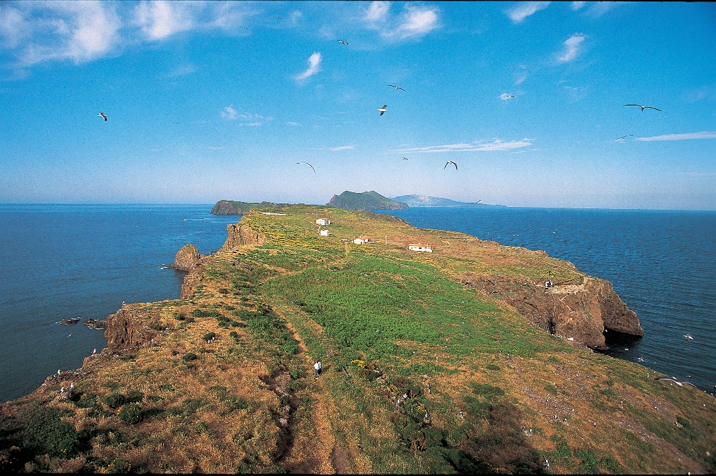
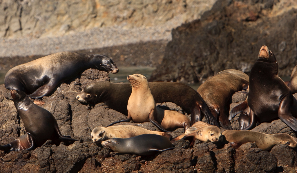
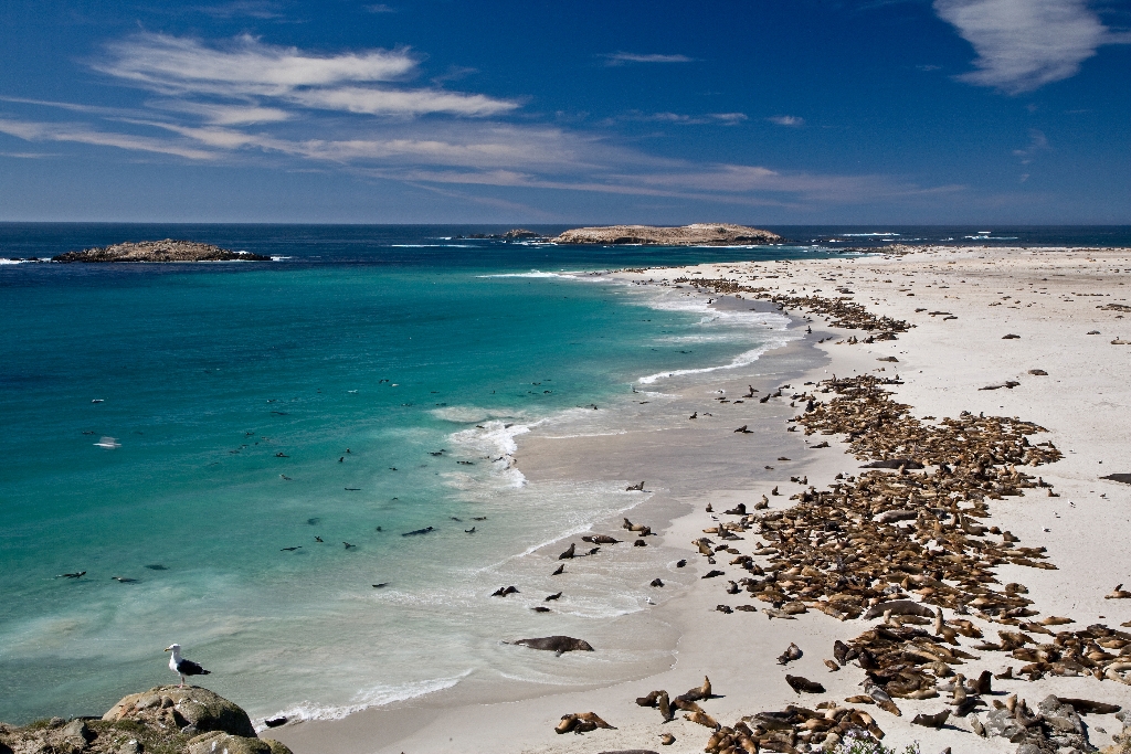
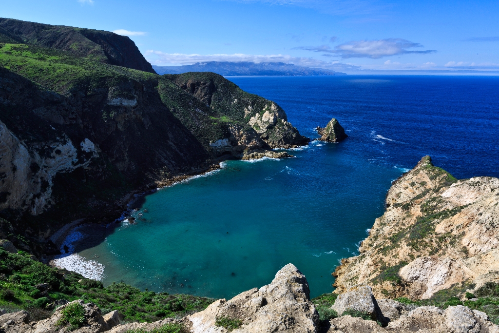
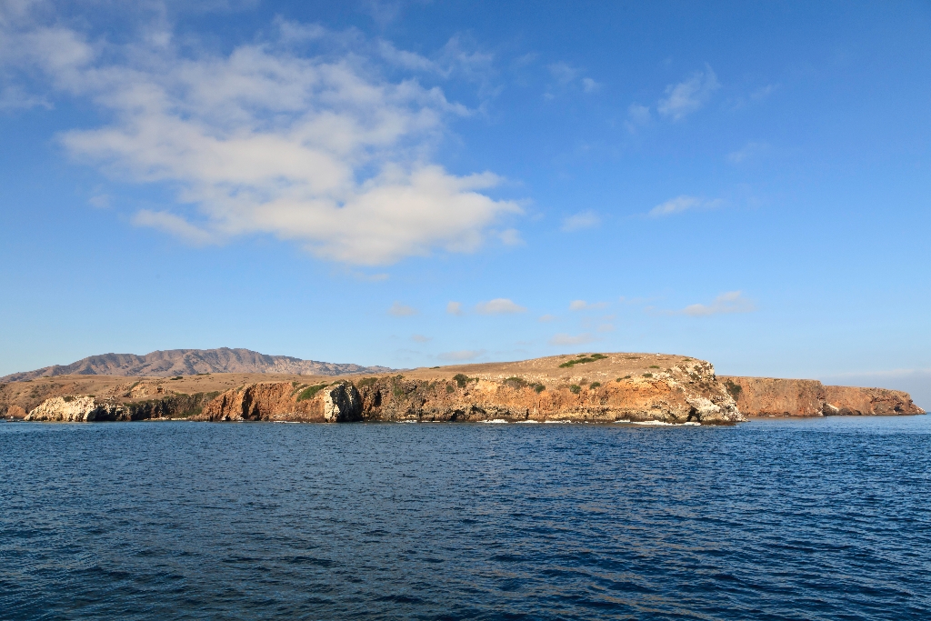
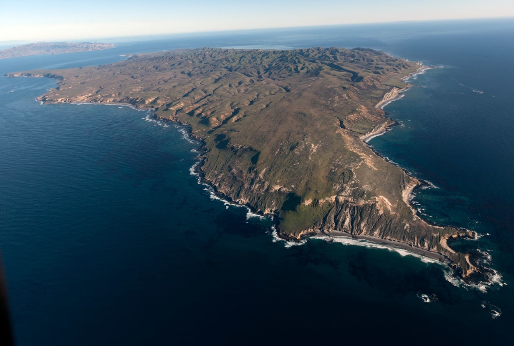
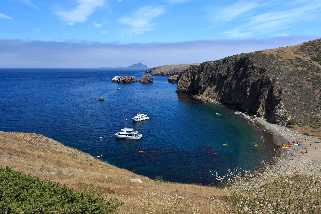
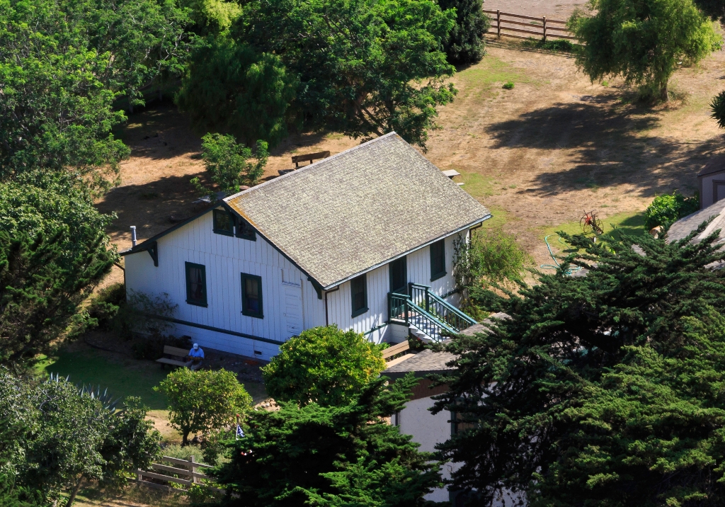
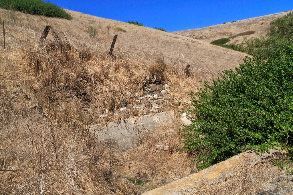
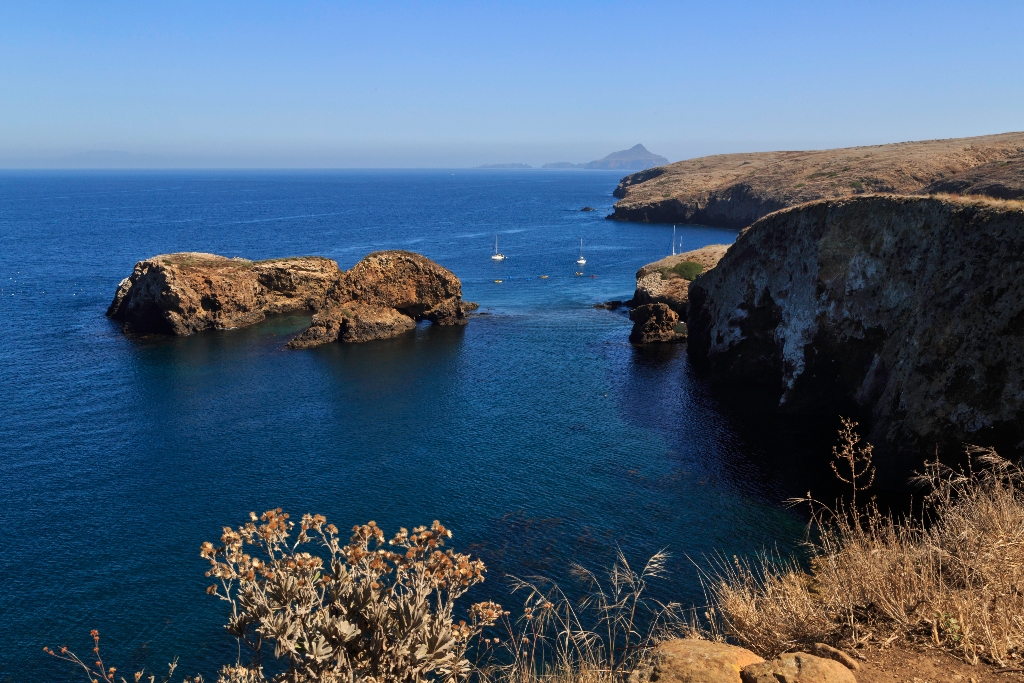
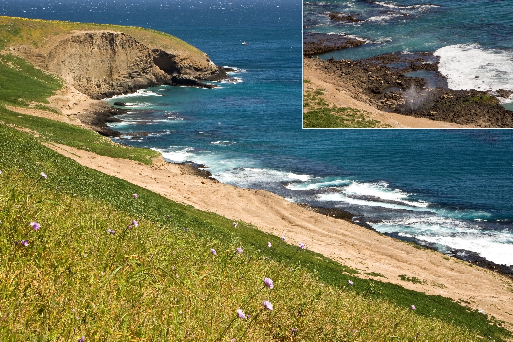
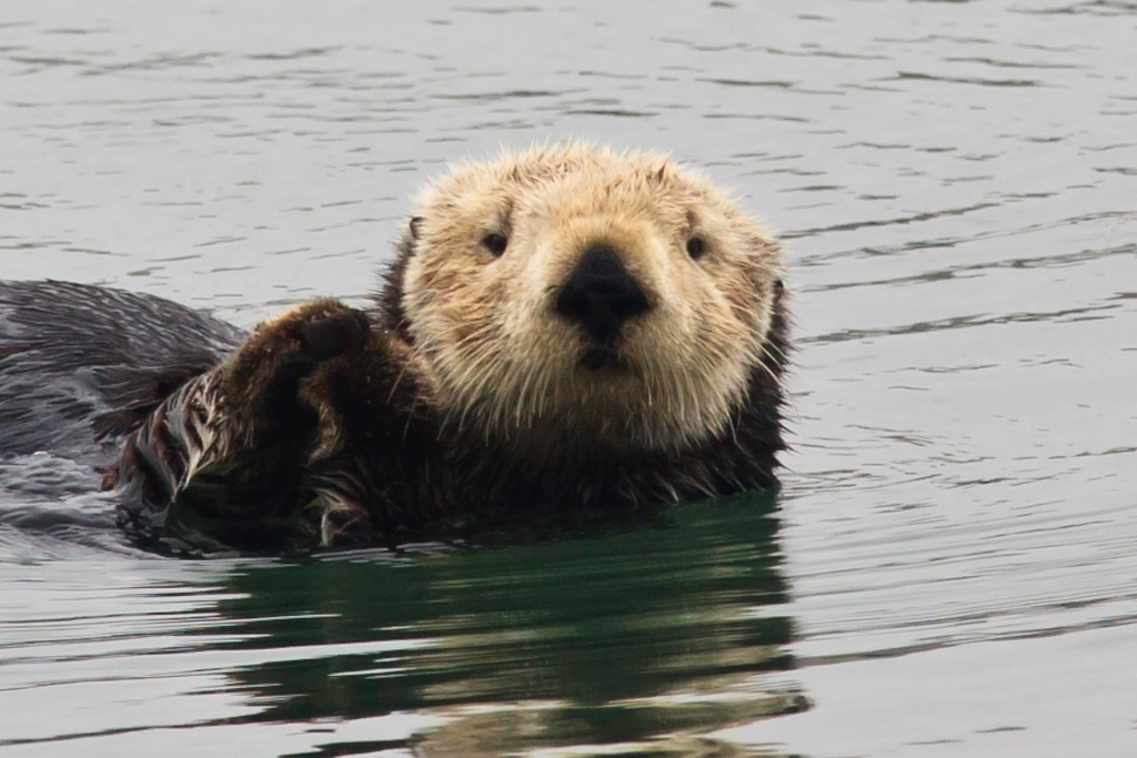
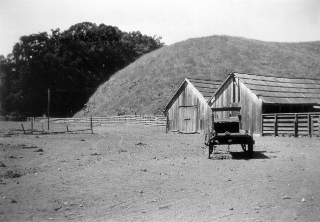
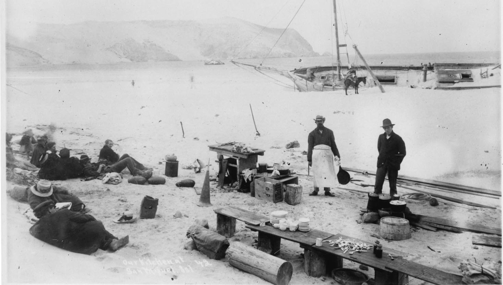
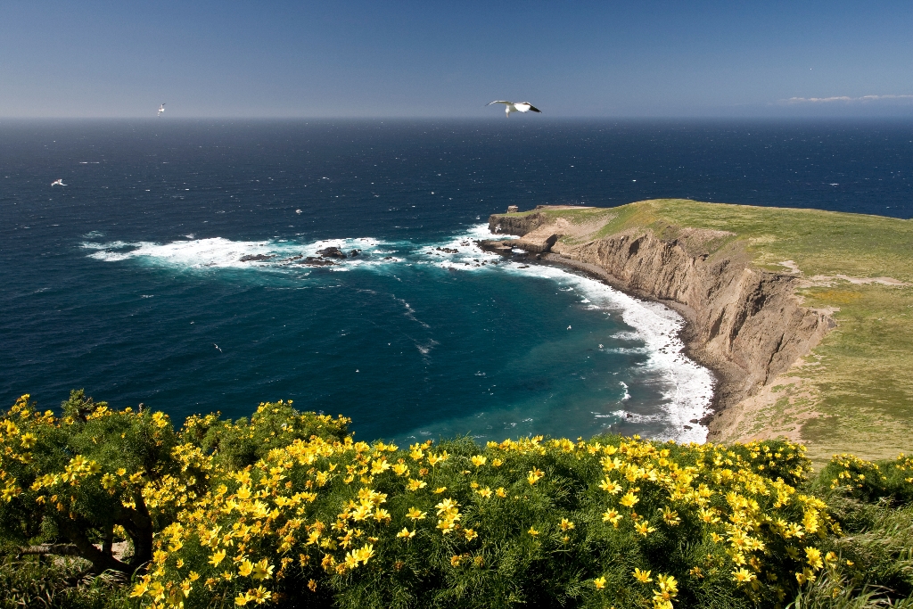
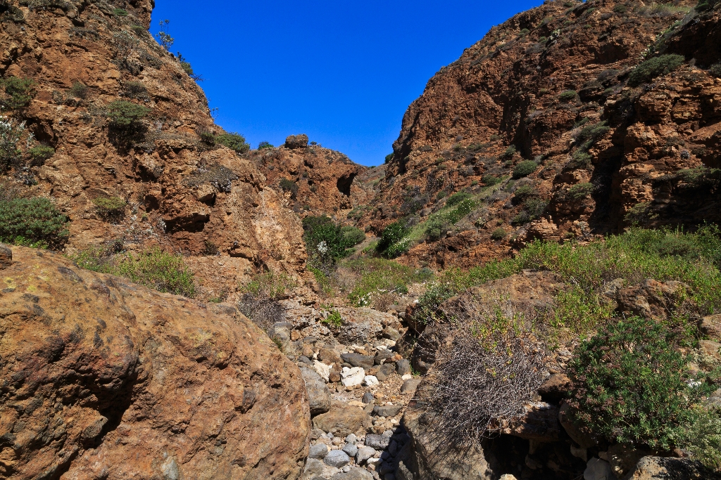
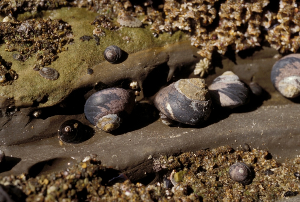
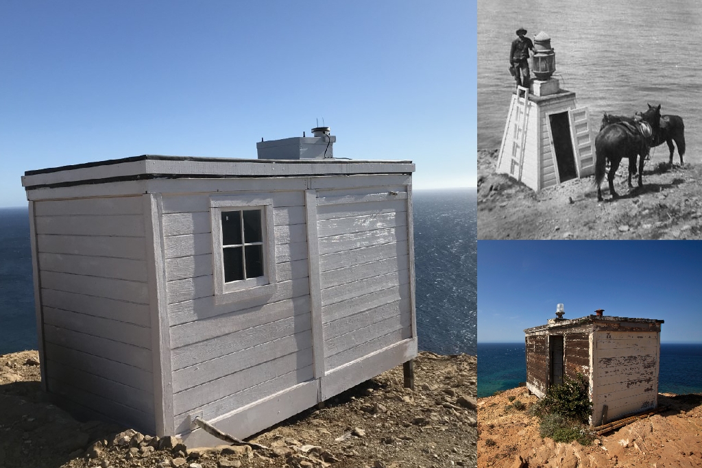
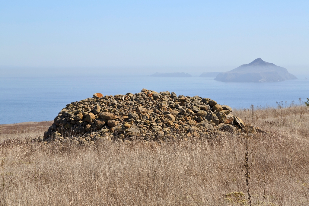
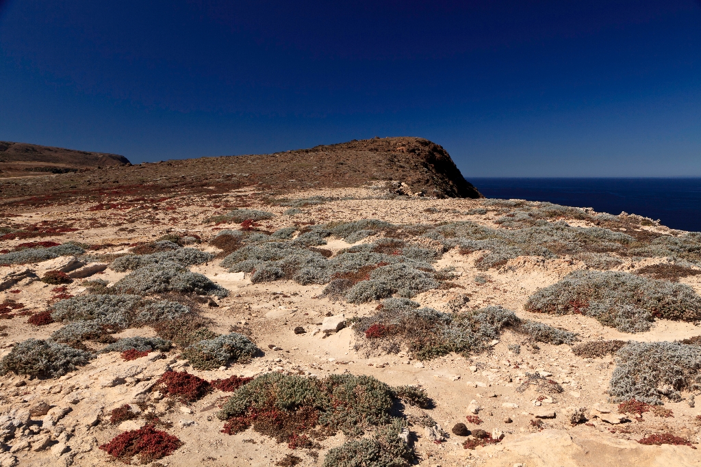
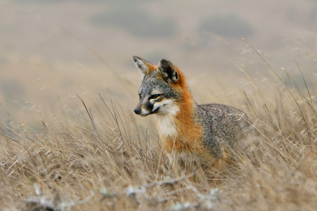
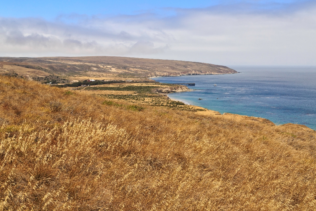
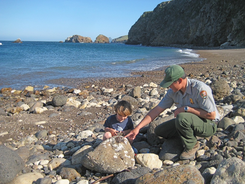
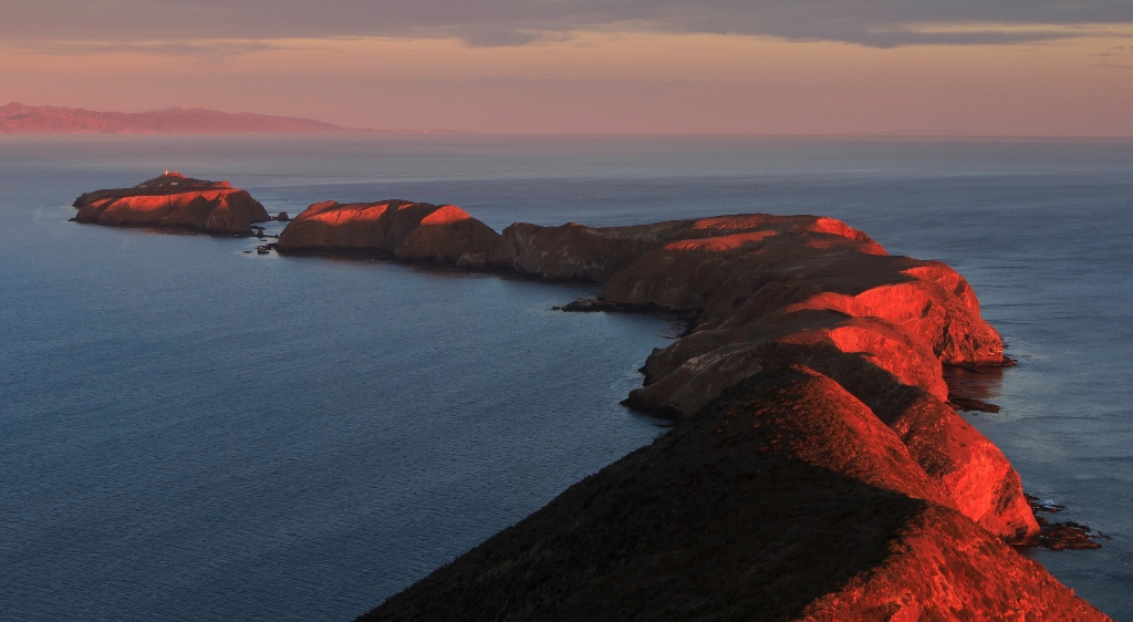
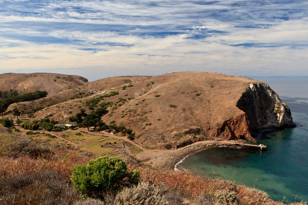
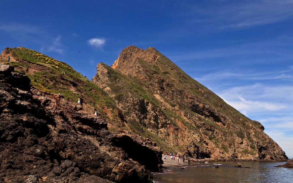
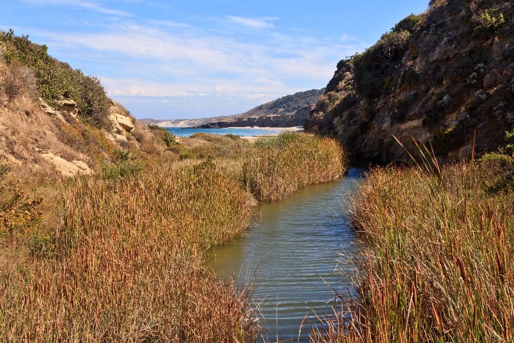
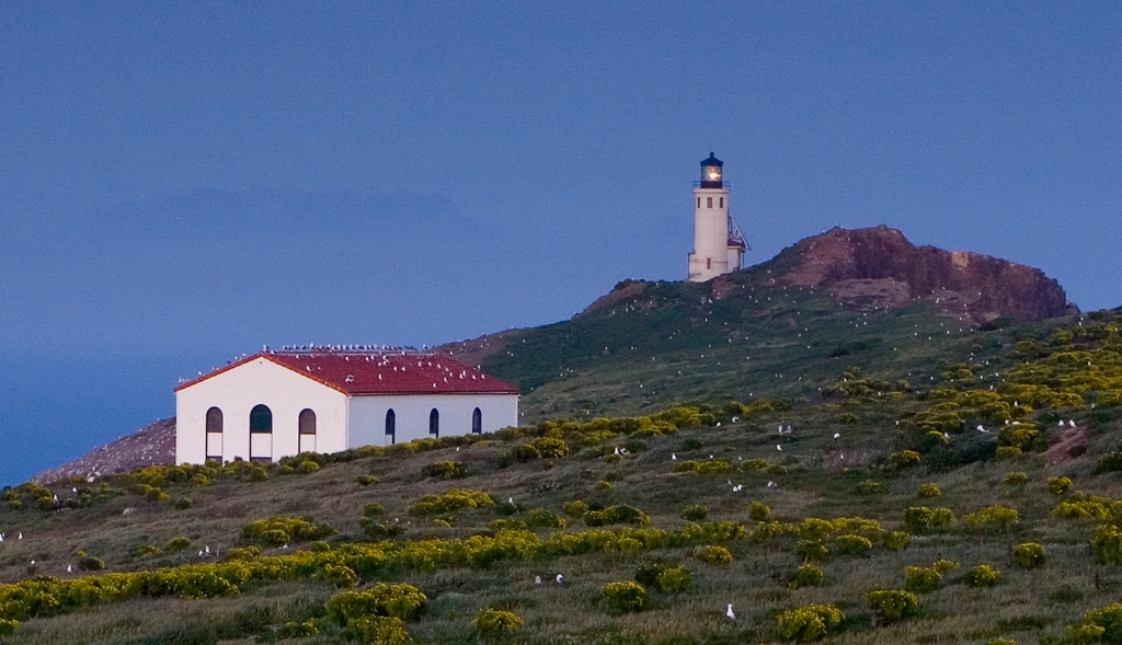
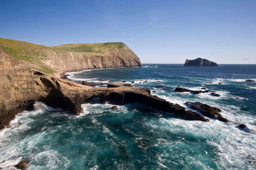
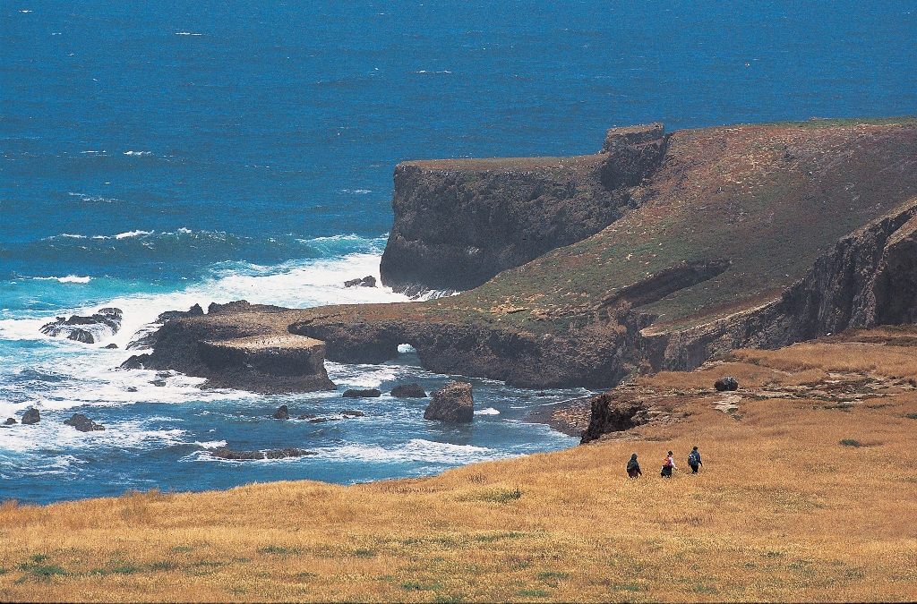
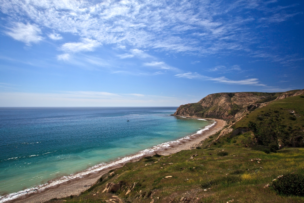
Archaeological site with shell fragments, discovery features ocean's impact.
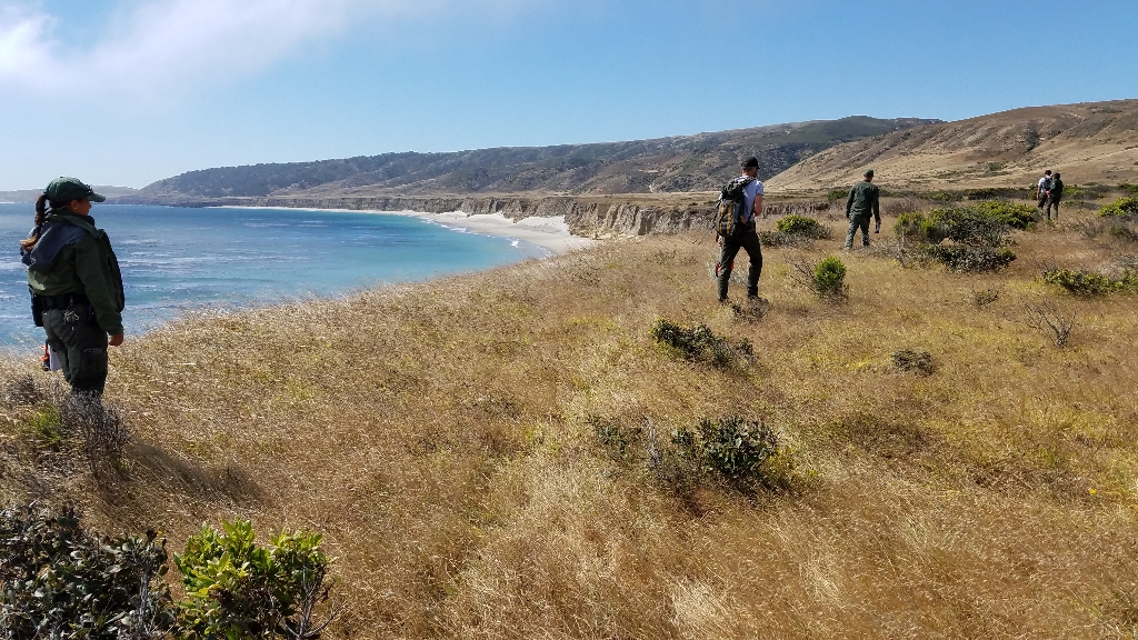
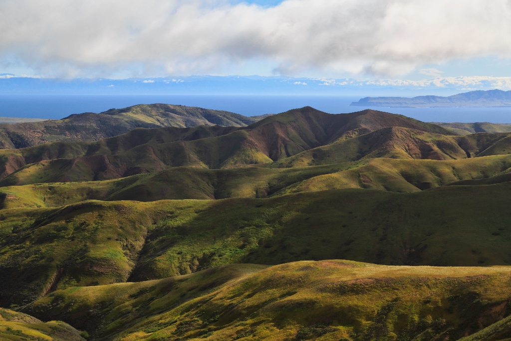
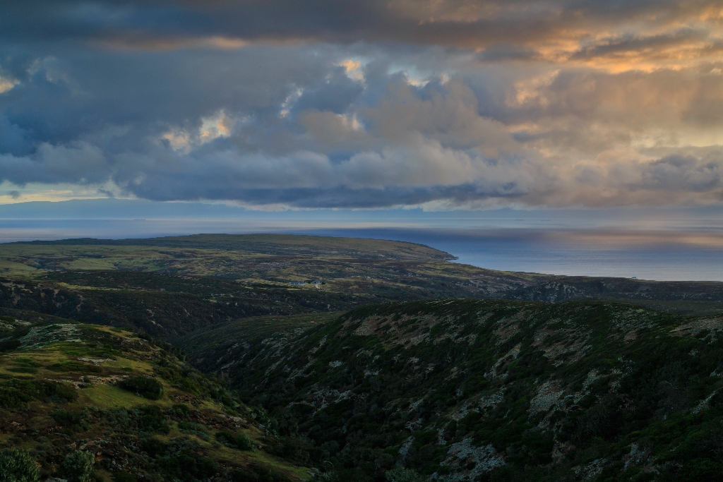
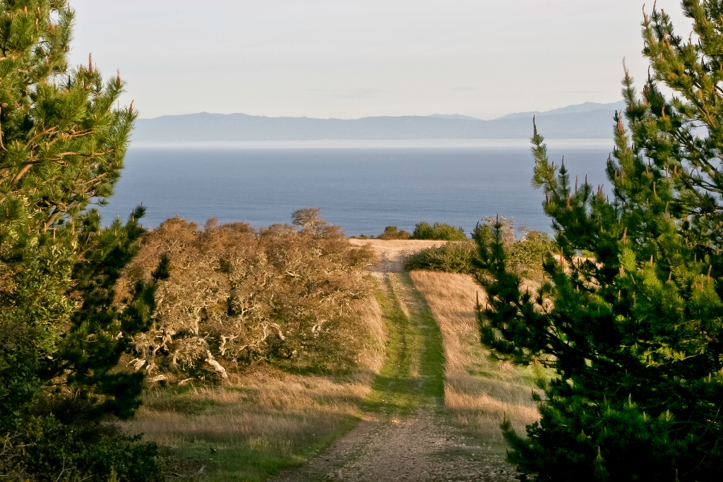
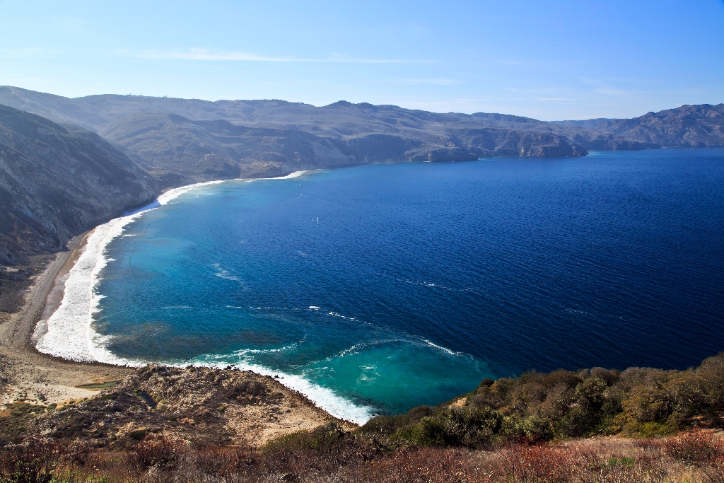
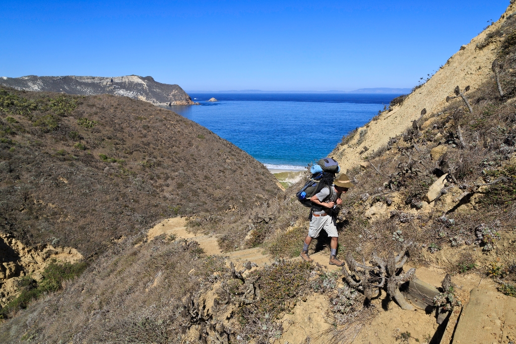
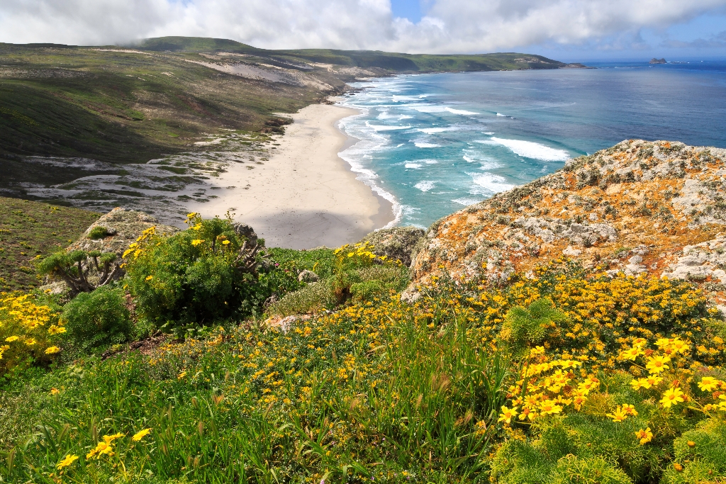
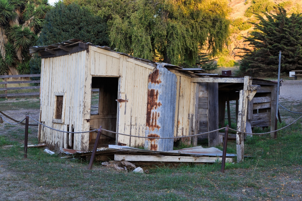
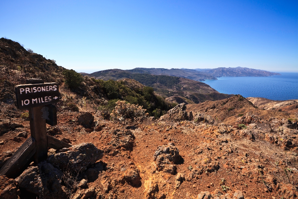
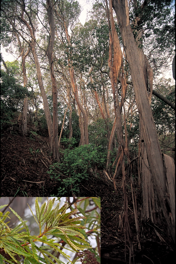
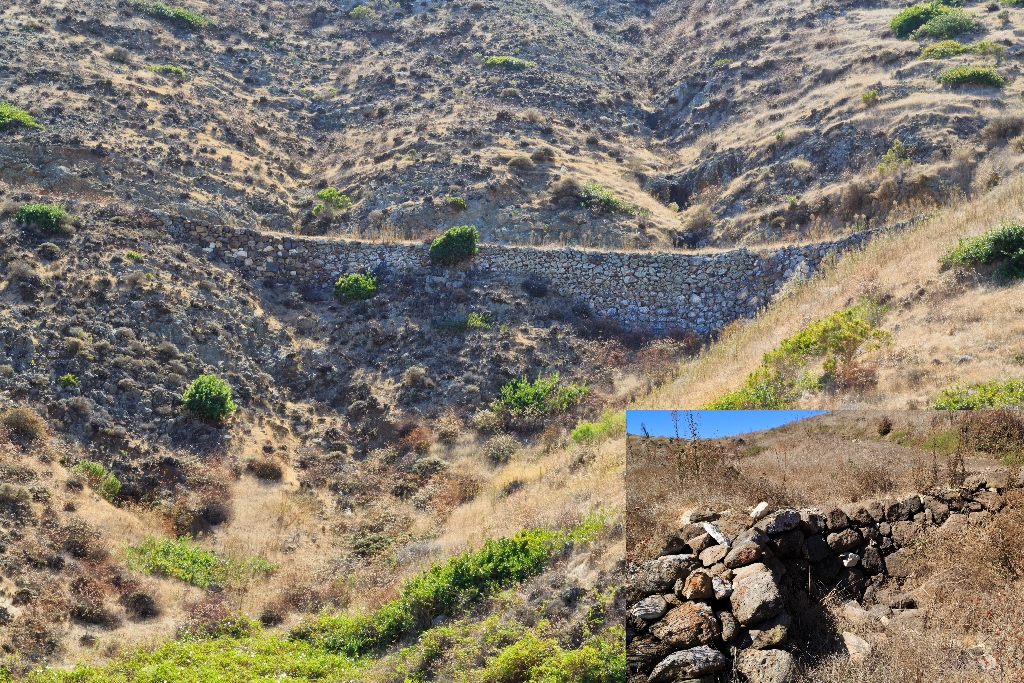
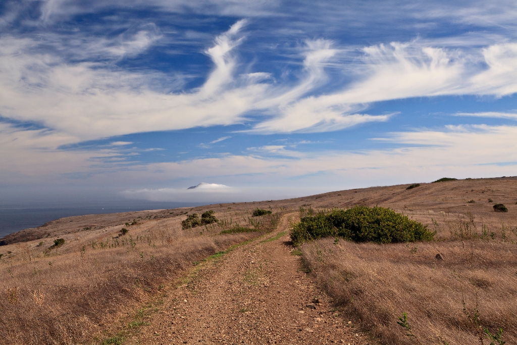
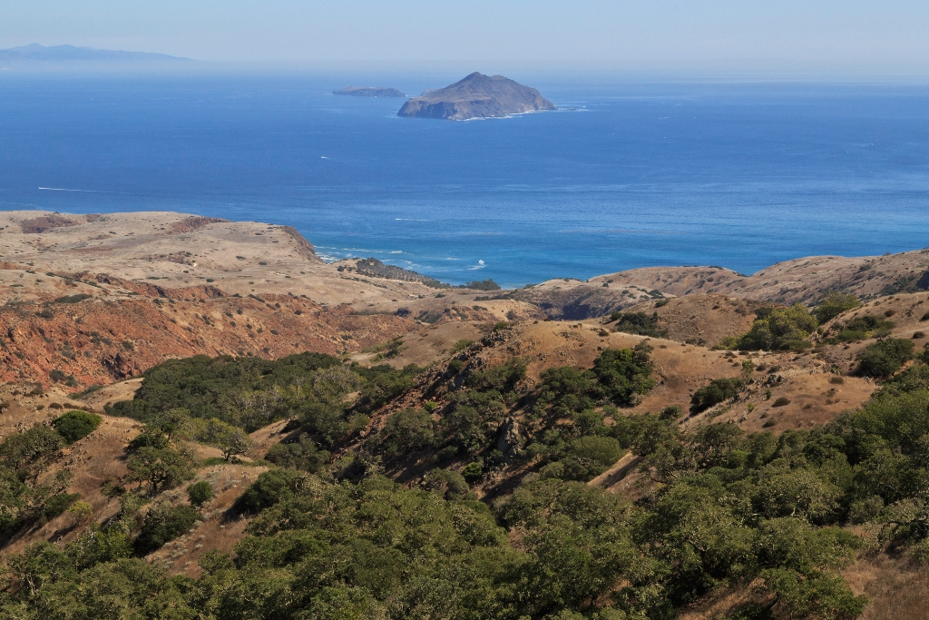
Stop 3: Signal Peak Tour Throughout your hike today, you may discover tiny fragments of broken shells glittering in the soil or piles of shells falling out from the cliff edge. How did these shells get there? It must be the ocean at work-or is it?Archeologists identify these sites as "middens," debris piles containing remnants of past societies-the Tongva, the Chumash, and their ancestors.
Abalone Rocks Marsh
Abalone Rocks Marsh, north of East Point. Largest wetland on northern islands.
Just north of East Point is Abalone Rocks Marsh, the second largest wetland on the northern islands (Prisoners Harbor wetland on Santa Cruz is the largest).
Airstrip
Santa Rosa Island has suitable flat areas for small planes.
In a flyer's eyes, Santa Rosa Island is blessed with a number of suitable flat areas for landing small planes, but the owners restricted flights and landings throughout their tenure. The Vails and others started flying over to the island in the 1930s, landing on a section of hay field southeast of the ranch house, which eventually developed into the "official" landing strip on the island.
Anacapa Island — 'anyapax
Chumash word for Anacapa island is 'anyapax', means 'mirage'.
'anyapax is the Chumash word for Anacapa. It means mean 'mirage' or 'illusion' and refers to the atmospheric phenomena that occasionally distorts the appearance of the island when viewed from the mainland. Almost five miles long, these islets (appropriately named East, Middle, and West Anacapa Islands) have a total land area of about one square mile (700 acres). Waves have eroded the volcanic island, creating towering sea cliffs, sea caves, and natural bridges.
Anacapa Island Landing Dock
Anacapa Island access via steel-rung ladder, 157 stairs to top.
Since Anacapa is a cliff island, access to top is only at the Landing Cove on East Anacapa. Visitors must climb from the boat up a steel-rung ladder to a dock. Once ashore, visitors must climb 157 stairs to the top of the island.
Anacapa Island Webcam
Anacapa Island Webcam showcases Arch Rock, lighthouse, seabirds, sea life.
The Anacapa Island Webcam provides incredible views of the park's iconic symbol Arch Rock, seabird rookeries, and the historic lighthouse, as well as the ocean life and sea conditions at the landing cove and nearby waters.
anipʰkʰwa’an
Chumash word anipʰkʰwa’an means 'do not enter gap.' Kʰwan means 'entrance.'
anipʰkʰwa’an is the Chumash word for the gap between Middle and East Anacapa Islands. It means 'do not enter the gap.' Deriving from kʰwan, which means 'entrance.'
Arch Point
One-mile round trip hike with wildflowers and coastal views.
This one-mile, round trip hike from the visitor center offers wildflowers in season and great coastal views of Arch Point. This arch on the northeast shore of the island is a 130 ft tall and was created by wave erosion of fault weakened rock.
Arch Point Hike
Rewarding coastal hike with stunning views, wildflowers in season. 1 mile.
Incredible sunsets, coastal views, and wildflowers in season are the reward for the one-mile, round-trip hike to Arch Point.  Distance: 1 mile (round trip from visitor center) Difficulty: Moderate 
Arch Rock — pasawapʰ hoti or ’aɬwaštimot̓o
Chumash word for Arch Rock means 'house of cormorant'. Towering cliffs, caves, bridges. Walking time not specified.
pasawapʰ hoti is the Chumash word for Arch Rock. It means 'house of the cormorant.' Arch Rock was also known as ’aɬwaštimot̓o. Waves have eroded the volcanic island, creating towering sea cliffs, sea caves, and natural bridges, including forty-foot-high Arch Rock-a symbol of Anacapa and Channel Islands National Park.
Backcountry Beach Camping Northwest Quadrant
Backcountry camping available. Sandy Point to Carrington Point. September-December.
Primitive, dispersed backcountry beach camping is available in the Norththwest Quadrant (Sandy Point to Carrington Point) from September 16 through December 31.
Backcountry Beach Camping Southeast Quadrant
Backcountry beach camping available from August to December in Southeast.
Primitive, dispersed backcountry beach camping is available in the Southeast Quadrant (East Point to South Point) from August 15 through December 31. Learn more at:
Backcountry Beach Camping Southwest Quadrant
Backcountry beach camping available from September to December.
Primitive, dispersed backcountry beach camping is available in the Southwest Quadrant (South Point to Sandy Point) from September 16 through December 31.
Bald Eagle Webcams
Bald Eagle Webcams show breeding and nesting behavior.
The Bald Eagle Webcams provide an intimate view of the breeding and nesting behavior of bald eagles at the Channel Islands.
Be A Channel Islands Junior Ranger
Child program about islands, get free ranger booklet at center.
This program helps children discover and protect the wonders of the islands. Ask for a free junior ranger booklet at the visitor center or boat/plane concessionaire offices or on the islands from park staff.
Becher's Bay
Becher's Bay on Santa Rosa Island, protected with pier and beach.
Becher's Bay is the main port of entry to Santa Rosa Island. The bay provides some protection from the strong northwest winds. The bay contains a pier and beautiful, wind-swept, white-sand beach. 
Becher's Bay Coastal Trail Hike
Flat coastal walk with great views, 2-mile round trip. Be cautious with airplanes.
A flat walk along coastal bluffs with great views. Connects with the coastal road near the airstrip with access to Water Canyon Campground, Water Canyon Beach, and other destinations. Be aware of planes as the airstrip is active. Distance: 2 miles (round trip from pier to airstrip junction) Difficulty: Easy
Becher's Bay Pier
Visitors climb ladder to pier, skiff to beach when closed.
Boat visitors must climb from the boat up a steel-rung ladder to a pier at Becher's Bay on Santa Rosa Island. When the pier is closed, landings are via skiff onto the beach. For nearly 150 years, Santa Rosa Island owners maintained a pier to accommodate shipping cattle, sheep, and supplies. The first pier on Santa Rosa Island was constructed in June 1859, presumably at Bechers Bay near or at the present site of the pier.
Bird Watching
Channel Islands have diverse bird species, unique from mainland birds.
The Channel Islands support a rich variety of birds, distinct in many ways from the birds of the adjacent mainland. The islands offer protected habitat in an increasingly disturbed southern California environment.
Black Mountain
Highest peak with stunning views, 8-mile roundtrip hike.
The highest peak (1298 feet) on the northeast side of the island provides stunning views to visitors willing to make the strenuous 8-mile rountrip hike.
Black Mountain Hike
Steep climb with oak woodlands and views, loop hike option.
A long, steep climb that rewards visitors with oak woodlands and great views (weather permitting) of Santa Rosa, San Miguel, Santa Cruz, and the mainland. Visitors may make this a loop hike by including the Cherry Canyon trail and Telephone and Soledad roads. Distance: 8 miles (round trip from pier) Difficulty: Strenuous
Blacksmith Shop (Scorpion Ranch)
Archeological excavations revealed blacksmith shop artifacts near 1892 forge.
Archeological excavations around and within this building revealed artifacts and materials that suggested that this may have been the location of the"forge" or blacksmith shop shown on an 1892 map.
Blacksmith Shop Barn and Matanza Boilers
Building served various purposes, likely from 1870s. Walking time: none.
This building has been called the blacksmith shop, freezer barn, generator barn, and a barn-utility building. It was probably constructed in the early 1870s and housed the original blacksmith shop and other workshops and utility areas.
Buffalo Hay Baler
Hay balers invented in 1850s, slow development focused on small farmers.
Hay balers were first built in the 1850s. Except for the efforts of a few individuals, hay presses were given little attention for another two decades. Even then the development of hay presses came very slowly. The early balers such as this Buffalo were primarily designed for the needs of small farmers, requiring small capital outlay, besides the advantage of being a one or two-man operation. These balers were horse-powered. After a few hours of experience, a horse would wal
Bunkhouse
Bunkhouse rebuilt in 1970 after fire destroyed original complex.
The current bunkhouse was built in 1970 after the original bunkhouse burned to the ground in 1969. The original bunkhouse, actually a complex of three buildings-the foreman's residence, the bunkhouse, and the cookhouse-had been built either by Alpheus Thompson in 1855 or by the More family around 1870.It was described by Edward Vail in 1901 as a "large two-story ranch house" and was used by Vail & Vickers to house the foreman and the crew's dining room. Men slept in a long, o
Cabrillo Monument
Monument of stones with granite cross near old shearing sheds.
The Cabrillo Civic Clubs erected a monument in the form of a pile of stones and prehistoric stone artifacts topped by an inscribed granite cross on a knoll near the old shearing sheds in 1937.
Cabrillo Monument Hike
1542: Cabrillo first to explore Channel Islands; monument at Cuyler.
In 1542, Juan Rodriguez Cabrillo became the first European to explore the Channel Islands. A monument honoring him was erected above Cuyler Harbor in 1937. Distance: 2 miles (round trip from Cuyler Harbor) Difficulty: Strenuous (due to short, steep climb to top of island)
Caliche Forest
Accompanied ranger required due to unexploded ordnance. Haclaved caliche forest.
Due to unexploded ordnance, visitors must be accompanied by a ranger to this location. Entering this area without a ranger is a violation of federal law. The San Miguel Island's isolation has helped to preserve one of the island's most interesting features-the caliche forest, calcified casts of ancient vegetation that have been exposed in several areas by the eroding sand. This ancient fossilized vegetation is comprised of roots and trunks of a variety of plants, including po
Caliche Forest Hike
Caliche forest: prehistoric vegetation calcified, "fossilized" landscape; 5-mile strenuous walk.
The caliche forest is a naturally occurring geologic feature consisting of prehistoric vegetation that has calcified, forming a "fossilized" landscape. Distance: 5 miles (round trip from Cuyler Harbor) Difficulty: Strenuous
Cardwell Point
Ranger required due to ordnance; seals visible after walking tours.
Due to unexploded ordnance, visitors must be accompanied by a ranger to this location. Entering this area without a ranger is a violation of federal law. Seals and sea lions can be seen from several viewpoints on San Miguel Island that can be reached on ranger-guided hikes. Northern elephant seals can even be seen on the beach at Cuyler Harbor where visitors land on the island. however, the most famous and diverse pinniped viewing location on San Miguel Island is Point Bennet
Cardwell Point Hike
Strenuous 6-mile hike with scenic views and seal rookery.
The hike to Cardwell Point includes spectacular views of Santa Rosa Island and a seal and sea lion rookery. Distance: 6 miles (round trip from Cuyler Harbor) Difficulty: Strenuous
Carrington Point
Carrington Point: seals, sea lions, ocean views, endemic island paintbrush.
Carrington Point is home to seals and sea lions, an ocean blowhole, a sea arch, the endangered soft-leaved island paintbrush, and unmatched coastal views. Soft-leaved Island Paintbrush Out on the bluffs and sand dunes above Carrington Point grows the endemic soft-leaved island paintbrush, Castilleja mollis. Although once found on San Miguel, today this rare plant species is only found on Santa Rosa Island and exists in just two locations.The island paintbrush must grow beneat
Carrington Point Hike
8-mile round trip hike to Carrington Point. Strenuous difficulty level.
The windswept Carrington Point is home to seals and sea lions, an ocean blowhole, a sea arch, the endangered soft-leaved island paintbrush, and unmatched coastal views Distance: 8 miles (round trip from pier) Difficulty: Strenuous
Caterpillar 30 Tractor and Grader
Old road grader from 1920s-30s, unknown manufacturer. Used for building.
This tractor-pulled road grader probably dates back to the 1920s or early 1930s. The manufacturer is unknown. The grader came to the island in the late 1940s and was used first to build the airstrip, then for other jobs around the Smugglers Cove area. Graders of this type would have been used to level and smooth ground for roads (or airstrips).The Caterpillar 30 tractor model on display had an interesting beginning on the island. In 1938, the Gherini family brought the tract
Cathedral Cove
.6-mile hike to visitor center overlook, sunning sea lions below.
The .6-mile, round trip hike from the visitor center leads a an overlook with views of the north coast, Cathedral Cove, and sea lions hauled out and sunning themselves on the narrow, rocky shoreline below. The isolated beaches scattered along Anacapa's northern and southern shores offer harbor seals and sea lions an ideal combination of safety from predators and freedom from human disturbance.Even Anacapa's isolation could not protect these and other sea mammals from human pr
Cathedral Cove Hike
Scenic hike to Cathedral Cove overlook, walking distance: .6 miles.
Beautiful rock formation, crystal clear water, kelp forests, sea caves, sea birds, and sea lions all may be seen from the Cathedral Cove overlook. Distance: .6 miles (round trip from visitor center) Difficulty: Easy
Cattle Chute, Pile Driver, and Rope House
Metal-boom davit, cattle chute, wooden pile driver near pier.
In the yard near the pier lies lies a stiff-leg davit (a small crane) and a cattle chute that were both located at the east end of the former pier. The metal-boom davit was used for loading and unloading heavy materials from boats and barges. The cattle chute was lowered off the wooden A-frame structure to boat or barge decks for loading and unloading cattle. A wooden pile driver also remains in the yard near the pier. The pile driver was transported here for use in repairing
Cavern Point
Scenic coastal views, whale watching. Hike clockwise, campground to Scorpion. Cavern Point.
This destination is not to be missed. Magnificent coastal vistas and seasonal whale viewing. To avoid a steep climb, hike clockwise, beginning from campground (near site #22) and looping back to Scorpion Anchorage. Visit the Cavern Point Tour to learn about the natural and cultural history on your way to Cavern Point. Restoration Cavern Point is one of the most visited locations in the park due to its incredible views. However, the area was severely impacted with poorly deli
Cavern Point Loop Hike
Coastal views, whale watching, 2-mile hike, moderate difficulty.
Not to be missed. Magnificent coastal vistas and seasonal whale viewing. To avoid a steep climb, hike clockwise, beginning from campground (near site #22) and looping back to Scorpion Anchorage. From Cavern Point, you may also follow the North Bluff Trail west for 2 miles out to Potato Harbor. Distance: 2 miles (round trip from Scorpion Beach) Difficulty: Moderate
Cement Mixer
Cement mixer powered by engine used to build pier blocks.
The cement mixer most likely was run by a small hit-and-miss engine, which would have been set in the box at the back of the mixer. This mixer was used by Pier Gherini and others to build the cement block for the pier in the late 1930s. Today, this block is part of the new pier built by the National Park Service in 1999..
Channel Islands Adventure Company Store
Channel Islands Adventure Company operates kayak tours and snorkel rentals.
Channel Islands Adventure Company, the authorized kayak guide and outfitting concession in the Scorpion Anchorage area, operates guided sea kayak tours, limited convenience item sales (no food items), snorkel equipment rentals, and guided snorkel tours at Scorpion Anchorage on Santa Cruz Island only.
Cherry Canyon Hike
Trail through canyon to coastal terrace with sweeping views. 3.5 miles.
This trail winds through this canyon with a seasonal creek and eventually up onto the coastal terrace with sweeping views of Becher's Bay. Other trails branch off of the Cherry Canyon trail allowing for visits to Black Mountain, the campground, and Water Canyon beach. Make a loop out of this hike by returning to the pier via the coastal road or trail.  Distance: 3.5 miles (round trip from pier via the loop) Difficulty: Moderate
China Pines
Santa Cruz Island pine and bishop pine, distinguishable by cones.
This north-facing slope is home to both the Santa Cruz Island pine ( Pinus muricata forma remorata ) and the bishop pine ( Pinus muricata ). They can be told apart by their cones. The bishop pine has prickly, asymmetric cones, while the Santa Cruz Island pine have smooth, symmetrical cones. However, sometimes you can see some characteristics of both species on one tree.For many years, new pines were unable to gain a foothold because of overgrazing by sheep. With the removal
China Pines Hike
Follow trails to see unique pine. Be prepared for wet creek.
Follow the Del Norte trail and/or Navy Road to an unmaintained trail to see the unique Santa Cruz Island pine. During winter and spring, visitors need to be prepared for a wet creek crossing at Canada del Puerto in Prisoner's Harbor. Water may be fast moving and up to 2 feet deep. Distance: 18 miles (round trip from Prisoner's Harbor) Difficulty: Strenuous
Chinese Harbor
Harbor on northern island, access via old ranch road.
Large harbor on the northern side of Santa Cruz Island. An old ranch road provides access to the cobblestone beach.
Chinese Harbor Hike
Strenuous 15.5-mile hike to cobblestone beach, wet creek crossing in winter/spring.
A long hike via the Del Norte trail and/or the Navy Road that ends at a cobblestone beach. During winter and spring, visitors need to be prepared for a wet creek crossing at Canada del Puerto in Prisoner's Harbor. Water may be fast moving and up to 2 feet deep. Distance: 15.5 miles (round trip from Prisoner's Harbor) Difficulty: Strenuous
Chumash and Tongva on Santa Barbara Island
Santa Barbara Island lacked resources for permanent settlements. Seasonal visits.
Due to the lack of fresh water and few terrestrial resources, Santa Barbara Island most likely did not support any permanent native settlements. Recent studies show evidence that occupation of the island dates back at least 4,000 years, suggesting seasonal visits to the island. Southern California Indians would have been drawn to the island by the rich marine life surrounding the rocky shores, being able to fish, harvest shellfish and hunt pinnipeds, as well as manufacture to
Chumash Medicinal Plants
Caution: Poison oak can cause allergic reactions, leave untouched.
Island Chumash Plant Usage Guide Stop 3 To ensure your safety, please do not touch any of the plants at this trail stop. The featured plant is poison oak and it can grow amongst other plants in this area. Poison oak can cause painful allergic reactions and rashes if it comes in contact with the skin. Remember: leaves of three, leave it be! Poison oak provided an effective and readily available treatment for skin disorders. Poison oak grows on all of the Channel Islands exc
Chumash Midden
Chumash Indians sailed to Anacapa in waterproof canoes. Evidence found.
Imagine traveling the open sea in a twenty-foot wooden canoe. Now imagine that this canoe was made of carefully fitted planks sewn together with cord woven from vegetable fibers. The seams are caulked and sealed with tar to make them waterproof. The Chumash Indians traveled to Anacapa in canoes, called tomols. The evidence of their visits lies beneath your feet.The tiny fragments of broken shell glittering in the soil are part of a midden, an archeological site containing rem
Chumash Native Plant Usage After European Contact
Chumash plant usage in late 18th to early 19th centuries.
Island Chumash Plant Usage Guide Stop 7 The late eighteenth and early nineteenth centuries brought enormous changes to the Chumash world. On the mainland, the Spanish established missions and recruited the Chumash for labor. The Chumash living on the Channel Islands also felt the impact of Spanish colonization. Many died from epidemics of European diseases, while those who survived entered the missions. By the early 1820s the northern Channel Islands lay abandoned.This period
Chumash on Anacapa Island
Chumash people visited Anacapa Island 5,000 years ago. probable seasonal camps.
Archeological evidence suggests that the native Chumash people were visiting Anacapa Island as long as 5,000 years ago. Abalone and mussel shells, bones from fish, birds, and pinnipeds, and human artifacts such as bone tools, shell beads, projectile points, and fish hooks all suggest extensive human activity on the island. Due to the absence of fresh water on the island, it is likely that seasonal camps were used for fishing and other activities.Despite the lack of archeologi
Chumash on San Miguel Island
Chumash settlement on San Miguel Island, walking time not specified.
Historical records have proven that Chumash people made permanent settlements on San Miguel Island, although archeological remains of a village have not been found. One chronicler of the Cabrillo expedition wrote that local natives called the island Ciquimuymu , with two villages named Cico and Nimollollo . Accepted Chumash knowledge notes the island being called Tuqan , with the same name applied to its largest town that was probably located at Cuyler Harbor. A smaller
Chumash on Santa Cruz Island
Santa Cruz Island has rich history of occupation for 9,000 years.
Archeological investigations indicate that Santa Cruz Island has been occupied for at least 9,000 years. The island was home to the largest population of island Chumash and developed a highly complex society dependent on marine harvest, craft specialization and trade with mainland groups. The Santa Cruz Island Chumash produced shell beads that they used for currency, which formed an important part of the overall Chumash economy. Those living on the east end of the island mine
Chumash on Santa Rosa Island
Discovery of human bones at Arlington Springs, oldest habitation evidence.
Archaeologist Phil Orr's discovery of human bones in 1959 at Arlington Springs provided evidence of the oldest known habitation of the island. Recently radio-carbon dated to 13,000 years before present, these are among the oldest securely-dated human remains in North America. The age of the Arlington remains and a host of archeological sites on the Channel Islands that date to the late Holocene (10,000-6,500 years before present) indicate an early migration route from the Old
Chumash Personal Adornment
Chumash islanders used plant pigments for body decoration.
Island Chumash Plant Usage Guide Stop 6 Body painting and tattooing were practiced by the Chumash living on the Channel Islands as well as the mainland. Faces, arms, and sometimes entire bodies were painted with decorative patterns of bars and dots, although more elaborate designs might have been used also. Body-painting colors were black, red, and white. Soot obtained from burning piñon wood was used to create black pigment; red and white were mixed from ochre and other min
Chumash Plant Foods
Acorns key food source for Island Chumash, prepared into mush.
Island Chumash Plant Usage Guide Stop 2 The acorn was an important food source for many California Indian groups. Each fall acorns were gathered, hulled, dried, and stored in large granary baskets. During the summer these baskets sat on wooden platforms outside the homes; during the rainy season the baskets were taken inside. When prepared, acorns were ground into meal, leached to remove the tannic acid and bitter flavor, and cooked in mush.Although the Island Chumash gathere
Chumash Plant Management
Chumash plant guide emphasizes controlled burning, enhancing native plant biodiversity.
Island Chumash Plant Usage Guide Stop 4 The Chumash carefully managed plants and plant communities to improve the yield of wild seeds. Certain native annual plants are "fire-followers" and sprout more vigorously or in greater profusion after fire has cleared away old growth. By periodically burning off grasslands, the mainland Chumash increased the seed and bulb production of useful fire-following plants, and discouraged invasion by shrubs of the chaparral and coastal sage-sc
Chumash Religion
Chumash plant guide, datura on island, walking time: 5 mins.
Island Chumash Plant Usage Guide Stop 5 The dark-green foliage and white, trumpet-shaped flowers of datura are a common sight on the mainland, especially in places where the soil has been disturbed. Datura may originally have been imported to the Channel Islands by the Chumash, who used it for ritual as well as medicinal purposes.Datura, also known as jimsonweed or thornapple, contains several powerful alkaloids that can be highly toxic. Hallucinations of flying, dancing, and
Coast Guard General Services Building (Anacapa Island Visitor Contact Station)
Former Coast Guard building now visitor contact station with Fresnel lens.
Once the historic Coast Guard general services building (workshop and garage), this Mission Revival style building now serves as a visitor contact station and bunkhouse. The small visitor contact station features include displays on the natural and cultural resources of the island and the original lead-crystal Fresnel lens from the Anacapa Lighthouse.
Coast Guard Oil House
Building for fuel, now solar power and communications at higher elevation.
In this building, located at a higher elevation than the other ones in the complex, the light keepers stored fuel and flammable liquids. Three 2000-gallon fuel oil tanks once resided in this building. Today, the National Park Service uses this building for solar power and communications.
Coast Guard Power House
Utility building supporting light station in Mission Revival style. Backup power.
This utility building, which provided power to the light station, consisted of a radio room, a shop, and the original generator room, which comprises most of the floor space. Like the other buildings, it was built in the Mission Revival style with tile roof and white stucco walls.<br /><br />The National Park Service still uses the shop and generator room to provide a backup power to the solar system. The radio room has been converted into a small residence for island staff.
Coast Guard Rainshed
Irregular rainshed funnels rainwater to tanks through pipe, near heliport.
The 30,000 square foot rainshed, a cement slab of irregular shape a short distance behind the tank house, was shaped to funnel rainwater down to the water tanks through a pipe. Other light stations with similar water supply problems, such as Point Reyes, took advantage of rainsheds like this. It was only irregularly used because of the amount of guano deposited by seabirds and instead serves as an emergency heliport.
Coast Guard Residence
Historic ranger residence, Mission Revival design, visible foundations, architectural features.
Today this building serves as a ranger residence. Historically, this three-bedroom house was where the Coast Guard assistant light keeper resided. This is the last remaining house of four that were built in a quadrangle. The foundations of the other three are still visible. The Mission Revival design is seen in the red tile roof, stucco exterior and arched entranceway. The interior also has architectural features such as carved rustic beams, wrought iron structural elements,
Coreopsis Forest
Anacapa's coreopsis transforms with green foliage and yellow blossoms.
Each spring Anacapa's coreopsis, or tree sunflower, undergoes a marvelous transformation. For a few brief weeks in March and April the plant's tall, bare trunks disappear beneath masses of bright green foliage with showy yellow blossoms.Coreopsis survives the lengthy dry season-nine or ten months each year-by remaining dormant. The plant's brittle, seemingly lifeless stems are easily damaged or broken. Anacapa's isolation and the absence of large animals that might trample th
Corral Outhouse
Ranch outhouse in gully near barns, restored by NPS in 2003.
The long-abandoned ranch outhouse is located on the side of the gully overlooking Ranch House Canyon across the road to the north from the barns. The corral outhouse was stabilized, placed on a new foundation, and reroofed by NPS in 2003.<br /><br />For more detailed historical information and citations, please refer to the <strong> <a href="https://www.nps.gov/chis/learn/historyculture/upload/CHIS-Historic-Resource-Study-FINAL.pdf">Historic Resource Study: Island Legacies - A History of the Islands within Channel Islands National Park </a> </strong>
Corrals
Remote corrals essential for rancher's efficiency, island uses two designs.
Remote corrals are to the rancher as computers are to the writer-they can get along without them but they save time and energy and add to the efficiency of the operation. The circulation of livestock on the island depended on the location of roundup grounds and the various construction designs of the corrals. On the island, two kinds of corral enclosures were used and still exist: the corrals at the ranch complex that were used for a number of functions, including holding, tr
Crook Point Overlook
Escort required due to danger. Visit Crook Point overlook.
Due to unexploded ordnance, visitors must be accompanied by a ranger to this location. Entering this area without a ranger is a violation of federal law. Crook Point overlook provides striking views of the islands' southeast coast. The hike out also took you through an area that was once a captive breeding facility that played a major role in recovering the island fox from the brink of extinction. The island fox only lives on six of the eight Channel Islands off the coast of
Crook Point Overlook Hike
5-mile hike passing monuments, ranch, views. Strenuous difficulty.
This hike passes by the Cabrillo Monument, Lester Ranch site, and ranger station before providing exceptional views of the south side of the island.  Distance: 5 miles (round trip from Cuyler Harbor) Difficulty: Strenuous
Cultivator
Cultivator with metal blades cuts stalks at ground level.
A cultivator or straight-knife (wood frame with square metal blades) was used to cut stalks off at ground level.
Cuyler Harbor Beach Hike
Hike 2-mile beach at Cuyler Harbor, easy difficulty, seals presence.
Visitors may hike unescorted along the two-mile stretch of white sand beach within Cuyler Harbor. On the beach, you may walk to either end of the beach to where the sand runs into the rock. If seals are present on the beach, do not approach or disturb them. This is the only approved landing area on the island. Distance: 2 miles (round trip from Cuyler Harbor) Difficulty: Easy
Cuyler Harbor Beach Landing
Permits required to land at Cuyler Harbor, waterproof gear. Get forms from transportation services or self-registration station.
Landing at San Miguel Island is only allowed at Cuyler Harbor via skiff onto a beach. Visitors must be prepared to waterproof gear and possibly get wet.A permit (including liability waiver) is required to visit the island. If you are traveling to San Miguel Island with Island Packers, Channel Islands Aviation, or Truth Aquatics, they will provide the forms to you upon your reservation. Private boaters can obtain the forms at a self-registration station at the Nidever Canyon t
Cypress Trees
Monterey cypress - native to California coast, used as windbreaks.
The Monterey cypress ( Hesperocyparis macrocarpa ), native to the Monterey peninsula on the north-central California coast, is a staple element on historic coastal ranches as windbreaks and decorative trees. The ranch complex has three units of cypress windbreaks- at the ranch house, the barn, and the bunkhouse. Early in its history, the ranch house was practically surrounded by the trees. Photographs taken in 1903 show already-mature trees at the front of the house and young
Dairy Caves
Early maps show ranch caves used for dairy storage. Today, bats roost.
According to Gherini, early island maps show that the volcanic caves within the ranch area were used as "dairy caves" to store dairy products. Prior to refrigeration, the caves offered the coolest place on the island for these items. Doors were constructed at the entrance way to protect the food from animals such as mice, foxes, ravens, and skunks. Today, Townsend's big-eared bats sometimes roost in these small caves.
Dealing with Dryness
Plants on islands adapt to dry, rocky habitats, south slopes.
Island Plant Adaptations Guide Stop 7 The plants habitats found in many regions of the Channel Islands present a number of environmental challenges. South-facing slopes are hot and dry, and receive seasonal rainfall only during the winter and early spring months. In many locations soils are thin and rocky, and have little covering of leaf mulch to hold moisture or provide nutrients.Plants found on the Channel Islands have responded to these environmental challenges through ad
Defenseless Island Plants
Island plant adaptations guide, no large herbivores, introduced animals threaten plants.
Island Plant Adaptations Guide Stop 3 There were no large herbivores (plant-eating animals) on the Channel Islands until the advent of ranching during the late 1800s. Prior to this time the largest land mammal found on the islands was the island fox. The introduction of many new animals and plants during the past 150 years made it difficult for native plants to survive and reproduce. Herbivores grazed on leafy plants and grasses, or browsed on the shoots of young shrubs and t
Del Norte Campground Hike
Follow rugged trail east, head south, camp in oak grove. 7-mile round trip, strenuous.
Follow the rugged Del Norte trail east to the Del Norte Road and then head south to the backcountry camp nestled in a shaded oak grove with scenic views. Carry water. No water at this campground. This backpack camp is 3.5 miles from Prisoner’s Harbor or 12 miles from Scorpion Anchorage. During winter and spring, visitors need to be prepared for a wet creek crossing. Distance: 7 miles (round trip from Prisoners Harbor) Difficulty: Strenuous
Del Norte Ranch
Ranch house built in 1950, rehabilitated in 1996.
This ranch house was built in 1950 to serve as an outstation for a small cattle operation in the area. The small house consists of two bedrooms, a bathroom, a combined living and dining room, a storage room, and a kitchen. A set of corrals, sheds and a watering trough were also constructed. The ranch saw seasonal use until 1987. The Santa Cruz Island Foundation rehabilitated the house in 1996.Jesus Ildefonso, a vaquero working for Carey Stanton, recalled that Carey Stanton
Del Norte Trail Overlook
Hike 1 mile up Navy Road, then .25 to overlook. Total 3 miles round-trip.
This overlook provides views of the northeast coast. Hike 1 mile up the Navy Road to the Del Norte Trail junction and then follow the trail for .25 miles to the overlook. This hike is 3-miles round-trip from Prisoner's Harbor.
Del Norte Trail Overlook Hike
Hike 1 mile up Navy Road then trail .25 miles. Prepare for wet creek crossing at Canada del Puerto. Difficulty: Moderate.
Hike 1 mile up the Navy Road to the Del Norte Trail junction and then follow the trail for .25 miles to an overlook of the northeast coast. During winter and spring, visitors need to be prepared for a wet creek crossing at Canada del Puerto in Prisoner's Harbor. Water may be fast moving and up to 2 feet deep. Distance: 3 miles (round trip from Prisoner's Harbor) Difficulty: Moderate
Delphine's Grove
Delphine Caire loved growing trees, named grove after her, historic place.
Delphine Caire, oldest child of Justinian Caire, was extremely fond of cultivating young trees, including the cypress grove (early 1900s) that is visible from the road. Although there was no water up in this area, the young trees survived and became known as "Delphine's Grove."Delphine's Grove contributes to the setting of the Santa Cruz Island Ranching Historic District, a property eligible for listing in the National Register of Historic Places. This district includes sever
Diving and Snorkeling
Explore kelp forests, sea caves, and coves; great for snorkeling.
The kelp forests, sea caves, and coves of the park await the adventurous swimmer, snorkeler, and diver. Some of the best snorkeling and diving in the world can be done right here within the park.
East Point
Eclectic beaches blending with tidepools at East Point, ideal for hiking.
Rich tidepools mixed with sandy beaches blanket the East Point area making it a popular hiking destination for visitors. Munchkin Dudleya The munchkin dudleya or munchkin live-forever (Dudleya gnoma) is a rare species of succulent plant in the stonecrop family that is endemic to Santa Rosa Island. It exists in only one single population composed of about 3,200 plants in three colonies near East Point. The NPS protected this unique species by fencing off the population from no
East Point Hike
16-mile coastal hike, explore Torrey pines, closed areas March-Sept.
A beautiful hike along the coast or along the Coastal Road with opportunities to explore the Torrey pines and beaches. The back beaches and sand dunes between and including Skunk Point and just north of East Point are closed from March 1st to September 15th. Please remain on the wet sand (below mean high tide) or the road throughout this area. Distance: 16 miles (round trip from pier) Difficulty: Strenuous (due to length)
Eastern Terrace Overlook
Sheep grazing on Anacapa Island until 1930s. Coyote-free with beacon.
Flocks of sheep grazed Anacapa's grassy terraces from 1869 until the 1930s. On East Anacapa sheep ranching ended in 1912 when the first light beacon was constructed. In 1917 as many as five hundred sheep ran on Anacapa. Sheep ranchers found that Anacapa's isolation offered several advantages. Unlike their mainland counterparts, the flocks were safe from coyotes and wild dogs. They also could be left to wander freely with no need for fences.But isolation created disadvantages
Elephant Seal Cove Overlook
2.5-mile walk to Elephant Seal Cove overlook, seals on shore.
This overlook of Elephant Seal Cove is 2.5-miles, round trip from the visitor center. As its name implies, elephant seals can be seen along the rocky shoreline. Stop 7: Arch Point Tour-An Ocean Park and Sanctuary From this vantage point, one has the opportunity to gaze upon another part of the park: the marine environment. One nautical mile of water around each island is part of Channel Islands National Park, and the six nautical miles around each island form Channel Island
Elephant Seal Cove Overlook Hike
Scenic overlook with seals and sea lions, 2.5 miles round trip, strenuous.
The overlook at Elephant Seal Cove provides views of the island’s towering volcanic cliffs, Shag Rock, and seals and sea lions. Distance: 2.5 miles (round trip from visitor center) Difficulty: Strenuous
Emergency Contact (Anacapa Island)
Contact ranger or concession employee. Call National Park Dispatch Center.
In an emergency on the islands, contact a ranger or concession employee. If a phone is available, contact the National Park Dispatch Center at 559-565- 4221. This dispatch center handles all emergencies, 24 hours a day, 7 days a week, for Channel Islands National Park. On the water, use a marine radio to contact the US Coast Guard on VHF Channel 16.
Emergency Contact (Prisoners Harbor, Santa Cruz Island)
Contact ranger or concession employee, National Park Dispatch Center on land. On water, use marine radio to contact Coast Guard. (10 words)
In an emergency on the islands, contact a ranger or concession employee. If a phone is available, contact the National Park Dispatch Center at 559-565- 4221. This dispatch center handles all emergencies, 24 hours a day, 7 days a week, for Channel Islands National Park. On the water, use a marine radio to contact the US Coast Guard on VHF Channel 16.
Emergency Contact (San Miguel Island)
In emergency on islands, contact ranger or concession employee.
In an emergency on the islands, contact a ranger or concession employee. If a phone is available, contact the National Park Dispatch Center at 559-565- 4221. This dispatch center handles all emergencies, 24 hours a day, 7 days a week, for Channel Islands National Park. On the water, use a marine radio to contact the US Coast Guard on VHF Channel 16.
Emergency Contact (Santa Barbara Island)
Contact ranger or concession employee, or National Park, Coast Guard.
In an emergency on the islands, contact a ranger or concession employee. If a phone is available, contact the National Park Dispatch Center at 559-565- 4221. This dispatch center handles all emergencies, 24 hours a day, 7 days a week, for Channel Islands National Park. On the water, use a marine radio to contact the US Coast Guard on VHF Channel 16.
Emergency Contact (Santa Rosa Island)
Contact ranger or concession for island emergency. Use marine radio.
In an emergency on the islands, contact a ranger or concession employee. If a phone is available, contact the National Park Dispatch Center at 559-565- 4221. This dispatch center handles all emergencies, 24 hours a day, 7 days a week, for Channel Islands National Park. On the water, use a marine radio to contact the US Coast Guard on VHF Channel 16.
Emergency Contact (Scorpion Ranch, Santa Cruz Island)
Contact ranger or employee. Emergency: National Park Dispatch Center. Call US Coast Guard on marine radio VHF Channel 16.
In an emergency on the islands, contact a ranger or concession employee. If a phone is available, contact the National Park Dispatch Center at 559-565- 4221. This dispatch center handles all emergencies, 24 hours a day, 7 days a week, for Channel Islands National Park. On the water, use a marine radio to contact the US Coast Guard on VHF Channel 16.
Eucalyptus Grove (Prisoner's Harbor)
Eucalyptus trees planted in 1880s serve various purposes at Prisoner's Harbor, some remain after wetland restoration.
Eucalyptus trees in Prisoner's Harbor were planted in the 1880s for shade, fuel, pier pilings, and other building projects. While some of these trees remain today around the historic buildings and picnic area, other eucalyptus trees in the riparian corridor were removed during the restoration of the wetland. See Wetland for more information.
Eucalyptus Grove (Scorpion Ranch)
1880s: Eucalyptus trees planted for shade, fuel, pilings, building projects.
Eucalyptus trees were planted in the 1880s for shade, fuel, pier pilings, and other building projects.
Eucalyptus Grove (Smuggler's Cove)
Eucalyptus trees planted in 1880s for various purposes.
Eucalyptus trees were planted in the 1880s for shade, fuel, pier pilings, and other building projects.
Eucalyptus Windbreak
Approximately 100 years ago, windbreak of eucalyptus trees planted.
At an unknown date (but approximately 100 years ago), island owners planted a windbreak of eucalyptus trees west of the ranch complex with the intention of protecting the agricultural fields to its east from the heavy winds blowing down from the hills. Planted in a dense row, the windbreak consists of about 225 to 250 mature blue gum (Eucalyptus globulus), red river gum (Eucalyptus camaldulensis), and forest red gum (Eucalyptus tereticornis) trees in a line almost half a mile
Exploring San Miguel Island
Welcome to San Miguel Island. Protect and preserve this beautiful place.
Welcome to San Miguel Island, one of five islands in Channel Islands National Park. This is your island. It is also your responsibility. Please take a moment to read this information and learn what you can do to take care of San Miguel. This information will inform you about what you can see and do here on San Miguel. About the Island San Miguel is the home of pristine tidepools, rare plants, and the strange caliche forest. Four species of seals and sea lions come here to bre
Farm Implements
Historic farm implements show island's self-reliance, blacksmith skills, horse-drawn equipment.
The farm implements on display throughout the Scorpion ranch historic area reveal a period in island history that is hard to imagine in today's technologically advanced world. A period of horse-drawn equipment such as plows, mowers, and hay balers. A period when repairs to this equipment along with the manufacturing of iron fittings, railings, hinges, and other materials were done by a resident blacksmith. A period of self-reliance-of homemade sawmills and other modified equi
Fencing
Fencing controls cattle with barbed wire on mix of posts.
Fencing is an integral part of cattle ranching, as cattle can be controlled and distributed around the ranch depending on range conditions. The range fencing on Santa Rosa Island is barbed wire on posts. The posts are a combination of new and old, ranging from older redwood split posts to more recent peeled poles and metal posts. Older posts were often reused, and occasionally a piece of driftwood or other scavenged materials made do. The fence lines on the island date back t
Fire Followers
Island plant adaptations for surviving fires; deep root systems essential.
Island Plant Adaptations Guide Stop 4 Fire is an important agent in the evolution of California chaparral. Fire thins and prunes chaparral, removing old growth and releasing nutrients locked up in the woody plants. Some plants, such as island manzanita and chamise, have adapted to fire by developing deep root systems and large, swollen trunk bases called burls. After a burn, these plants regenerate by sprouting from the many buds that were protected in the burls. The deep roo
Fishing (Anacapa Island)
No fishing in marine reserves on north Anacapa Island; exceptions apply.
No fishing is allowed within the marine reserve that is located on the north side of Anacapa Island, including in the the Landing Cove. Also, no fishing is allowed (except for commercial and recreational lobster and pelagic finfish) in the marine conservation area on the north side of West Anacapa Island. Fishing is allowed outside these marine protected areas. To fish in Channel Islands National Park, possession of a valid California state fishing license with an ocean enhan
Fishing (San Miguel Island)
No fishing in marine reserves. Need valid CA fishing license.
No fishing is allowed within the marine reserves located around the island. Fishing is allowed outside of these areas. To fish in Channel Islands National Park, possession of a valid California state fishing license with an ocean enhancement stamp is required and all California Department of Fish and Game regulations apply.
Fishing (Santa Barbara Island)
No fishing in marine reserves; Need valid CA fishing license.
No fishing is allowed within the marine reserves located around the island. Fishing is allowed outside of these areas. To fish in Channel Islands National Park, possession of a valid California state fishing license with an ocean enhancement stamp is required and all California Department of Fish and Game regulations apply.
Fishing (Santa Cruz Island)
No fishing at Scorpion Anchorage. Fishing allowed on Santa Cruz Island. Valid California fishing license required.
No fishing is allowed at Scorpion Anchorage since it is within a marine reserve. Fishing is allowed on Santa Cruz Island outside of the marine reserves. Possession of a valid California state fishing license with an ocean enhancement stamp is required and all California Department of Fish and Game regulations apply. 
Fishing (Santa Rosa Island)
No fishing in marine reserves, valid California license needed.
No fishing is allowed within the three marine reserves located around the island. Fishing is allowed outside of these areas. To fish in the park, possession of a valid California state fishing license with an ocean enhancement stamp is required and all California Department of Fish and Game regulations apply.
Flat-bed Wagon
Possibly home-made wood flat-bed wagon on island. No information.
This wood flat-bed wagon was possibly a home-made trailer, constructed on the island. No other information is available.
Foreman's House
Ranch hands built new house in 1965, encountered rock. Created with salvaged materials.
Ranch hands built a new house for the foreman in 1965. Located on a flat area north of the road from the pier to the bunkhouse and barns, the builders ran into "nothing but rock" as they dug out the area for the foundation. The building was constructed out of various materials, most salvaged, including windows left over from a construction job in Santa Barbara, and doors, walls, some cabinetry, and other items from the Air Force base at Johnsonss Lee. Cowboys did the construc
Frenchy's Cove — pasnene luqtikay
Chumash for Frenchy's Cove is 'doorway of opening.' Ideal for beach landing, picnicking, tidepools.
pasnene luqtikay is the Chumash word for Frenchy's Cove. It means 'doorway (opening) of luqtikay (West Anacapa Island),' referring to the beach landing at Frenchy's Cove. The cobblestone beach at Frenchy's Cove is an ideal place to land, picnic, explore protected tidepools, and snorkel. Visitors may land here with their own boat or go with Island Packers.
Gottfredson Truck
Remains of Canadian truck from 1920s, only chassis remains.
Only the chassis with metal seat, gas tank, and engine are left of this truck that was made in Canada. c. 1920s.
Green Mountain
Accompanied by ranger required; unexploded ordnance Near wreckage of B-24; 817 ft tall Green Mountain
Due to unexploded ordnance, visitors must be accompanied by a ranger to this location. Entering this area without a ranger is a violation of federal law. Near the 817 foot tall Green Mountain, lies the wreckage of the B-24 Liberator bomber. On July 5, 1943, the B-24 bomber crashed on the north side of Green Mountain, killing all 12 men aboard. The "Liberator" was part of a fleet of new bombers that eventually numbered 18,000. The air armed forces used dozens of Liberators fo
Gull Island — pʰts̓awapʰ hoti
Chumash word for Gull Island translates to 'house of cormorant.'
pʰts̓awapʰ hoti is the Chumash word for Gull Island. It means 'house of cormorant.' Gull Island is a small rocky island approximately 55 feet high, located on the south side of the island about a mile off shore from Punta Arena.
hapaqʰti pʰtanǝm
Chumash word hapaqʰti pʰtanǝm cave near Anacapa Island. Suns rays.
hapaqʰti pʰtanǝm is the Chumash word for a cave in the area near the eastern arch of Anacapa Island. The first word is not yet understood. The second word means 'day, sun.' Chumash elder Fernando Librado says in October and November, the rays of the sun strike way into this cave so that you can see a part of the inside of the cave.
haxpukʰš
Chumash 'mouthful of compressed water' at East Anacapa Island.
haxpukʰš is the Chumash word for a blowhole near the arch on the eastern end of East Anacapa Island. It means 'mouthful of compressed water.'
Hay Fields
Marine terrace near Bechers Bay became cultivated field. Walking time.
The mile-long, level marine terrace fronting Bechers Bay invited tillage by the island ranchers and may have been a factor in relocating the ranch complex from Rancho Viejo in 1870. The fields are bounded by the ocean cliffs to the east and the eucalyptus windbreak and airstrip fence to the west. The fields stretch more than a mile from the Carrington Pasture fence on the north to Water Canyon on the south.During the Vail & Vickers era these large fields were annually plowed
Hay Rake
Hay rake missing seat, wheels. Spare tines. Used for piling hay. Late 1930s.
Only a portion of the hay rake remains. The seat, mounted on the front of the frame, and the large metal wheels are missing. Spare tines for the buck rake are also present. This hay rake with curved tines was pulled by horses and used to pile hay into windrows or clean up the field after haying. These rakes often had automatic dumping mechanisms that could be initiated by pressing a foot lever. One worker remembers operating the hay rake in the late 1930s when the horse spook
hichimin Chumash Village
Chumash village Hichimin in Becher's Bay, Santa Rosa Island.
The second largest historic Chumash village on Santa Rosa Island, Hichimin (or hitšǝwǝn), was located within Becher's Bay.
Historic Ranch Hike
View historic ranch on flat walk, end at main house.
View the historic ranch buildings along this easy, flat walk ending at the main ranch house. Stop by the school house for exhibits on the ranching history of Santa Rosa Island.  Distance: .8 miles (round trip from pier) Difficulty: Easy
Historic Scorpion Ranch Hike
Visit historic Scorpion Ranch complex. Distance: .5 miles round trip.
View the historic Scorpion Ranch complex dating to the late 1800s. Exhibit areas include an orientation kiosk, blacksmith shop, farm implements, and a visitor center located in the Scorpion ranch house. Distance: .5 miles (round trip from Scorpion Beach) Difficulty: Easy
hiwoɬkok̓inax
Chumash word for Becher's Bay area, meaning 'a bag, pouch'.
hiwoɬkok̓inax is the Chumash word for the area in Becher's Bay between Carrington Point and the pier. It means 'a bag, or pouch,' because the coastline there forms a pocket.
Horse Barn
Barn from 1870s, used by Mores for horses and storage.
The horse barn, sometimes called the saddle barn, no doubt dates from the heyday of the More sheep era. It was probably built in the mid-1870s and contains graffiti dating from the 1880s. It is presumed that the Mores used the barn for horse stables, tack rooms, wagon and feed storage, and lodging for visiting sheep shearers during the season. No documents have been found that definitively state the uses of the barn by the Mores, although the fiesta described in an 1893 artic
Hyder Ranch
Hyder family history on Santa Barbara Island. Visit Trail Stop 2.
Alvin Hyder, lived on the island along with his extended family from 1914 to 1922. What follows is a detailed history of the Hyder family on Santa Barbara Island. For an abridged version please visit the Arch Point or Signal Peak Trail Stop 2.Alvin Hyder acquired the Board of Lighthouses lease of Santa Barbara Island on June 16, 1914. Alvin Hyder's son, Denton O. "Buster" Hyder, spoke with Don Meadows in 1940, Ralph Philbrick in 1970, Ron Morgan in 1979 and with Marla Daily
Inspiration Point Hike
Inspiration Point has spectacular views. Walking distance: 1.5 miles.
One of the most spectacular views in the park can be found from Inspiration Point. Not to be missed. Distance: 1.5 miles (round trip from visitor center) Difficulty: Easy
Inspiration Point, Anacapa Island
Stay away from cliff edges. 1.5-mile hike to scenic view.
For your safety, please remain well away from cliff edges. The 1.5-mile, round trip hike from the visitor center, reveals one of the best views in the park. Inspirational even on a foggy day.A cool, salty mist fills the air at Inspiration Point. Graceful gulls and pelicans soar above the foaming waves that surge across the narrow, rocky strait separating East and Middle Anacapa. Seven different species of marine birds nest on Anacapa, including western gulls, California brow
International Harvester Hay Baler
Belt-powered balers stationary; pick-up balers revolutionized hay harvesting.
Although belt-powered balers appeared in the early 1900s, all were stationary styles. Pick-up balers became a reality in 1940. The advent of these machines revolutionized hay harvesting, making it no longer necessary to handle loose hay. An example of these pick-up balers is this post World War II International Harvester. This baler was tractor-pulled with an automatic tie (twine, not wire). With a capacity of up to six bales per minute, this machine could bale up to ten tons
Interpretive Programs
Interpretive programs offered, check "Park Calendar" for dates and times.
A variety of interpretive programs are offered throughout the year. See "Park Calendar" section for program dates and times.
Introduction and How Did Plants Reach the Channel Islands?
Island plant adaptations, trail stops with Chumash plant use guide.
Island Plant Adaptations Guide Stop 1 The Native Plant Garden includes many plants that are unique island forms. Each trail station includes a brief discussion of these plants and their adaptation to the isolated island environment. Trail stops for this island plant adaptations guide are marked by numbered posts and decorated with a leaf shape.A separate trail guide describing the Chumash use of many of these plants is also available at the trailhead and in the visitor center
Introduction and Plants Used in Manufacturing
Island Chumash plant uses at Native Plant Garden. Each trail station includes plant descriptions, uses, and names.
Island Chumash Plant Usage Guide Stop 1 The Native Plant Garden includes some of the important plants used by these people. Each trail station includes a brief discussion of these plants and the uses made of them by the Chumash. The Island Chumash names, as well as the common plant names, are printed next to each illustration.Stations along the trail are marked by numbered tiles and decorated with a black Chumash symbol.A separate trail guide describing plant adaptations is a
Island Isolation
Endemic plants unique to Channel Islands; relict species may develop.
Island Plant Adaptations Guide Stop 5 Approximately 137 (22 percent) of the 621 native plants found on the Channel Islands are endemic; that is, these plants are found only on the Channel Islands. When a localized plant population is isolated for a very long time, environmental and genetic factors can result in the development of a new species. If the new species remains isolated, it is said to be endemic.Some endemic plants are relict species. Relict species are plants that
Island Packers (Channel Islands Harbor Satellite Office)
Mainland accessible by car, islands accessible by park boats/planes. Plan ahead.
While the mainland visitor centers in Ventura and Santa Barbara are readily accessible by car or public transportation, the islands are only accessible by park concessionaire boats (Island Packers) and planes (Channel Islands Aviation) or private boat. Advanced planning is highly recommended.There is no transportation available on the islands. All areas must be accessed on foot or by private boat or kayak.Public boat transportation is available year-round by the park concessi
Island Packers (Main Office)
Mainland centers accessible by car; islands by park concessionaire boats/planes.
While the mainland visitor centers in Ventura and Santa Barbara are readily accessible by car or public transportation, the islands are only accessible by park concessionaire boats (Island Packers) and planes (Channel Islands Aviation) or private boat. Advanced planning is highly recommended.There is no transportation available on the islands. All areas must be accessed on foot or by private boat or kayak.Public boat transportation is available year-round by the park concessi
Jane L. Stanford Shipwreck
Beaches closed March 1 - Sept 15 for snowy plover.
From March 1 to September 15, the back beaches and sand dunes between and including Skunk Point to just north of East Point are closed to hiking to protect the nesting area for the snowy plover, a federally listed, threatened shorebird. Please remain on the wet sand (below mean high tide) or the road throughout this area during this time. Amid the plentiful driftwood along the north side of Skunk Point on Santa Rosa Island, a careful eye will observe distinctive fragments of
Johnson's Lee
Air Force base at Johnson's Lee, 1951-1963, now revegetated. Gateway to beach camping. Strategic upgrade after World War II.
A 300-person Air Force base was located at Johnson's Lee from 1951 to 1963. Today the area has been revegetated and serves as the gateway to backcountry beach camping. Post-War Military Facilities In moves to upgrade post-war readiness, and accelerated by Cold War tensions with the USSR and China after World War II, the branches of the military used the momentum gained in wartime research and development of detection and weapons systems to establish new defense and communicat
Johnson's Lee Hike
Backcountry beach camping available Aug 15 - Dec 31. Strenuous hikes.
Johnson’s Lee serves as the gateway to backcountry beach camping which is available between August 15 and December 31. Both of these routes are long hikes with a considerable amount of climbing and is recommended only for the experienced, well-conditioned traveler. Distance: 28 miles via the Main Road; 27 miles via the South Road (round trip from pier) Difficulty: Strenuous
Kayaking
Kayaking in Channel Islands National Park is a unique experience.
Kayaking (excluding personal watercraft-see Laws and Policies for more information) is a unique and rewarding way to experience the pristine marine environment of Channel Islands National Park.
Lester Point
Visit only with ranger. Fragile area, 3-mile hike to Lester Point.
Due to unexploded ordnance, visitors must be accompanied by a ranger to this location. Entering this area without a ranger is a violation of federal law. The three mile hike to Lester Point offers spectacular views of sandy shores and rugged coastline. This area is one of the most fragile on San Miguel Island. Plants struggle to hold on against strong winds in marginal soil conditions here. Nevertheless, the highest concentration and diversity of native plants on the island o
Lester Point Hike
Scenic hike at Lester Point, 5 miles round trip, strenuous.
The scenic hike to Lester Point meanders above Cuyler Harbor eventually providing striking views of Harris Point and Simonton Cove. Distance: 5 miles (round trip from Cuyler Harbor) Difficulty: Strenuous
Lester Ranch Site
Ruins of large ranch house built in 1906 using shipwreck materials.
Lester Ranch Site Before you are the ruins of the island's largest ranch house. Work began on this new house in 1906. It was constructed out of materials salvaged from shipwrecks around the island - most of it from the lumber schooner the J.M. Coleman which had gone aground inside Point Bennett in 1905. The house was 125 feet long and 16 feet wide with double-walls to withstand the strong winds. A blacksmith shop/harness room, tool shed, well, cistern, and root cellar were al
Lie Low
Adaptations of coastal goldenbush to windy San Miguel Island.
Island Plant Adaptations Guide Stop 6 Wind is an ever-present factor in the climate of San Miguel Island, and coastal goldenbush has adapted to this windy environment in several ways. The plant's low-growing form offers minimal wind resistance, while its deep roots and tough woody stems help it remain firmly anchored in the soil. Thick, leathery leaves help to prevent desiccation. Wind also plays a role in the natural spread of coastal goldenbush. The seeds of this plant have
Lighthouse
Short walk to see last lighthouse on West Coast.
The .5-mile, round trip hike provides views of the last permanent lighthouse built on the West Coast. The light was turned on in 1932, and remains on to this day, to warn vessels of Anacapa's rocky shores. At 11:00 pm on December 2, 1853, a frightening jolt woke the passengers aboard the side-wheel steamer Winfield Scott. Rushing on deck, they discovered that the ship had run aground in dense fog. Water poured into the ship's hold through two gaping holes in its wooden hull.
Lighthouse Hike
Visit historic west coast lighthouse from 1932. Walk .5 miles. Easy.
View the last permanent lighthouse on the west coast that was constructed in 1932 on East Anacapa Island. Distance: .5 miles (round trip from visitor center) Difficulty: Easy
Little Red House Site
Old house near trees and pier, used by cowboys. Outhouse remnant.
An old, red, two-room house, probably a remnant of the More occupation, stood near the bend in the eucalyptus trees by the pier. A red outhouse stood nearby. Cowboys and their families lived in the house. Later the house was used for storage. The ranch supply of dynamite sat in the building for years until becoming deteriorated and dangerous. With the help of Navy experts, the house and its contents were burned, leaving only the outhouse, which was stabilized, repaired, place
Living on the Edge
Island plant adaptations for sand dune survival noted. Walking time: N/A.
Island Plant Adaptations Guide Stop 9 Coastal sand dunes represent one of the harshest plant habitats found on the islands. The dry, wind-blown sand found on unstabilized dunes offers little moisture or nutrients for plant germination and growth. Beach sand verbena, morning glory, and beach bur are three plants that have deep root systems to penetrate the sand, and thick, fleshy leaves covered with wax or hairs to conserve moisture and to reflect light and heat. These plants
Lobo Canyon
Lobo Canyon: native vegetation, sandstone cliffs, year-round stream, interesting landforms.
Lobo Canyon is an incredible canyon with native vegetated and a year-round stream surrounded by majestic wind- and water-sculpted sandstone cliffs.The canyon is cut into a sequence of thickly bedded coarse sandstone and interbedded white tuffaceous siltsone. Some of the interesting landforms seen in the canyon are a result of a hard crust forming at the surface of the outcrop, probably from calcite deposited by groundwater or surface water. Once this crust is eroded through,
Lobo Canyon Hike
Spectacular canyon, follow protected route, 9-mile strenuous walk.
A spectacular canyon with wind- and water-sculpted sandstone cliffs, a year-round stream, riparian vegetation, and a spectacular coast at its mouth. Well worth the effort. Visitors are required to follow the signed route along the coast between Lobo Canyon and Cow Canyon to protect sensitive resources. Distance: 9 miles (round trip from pier to canyon mouth) Difficulty: Strenuous
Lookout
Permit or tour required to access lookout cabin. Former watchman.
Access to the lookout cabin is only by permit or guided tour. A lookout cabin, situated on the knoll above the harbor and reportedly predating the Caire ownership, provided a vantage point during the 19th and early 20th centuries from which a watchman could track incoming boats and relay the news by telephone to the Main Ranch. Margaret Holden Eaton, a former island resident, recalled that early in the century the French watchman regularly provided her fisherman husband wit
Main Ranch House
Upper House built post 1869, two-story gable-roofed rectangle with shed.
The main ranch house, also known as the Upper House, or Vail & Vickers Ranch House, was most likely built after 1869 during the More era. The original form of the house was a two-story, gable-roofed rectangle with a one-story shed running the full length of the west side, forming an almost square floor plan. The roofs were clad with wood shingles. A brick chimney served a fireplace in the north bedroom on the second floor. At least two outbuildings stood adjacent to the house
Meat Shed
Small ranch structure - possible "slaughterhouse". Used for meat storage.
Little is known about this small ranch structure. It may be the "slaughterhouse" depicted on a 1918 Santa Cruz Island Company drawing of Scorpion Ranch. It was used as a meat storage shed during the second half of the twentieth century. The building was in poor condition at the time of the 1997 flood and was further damaged by silt deposition around it from the flood event. In 2002, park staff removed the soil from the base of the building and stabilized it.
Metal Shed
Metal shed near windbreak, formerly held ranching equipment. Built ~1980.
Near the south end of the eucalyptus windbreak, in the vicinity of a former barn, stands a corrugated metal shed. It was built around 1980 and held tractors, a harvester, and various ranching equipment.<br /><br />For more detailed historical information and citations, please refer to the <strong> <a href="https://www.nps.gov/chis/learn/historyculture/upload/CHIS-Historic-Resource-Study-FINAL.pdf">Historic Resource Study: Island Legacies - A History of the Islands within Channel Islands National Park </a> </strong>
Middle Anacapa Island
Middle Anacapa Island inaccessible to public, once had sheep ranch.
Middle Anacapa Island is set aside for wildlife and is not open to the public. Sheep Ranching On Middle Anacapa Island Around 1885, E. E. Elliot had a sheep camp on Anacapa Island around as evidenced by photographs in the Santa Barbara Historical Society collection. Elliot constructed a number of buildings on the middle island that became known as "The Houses" and planted eucalyptus trees that remain. He eventually abandoned his operation due to problems with poaching by fish
Military on San Miguel
Scant remains of Navy barracks near Lester ranch, walking distance.
Nearby the Lester ranch site lies the scant remain of the two-room Navy barracks building that was constructed as part of the Lookout Station on San Miguel during World War II.The United States' military forces saw potential defensive capabilities in San Miguel Island in the 1930s that led to its exclusive use as a U. S. Navy training zone. The island was used for a short time as a radio communications outpost during the 1930s, as a coastal lookout post during World War II, a
Military Station
Military activity on island 1942-1960s including lookout tower and photo-tracking station.
From 1942 through 1946, the island served as a military coastal lookout station, which consisted of a lookout tower, radio antenna, roads, boat landing with tramway, and barracks. A staff of seven men on 24-hour duty kept a lookout for all passing vessels and submarines. In the 1960s the military built a photo-tracking station that was used until the mid-1960s. More InformationThe bombing of Pearl Harbor on December 7, 1941 was followed by enemy attacks from submarines, anti-
Montañon Ridge
Highest ridge on island's eastern side with High Mount, Montañon Peak.
Montañon Ridge is the highest ridge on the eastern side of the island with High Mount (1581 ft) and Montañon Peak (1808 ft.)
Montañon Ridge Loop Hike
Experienced hikers only. 10-mile loop, strenuous, carry map, unmaintained trail.
Great views, for experienced hikers only. Trail From Potato Harbor Overlook to Montañon Ridge is not maintained. Carry a topographic map. This loop can be accessed via Smuggler's Road or via the North Bluff Trail near Potato Harbor. Distance: 10 miles (round trip from Scorpion Beach) Difficulty: Strenuous
More Sheep Ranch
Ranching history on Santa Rosa Island, largest sheep ranch 1858-1901.
Ranching began on Santa Rosa Island in 1844 shortly after the island was granted to the Carrillo family by the Mexican government. From 1858 to 1901 the More family ran one of the largest sheep ranches in the state on the island with up to 80,000 sheep. Marvels of the New West , published in 1888, reprinted a long article from the San Francisco Call about the "mammoth" sheep ranch of A. P. More:"The island is divided into four quarters by fences running clear across at right
Mount Diablo Webcam
Stunning views from Mount Diablo, rising 2,450 feet above terrain.
The Mount Diablo Webcam provides incredible views from the park's highest peak which rises 2,450 feet above the surrounding ocean and rocky terrain.<br /><br />View the live feed at: <a href="https://www.nps.gov/chis/learn/photosmultimedia/mount-diablo-webcam.htm">Mount Diablo Cam</a>
Mowers
Horse-drawn mowers cut hay, clear obstructions. Walking time varies.
These mowers were horse-drawn and used to cut or mow hay. Often they featured mechanisms that lifted the cutter bar to clear rocks, stumps, or other obstructions. The Adriance, Platt and Co. (Poughkeepsie, N.Y.) mower was probably built in the mid 1910s. The International Harvester No. 9 mower was introduced in 1939 and was one of Harvester's last horse drawn styles. The John Deere No. 2 was introduced in the late 1910s and featured totally enclosed drive gears running in oil
mupʰ masǝx patsǝtš
Chumash word for cave meaning 'cave of three mouths'.
mupʰ masǝx patsǝtš is the Chumash word for the cave at Cueva Valdez Anchorage at the mouth of Cueva Valdez Canyon on the north shore of Santa Cruz Island. It means 'cave of three mouths' as this cave has three openings.
National Park Service Buildings, Santa Barbara Island
Island history, new facilities, water supply from boats at cove.
Santa Barbara Island became part of Channel Islands National Monument in 1938 and part of Channel Islands National Park in 1980. In 1991 the park constructed a new ranger residence and visitor center. Above the ranger building stands a maintenance shop with water storage and solar collectors. As has been the case for over 50 years, fresh water is pumped to the water system from boats at the landing cove.
National Park Service Buildings, Santa Rosa Island
NPS builds buildings for island workers, providing power and fuel.
Since the late 1980s the NPS has constructed a number of buildings for island rangers and maintenance workers. South of the upper ranch house, a generator building, fuel storage building, and solar panels provide electrical power and fuel.In 1998-99 the NPS constructed a residential compound for rangers, researchers, and maintenance personnel on a hill above the ranch complex. At a site across Windmill Canyon the NPS constructed a maintenance and water supply facility with a
Native Plant Nursery
2017 nursery, 5,200 plants, vital seabird habitat, Channel Islands, isolation.
This nursery was constructed in 2017 (replacing an older nursery structure) to propagate plants for seabird habitat restoration on East Anacapa Island. Total capacity for the nursery is approximately 5, 200 plants. Seabirds on the Channel Islands The Channel Islands are vital habitat for seabirds, providing essential nesting and feeding grounds for 99% of seabirds in southern California. Twelve species of seabirds depend on the rich marine resources and the isolation of thes
Native Plants
Native plants vulnerable to competition from hardy alien species.
Native plants that develop in isolation are often vulnerable to competition from hardier, alien species introduced by humans. In the 1940s and 50s light-station residents brought red-flowered iceplant (Malephora crocea) to Anacapa for landscaping and erosion control. The plant spread rapidly in disturbed soil and overwhelmed native plants, reducing diverse natural vegetation and food sources on which native animals, including seabirds depend.In the past, this iceplant, with i
Navigational Light
Lighthouse history, walking time, Coast Guard, surveyors, replacement, historical significance.
The United States Lighthouse Board erected a beacon on the northwest side of the island in 1928, followed by the addition of a second beacon on the southwest corner in 1934. The United States Coast Guard took over servicing, and replaced the northwest tower with a steel tower, solar-powered, in 1980. More Information As early as 1853 government officers made note of the potential of Santa Barbara Island for lighthouse purposes. United States Coast Survey topographers noted t
North Peak
North Peak 562 feet, Signal Peak 634 feet, Signal time: Stop 6 Arch Point Tour - cliffs, caves.
From this point on the trail North Peak rises to 562 feet, making it the second highest point on the island. Signal Peak to the south is the highest point at 634 feet. Stop 6: Arch Point Tour-An Ideal Isolated Home The ever-present western gulls and graceful pelicans can often be sighted soaring throughout the island, especially along the steep, rugged volcanic cliffs. These cliffs, their numerous caves, and the rest of Santa Barbara Island's coastline and neighboring islet
Nowhere Else on Earth (Arch Point Tour)
Santa Barbara Island unique plants and animals, 14 endemic species.
Stop 1: Arch Point Tour Close to the mainland, yet worlds apart, Santa Barbara Island, along with the other Channel Islands, is home to plants and animals that are found nowhere else on Earth. As on the Galápagos Islands of South America, the isolation of the Channel Islands has allowed evolution to proceed independently, fostering the development of nearly 150 plants and animals endemic, or unique, to these islands. Santa Barbara Island is home to 14 of these species and so
Nowhere Else on Earth (Signal Peak Tour)
Santa Barbara Island: unique plants and animals, 14 endemic species.
Stop 1: Signal Peak Tour Close to the mainland, yet worlds apart, Santa Barbara Island, along with the other Channel Islands, is home to plants and animals that are found nowhere else on Earth. As on the Galápagos Islands of South America, the isolation of the Channel Islands has allowed evolution to proceed independently, fostering the development of nearly 150 plants and animals endemic, or unique, to these islands. Santa Barbara Island is home to 14 of these species and s
Ocean Webcam
Explore diverse marine life on Ocean Webcam. View kelp forest.
Experience one of the richest marine environments in the world with a virtual visit to the Ocean Webcam. This webcam captures your attention with views of the majestic amber-colored kelp forest and the nearly one thousand different marine species found there.<br /><br />View the live feed at: <a href="https://www.nps.gov/chis/learn/photosmultimedia/ocean-webcam.htm">Ocean Webcam</a>
Oil Well
Oil well drilled by Atlantic Richfield in 1966 yielded water.(eventName)
The remnants of the oil well visible from the road was drilled by Atlantic Richfield in 1966. This exploratory well yielded water instead of oil. Although the Gherinis would enter into a lease with Union Oil, the devastating Union Oil spill in January of 1969 off the coast of Santa Barbara mobilized the environmental movement against further oil exploration on the island.
Old Reservoir
Water vital; developed domestic and livestock sources; walking time required.
Water is a precious commodity on a livestock ranch and even more so on an island. While the island has numerous perennial streams, water for domestic and livestock use had to be developed to provide adequate and healthy supplies. Other than a surface supply from Water Canyon, tapped by the Mores in the 1870s, developed sources of water on the island include only a remote spring and a system of wells located near the ranch complex. The More family developed a water system in t
Olive Grove
Olive grove planted in 1880s or 1890s, ideal climate for growth.
The olive grove was planted in the 1880s or 1890s and according to Gherini "...demonstrates Caire's intent to make maximum use of the island's resources.""In 1885, the Santa Barbara Daily Independent reported that the olive industry was attracting attention and that California was the only state that had a suitable climate for olives. The newspaper article pointed out that olives did well in dry, rocky soil unusable for other crops or grazing animals. This helps explain why C
Oliver 70
Oliver 70 tractor, 6-cylinder engine, with 2 smoke stacks, versatile.
The Oliver 70 was built in 1946 (this model was built between 1937 and 1948). It has been modified to add a second smoke stack. It has a six-cylinder gasoline engine, six-speed transmission, electric lights and starter. Two Oliver tractors were used on the east end of the island. The Gherini family brought the first Oliver tractor to the island in 1954. A second Oliver tractor came to the island in the 1960s. The Oliver was a versatile piece of equipment. It has a fly wheel t
Outhouse (Historic)
Reroofed 19th-century outhouse with repairs.
The small 2-hole outhouse dates to the late 19th century. Reroofing and repairs to the building have been done.
Painted Cave — hax̓inu mupʰ nuwaštipa
Chumash word for Painted Cave: hax̓inu mupʰ nuwaštipa. Farthest west island.
hax̓inu mupʰ nuwaštipa is the Chumash word for Painted Cave. It means 'big painted cave.' Painted Cave is located near the western end of the island on the north side, and is the largest sea cave in California.
Palm Trees
Palm trees near pier site, not from film Mutiny on the Bounty.
The palm trees adjacent to the later pier site have elicited conversation for years. The popular notion has been that the trees remain from the filming of Mutiny on the Bounty, but this story appears to be a myth. Photographs and testimony provided by islands historian Marla Daily claim that the Washingtonian palms were planted by Ben Hughey and his friends in 1964, with others planted in 1970. The trees stand out as a landmark on the scenic beach at Cuyler Harbor.Nevertheles
pasʰyemu kaxas
Chumash term: pasʰyemu kaxas, trail to center. (No walking time)
pasʰyemu kaxas is the Chumash word for the trail that linked kaxas (village at Prisoners Harbor) to the center of the island. It means 'the trail of kaxas.'
pasʰyǝmu swaxǝɬ
Chumash word for trail between Scorpion Anchorage and Prisoners Harbor.
pasʰyǝmu swaxǝɬ is the Chumash word for the trail between swaxǝɬ (village at Scorpion Anchorage) and kaxas (village at Prisoners Harbor). It means 'the trail of swaxǝɬ.'
Pelican Bay
Trail restricted to Island Packers passengers with staff. Private boaters allowed.
The trail to this location may only be traveled by Island Packers (boat concessioner) passengers that are accompanied by Island Packers staff. Access to The Nature Conservancy coastal property, including this trail, is also permitted to private boaters who have a valid landing permit. This harbor is the most popular anchorage on the island due to its' scenic beauty and protection from the weather.From 1910 to 1937, the Santa Cruz Island Company leased Pelican Bay to Ira Eaton
Pelican Bay Hike
Trail for specific passengers. Private boaters allowed with permit. 4 miles.
This trail may only be traveled by Island Packers (boat concessioner) passengers that are accompanied by Island Packers staff. Access to The Nature Conservancy coastal property, including this trail, is permitted to private boaters who have a valid landing permit. Distance: 4 miles (round trip from Prisoner's Harbor) Difficulty: Moderate to strenuous
Peregrine Falcon Webcam
Anacapa peregrine falcon cam shows breeding and nesting behaviors.
The Peregrine Falcon Webcam provides an intimate view of the breeding and nesting behavior of peregrine falcons on Anacapa Island. Historically, peregrine falcons were common residents on all eight of the California Channel Islands. Their numbers plummeted across much of the northern hemisphere starting in the late 1940s. Banning of DDT and nearly 30 years of effort to recover peregrine falcons are beginning to show spectacular results. Today, there are at least 45 pairs of p
pʰtsawapʰ xelex
Chumash word for pinnacle where peregrine falcons nest: pʰtsawapʰ xelex
pʰtsawapʰ xelex is the Chumash word for a pinnacle along the southwest side of Middle Anacapa where peregrine falcons have nested. It means 'house of peregrine falcon.'
Pig Pen
Pig pen in eucalyptus windbreak near corral fence. Date unknown.
Located in the eucalyptus windbreak and attached to the corral fence is a simple, yet sturdy, pig pen. Date is unknown.
Pinniped Point
.4-mile round trip hike leads to overlook of south coast.
The .4-mile, round trip hike from the visitor center leads a an overlook with views of the south coast, the historic light house, and sea lions hauled out and sunning themselves on the narrow, rocky shoreline below. The isolated beaches scattered along Anacapa's northern and southern shores offer harbor seals and sea lions an ideal combination of safety from predators and freedom from human disturbance.Even Anacapa's isolation could not protect these and other sea mammals fro
Pinniped Point Hike
South side overlook between visitor center and campground. Incredible view. Easy.
This south side overlook between the visitor center and the campground provides incredible view of the lighthouse and the sea lion rookery below. Distance: .4 miles (round trip from visitor center) Difficulty: Easy
pipyuy
Chumash word "pipyuy" means "white clay," location below promontory.
pipyuy is the Chumash word for a location below the promontory slow̓. When the tide was low, water issued through a formation of white clay, being of milkish color but excellent water. It means 'white clay.'
piyawapʰ hew — East Anacapa Island
Chumash word means "house of the pelican." No walking time.
piyawapʰ hew is the Chumash word for East Anacapa Island. It means 'house of the pelican.'
piyawapʰ qoši huwan pʰhoti
Chumash word for seal and cormorant congregation on island.
piyawapʰ qoši huwan pʰhoti is the Chumash word for three places where seals and sea lions congregated on the south shore of Middle Anacapa Island. It means 'house of seals and cormorant.'
Plows, Harrow, and Scraper
Plows break and turn earth, pulled by horse or tractor.
Plows were used to break or turn the earth before planting and, at first, were pulled by horse and then, later, by tractor. Within this area there are many different plows.Early horse-drawn disk harrows were first featured in the 1890s. One type of harrow used here was the spike-toothed gang harrow. The spikes were diamond shaped and welded to the frames. These harrow sections were linked together and pulled behind a horse or tractor to smooth the ground and break up clods.
Point Bennett
Visitors must have ranger, watch wildlife, follow safety guidelines on island.
Due to unexploded ordnance, visitors must be accompanied by a ranger to this location. Entering this area without a ranger is a violation of federal law. Seals and sea lions can be seen from several viewpoints on San Miguel Island that can be reached on ranger-guided hikes. Northern elephant seals can even be seen on the beach at Cuyler Harbor where visitors land on the island. however, the most famous and diverse pinniped viewing location on San Miguel Island is Point Bennet
Point Bennett Hike
Hiking to Point Bennett, 16 miles round trip, strenuous difficulty.
Hiking to Point Bennet to observe the huge colonies of seals and sea lions is one of the most engaging visitor activities within the park. Distance: 16 miles (round trip from Cuyler Harbor) Difficulty: Strenuous
Point Bennett Research Station
Access with ranger only, no walking time specified.
Due to unexploded ordnance, visitors must be accompanied by a ranger to this location. Entering this area without a ranger is a violation of federal law. Near the very tip of Point Bennett but at an elevation sufficient to be unobtrusive to marine mammals sits the tiny outpost research station developed beginning in 1969 by the National Marine Fisheries Service under the leadership of marine biologist Robert L. DeLong of the Seattle, Washington, office. The station originally
Potato Harbor Overlook
No beach access to Potato Harbor, steep cliffs. Beautiful view.
There is no beach access to Potato Harbor. The cliffs surrounding the harbor are steep and dangerous. Once you have reached the overlook at Potato Harbor you can probably guess as to how this harbor received its name-its oval shape resembles that of a potato. From the overlook you also have a magnificent view to the west and the rest of Santa Cruz Island. Santa Cruz Island is the largest island off the west coast of the U.S. At 96 square miles, around 62,000 acres, it is abo
Potato Harbor Overlook Hike
No beach access, magnificent coastal vistas. Access via boat/kayak. 5 miles round trip, moderate difficulty.
Although there is no beach access from the Potato Harbor overlook, the coastal vistas are magnificent. Access to the harbor is only via boat or kayak. Distance: 5 miles (round trip from Scorpion Beach) Difficulty: Moderate
Preserving the Past (Arch Point Tour)
Study island ranch self-reliance; everything fashioned on hand. Limitations, advantages. Walking time: Not mentioned
Stop 2: Arch Point Tour An island ranch is a study in self-reliance. With no stores, phones...everything has to be fashioned from whatever is on hand; it's the art of making do. -Gretel Ehrlich, Cowboy Island: Farewell to a Ranching LegacyWhile the isolated island offered ranchers several advantages over the mainland, including no predators and the world's best fence (the ocean), it created special challenges as well. Supplying such a remote outpost was probably the most co
Preserving the Past (Signal Peak Tour)
Island ranch self-reliance; face challenges, no stores, all must be fashioned.
Stop 2: Signal Peak Tour An island ranch is a study in self-reliance. With no stores, phones...everything has to be fashioned from whatever is on hand; it's the art of making do. -Gretel Ehrlich, Cowboy Island: Farewell to a Ranching LegacyWhile the isolated island offered ranchers several advantages over the mainland, including no predators and the world's best fence (the ocean), it created special challenges as well. Supplying such a remote outpost was probably the most
Prince Island
Seabirds nesting on cliffs near Cuyler Harbor. 13 species.
An Ideal Isolated Home The ever-present western gulls and graceful pelicans can often be sighted soaring throughout the island, especially along the steep, rugged volcanic cliffs. These cliffs, their numerous caves, and the rest of San Miguel Island's coastline and neighboring islets are home to 13 different species of nesting seabirds and shorebirds. Prince Island, which lies at the entrance to Cuyler Harbor, hosts the most diverse seabird colony on the west coast with all 1
Prisoner's Harbor
Main harbor, Santa Cruz Islands north shore. Sheltered from most winds.
Prisoner's Harbor is the main port of entry on Santa Cruz Islands' north shore.  As an anchorage, it affords shelter from all but northeast to northwest winds.
Prisoner's Harbor Corrals and Scale House
Early corrals and scale near harbor, transitioned locations in 1940s. Restored 2011.
The current corrals and scale house are near the location of the harbor's earliest corrals constructed in the 1860s. As the ranch transitioned from sheep to cattle in the 1940s under the Stantons, new corrals were built across the road on the filled-in wetland. When the wetland was restored in 2011, the scale house was returned to its earlier location and a small corral was constructed of materials salvaged from the old corrals.
Prisoner's Harbor Pier
Access by ladder or skiff to Prisoners Harbor; historical wharf.
Visitors must climb from the boat up a steel-rung ladder to a pier at Prisoners Harbor. When the piers are closed, landings are via skiff onto the beach. Historical Information The building of the original pier probably coincided with the expansion of the island sheep operation which occurred under the management of Dr. James Barron Shaw from 1853 to 1869. An 1869 photograph shows a substantial wharf at Prisoners Harbor. It was the first large wharf built in Santa Barbara Cou
Prisoner's Harbor Plantings and Fields
Creek landscaped, trees planted, Prisoners Harbor made welcoming for guests.
During the Caire era, the area at the mouth of the Cañada del Puerto was landscaped with grasses and trees planted in rows. Workers straightened the creek with the aid of stone retaining walls, diminishing the lagoon that had formed at the mouth of the drainage. Laborers planted more eucalyptus trees in a row behind the warehouse and sheep pens and stone pines near the foot of the pier. The rugged but picturesque Prisoners Harbor was molded into a welcoming scene for guests
Prisoner's Harbor Ranch House Complex
Ranch house torn down in 1960, historic plantings still present.
Although the ranch house was torn down in 1960 after it was damaged by a flood, historic plantings such as agave and pink ladies mark its former location. The stone and adobe six-room house at La Playa, constructed some time between 1857 and 1873, was enlarged and remodeled by Caire's craftsmen into an elegant, ten-room residence. A second-story balcony, with island-made ornamental wrought iron rail faced the channel, and small decorative balconies in the same wrought iron p
Prisoner's Harbor Warehouse
Construction of brick-faced warehouse using island materials, small-gauge rail system.
In 1887, using stone quarried and collected on the island and bricks manufactured on the island, Caire constructed a brick-faced, rubble and concrete double warehouse in which to store wool and wine awaiting shipment. A small-gauge rail system had been laid from a point behind the residence to the end of the pier, passing the doors of the warehouse, where goods could be loaded or unloaded from long, wide flatcars and carts. Incoming goods could be either unloaded into the war
Prisoner's Harbor Wetland
1800s - Prisoners Harbor: largest wetland. Rich in biodiversity, habitat.
Prior to alterations in the late 1800s, Prisoners Harbor was home to the largest coastal floodplain wetland and stream channel on the northern islands. This rare habitat, comprised of a fresh water stream, coastal lagoon/wetland, and riparian woodland, provided respite from the long dry summers for a diverse array of species including the island fox. The wetland most likely served as a resting and feeding stop for migratory birds and nesting habitat for resident waterfowl.
Prisoner’s Harbor Hike
View historic buildings, wetland, search for scrub-jay. Walk Navy Road. Warning: wet creek crossing, fast-moving water up to 2 feet.
View the historic Prisoner’s Harbor buildings, a restored wetland, and search for the island scrub-jay (usually found in nearby trees or stream-side vegetation). Walk up the Navy Road for a short distance to get a nice view from above. During winter and spring, visitors need to be prepared for a wet creek crossing at Canada del Puerto in Prisoner's Harbor. Water may be fast moving and up to 2 feet deep. Distance: .5 miles (round trip from Prisoner's Harbor) Difficulty: Easy
Private Airplane Transportation
No landing in park; aircraft must fly at specified altitude.
Private aircraft may not land within park boundaries. All aircraft must maintain a minimum 1000-foot altitude above land and sea surfaces within the park. However, FAA regulations state that pilots are requested to maintain a minimum of 2,000 feet above ground level over the park.
Private Boat Transportation
Boaters can access all five islands year-round.
Private boaters may land on all five islands within the park throughout the year.
Pump Jack
Pump jack made in Chicago, converts engine motion for water pumping.
This pump jack was manufactured by the Aeromotor Co. of Chicago and would have been powered by an electric motor. A pump jack converts the circular motion of the engine to an up-and-down motion for pumping water.
qʰšiwqʰšiw
Abalone Rocks Marsh midden site, 7,000 years old, Chumash village.
Near Abalone Rocks Marsh is a prehistoric midden site that has been radiocarbon dated to more than 7,000 years ago, as well as a historic Chumash village, Qshiwqshiw.
Remnants of a Moister Climate
Channel Islands plant adaptations history, past pygmy mammoths, mainland ironswoods.
Island Plant Adaptations Guide Stop 2 Thousands of years ago the Channel Islands knew a moister climate, as did much of southern California. Different plant communities and different animals, such as the pygmy mammoth, existed on the islands. Island ironwood is a reminder of this earlier environment. Fossil evidence demonstrates that ironwoods once grew on the mainland as far north as Washington and as far east as Nevada.Today, Santa Cruz Island ironwood grows only in locatio
Restroom (Becher's Bay Ranch)
Restroom, water available.
Water is available at this restroom.
Restroom (Water Canyon Campground)
Restroom has water available.
Water is available at this restroom.
Retaining Walls and Check Dams
Dry stone structures found on Santa Cruz Island, east end. Built by Italian masons for Caire family, 1880-1900.
Dry stone masonry structures (retaining walls, check dams, stone piles) are found throughout Santa Cruz Island. Over 200 of the structures are located on the east end of the island. These features were constructed by Italian stone masons and laborers between 1880 and 1900 for the Justinian Caire family, which owned the island. Although the work was probably carried out by both skilled stone masons and less skilled workers, as differences in quality can be detected in the vari
Russ Vail House
Temporary prefabricated home built in 1988 on the east side of eucalyptus windbreak.
In 1988 Russ Vail built a prefabricated home on the east side of the eucalyptus windbreak. It was meant to be temporary so was constructed on a foundation of pressure treated wood. <br /><br />For more detailed historical information and citations, please refer to the <strong> <a href="https://www.nps.gov/chis/learn/historyculture/upload/CHIS-Historic-Resource-Study-FINAL.pdf">Historic Resource Study: Island Legacies - A History of the Islands within Channel Islands National Park </a> </strong>
San Miguel Hill
Site requires ranger due to ordnance; 831ft hill, marine terrace.
Due to unexploded ordnance, visitors must be accompanied by a ranger to this location. Entering this area without a ranger is a violation of federal law. Geographical Isolation As you reach the island's highest peak, 831-foot San Miguel Hill, take a moment to look across the island. You may notice the broad, elevated coastal plain stretching in front of you. This plain is a remnant of what geologists call a "marine terrace"-an ancient shoreline carved flat by wave action an
San Miguel Island — tuqan
Tuqan - Chumash for San Miguel Island. Extreme, beautiful, harsh.
tuqan is the Chumash word for San Miguel Island. It means 'a small piece,' but it is suspect this is more of a descriptive explanation than a translation of the word. Wind and weather constantly sweep across the North Pacific to batter the shores of the westernmost of all the islands, San Miguel. This extreme weather creates a harsh but profoundly beautiful environment.
San Pedro Point
Easternmost island point. Off-trail hike to overlook, no beach access.
San Pedro Point is the easternmost point of land on Santa Cruz Island. An off-trail hike leads to an overlook at this point. There is no beach access.
San Pedro Point Hike
Off-trail hike to overlook. Experienced hikers. 4 miles round trip.
This off-trail hike leads to an overlook. No beach access. For experienced off-trail hikers. Distance: 4 miles (round trip from Smuggler's Cove) Difficulty: Strenuous
Santa Barbara Island — siwotʰ
Tongva word for Santa Barbara Island means 'captain'. Deceptive appearance.
siwotʰ is the Tongva word for Santa Barbara Island. It means 'captain.' The smallest of the Channel Islands is deceptive. From a distance, this one-square-mile island may look a bit barren. Upon closer examination, the island offers more than one would expect-an island of resting elephant seals, blooming yellow flowers, tumbling Scripps's murrelet chicks, and rich cultural history.
Santa Barbara Island Landing Dock
Santa Barbara cliff island, access via Landing Cove, climb 200 feet.
Since Santa Barbara is a cliff island, access to top is only at the Landing Cove where visitors step from the boat onto a ladder to a small dock. From the dock, visitors must climb 200 feet along a ¼-mile trail to the top of the island. Historical Information Around 1916, Alvin Hyder rebuilt the pier at the landing, where they unloaded supplies and equipment with a boom. Hyder rigged a sled on wood tracks down the steep slope between the landing and house. According to Bust
Santa Cruz Island — limuw
Chumash: 'in the ocean,' Santa Cruz Island legend. Priest staff.
limuw is the Chumash word for Santa Cruz Island. It means 'in the ocean' or deriving from muwu which means 'ocean, or any large body of water.' According to legend, Santa Cruz Island was named for a priest's staff accidentally left on the island during the Portola expedition of 1769. A Chumash Indian found the cross-tipped stave and returned it to the priest.
Santa Rosa Island — wima
Wima means redwood, helwaškuy means between tuqan and limuw.
wima is the Chumash word for Santa Rosa Island It means redwood, specifically Sequoia Pino Colorado. helwaškuy is another name for the island as well as a village on the island. It means 'something in the middle of two other things,' as wima is between tuqan and limuw.Santa Rosa Island was included as part of Channel Islands National Park upon the park's inception on March 5, 1980.
Sawmill
Joe Griggs built saw apparatus in 1955, skilled in various activities.
According to Pier Gherini, former owner of the eastern portion of the island, this home-built saw apparatus was built by Joe Griggs in 1955. "Joe could do most anything, except write. An expert, rider, huntsman, and general ranch worker, Joe also was a mechanical whiz. He once took a 1918 Waterloo Boy tractor that had been "mothballed" because the early workmen wouldn't touch it and used the parts to make a sawmill. The fact that we didn't need a mill in no way detracted from
Scale House and Branding Shed
1910, Vail & Vickers built functional buildings for weighing livestock.
Around 1910 Vail & Vickers built two small but functional buildings in the corrals. The scale house held a livestock scale with instruments for precise weighing of incoming and outgoing cattle. Al Vail took pride in the correct weights at shipping time, which determined the amount of income Vail & Vickers would acquire from a sale after roundup. Weights also determined the pattern of loading cattle on the cattle boats and barges.Near the scale house is the branding shed (or c
Schoolhouse (Visitor Contact Station)
Island families faced isolation during school time, created school building.
The isolation of island life posed a problem for families of the full-time workers when school time came. So a school was created in one of the small, older buildings on the ranch, possibly the same one that had served as a school during the More period on the island. However, E. K. Smith, former ranch employee who was born on the island, believed that his father, former ranch foreman C.W. Smith, and a Santa Barbara carpenter converted a small generator building into the scho
Scorpion Anchorage
Small harbor with pier on Santa Cruz Island, world-class beach.
Scorpion Anchorage is a small harbor with a pier on the northeast side of Santa Cruz Island. The mixed sand and cobblestone Scorpion Beach is a world-class destination because of easy beach access, clear ocean waters, a spectacular shoreline with sea caves to explore, nearby camping, numerous trails, and year-round Island Packers boat transportation. 
Scorpion Anchorage Pier
Visitors climb ladder to pier, use skiff when closed.
Visitors must climb from the boat up a steel-rung ladder to a pier at Scorpion Anchorage and Prisoners Harbor. When the piers are closed, landings are via skiff onto the beach. Historical Information Prior to the construction of the first pier at Scorpion Harbor, small boats, or "lighters," were used to offload supplies. According to John Gherini in his book Santa Cruz Island: A History of Conflict and Diversity (p. 103), "The freight was unloaded onto a pontoon, and a heavy
Scorpion Canyon — pasʰyǝmu pʰmihi̇ swaxǝɬ
Chumash word for Scorpion Canyon, walking time to fresh water.
pasʰyǝmu pʰmihi̇ swaxǝɬ is the Chumash word for Scorpion Canyon and creek. It means 'the trail of fresh water at swaxǝɬ.'   
Scorpion Canyon Loop Hike
Scenic loop hike, spot island scrub-jay, avoid steep climb.
A scenic loop hike to the interior with a chance to see the unique island scrub-jay. To avoid a steep climb, hike clockwise starting on the Smugglers Road towards the oil well and eventually down into Scorpion Canyon and back out to the beach. Hike off trail into the right (or northwest) fork of Scorpion Canyon to see the island scrub-jay, but be prepared for extremely rocky conditions.
Scorpion Ranch Bunkhouse
Wooden bunkhouse from 1914 later floated in 1997 flood. Masonry wall.
The existing wooden bunkhouse dates from about 1914. After this building floated thirty feet downstream during the El Niño flood of 1997, an archeological test pit was excavated near the original northeast corner of the foundation. This test revealed a low masonry wall with thick lime plaster and a very solid, highly polished concrete floor. This floor is about eighteen inches below the present ground surface. Review of the existing island records or literature did not reve
Scorpion Ranch House
Scorpion Ranch house built in 1886-1887, renovated in 2004-2005, opened 2008.
The Scorpion Ranch house was constructed in 1886-1887 and was rehabilitated in 2004-2005. In 2008, exhibits were installed and it was opened as a visitor center.
Scorpion Ranch Orientation Area
Orientation area provides island info, shaded picnic area, outhouse nearby.
The orientation area provides general information about island recreational opportunities, safety, and regulations. A shaded picnic area, outhouse, and dressing rooms are located nearby.
Scorpion Ranch Storage Shed
Small shed similar to 1914 bunkhouse, rebuilt by National Park Service.
This small shed is similar in construction to the 1914 bunkhouse and is believed to have been constructed at the same time. It houses a generator that was used to provide power to the ranch and was also used for storage. The building was extremely deteriorated due to termite damage and slumping of the hillside against the back wall. The National Park Service substantially rebuilt the shed <br />in 1999.
Scorpion Ranch Water System: Reservoir
Water system built in 1880s to support Scorpion Ranch area. !!}</=
The Scorpion Ranch area depended upon a water system, constructed in the 1880s, to provide water for the ranch operation. The system included three hand-dug wells (approximately 30-35 feet in depth and lined with stone), a windmill and adjacent 3,000 gallon water tank (no longer there), a covered reservoir capable of storing 26,000 gallons (located on the hill next to the first campsite) and several concrete watering troughs. The water tank and reservoir were at the same elev
Scorpion Ranch Water System: Well
Scorpion Ranch had water system from the 1880s once.
The Scorpion Ranch area depended upon a water system, constructed in the 1880s, to provide water for the ranch operation. The system included three hand-dug wells (approximately 30-35 feet in depth and lined with stone), a windmill and adjacent 3,000 gallon water tank (across the road but no longer there), a covered reservoir capable of storing 26,000 gallons (located on the hill next to the first campsite) and several concrete watering troughs. The water tank and reservoir w
Scorpion Ranch Water System: Windmill and Well
Water system constructed in 1880s to support Scorpion Ranch operation.
The Scorpion Ranch area depended upon a water system, constructed in the 1880s, to provide water for the ranch operation. The system included three hand-dug wells (approximately 30-35 feet in depth and lined with stone), a windmill and adjacent 3,000 gallon water tank (across the road but no longer there), a covered reservoir capable of storing 26,000 gallons (located on the hill next to the first campsite) and several concrete watering troughs. The water tank and reservoir w
Scorpion Rock — tsʰaquɬqla
Chumash word for Scorpion Rock unknown; closed for bird protection.
tsʰaquɬqla is the Chumash word for Scorpion Rock. The meaning is unknown. Scorpion Rock is closed to all landing to protect nesting and roosting seabirds. An Ideal Isolated Home A cool, salty mist fills the air as you approach Scorpion Rock overlook. The ever-present western gulls and graceful pelicans often can be sighted soaring along the steep, rugged volcanic cliffs.
Scorpion Rock Overlook
Before livestock introduction, island had diverse plant community. Giant coreopsis covered cliffs annually.
Living on the Edge Before sheep, cattle, and pigs were introduced to the island, a lush plant community, including such plants as the island morning glory, island monkey flower, live-forever, island buckwheat, yarrow, coastal sagebrush, gumplant, and goldfields, covered the marine terraces upon which you now are standing. Once, huge stands of giant coreopsis blanketed the bluffs, emerging every spring from their summer dormancy with thick green foliage and bright, yellow flow
Scorpion Valley Flooding
Scorpion Valley floods due to overgrazing, El Niño impacts in 1997.
The low-lying Scorpion Valley has always been subject to flooding, but overgrazing by sheep increased the intensity. The El Niño event of 1997-1998 had a devastating impact upon the Scorpion Ranch area. During the night of December 5, 1997, over 12 inches of rain fell on eastern Santa Cruz Island, sending over one billion gallons of water down the valley in which you are standing. Flood waters crested at almost four feet above the valley floor, inundating the area with mud
Sculpture: Baja California Tree Frog
Kinetic PVC sculptures educate visitors about Channel Islands National Park.
Inspired by the unique wildlife of Channel Islands National Park, BiJian Fan's 3D kinetic, PVC sculptures combine science and art to educate and engage visitors to protect the park.
Sculpture: Bald Eagle
Kinetic sculptures inspired by wildlife promote conservation in national park.
Inspired by the unique wildlife of Channel Islands National Park, BiJian Fan's 3D kinetic, PVC sculptures combine science and art to educate and engage visitors to protect the park.
Sculpture: California Brown Pelican
3D kinetic sculptures educate and engage visitors in park conservation.
Inspired by the unique wildlife of Channel Islands National Park, BiJian Fan's 3D kinetic, PVC sculptures combine science and art to educate and engage visitors to protect the park.
Sculpture: Channel Islands Slender Salamander
PVC sculptures educate visitors about Channel Islands National Park wildlife.
Inspired by the unique wildlife of Channel Islands National Park, BiJian Fan's 3D kinetic, PVC sculptures combine science and art to educate and engage visitors to protect the park.
Sculpture: Island Fox
3D kinetic sculptures inspired by Channel Islands National Park wildlife.
Inspired by the unique wildlife of Channel Islands National Park, BiJian Fan's 3D kinetic, PVC sculptures combine science and art to educate and engage visitors to protect the park.
Sculpture: Island Night Lizard
PVC sculptures educate and engage park visitors in wildlife conservation.
Inspired by the unique wildlife of Channel Islands National Park, BiJian Fan's 3D kinetic, PVC sculptures combine science and art to educate and engage visitors to protect the park.
Sculpture: Island Scrub-Jay
Scientific art educates park visitors to protect Channel Islands wildlife.
Inspired by the unique wildlife of Channel Islands National Park, BiJian Fan's 3D kinetic, PVC sculptures combine science and art to educate and engage visitors to protect the park.
Sculpture: Island Skunk
3D kinetic PVC sculptures educate and engage visitors to protect park.
Inspired by the unique wildlife of Channel Islands National Park, BiJian Fan's 3D kinetic, PVC sculptures combine science and art to educate and engage visitors to protect the park.
Sculpture: Long-eared Owl
3D kinetic PVC sculptures educate and engage for park protection.
Inspired by the unique wildlife of Channel Islands National Park, BiJian Fan's 3D kinetic, PVC sculptures combine science and art to educate and engage visitors to protect the park.
Sculpture: Peregrine Falcon
Fan creates unique wildlife sculptures to educate park visitors. (If walking time is included: Fan creates unique wildlife sculptures to educate park visitors in 3D kinetic PVC art.)
Inspired by the unique wildlife of Channel Islands National Park, BiJian Fan's 3D kinetic, PVC sculptures combine science and art to educate and engage visitors to protect the park.
Sculpture: Pygmy Mammoth
PVC sculptures blend science and art to educate park visitors.
Inspired by the unique wildlife of Channel Islands National Park, BiJian Fan's 3D kinetic, PVC sculptures combine science and art to educate and engage visitors to protect the park.
Sculpture: Red-tailed Hawk
3D kinetic sculptures educate and protect with unique wildlife art.
Inspired by the unique wildlife of Channel Islands National Park, BiJian Fan's 3D kinetic, PVC sculptures combine science and art to educate and engage visitors to protect the park.
Sculpture: Santa Cruz Island Gopher Snake Large
Channel Islands National Park wildlife inspires 3D kinetic PVC sculptures.
Inspired by the unique wildlife of Channel Islands National Park, BiJian Fan's 3D kinetic, PVC sculptures combine science and art to educate and engage visitors to protect the park.
Sculpture: Santa Cruz Island Gopher Snakes
Kinetic sculptures combine science and art to educate park visitors.
Inspired by the unique wildlife of Channel Islands National Park, BiJian Fan's 3D kinetic, PVC sculptures combine science and art to educate and engage visitors to protect the park.
Sculpture: Snowy Plover
Kinetic PVC sculptures educate and engage visitors to protect park.
Inspired by the unique wildlife of Channel Islands National Park, BiJian Fan's 3D kinetic, PVC sculptures combine science and art to educate and engage visitors to protect the park.
Sculpture: Townsend's Big-Eared Bat
Art combines science, educates and engages for park preservation.
Inspired by the unique wildlife of Channel Islands National Park, BiJian Fan's 3D kinetic, PVC sculptures combine science and art to educate and engage visitors to protect the park.
Sculpture: Western Gull
3D kinetic sculptures educate about wildlife, walking time variable.
Inspired by the unique wildlife of Channel Islands National Park, BiJian Fan's 3D kinetic, PVC sculptures combine science and art to educate and engage visitors to protect the park.
Sea Lion Rookery Overlook
Sea Lion Rookery overlook, 2-mile walk from visitor center. Signal Peak Tour with marine environment view.
This overlook of the Sea Lion Rookery is two-miles, round trip from the visitor center. As its name implies, California sea lions can be seen along the rocky shoreline. Stop 7: Signal Peak Tour-An Ocean Park and Sanctuary From this vantage point, one has the opportunity to gaze upon another part of the park: the marine environment. One nautical mile of water around each island is part of Channel Islands National Park, and the six nautical miles around each island form Chann
Sea Lion Rookery Overlook Hike
Short hike to scenic overlook with coastal views and wildlife.
A short hike to this overlook reveals the essence of the park—tremendous coastal views, dense seabird and pinniped rookeries, unique flora and fauna, and isolation. Distance: 2 miles (round trip from visitor center) Difficulty: Moderate
Seal and Sea Lion Watching
Islands National Park houses breeding grounds for 4 pinniped species.
Channel Islands National Park and Marine Sanctuary provide habitat for significant breeding populations of four species of pinnipeds (California sea lions, northern fur seals, harbor seals and northern elephant seals).
Self-guided Tour Start
Two routes from visitor center, same info, booklet available.
There are two routes for this tour. Both routes begin at the visitor center. You may take the lower trail located in front of the buildings, which leads to Cathedral Cove. Or you may take the upper trail located behind the buildings, which leads to Pinniped Point. Both routes cover the same information. For variety, we recommend you take the opposite route back.A booklet for this tour is also available from the brochure holder adjacent to the trail head introductory panel. Yo
Shag Rock Overlook
Coastal overlook west of Arch Point, including Shag Rock, walking time.
This overlook just west of Arch Point provides coastal view of the northwest coast, including Shag Rock. Shag Rock reaches 145 feet above sea level, and is about an acre in size. Shag is another name for a cormorant, a marine bird which nests at this location. Stop 5: Arch Point Tour-Geographical Isolation As you near the ridgeline with the island's two highest points, 635-foot Signal Peak and 562-foot North Peak, take a moment to look across the island. You may notice the
Sheep Shearing Barns and Pens
Biggest annual operation - shearing season, bustling ranch activity.
Shearing was Scorpion's Biggest Operation Every year, thousands of sheep were sheared in the shed that once stood right here. Shearing season was the liveliest time of year for the ranch. In the early years of ranching, more than 60 temporary workers arrived for the six-week spring (and sometimes fall) shearing season. Humming with life, you'd hear the snip snip of shears, sheep bleating in the pens, and snatches of song but little talking as the shearers tackled the job o
Shipwrecks
San Miguel Island has many shipwrecks due to harsh conditions.
San Miguel Island hosts the greatest density of shipwrecks in the park due to its challenging conditions. San Miguel Island is the farthest west of the Channel Islands and experiences the harshest seas, wind and fog. The island and Point Conception provided landmarks to mariners traveling south marking the entrance to the Santa Barbara Channel. George Davidson wrote that San Miguel "receives the full force of the northwest winds and swell, and in summer, fogs envelop it more
Sierra Blanca — lišpipiw̓
Chumash word lišpipiw̓ means 'whitish', elevation 1523 feet west, Laguna Canyon.
lišpipiw̓ is the Chumash word for Sierra Blanca the prominent mountain that rises to an elevation of 1523 feet to the west of Laguna Canyon on the south side of the island. It means 'whitish.' Derived from the Cruzeño word pipiw, 'white.'   
Signal Peak
Signal Peak is worth the climb for sweeping island views.
Signal Peak is the highest point on the island at 634 feet. The climb is well worth it as there are sweeping views of the island's western coast, including Sutil Island, a 13-acre rocky islet. Stop 6: Signal Peak Tour-An Ideal Isolated Home The ever-present western gulls and graceful pelicans can often be sighted soaring throughout the island, especially along the steep, rugged volcanic cliffs. These cliffs, their numerous caves, and the rest of Santa Barbara Island's coast
Signal Peak and North Peak Saddle
Saddle near visitor center, Signal Peak 634-foot, 4: Signal Peak Tour-Walking among native grasses.
This saddle is located .7 miles from the visitor center. From this location, visitors can head down towards Webster Point or climb up to 634-foot Signal Peak, the highest point on the island. Stop 4: Signal Peak Tour-Return of the Natives As you walk the island, you may notice the fields of grains and grasses that dominate the landscape. This was not always the case. What was once an island covered with coastal sage and bluff scrub, maritime cactus scrub, and native grassl
Signal Peak Hike
View coreopsis, Sutil Island, Webster Point from Signal Peak, strenuous 2.5-mile walk.
Giant coreopsis, Sutil Island, and Webster Point can be seen from the top of the island’s highest peak, Signal Peak (635 feet). Distance: 2.5 miles (round trip from visitor center) Difficulty: Strenuous
Signature Plants
Inspect giant coreopsis: dormant in dry season, vibrant after rain.
Island Plant Adaptations Guide Stop 8 Examine closely the thick, brown stalks of giant coreopsis. Giant coreopsis has adapted to the dry conditions of the coastal bluffs by remaining dormant throughout the dry season; during these months the branches appear brittle and lifeless. However, in the spring, after rain has moistened the soil, giant coreopsis explodes with green foliage and bright yellow flowers. The flowers may last several weeks, depending on the amount of rain th
Skunk Point
Famous island spot with rich marine habitat. Hiking prohibited March-September.
One of the most recognizable points on the island due to the extensive white sand beach. Ocean currents and winds mix here to create a rich marine habitat that is home to diverse tidepools and the threatened western snowy plover. From March 1 to September 15, the back beaches and sand dunes between and including Skunk Point to just north of East Point are closed to hiking to protect the nesting area for the western snowy plover, a federally listed, threatened shorebird. Pleas
Skunk Point Hike
Extensive white sand beach, snowy plovers, tidepools, shipwreck. 12 miles.
One of the most recognizable points on the island due to the extensive white sand beach. Opportunities to see snowy plovers, tidepools, and a shipwreck. Follow the coastal road until it meets up with the Skunk Point trail. Distance: 12 miles round trip (from pier) Difficulty: Strenuous
slow̓
Chumash word for high peak near Harris Point means 'glory of the eagle'
slow̓ is the Chumash word for a high peak located above Cuyler Harbor near Harris Point. It means 'glory of the eagle.'
Smuggler's Canyon Hike
Strenuous off-trail hike in stream bed, 2 miles round trip.
Off-trail hiking in a stream bed (seasonal water) with native vegetation and steep canyon walls. Be prepared for uneven terrain and loose rock. Distance: 2 miles (round trip from Smuggler's Cove) Difficulty: Strenuous
Smuggler's Cove
Shallow bay with cobblestone and sand beach, no walking time.
Smuggler's Cove is a shallow bay with a mixed cobblestone and sand beach.
Smuggler's Ranch House
Outpost for laborers, vineyards, olive orchard. Adobe-style ranch house.
While Scorpion Ranch was the headquarters for the east end island operations, Smugglers Ranch served as an outpost for laborers who worked in the olive orchard and the vineyards located in Smugglers Valley. Although early maps show a residence at Smugglers as early as 1885, the building bears the date "1889." Like the two-story ranch house at Scorpion, the Smugglers ranch house often is referred to as an "adobe," despite its construction of both rock masonry and adobe. The qu
Smuggler's Ranch Windmill and Well
Windmill over stone-lined well, steps down, European construction technique shown.
The windmill was constructed over a stone-lined well, which was probably constructed in the 1880s. Projecting stones form steps down into the well-a common European construction technique. In contrast, the three wells at Scorpion have no stone steps.
Smuggler's Road
Construction began in 1892 on new road due to washouts.
Construction on the road between Scorpion Valley and Smugglers Cove began in 1892. This was not the original road, however. An older road had been built farther up Scorpion Canyon, but was determined to be unsatisfactory due to washouts from the rains. Parts of this road are still visible today. According to Gherini, "In early June 1892, laborers began work on the new Scorpion road located on the side of the Scorpion Valley hill near the beach. The hill had large outcroppings
Smuggler’s Cove Hike
Explore Smuggler's Cove beach: 7.5 mile round trip, strenuous. Carry water.
Follow the Smuggler’s Road to the beach at Smuggler's Cove—a beautiful anchorage with mixed white sand and cobblestone beach, historic olive orchard, and historic ranch building. Carry water. No water available at Smuggler's Cove. Distance: 7.5 miles (round trip from Scorpion Beach) Difficulty: Strenuous
snityewa swaxǝɬ or snityewa swaxǝɬ huw̓an luqtikay
Chumash word for channel between Santa Cruz and Anacapa.
snityewa swaxǝɬ or snityewa swaxǝɬ huw̓an luqtikay is the Chumash word for the channel between Santa Cruz and Anacapa Island.  snityewa swaxǝɬ means 'sea of swaxǝɬ.' snityewa swaxǝɬ huw̓an luqtikay means, 'sea between swaxǝɬ and luqtikay.'
Snowy Plover Habitat Arlington Canyon Area
Back beaches and dunes closed to hiking, protect snowy plover.
From March 1 to September 15, the back beaches and sand dunes in this area are closed to hiking to protect the nesting area for the western snowy plover, a federally listed, threatened shorebird. Please remain on the wet sand (below mean high tide) or the road throughout this area during this time.
Snowy Plover Habitat Bee Canyon Area
Back beaches and sand dunes closed from March 1-September 15 for shorebird nesting protection. Stick to wet sand or road.
From March 1 to September 15, the back beaches and sand dunes in this area are closed to hiking to protect the nesting area for the western snowy plover, a federally listed, threatened shorebird. Please remain on the wet sand (below mean high tide) or the road throughout this area during this time.
Snowy Plover Habitat Canada Tecolote Area
Back beaches closed Mar 1 - Sep 15 to protect wildlife.
From March 1 to September 15, the back beaches and sand dunes in this area are closed to hiking to protect the nesting area for the western snowy plover, a federally listed, threatened shorebird. Please remain on the wet sand (below mean high tide) or the road throughout this area during this time.
Snowy Plover Habitat Cluster Point Area
Back beaches and sand dunes closed for western snowy plover nesting. Walker stay on wet sand or road.
From March 1 to September 15, the back beaches and sand dunes in this area are closed to hiking to protect the nesting area for the western snowy plover, a federally listed, threatened shorebird. Please remain on the wet sand (below mean high tide) or the road throughout this area during this time.
Snowy Plover Habitat East Point Area
Back beaches closed March 1 - September 15 to protect snowy plover nesting.
From March 1 to September 15, the back beaches and sand dunes in this area are closed to hiking to protect the nesting area for the western snowy plover, a federally listed, threatened shorebird. Please remain on the wet sand (below mean high tide) or the road throughout this area during this time.
Snowy Plover Habitat Johnson's Lee Area
Back beaches, sand dunes closed to hiking for bird protection.
From March 1 to September 15, the back beaches and sand dunes in this area are closed to hiking to protect the nesting area for the western snowy plover, a federally listed, threatened shorebird. Please remain on the wet sand (below mean high tide) or the road throughout this area during this time.
Snowy Plover Habitat Pocket Field Area
Back beaches closed Mar 1 - Sep 15, Western snowy plover nesting. Use wet sand or road.
From March 1 to September 15, the back beaches and sand dunes in this area are closed to hiking to protect the nesting area for the western snowy plover, a federally listed, threatened shorebird. Please remain on the wet sand (below mean high tide) or the road throughout this area during this time.
Snowy Plover Habitat Sandy Point Area
Back beaches and dunes closed from March to September for snowy plover nesting.
From March 1 to September 15, the back beaches and sand dunes in this area are closed to hiking to protect the nesting area for the western snowy plover, a federally listed, threatened shorebird. Please remain on the wet sand (below mean high tide) or the road throughout this area during this time.
Snowy Plover Habitat Soledad Canyon Area
Back beaches and sand dunes closed from March 1 to September 15.
From March 1 to September 15, the back beaches and sand dunes in this area are closed to hiking to protect the nesting area for the western snowy plover, a federally listed, threatened shorebird. Please remain on the wet sand (below mean high tide) or the road throughout this area during this time.
Snowy Plover Habitat Southeast Anchorage and Skunk Point Area
Closures protect nesting snowy plovers. Stick to wet sand or road.
From March 1 to September 15, the back beaches and sand dunes in this area are closed to hiking to protect the nesting area for the western snowy plover, a federally listed, threatened shorebird. Please remain on the wet sand (below mean high tide) or the road throughout this area during this time.
Snowy Plover Habitat Whetsone Canyon Area
Avoid back beaches and sand dunes for nesting snowy plover.
From March 1 to September 15, the back beaches and sand dunes in this area are closed to hiking to protect the nesting area for the western snowy plover, a federally listed, threatened shorebird. Please remain on the wet sand (below mean high tide) or the road throughout this area during this time.
South Point Light Station
U.S. Lighthouse Service constructed navigational aid on Santa Rosa Island.
In response to growing maritime traffic at Los Angeles, the U. S. Lighthouse Service built the only navigational aid on Santa Rosa Island at South Point in 1925. Using a small landing below and a trail, and with the help of Vail & Vickers horses and cowboys, the lighthouse crews from Yerba Buena Island in San Francisco Bay erected a "beacon light," a typical pyramidal tower on a forty-foot square plot of land at an elevation of 430 feet. The pyramidal tower acted as a base fo
Stone Piles
Stone structures built by Italian laborers for Caire family (1880-1900).
Dry stone masonry structures (retaining walls, check dams, stone piles) are found throughout Santa Cruz Island. Over 200 of the structures are located on the east end of the island. These features were constructed by Italian stone masons and laborers between 1880 and 1900 for the Justinian Caire family, which owned the island. Although the work was probably carried out by both skilled stone masons and less skilled workers, as differences in quality can be detected in the vari
Stop 1: Cavern Point Tour
Santa Cruz Island hosts unique flora and fauna, 60 endemic.
Nowhere Else on Earth Close to the mainland yet worlds apart, Santa Cruz Island, along with the other Channel Islands, is home to plants and animals that are found nowhere else on earth. Like on the Galapagos Islands of South America, isolation has allowed evolution to proceed independently on the islands, fostering the development of 145 endemic or unique species. Santa Cruz Island is host to 60 of these endemic species. Some, like the island jay, are found only on Santa Cr
Stop 1: Cherry Canyon Tour
Santa Rosa Island, isolation led to unique plants, animals. 150 endemic.
Nowhere Else on Earth Close to the mainland, yet worlds apart, Santa Rosa Island, along with the other Channel Islands, is home to plants and animals that are found nowhere else on Earth. Like on the Galápagos Islands of South America, isolation has allowed evolution to proceed independently on the islands, fostering the development of nearly 150 endemic or unique plants and animals. Santa Rosa Island is home to 46 of these and some, like the rare munchkin dudleya, are found
Stop 1: Prisoner's Harbor Tour
Apart from mainland, Santa Cruz Island homes endemic plants & animals.
Nowhere Else On Earth Close to the mainland yet worlds apart, Santa Cruz Island, along with the other Channel Islands, is home to plants and animals that are found nowhere else on earth. Like on the Galapagos Islands of South America, isolation has allowed evolution to proceed independently on the islands, fostering the development of 145 endemic or unique species. Santa Cruz Island is host to 60 of these endemic species. Some, like the island jay, are found only on Santa Cr
Stop 1: San Miguel Island Tour
San Miguel Island: unique species, isolated evolution, endemic plants/animals.
Nowhere Else on Earth Close to the mainland, yet worlds apart, San Miguel Island, along with the other Channel Islands, is home to plants and animals that are found nowhere else on Earth. As on the Galápagos Islands of South America, the isolation of the Channel Islands has allowed evolution to proceed independently, fostering the development of nearly 150 plants and animals endemic, or unique, to these islands. San Miguel Island is home to 20 of these species and some, like
Stop 2: Cavern Point Tour
Isolated island ranching benefits and challenges, tough transportation logistics.
Preserving the Past While the isolated island offered ranchers several advantages over the mainland, including no predators and the world's best fence (the ocean), it created special challenges as well. Supplying such a remote outpost was probably the biggest challenge. The transportation of supplies and stock onto and off the island was always an adventure-the distance to the mainland, rough seas, and expense made it very difficult. However, as former ranch superintendent C
Stop 2: Cherry Canyon Tour
Island ranchers face unique challenges, adapt over time.
Preserving the Past While the isolated island offered ranchers several advantages over the mainland, including no predators and the world's best fence (the ocean), it created special challenges as well. Supplying such a remote outpost was probably the biggest challenge. The transportation of supplies and stock on and off the island was always an adventure-the distance to the mainland, rough seas, and expense made it very difficult. However, ranchers adapted to the challenges
Stop 2: Prisoner's Harbor Tour
Preservation of isolated island life, challenges and advantages for ranchers.
Preserving the Past Isolated and far behind the times as the island was, it was a demonstration of how a group living as we did could learn to make do with what we had. -former ranch superintendent, Clifford McElrath, On Santa Cruz Island While the isolated island offered ranchers several advantages over the mainland, including no predators and the world's best fence (the ocean), it created special challenges as well. Supplying such a remote outpost was probably the biggest
Stop 2: San Miguel Island Tour
Observe island's native vegetation. Walking time halfway up Nidever Canyon.
Return of the Natives Halfway up Nidever Canyon is a good place to stop, take a rest, and observe the island's plant life including such species as coreopsis, buckwheat, dudleya, lupine, and morning glory. This incredible display of coastal sagebrush and coastal bluff scrub native vegetation is very similar to how the island would have looked to the first visitors. Unfortunately, the island's vegetation was not always this lush. In the 1870s, the island was described as a "ba
Stop 3: Cavern Point Tour
100-year-old blue gum eucalyptus grove controlled; return of native plants.
Return of the Natives he over 100-year-old blue gum eucalyptus grove that spreads out behind the ranch area was one of many groves that were planted throughout the island during the ranching era for use as windbreaks, fuel, and wharf piles. Fortunately, the spread of these nonnative trees can be controlled. Many other non-native plants that reached the islands during the ranching period, however, are not as benign. What was once an island covered with coastal sage-scrub, chap
Stop 3: Cherry Canyon Tour
Natives return to islands, stewardship evolves. Walking time not mentioned.
Return of the Natives Over time, the reasons for valuing the islands changed and a new approach to stewardship emerged with the inclusion of Santa Rosa Island within Channel Islands National Park. While continuing the ranching goal of preserving an undeveloped landscape, the NPS also began to focus on restoration and recovery from the unintended consequences of browsing and grazing by nonnative animals. What was once an island covered with coastal sage scrub, chaparral, oak
Stop 3: Prisoner's Harbor Tour
Blue gum eucalyptus grove planted during ranching era. Nonnative plants. Island landscape altered.
Return of the Natives The over 100-year-old blue gum eucalyptus grove in the Prisoners Harbor area was one of many groves that were planted throughout the island during the ranching era for use as windbreaks, fuel, and wharf piles. Many other nonnative plants that reached the islands during the ranching period, however, are not as benign. What was once an island covered with coastal sage-scrub, chaparral, oak scrub, oak woodland, and native grasslands (both annuals and perenn
Stop 3: San Miguel Island Tour
Steep trail up Nidever Canyon eventually leads to plateau.
Geographic Isolation Although it probably feels as if the steep trail up Nidever Canyon will never end, eventually, at about 500 feet in elevation, the terrain will level out to a plateau. This is plateau is a marine terrace-an ancient shoreline carved flat by wave action and exposed through changes in sea level and tectonic uplift of the land. Remnants of this and other marine terraces can be found around much of the island's coastline. A future marine terrace (called a wave
Stop 4: Cavern Point Tour
Hike to Cavern Point, rest midway for erosion insights.
Geographical Isolation As you hike up to Cavern Point, take a moment and rest halfway up the canyon. As you have been hiking, you probably have noticed areas of bright white, chalky rock that have been exposed along the hillsides due to erosion. While this excessive erosion due to overgrazing is detrimental to the island's native vegetation, it does give us the chance to take a closer look at part of the island's complex geology.This white layer is known as diatomaceous earth
Stop 4: Cherry Canyon Tour
Rare island fox, found on Channel Islands, largest mammal there.
Back from the Brink Perhaps by now you have been lucky enough to cross paths with an island fox. They are frequently seen in Cherry Canyon as well as around the campground area. The island fox ( Urocyon littoralis ) lives on six of the eight Channel Islands-San Miguel, Santa Rosa, Santa Cruz, Santa Catalina, San Nicolas, and San Clemente. Each island has its own subspecies, and it is found nowhere else in the world.The island fox is the largest native mammal on the Channel Is
Stop 4: Prisoner's Harbor Tour
Geographical isolation hiking overlook: diverse rock types, 7-16 million years.
Geographical Isolation As you hike up to the overlook, take a moment and rest halfway up. Near this location two different rock types converge-Monterey shale and Santa Cruz Island volcanics. To the east is Monterey shale- a white to beige, fine, silica-rich rock made up of sediment washed out to sea from the mainland, reworked volcanic deposits, and shells and skeletons of marine organisms. These particles were laid down in layers underwater 7-16 million years ago.To the west
Stop 4: San Miguel Island Tour
Monument reveals mix-up in explorer's identity, location of burial.
Window into Their World In 1937, the Cabrillo Civics Club of California built this monument to commemorate Juan Rodriguez Cabrillo as a "Portuguese" explorer who discovered San Miguel Island and to mark his place of burial. Today, however, research has revealed that Cabrillo was most likely Spanish and probably died on Santa Catalina Island and was most likely buried at sea.And although in 1542 Cabrillo was the first European explorer to reach the isolated, windswept shores o
Stop 5: Cavern Point Tour
Respect archeological sites, preserve culture. Southwest view indicates different rocks.
A Window Into Their World Taking from or disturbing of any archeological site or artifacts is a violation of state and federal law. Help preserve 13,000 years of Native American Indian island culture and other cultural resources by respecting these sites. As you return from Cavern Point and head off to the right (southwest) you will see a change in rock type-from the darker volcanic rocks to a lighter, sedimentary deposit. Look carefully without digging or disturbing the ar
Stop 5: Cherry Canyon Tour
Rest at ridge, view Bechers Bay, marine terraces, ancient shorelines.
Geographical Isolation Now that you have reached the top of the ridge, take a moment and rest. As you look across Bechers Bay, you may notice the broad, elevated coastal plain. Geologists call these marine terraces-ancient shorelines carved flat by wave action and exposed through changes in sea level and tectonic uplift of the land. Remnants of this and older marine terraces can be found around much of the island's coastline. You're actually standing on an older marine terrac
Stop 5: Prisoner's Harbor Tour
Respect archeological sites, protect native culture. Walk time: Second overlook.
A Window into their World Taking from or disturbing of any archeological site or artifacts is a violation of state and federal law. Help preserve 13,000 years of Native American Indian island culture and other cultural resources by respecting these sites .As you reach the overlook, turn around and take in the view of Prisoners Harbor. The second largest historic Chumash village on Santa Cruz Island, Xaxas (hä´ häs), was located at Prisoners Harbor and was occupied for
Stop 5: San Miguel Island Tour
Isolated island ranch thrives with self-reliance, no modern amenities.
Preserving the Past An island ranch is a study in self-reliance. With no stores, phones...everything has to be fashioned from whatever is on hand; it's the art of making do. Gretel Ehrlich, Cowboy Island: Farewell to a Ranching Legacy While the isolated island offered ranchers several advantages over the mainland, including no predators and the world's best fence (the ocean), it created special challenges as well. Supplying such a remote outpo
Stop 6: Cavern Point Tour
Isolated island home. Walking time: Cavern Point. Seabirds and shorebirds.
An Ideal Isolated Island Home A cool, salty mist fills the air as you approach Cavern Point. The ever-present western gulls and graceful pelicans often can be sighted soaring along the steep, rugged volcanic cliffs. These cliffs, their numerous caves, and the rest of Santa Cruz Island's coastline and neighboring islets are home to twelve different species of nesting seabirds and shorebirds, including ashy storm-petrels, Brandt's cormorants, Cassin's auklets, pigeon guillemots
Stop 6: Cherry Canyon Tour
Rare Torrey pine on Santa Rosa Island. East view recommended.
A Rare Pine As you continue along the ridge, look out toward the east and you will see a grove of the rarest native pine in the United States and, possibly, the rarest pine in the world-the Torrey pine. It only grows naturally in two places in the entire world. One is here on Santa Rosa Island and the other is near San Diego.Thousands of years of isolation have made this island version of the pine distinct. It is genetically and physically different enough from the mainland t
Stop 6: San Miguel Island Tour
Encounter island fox on Channel Islands, each island has subspecies.
Back from the Brink Perhaps by now you have been lucky enough to cross paths with an island fox. They are frequently seen along the trail as well as around the campground area. The island fox ( Urocyon littoralis ) lives on six of the eight Channel Islands-San Miguel, Santa Rosa, Santa Cruz, Santa Catalina, San Nicolas, and San Clemente. Each island has its own subspecies, and it is found nowhere else in the world.The island fox is the largest native mammal on the Channel Isl
Stop 7: Cherry Canyon Tour
Marine terrace discoveries, ancient societies' remnants, archaeological significance, midden. Walking time.
A Window Into Their World If you were to walk along the edge of the marine terrace below, you would discover tiny fragments of broken shells glittering in the soil and piles of shells falling out from the cliff edge. How did these shells get there? Must be the ocean at work-or is it?Archeologists identify this as a "midden," a debris pile containing remnants of those societies who came before-the Chumash and their ancestors. This midden is just one of over 700 archeological s
Stop 8: Cherry Canyon Tour
Beach, park, marine environment, seals, sea lions, walking time.
An Ocean Park and Sanctuary From this incredible two-mile stretch of white sand beach, one has the opportunity to gaze upon another part of the park-the marine environment. One nautical mile of water around each island in the park is part of Channel Islands National Park, and six nautical miles around each island form Channel Islands National Marine Sanctuary.Within this ocean realm one often sees harbor seals or other pinnipeds (seals and sea lions). The island's expansive a
Student Education Programs
Park offers education programs at visitor center, reservations needed in advance.
The park invites you and your students to participate in curriculum-based education programs. These programs are available for school and other organized groups year round at the Robert J. Lagomarsino Visitor Center in Ventura and on park islands. Visitor Center Programs Free, curriculum-based programs are available at the park visitor center in the Ventura Harbor. There is no charge for these programs, but reservations are required and should be made well in advance, especia
Suction, Stingray, or Bat Ray Cove — kiyalapiš
Chumash word for location for gathering wood, north shore location.
kiyalapiš is the Chumash word for an unofficial location on the north shore of Middle Anacapa Island that is known as Suction, Stingray, or Bat Ray Cove. It means 'place where to go to get wood.' This name derives from the root verb, -api’iš, 'to gather wood.'
Surfing
Surfing locations on various islands based on swell direction.
Depending on the swell direction, surfing can be done at several locations on Santa Cruz, Santa Rosa, and San Miguel Islands.
Sutil Island
Sutil Island, a rocky 13-acre islet, rises 301 feet. 0.4 miles from southwest coast. Named after ship Sutil from 1792 expedition. ..
Sutil Island is a 13-acre rocky islet that rises to 301 feet. It is located .4 miles off the island's southwest coast. It is named by the Geographic Board for the ship, Sutil , of the Dionisio Alcalá Galiano (1760-1805) Spanish expedition of 1792. Galiano was sent by the viceroy of New Spain, Juan Vicente de Güemes, Count of Revillagigedo to explore and claim the Pacific coast of North America north of California. He sailed in the schooners Sutil and Mexican a from San
swaxǝɬ or swaxil
Chumash word for village at Scorpion Anchorage, possibly "wash."
swaxǝɬ or swaxil is the Chumash word for the largest historic village on the islands located at Scorpion Anchorage. It means 'East End Anchorage,' but this is probably just descriptive. It is also said to mean "something like dermadero." (sic) A derramadero is a 'wash or spillway.'
Telephone System
Justinian Caire developed large private telephone system for out-ranches.
Scorpion and Smugglers were part of a system of 10 out-ranches developed by Justinian Caire over the entire island. "Because of the widespread locations and the topographical separation of the areas of operation, Justinian Caire established the largest known private telephone system so that there could be communication from the outlying ranches to the Main Ranch. His workers took four years (1885-1888) to build the communication system. The company installed hand crank teleph
Tidepooling
Isolated tidepools in Channel Islands with best quality, protected habitat.
Due to their relative isolation and protection, the tidepools in Channel Islands National Park are some of the best within southern California.
Torrey Pines
Torrey pine rare, coastal, found in two locations, lacks fossil records.
The Torrey pine is the rarest native pine in the United States and, possibly, the rarest pine in the world. It only grows naturally in two places. One is here on Santa Rosa Island and the other is near San Diego. Scientists think that it never was a very abundant pine, probably always needing to be near the coast, but they do believe that in the past it occurred in more places along the coast. Unfortunately, specific places cannot be identified because of lack of fossil recor
Torrey Pines Hike
Rare Torrey pine, flat Coastal Road views, strenuous loop trail ascent.
View one of the rarest pines in the world, the Torrey pine. The moderate route allows visitors to view the pines along the flat Coastal Road. The strenuous route follows the loop trail to the top of the grove, providing spectacular views. . Distance: 5 miles to base of pines; 7.5 miles via the loop trail (both are round trip from pier) Difficulty: Moderate to strenuous
ts̓awapʰ mihi luqtikay
Chumash word for large cave with fresh water. Boat access.
ts̓awapʰ mihi luqtikay is the Chumash word for a large cave located on the north side of West Anacapa Island just west of Frenchy's Cove. It means 'house of the fresh water of the big island.' Fresh water drips from the roof of the cave and can be collected here. Access is via boat only.
Typhoon Water Pump
No info available.
No information available.
Vail & Vickers Boats
Islanders rely on boats for livestock transportation. Walking times vary.
Vail & Vickers, as well as their neighbors on the Channel Islands, operated unique livestock businesses wherein their location required a transportation system entirely relying on boats and, to a smaller extent, aircraft. From the time of Alpheus Thompson shipping cattle and sheep on a small schooner to the final shipment of cattle off Santa Rosa Island, boats have played a key role in ranch operations. Santa Rosa Island owners almost always had a boat specifically for transp
Vail & Vickers Cattle Ranch
Refer to Historic Resource Study for detailed historical info and citations.
For more detailed historical information and citations, please refer to the Historic Resource Study: Island Legacies - A History of the Islands within Channel Islands National Park While Santa Rosa Island had largely been stocked with sheep previous to 1901, cattle had been raised on the island in smaller numbers. Vail & Vickers managers chose to rid the island of sheep and slowly restock with cattle, giving time for the overgrazed vegetation to recover adequately in orde
Van Brunt Seed Drill
Seed drill with VB logo, 1920s-1930s, horse-drawn, intricate mechanism, wooden seed box.
This horse- or tractor-drawn seed drill or planter was built c.1920s to 1930s. The "VB" on the drill identifies this as part of the famous Van Brunt drill line, which first appeared in 1861 and was acquired by John Deere in 1911. These drills were used to plant seeds for crops such as grain, beets, beans, and barley for the horses. The Van Brunt seeder contained elaborate mechanisms to plant seeds. The seeder contained a wooden seed box where the seeds were held; metal fu
Visitor Contact and Ranger Station and National Park Service History
NPS constructs ranger station resembling Lester ranch house, powered by solar.
The National Park Service (NPS) constructed a ranger station in a design intended to be reminiscent of the Lester ranch house. The building, located at the west end of the landing strip, features an apartment for the island ranger, an office/ranger station, and a bunkhouse for visiting researchers. The building is powered by solar energy and receives water from a modern well in Nidever Canyon. The airstrip's west end conveniently abuts the entrance to the ranger station.Altho
Visitor Parking
Visitor center parking south, walk north past center to beach.
Parking for the visitor center is located to the south of the center alongside the beach. Continue to drive past the visitor center on the circle drive and take a right into the beach parking lot.
Water Canyon / Native Plants
Unique plant communities due to isolation; carried by ocean currents, wind, and birds.
With the islands having never been connected to the mainland, plants, seeds, and spores over millions of years were carried from the mainland by ocean currents, wind, and birds or in the fur of animals that reached the islands. Due to continuous isolation from the mainland, many plant communities on the islands are unique, including the absence of some common mainland species and the presence of many island endemics (species that grow naturally only on one or more of the Chan
Water Canyon Beach
Explore 2-mile beach, check wind, swim only for experts. 3 miles.
If the wind is not too strong, explore this wonderful 2-mile-long white sand beach. The pier is not accessible from the beach unless there is a minus tide. Picnic tables are available at Water Canyon Beach (by the road cut at the end of the airstrip).Due to the strong, persistent wind,swimming, snorkeling, diving, and kayaking are limited and recommended for the experienced visitor only.Distance from Becher's Bay pier: 3 miles round trip (to beach entrance at east end of airs
Water Canyon Beach Hike
Explore 2-mile beach with various activities; pier accessible with minus tide.
If the wind is not too strong, explore the wonderful 2-mile-long white sand beach. Beachcombing, birdwatching, swimming, snorkeling, fishing, windsurfing, and kayaking are all popular activities at Water Canyon Beach. The pier is not accessible from the beach unless there is a minus tide. Distance: 3 miles (round trip from pier to beach entrance) Difficulty: Easy
Water Canyon Campground Hike
Flat historic ranch walk to Water Canyon campground, easy difficulty.
A flat walk through the historic ranch and along the coastal terrace to the primitive Water Canyon campground. Drinking water, wind breaks, picnic tables, and food storage boxes are provided. Distance: 3 miles (round trip from pier) Difficulty: Easy
Water Canyon Hike
Off-trail hike to Water Canyon mouth, 3 miles round-trip.
Although the round trip to the mouth of Water Canyon is only 3 miles, the canyon continues for another 6 miles exiting near Soledad Peak. Follow the stream bed (plan on getting wet) through a beautiful canyon with year-round water and native vegetation on the steep walls. This is an off-trail hike for experienced hikers. Distance: 3 miles (round trip from pier) Difficulty: Moderate to strenuous
Water Tank Building
Obtaining water in isolated, arid environment; transported by boat.
How do you obtain water in an environment that lacks springs, streams, or wells and cannot be reached by pipeline? For hundreds of years Anacapa's isolation and arid climate limited human activities on the island. Today fresh water must be transported to Anacapa by boat. From the Landing Cove it is pumped uphill to this large wooden building resembling a church, which houses two, 55,000- gallon redwood water tanks. The "church" was constructed around the tanks to preserve the
Waterloo Boy Tractor
Santa Cruz Island Company orders two tractors, one delivered. Plowing successful.
The Santa Cruz Island Company, owned by the Caire heirs, ordered two Waterloo Boy tractors on June 27, 1918 from W.L. Cleveland Co. of Los Angeles. Each tractor cost $1,450 and one was delivered to Scorpion in 1918. Alonson Swain, island superintendent for the Santa Cruz Island Company, observed in his August 31, 1918, report that "the tractor at Scorpion is in function and actual plowing will commence today. It runs island farm equipment very nicely, but there is a lack of e
Watersports (Anacapa Island)
Anacapa Island offers water activities at Landing Cove, access via dock.
Anacapa Island is an ideal place for swimming, diving, snorkeling, and kayaking, but there are no lifeguards on the island. Since Anacapa is a cliff island, access to the water is only at the Landing Cove on East Anacapa via a dock. There are no other accessible beaches unless you have a watercraft. Excellent watersports can be experienced at the Landing Cove. The underwater visibility is usually very good and the water is teeming with life since it is located within a marine
Watersports (San Miguel Island)
Water activities limited, recommended only for experienced visitors. Land at Cuyler Harbor.
Due to the strong, persistent wind, swimming, snorkeling, diving, and kayaking are limited and recommended for the experienced visitor only. In addition, landing and beach access is only allowed at Cuyler Harbor. Despite the wind, Cuyler Harbor is one of the most scenic beaches in the park.
Watersports (Santa Barbara Island)
Santa Barbara Island ideal for watersports. No lifeguards on cliff island.
Santa Barbara Island is an ideal place for swimming, diving, snorkeling, and kayaking, but there are no lifeguards on the island. Since Santa Barbara Island is a cliff island, access to the water is only at the Landing Cove via a dock. There are no other accessible beaches unless you have a watercraft. Excellent watersports can be experienced at the Landing Cove. The underwater visibility is usually very good and the water is teeming with life. Kayaking north towards Arch Poi
Watersports (Santa Cruz Island)
Scorpion Beach offers diverse activities with clear waters, camping nearby.
The mixed sand and cobblestone Scorpion Beach is a world-class destination for swimming, diving, snorkeling, and kayaking because of easy beach access, clear ocean waters, nearby camping, year-round Island Packers boat transportation, extensive kelp forests, and a spectacular shoreline with sea caves to explore. However, there are no lifeguards on the island.
Watersports (Santa Rosa Island)
Wind limits water activities, but great walking on white sand beaches. A mile walk to Water Canyon Beach, near Bechers Bay.
Due to the strong, persistent wind, swimming, snorkeling, diving, and kayaking are limited and recommended for the experienced visitor only. Despite the wind, Santa Rosa Island offers exceptional beach walking on white sand beaches. Access to one of the best beaches, Water Canyon Beach, is just over a mile from the pier in Bechers Bay and just down canyon from the campground. Beach access is also available near the pier. Surfing can be done at several locations on Santa Rosa
Webster Point
Webster Point, west side of tiny island with cabin.
Webster Point is the westernmost point on this tiny island. It is named for H. Bay Webster who lived part time on Santa Barbara Island as a fisherman and seal hunter in the 1890s. He built a cabin on the point which today bears his name.
Webster Point Hike
Hike to marine terraces, cliffs, and arches at Webster Point. Walk: N/A
This hike leads visitors to the marine terraces, steep cliffs, and arches of Webster Point. Distance: 3 miles (round trip from visitor center) Difficulty: Strenuous
Webster Point Overlook
One-mile overlook, rest spot climbing to 635-foot Signal Peak.
This overlook is one mile from the visitor and provides a much needed resting spot as you climb to the island highest point, 635-foot Signal Peak. It also allows for excellent views of Webster Point. Stop 5: Signal Peak Tour-Geographical Isolation As you follow the ridgeline between the island's two highest points, 635-foot Signal Peak and 562-foot North Peak, take a moment to look across the island. You may notice the broad, elevated coastal plain stretching in front of yo
West Anacapa Island — luqtikay
Chumash word for West Anacapa Island possibly means 'to hide.' [Research Natural Area]
luqtikay is the Chumash word for West Anacapa Island. It’s possible that -tikay-, meaning 'to hide something,' is the root of this word, referring to the clouds which collect on the peak. Except for the beach at Frenchy's Cove, West Anacapa is designated as a Research Natural Area and is closed to the public in order to protect nesting California brown pelicans.
Whale Watching
Channel Islands National Park: abundant cetacean species, Santa Barbara Channel.
The waters surrounding Channel Islands National Park are home to many diverse and beautiful species of cetaceans (whales, dolphins, and porpoises). About one third of the cetacean species found worldwide can be seen right here in our own backyard, the Santa Barbara Channel.
Willows Anchorage — pʰqawwaqaw
Chumash word for Willows Anchorage, south of Santa Cruz Island.
pʰqawwaqaw is the Chumash word for Willows Anchorage which is located on the south side of Santa Cruz Island at the mouth of Willows Canyon. It means 'the willows.' From the Cruzeño qaw, meaning 'willow tree.'
Windmill Canyon Well
Water is important on island ranch due to limited natural sources.
Water is a precious commodity on a livestock ranch and even more so on an island. While the island has numerous perennial streams, water for domestic and livestock use had to be developed to provide adequate and healthy supplies. Other than a surface supply from Water Canyon, tapped by the Mores in the 1870s, developed sources of water on the island include only a remote spring and a system of wells located near the ranch complex. The More family developed a water system in t
Window Into Their World
Arch Point Tour: Middens reveal ancient coastal societies, 4,000+ years old.
Stop 3: Arch Point Tour Throughout your hike today, you may discover tiny fragments of broken shells glittering in the soil or piles of shells falling out from the cliff edge. How did these shells get there? It must be the ocean at work-or is it?Archeologists identify these sites as "middens," debris piles containing remnants of past societies-the Tongva, the Chumash, and their ancestors. The island's 30 or so midden sites suggest that occupation dates back at least 4,000 yea
Winfield Scott Wreck
Anacapa Island faces fogs and Santa Ana winds, shipwreck history.
Anacapa Island, while surrounded by relatively calm waters when compared to those west of it, experiences dangerous fogs and Santa Ana winds. A number of vessels wrecked on or near the island although only one seemed to have been related to pilot error. The wreck of the Winfield Scott in 1853 was the most important of the Channel Islands shipwrecks. Westervelt and MacKay of New York built the Winfield Scott in 1850 for a route between New York and New Orleans. Named for t
World War II Army Camp and Radar Post
Ruins of coastal defense site along Soledad Road to Johnsons Lee.
Located along the Soledad Road to Johnsons Lee are the ruins of a coastal defense site built by the US Army in 1943. Prior to the December 7, 1941, bombing of Pearl Harbor by Japan, the United States activated a number of defense mechanisms on the Pacific Coast, but this event put coastal defenses at the forefront of military activity in California. Following the attack, at least three Japanese attacks occurred on the California coast, including the torpedoing of a freighter
World War II Storage Building
US Army built buildings for radar station, now owned privately.
The US Army built a small complex of buildings, including two storage sheds and a barracks, south of the ranch house in 1943 as the transit base for the radar station situated on another part of the island. The buildings became property of Vail & Vickers after the war, and all but one were removed. The Vails used this remaining building for storage. For more detailed historical information and citations, please refer to the Historic Resource Study: Island Legacies - A Histo
xaxas Chumash Village Site
Historic Chumash village at Santa Cruz Island, occupied 3,000 years.
The second largest historic Chumash village on Santa Cruz Island, Xaxas (hä´ häs), was located at Prisoners Harbor and was occupied for over 3,000 years. It was a major port of trade and a departure point for cross-channel travel. At the time of European contact (Juan Rodríguez Cabrillo's voyage in 1542) the village was home to approximately 95-160 Chumash, including many high-ranking families, a powerful chief, and tomol (plank canoe) owners. Xaxas appears to be the fir
Yellowbanks
Old historic road leads to unmaintained beach route at Yellowbanks.
An old historic road leads to an unmaintained route to beach at Yellowbanks.
Yellowbanks Hike
Trail to Yellowbanks Anchorage, 3-mile round trip, strenuous difficulty.
This trail leads to an overlook of Yellowbanks Anchorage. An unmaintained route allows access to the remote beach. Distance: 3 miles (round trip from Smuggler's Cove) Difficulty: Strenuous

Is there something we missed for this itinerary?

Let us know!

Itineraries across USA