Florida
1 - 5 days
3 day
itinerary in
Everglades
3-in-1 Trail
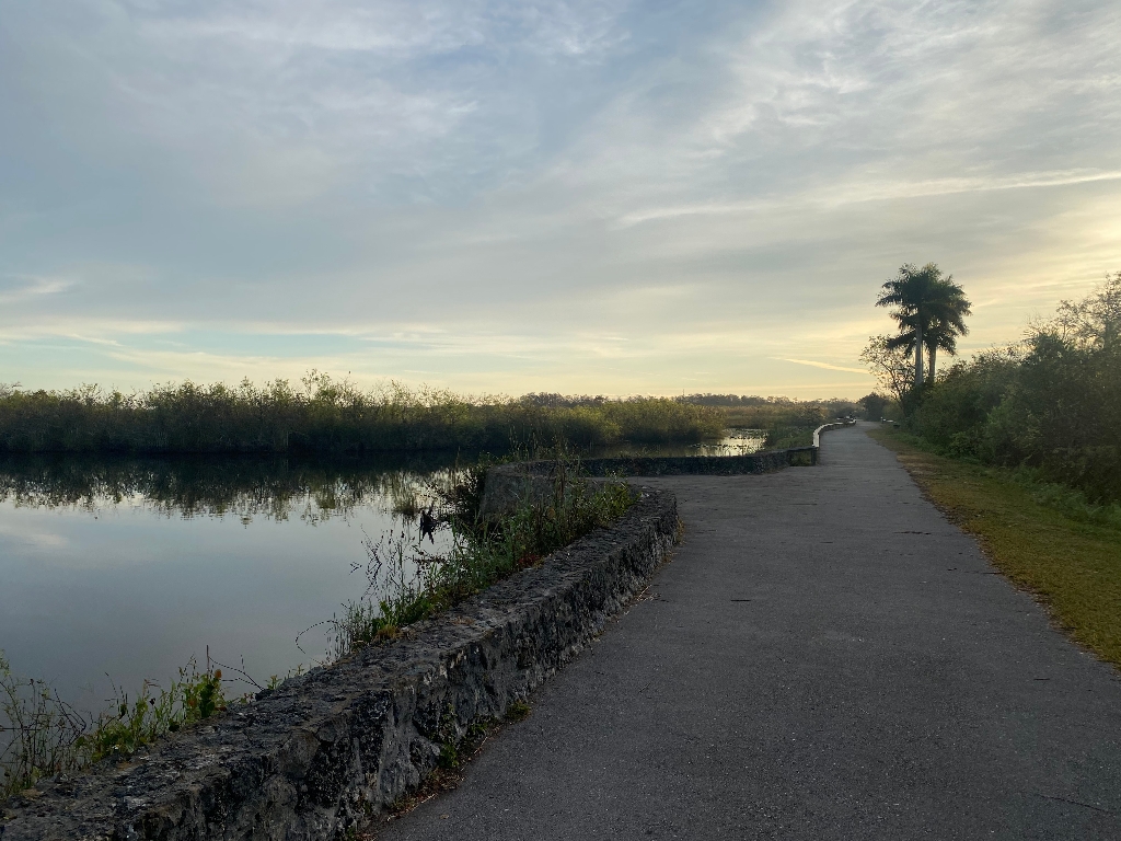
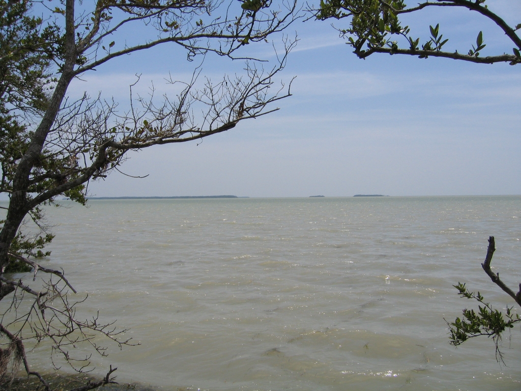
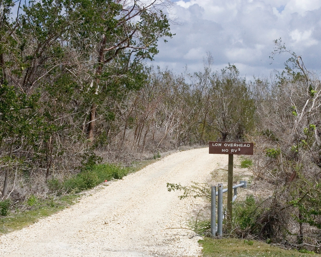
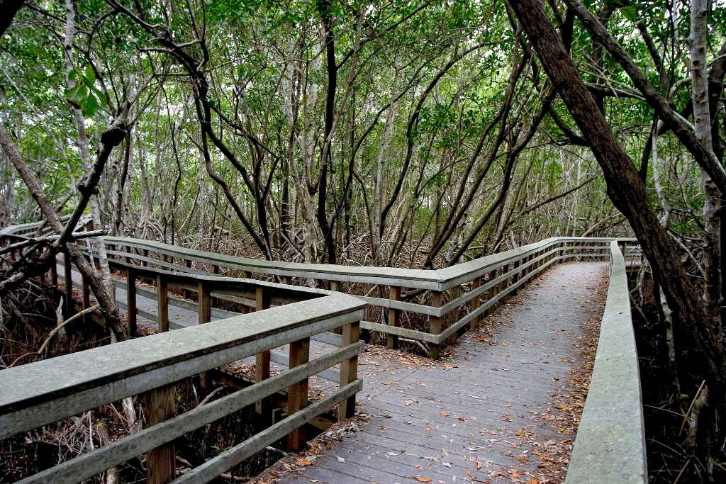
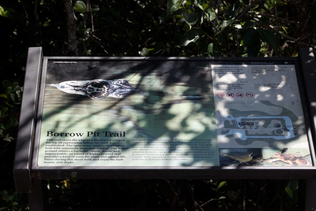
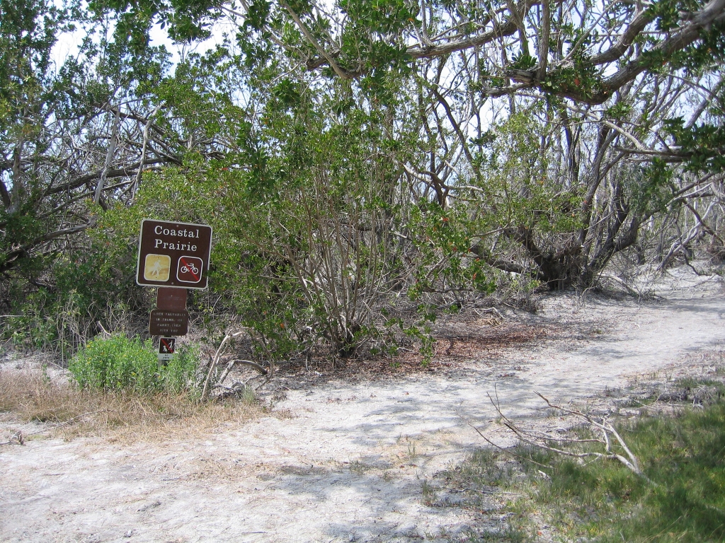
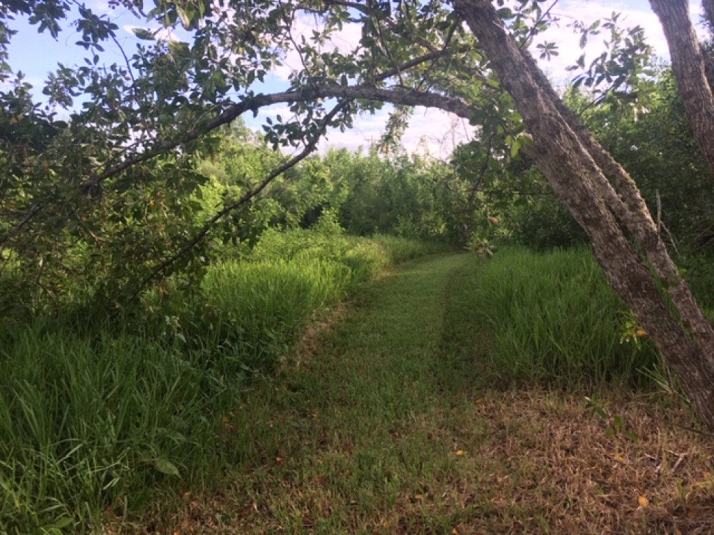
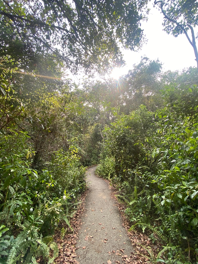
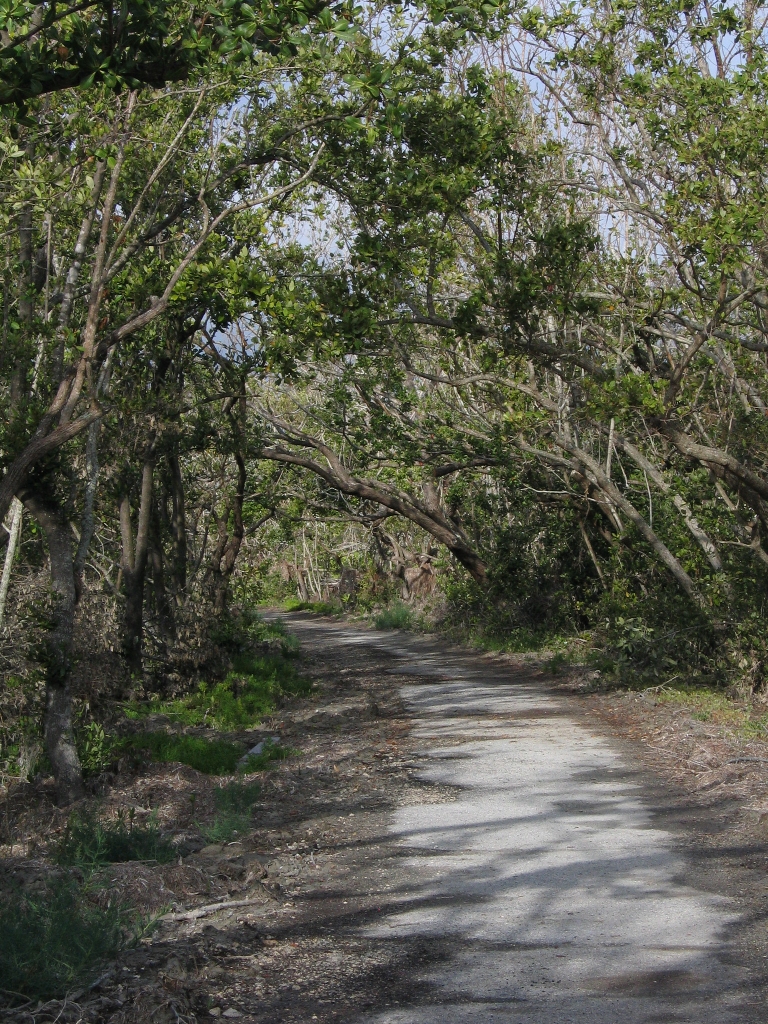
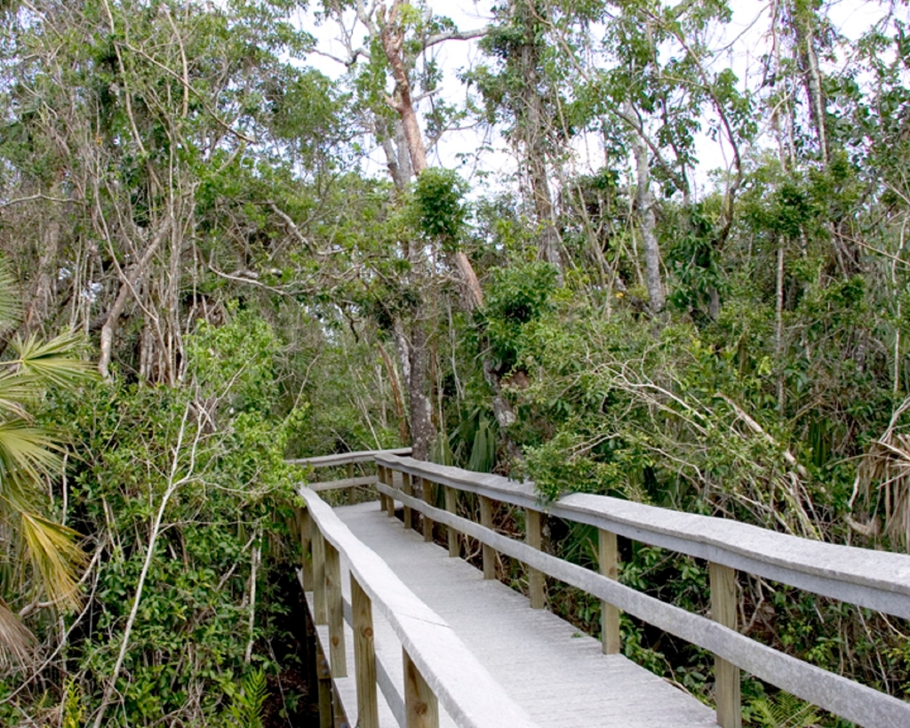
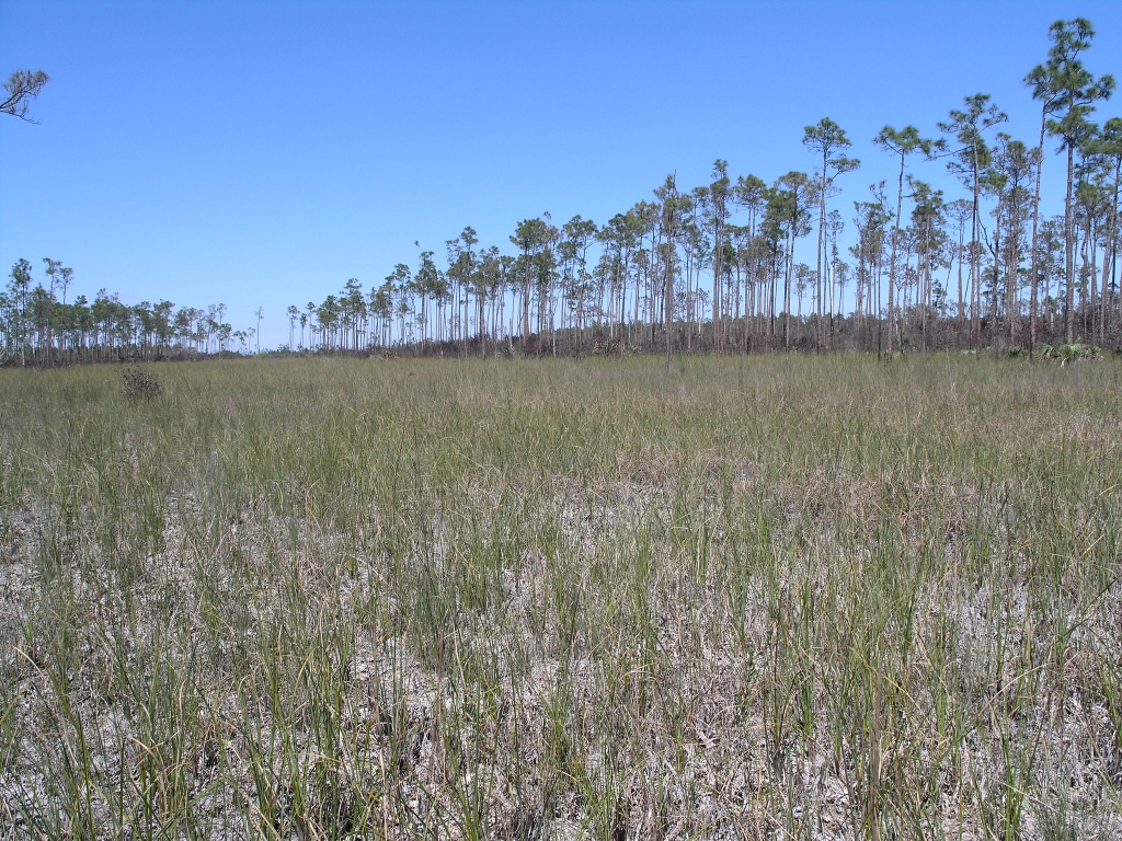
Trail traverses three ecosystems, not wheelchair accessible, under 0.8 miles.
This trail runs true to its name since you traverse through three distinct ecosystems in one trail. The three ecosystems are Pine Rockland, Hardwood Hammock and Sawgrass Prairie. It is not wheelchair accessible and it is less than 0.8 miles (1200meters)
Alligator Creek Campsite
Remote campsite along canal, abundant mosquitoes, crocodilians, 100 feet from shore.
Located on marl prairie, along a canal section of Alligator Creek, about 100 feet from Garfield Bight. Campers at this remote and rarely-visited site will likely be gloriously alone, except for the crocodilians who often sun themselves at the landing. Mosquitoes can be abundant all year round.
Anhinga Trail
Anhinga Trail paved boardwalk captures diverse wildlife, especially in winter.
The famous Anhinga Trail is a self-guiding pavement and boardwalk trail winding through and over sawgrass marsh and freshwater slough. A paved path leads you along the water and to a looping boardwalk, providing views into the prairie and the clear waters of the slough. You may see alligators, fish, turtles, anhingas, and many other birds, especially during the winter, when the generally lower waters of the dry season concentrate aquatic wildlife in the slough. This is one th
Bayshore Loop Trail
2-mile trail by Florida Bay, remnants of fishing village, post-hurricanes.
The trail is 2 miles (3.2 km) round trip. Meander along the shore of Florida Bay, watching for remnants of an outpost fishing village. Observe the effects of hurricanes Katrina and Wilma on the landscape. Begin at the Coastal Prairie Trailhead at the back of Loop "C" in the Flamingo Campground. Veer left at the trail junction to the bay. Not wheelchair accessible. Bicycles not allowed.
Bear Lake Trail
Bear Lake Trail: 1.6 miles, hardwood hammock, old canal. Walk.
Bear Lake Trail is 1.6 miles one way. Journey through a dense hardwood hammock mixed with mangroves. The trail follows the old Homestead Canal, built in 1922, and is an excellent area for woodland birds. There are more than 50 different tree species. Bike, drive, or walk to the end of Bear Lake Road to begin this trail.
Bobcat Boardwalk Trail
.2 mile accessible trail wind through willow head, wildlife viewing.
A short accessible .2 miles trail that winds through a willowhead. The boardwalk allows visitors to view the wildlife all around them. Open year round.
Borrow Pit Trail
Trail near borrow pit at Shark Valley Tower, ideal for wildlife watching.
Trail that borders the borrow pit at the Shark Valley Tower. Limestone was gathered or 'borrowed' to build local construction before the park. This is a great place to see alligators and other wildlife, open year round
Broad River Campsite
Ground campsite on riverbank near WW marker. Muddy after rain.
A ground campsite located on the south bank of the Broad River near WW marker #25. This site can get muddy after a heavy rain and mosquitoes can be prolific due to the dense mangroves nearby. Facilities are located on a small clearing of high ground surrounded by tall trees. This wide river eventually flows into Rodger’s River. It is reported that Joe Wiggins had a floating store on Broad River early in the century.
Camp Lonesome
Ground campsite on Calusa Indian mound with hardwood trees and river.
This ground campsite is located on an old Calusa Indian mound and shaded by tropical hardwood trees. The Seminole Indians had a hunting camp here when the Park was established in 1947. At least one Seminole claimed to have grown up at his family’s home at Camp Lonesome. This site is one of the few which extends inland into the sawgrass prairie. Paddlers may want to explore the Wood River (unmarked) just south of the site.
Christian Point Hiking Trail
1.8 mile trail through diverse habitats, ending at Snake Bight shore.
Christian Point is 1.8 miles one way. Wander a rustic path through a wide diversity of habitats. The trail begins in dense mangroves and buttonwoods full of bromeliads, or airplants. Next, investigate the unusual, salt–loving vegetation of open coastal prairie. Dead buttonwood snags interrupt these expanses that were shaped by hurricanes. Finally, you'll end–up along the shore of Snake Bight.
Clubhouse Beach
Beach campsite with mangroves and prairie, mosquitoes and sandflies present.
This campsite is a sand/marl beach, backed by mangroves and coastal prairie. Mosquitoes and sandflies may be a problem year round, especially if wind is out of the north.
Coastal Prairie Trail
7.5 miles one way, walk through historic road and prairies.
This trial is 7.5 miles one way. Step back in time as you walk this old road once used by cotton pickers and fishermen. Open prairies of succulent coastal plants dotted with shady buttonwoods surround you as you journey towards the shore of Florida Bay. Begin at the rear of Loop "C" in the campground. A backcountry permit is required for camping.
Coot Bay Pond
Pond leads to Coot Bay for paddling, wildlife viewing.
This small pond opens up to Coot Bay, and is great for paddling and wildlife viewing.
Crooked Creek Chickee
Double Chickee Campsite at marker #126. "No Wake" sign entrance. Dolphins heard at night. Sea turtles and mosquitoes visit. Sheltered.
Double Chickee Campsite. At marker #126, look for the “No Wake” sign – this marks the entrance to the passage where the chickee is located. Listen for dolphins at night. Curious sea turtles may surface from time to time. The chickee is sheltered from all but the strongest breezes. Mosquitoes may visit in the early morning and evening hours.
Darwin's Place
Homestead built by Arthur Darwin from shell and cement; artifacts.
This flat clearing was a homestead built from shell and cement by Arthur Darwin, who lived there from 1945 to 1971. He was the last private resident on Park lands. Artifacts from the site can still be seen and are protected. Tie your vessel securely. The island is also known as Opossum Key named because of the great number of opossums killed on the island. Before this, it was known as Chevelier Place, named after Jean Chevelier, a plume hunter who lived here. There is no dock
East Cape Campsite
Campsite on shelly beach with Gulf views, ruins, beautiful sunrises/sunsets.
This campsite is an open shelly sand beach stretching for several miles along the Gulf of Mexico. Expect expansive sea views as well as magnificent sunsets and sunrises. Ruins of a dock used by an old concession tour may be found here. In the 1830s, Fort Poinsett was located here. Its mission was to thwart suspected arms trading between Indians and Spanish fisherman. Mosquitoes and sandflies may be a problem year round.
East Clubhouse Beach
Beach campsite with mangroves, bugs, bay view, popular for trekkers.
This campsite is a sand/marl beach, backed by mangroves and buttonwoods. Mosquitoes and sandflies may be a problem year round, especially if wind is out of the north. The site affords a lovely view of northern Florida Bay. Many trekkers use this site as a final stopover in order to get an early return to Flamingo the next day.
Eco Pond
Eco Pond on road to Flamingo, ½ mile loop trail.
Located on the road to the Flamingo Campground, Eco Pond has a ½ mile loop trail. Wading birds, shorebirds and occasional crocodiles can often be seen at this location.
Everglades Homestead Entrance Station
Homestead Entrance Gate after Ernest Coe Visitor Center, 500 meters.
About 500 meters after you've passed the Ernest Coe Visitor Center along the Main Park Road, you will encounter the Homestead Entrance Gate. Fees apply to enter Everglades National Park.
Everglades Paddling Trail
New Everglades Paddling Trail approved in 2015, includes 30-mile route.
A new waterway along the west side of the park – the Everglades Paddling Trail – was approved in the 2015 General Management Plan. This 120-mile route provides additional wilderness and backcountry opportunities and includes several segments totaling about 30 miles that have boating use restrictions to enhance visitor enjoyment in the busy winter-spring seasons. You will need a wilderness camping permit (available at the Flamingo and Gulf Coast Visitor Centers) if you plan to
Everglades Wilderness Waterway
Everglades National Park navigation tips | Allow 8+ days paddling.
The wilderness of Everglades National Park is very different from other places you may have boated, paddled, or camped. It can be confusing and difficult to navigate as the mazes of mangrove–lined creeks and bays all begin to look the same. With proper planning, you can avoid the frustration and hours wasted from getting lost. The 99-mile Wilderness Waterway attracts interest because it connects Flamingo and Ev-erglades City. Most paddlers allow at least eight days to complet
Flamingo Fish Cleaning Station
Fish cleaning station near ramps and store, open 24/7.
The Flamingo Fish Cleaning Station is located adjacent to public boat ramps and the marina store, and is available 24-hours a day, year-round.
Flamingo Marina
Flamingo Marina open year-round, boats with electric/water hookups. Depth varies.
The Flamingo Marina, open year-round, can accommodate boats with electric and water hookups. Marina is currently open with access to power, 30A water pedestals, pump out, showers (available for $3), fuel, and fully stocked marina store (beer, water, sunscreen, bug spray, to-go food etc.) The channel will accept a four-foot maximum draft at HIGH-TIDE. At SLACK TIDE (0 tide) the channel is approximately two feet deep.
Gulf Coast Canoe/Kayak Launch
Non-motorized boat launch available 24/7 with no fee.
Non-motorized boat launch available 24 hours a day, every day. No fee charged for boat launch.
Gulf Coast Nature Trail
Everglades: temperate and tropical zones meet, ideal climate for plants. Walk: 1/4 mile.
The Everglades is an area where temperate and tropical zones meet, creating an ideal climate for plants to thrive. In the Gulf Coast district fresh and saltwater meet. Enjoy a short walk on the Gulf Coast Visitor Center grounds highlighting some of the native plants that exist in this place where worlds join. This is a 1/4 mile easy walk. To find the trail head look at the visitor center and go right across the lawn.
Gumbo Limbo Trail
Self-guided trail through hardwood hammock, spotting wildlife, 30 minutes.
The Gumbo-Limbo trail is a self-guided, paved trail meandering through a shaded, jungle-like hardwood hammock. In the hammock, hardwood trees such as oaks and gumbo limbos form a dense canopy overhead. Look for majestic royal palms, ferns, and air plants such as bromeliads. You may hear or see birds such as warblers, barred owls, or catbirds. Look closely and you may spot a liguus tree snail, the jewel of the hardwood hammock, on the bark of the trees. As the trail passes a p
Guy Bradley Trail
Interact with wildlife along Florida Bay trail, 1 mile long.
Mingle with a variety of birds and butterflies as you amble along the shore of Florida Bay. Old pier pilings are a reminder that Flamingo was once a small fishing village. The trail was named for Audubon warden Guy Bradley, who was killed in 1905 while trying to protect a bird rookery in Florida Bay. This trail is a scenic short-cut from the Visitor Center to the Flamingo Campground day-use area and is 1 mile (1.6 km) one way. Wheelchair accessible and bicycles are allowed.
Hells Bay Canoe Trail
Hell’s Bay to destinations: 3.0, 3.5, 5.5 miles. Old timers' saying.
Hell’s Bay is 3.0 miles to Lard Can Campsite, 3.5 miles to Pearl Bay Chickee, and 5.5 miles to Hells Bay Chickee. “Hell to get into and Hell to get out of,” or so the old timers claimed. This sheltered route weaves through mangrove creeks and ponds to a series of small bays beyond Lard Can. The trail is marked with more than 160 poles.
Hells Bay Chickee
Hells Bay campsite, difficult to reach, alligators present, avoid littering.
This campsite is so named because the bay was “hell to get to and hell to get out of!” This applies whether approaching from the Main Park Road via the twisty Hells Bay Canoe Trail, or from Whitewater Bay via the unmarked East River route. The chickee sits in the middle of the bay in front of a mangrove island. Alligators may be in the area. Do not allow food scraps to fall into the water near any chickee.
Highland Beach Campsite
Beach campsite between Highland Point and Rodger's River, bird watching.
A beach campsite located between Highland Point and the beaches north of the mouth of Rodger’s River. There are many large coconut palms growing along this narrow beach and it is a good location for bird watching. Make sure your camp is set up above the high tide line and secure food from racoons. The Rewis family lived at this site for about 27 years and spent most of it on the beach. Australian Pines, exotics to the area, can still be seen today.
Historic Nike Missile Site
Preserved Cold War relic open for visitors during winter months.
The historic Nike Missile Site is one of the best preserved relics of the Cold War in Florida, active from the years 1966-1979. Visitors may visit the site most days between early December and late March.
HM-69 Integrated Fire Control
Daniel Beard Research Center used to be an Integrated Fire Control.
The Daniel Beard Research Center, where National Park scientists are based today, was originally called Integrated Fire Control and built as the headquarters of the Nike missile base. It housed soldiers and officers, included a mess hall and recreational facilities, and had offices for all “up range” purposes. The Battery Commander would work from this building, and if the decision was made to fire the missiles, the launch buttons would have been pressed here
HM-69 Missile Assembly Building
Maintenance crucial for missiles. Soldiers kept ready, tested, and aimed.
Maintenance was critical to keep missiles and warheads ready. This battery was in “hot status” rotation with the other three batteries of the 2nd Battalion in south Florida, with one always ready to aim their missiles at a moment’s notice. When a dignitary was in town, such as the US President, all four Batteries were on hot status. Soldiers had to constantly test and maintain equipment.
HM-69 Missile Barn C
Section Barn C holds missiles, launch pads, two soldiers, elevators.
Section Barn C, one of the three barns that held the missiles and protected them when they were not deployed to be tested or fired. The large paved area between the road and the barn had three launch pads with rails between so two soldiers could roll out the five ton missiles to their positions. At Nike bases elsewhere in the country, the missiles would be housed below the launch pads and elevators brought the missiles up; here the water table is too close to the surface to h
HM-69 Mosquito Painting
Soldier life in wildlife-infested, humid sub-tropical base conditions. Summarize using 10 words or less.
The sub-tropical wilderness surrounding the base made wildlife a daily part of the conditions soldiers lived with. Just like today, the area had snakes, alligators, and insects to deal with. The blotches on the pavement here are old paint, once a painting of a mosquito. Soldiers claimed it was life sized at about a foot long by a foot wide (30 cm on each side). Heat and humidity, heavy rains, and the threat of hurricanes made maintaining and readying equipment more difficult.
HM-69 Security Down Range
High security area, replica sign inside Missile Barn C, walking time.
The down-range section of the base, an extremely high security area. Even authorized soldiers known to military police guarding the site would be held at gunpoint if they were found in a part of the site they were not expected in. This sign is a replica of one originally placed outside the fence you just came through, and it is an example of the kind of security expected here. The original sign is on display inside Missile Barn C, stop #6 on this tour.
HM-69 Sentry Dog Kennels
Military base with trained attack dogs, patrolling fence line nightly.
Each Nike base had an average of four sentry dogs, each with a military police officer as their handler. The dogs were trained to only listen to their one handler, and to attack all other people. There are stories of soldiers running for cover if a dog got loose, until their handler got them back under control. These dogs and their armed handlers patrolled the fence line every night, no matter the weather.
Jewell Key Campsite
Beach site on small key, camping area near outhouse.
This beach site is located on a small key in the Ten Thousand Islands. The camping area is located on a sandy spit on the back side of the island, near the outhouse. Camping on the Gulf side is not possible.
Joe River Chickee
Chickee campsite on Joe River, east bank, cove, dolphin sounds.
This double chickee campsite is located on an alternate route from the Wilderness Waterway on the east bank of the mouth of Joe River. The chickee sits in a small but beautiful cove. At night, listen for dolphins who puff their way past your home to fish in the creek behind the chickee. Tall trees block all but southwesterly breezes, so be prepared for tiny winged visitors.
Lard Can Campsite
Ground campsite with buttonwoods, mangroves, muddy soil, high mosquito level.
This ground campsite is located on a small patch of slightly elevated ground. It is shaded by buttonwoods and surrounded by mangroves. Soil compaction at the site makes it very muddy after a rainstorm. The thick vegetation and shade can lead to high mosquito levels, especially in summer.
Long Pine Key Trail
Connect Pinelands trails; walk 7 miles west, consult trail map.
Connecting trails through the Pinelands run 7 miles (11 km) west from the Long Pine Key campground to Pine Glades Lake along the main park road. It is advisable to look at trail map to understand the network of trails.
Lopez River Campsite
Campsite near Everglades City between markers #126 and #127.
Closest campsite on the Wilderness Waterway to Everglades City, located between marker #126 and #127 on the southern bank of the Lopez River. This campsite is easily located by spotting the cement cistern which marks the old Lopez homestead built at the turn of the century.
Lostman's Five Campsite
Elevated campsite with palm trees, flooding risk, large dock, fishing.
A ground campsite located on a clearing of higher ground with a few palm trees that provide shade. This site was once an inholding. Soil compaction at this site can cause flooding during rainy weather. The dock is larger than most and can accommodate several vessels. This is a popular site for fishing groups with powerboats.
Mahogany Hammock
Wheelchair accessible trail through lush vegetation, 0.5 miles roundtrip.
This self-guiding boardwalk trail meanders through a dense, jungle-like hardwood "hammock." Lush vegetation includes gumbo-limbo trees, air plants, and the largest living mahogany tree (Swietenia mahogani) in the United States. The trail is 0.5 miles (800 meters) roundtrip and is wheelchair accessible.
Middle Cape Campsite
Popular beach campsite for fishermen, long shelly beach. Little shade.
This beach campsite, popular with fishermen, is a long, shelly sand beach on the Gulf of Mexico. There is little shade, and it is exposed to wind in all directions. Campers will find spectacular sunrises and sunsets and unparalleled views of the Gulf or Mexico. Raccoons are in the area; store food and water appropriately.
Mormon Key
Beach campsite near rivers, fish, set up above tide line.
Beach campsite. There is good fishing in the area located near the mouth of the Huston and Chatham Rivers. Make sure your camp is set up above the high tide line. Make sure vessels are tied, beached, or anchored securely.

Is there something we missed for this itinerary?

Let us know!

Itineraries across USA