Maine
1 - 5 days
3 day
itinerary in
Acadia
Acadia Earthcache Course Stop Five: Champlain Mountain
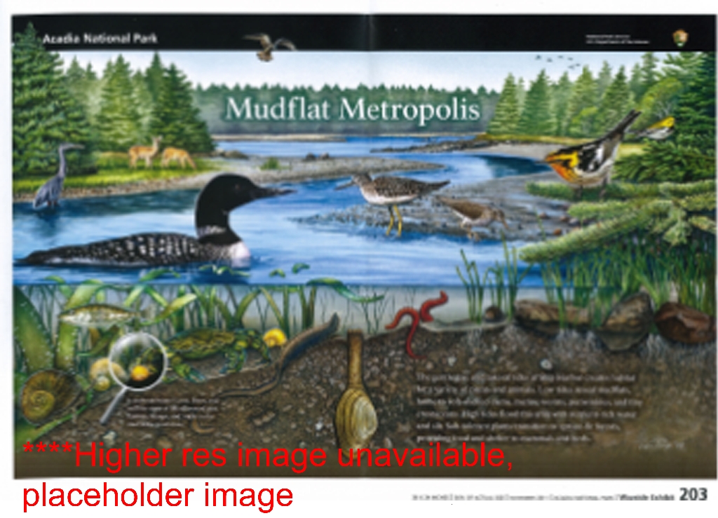
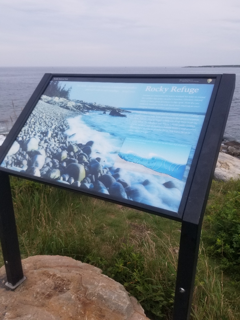
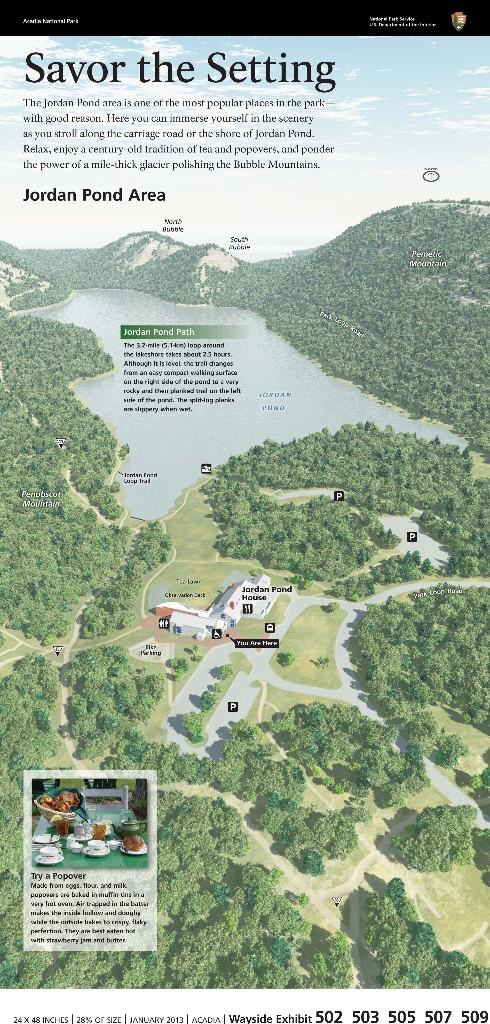
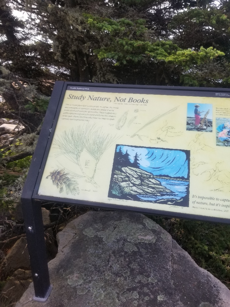
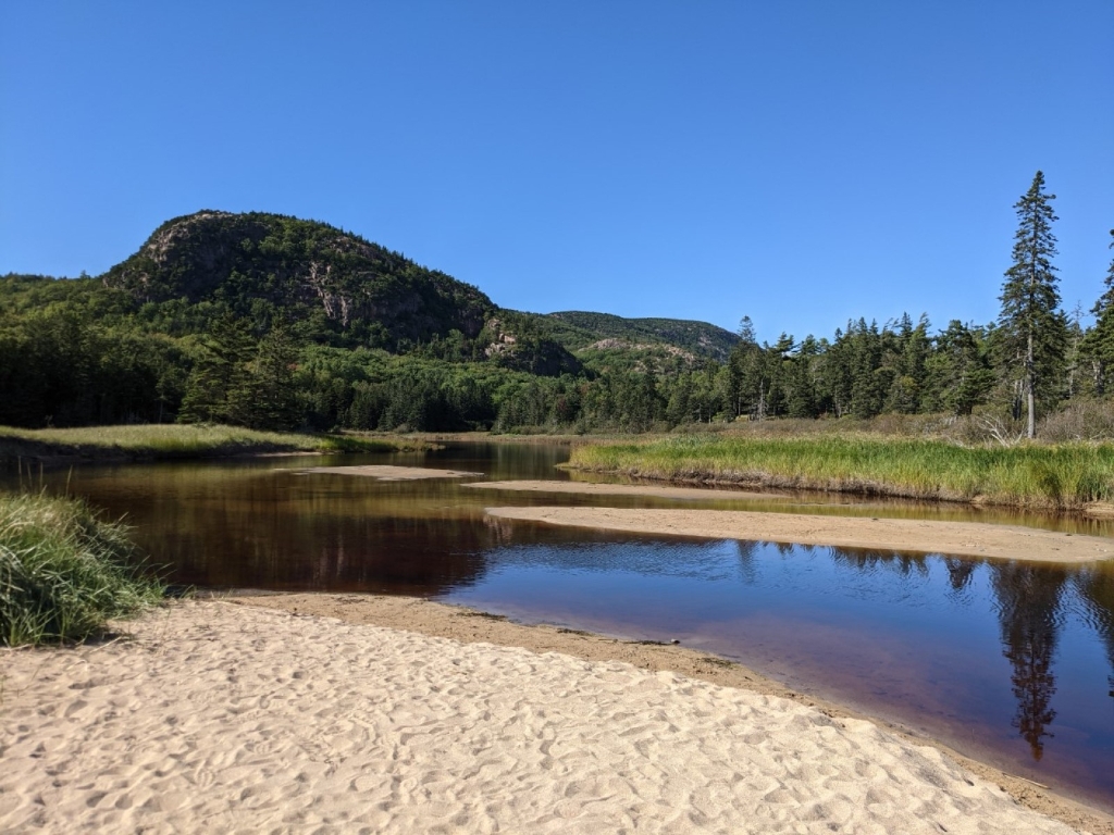
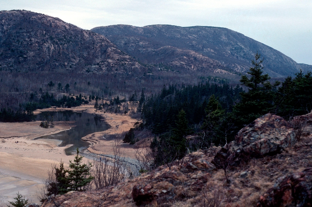
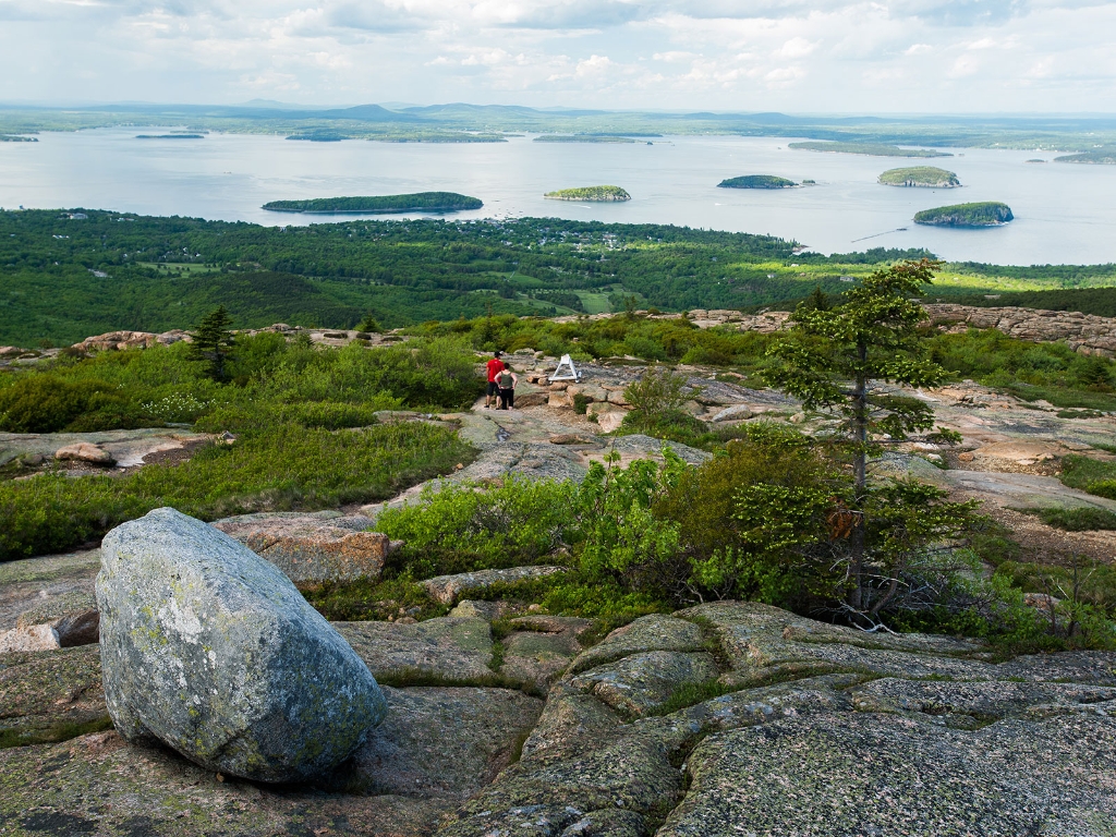
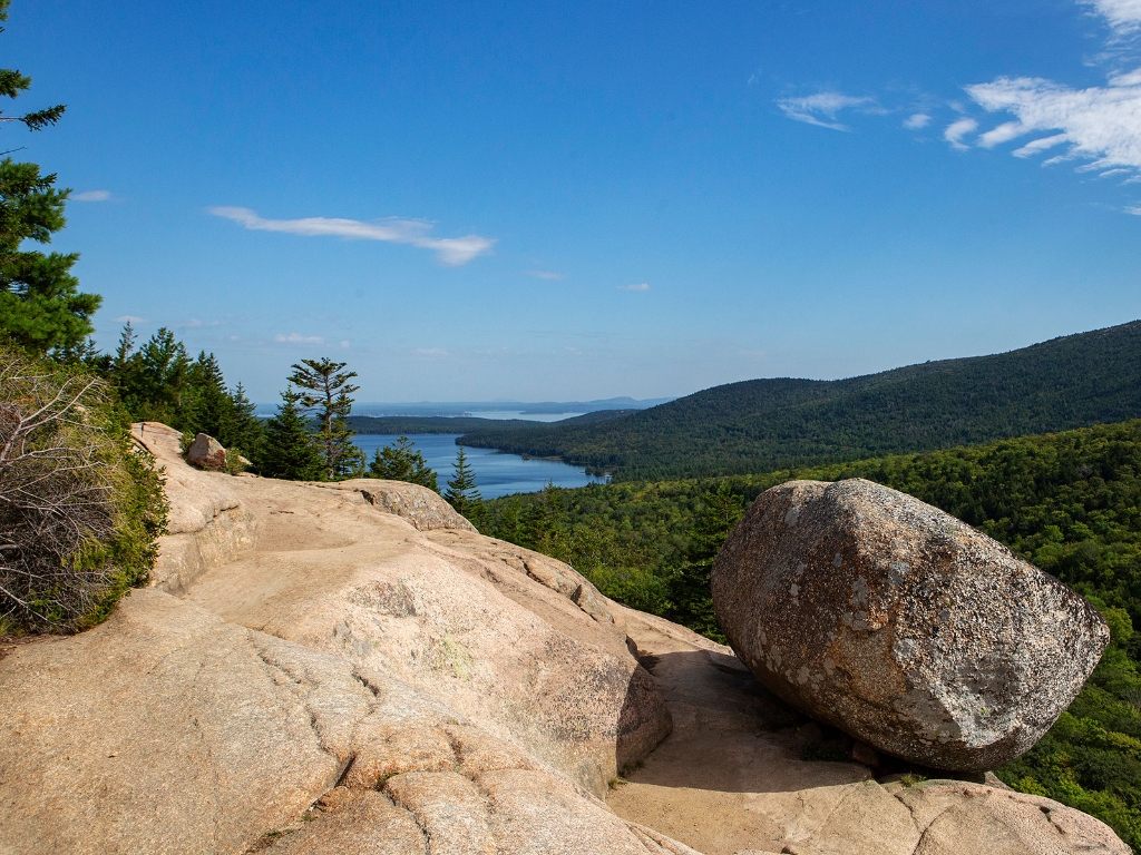
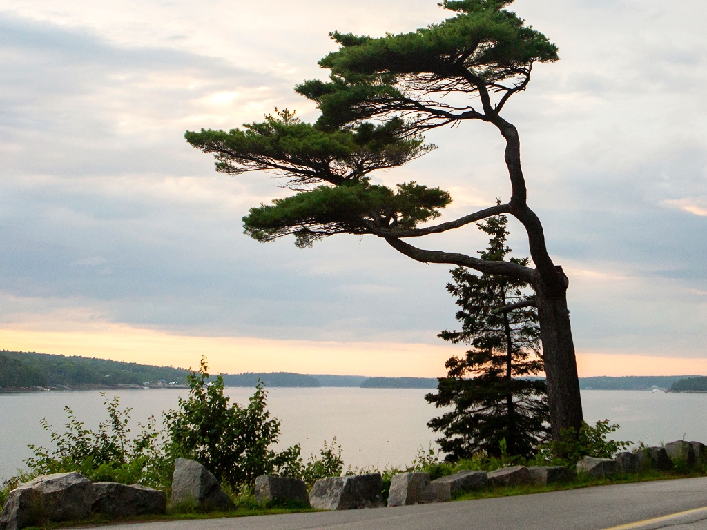
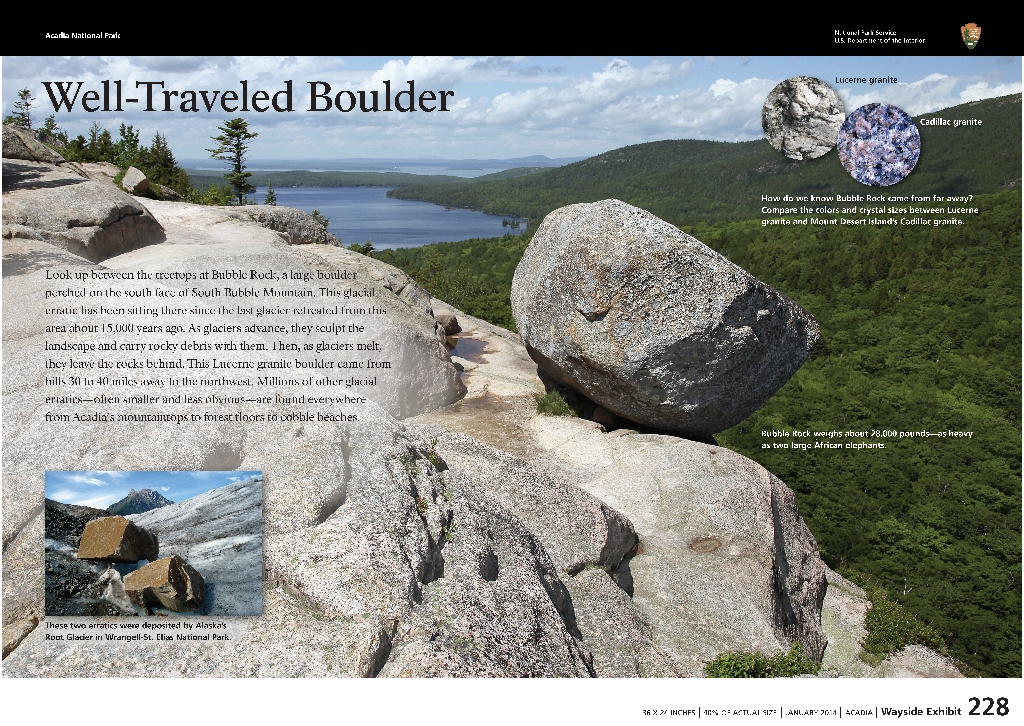
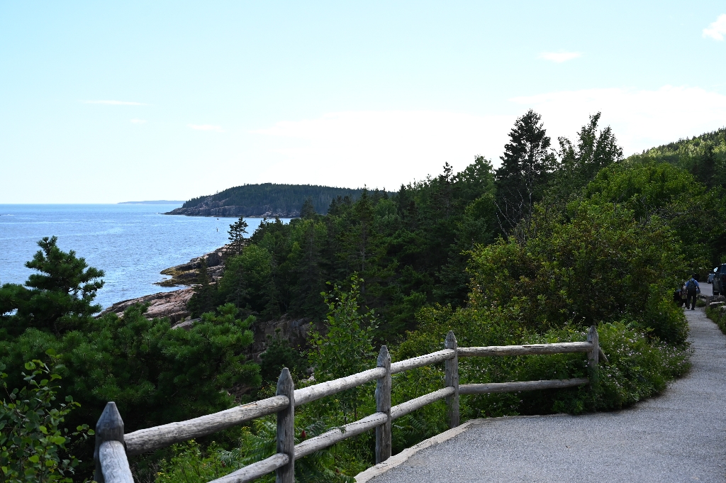
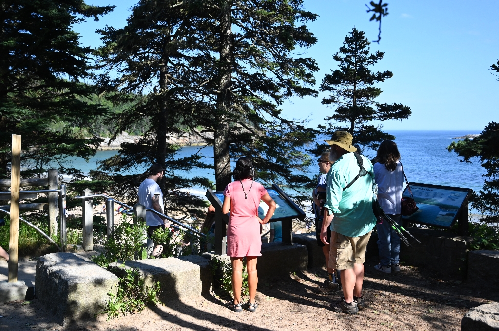
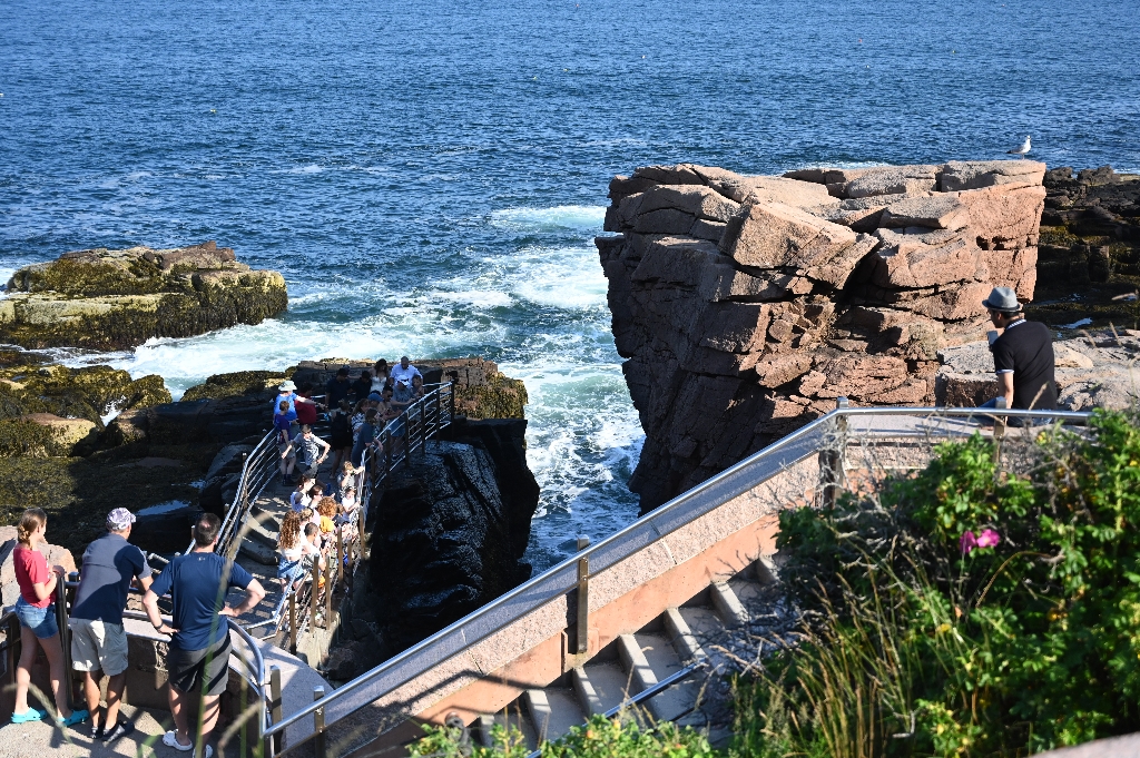
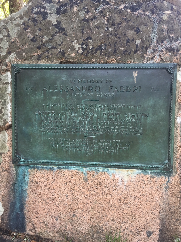
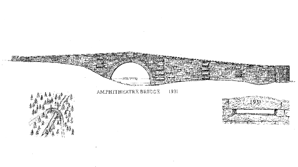
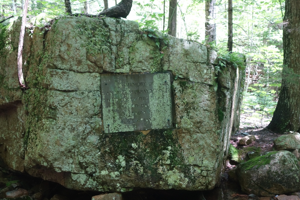
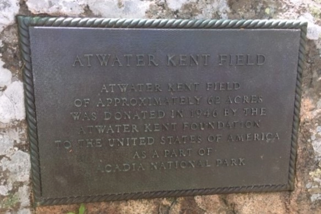
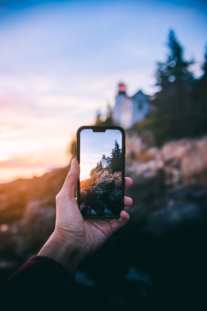
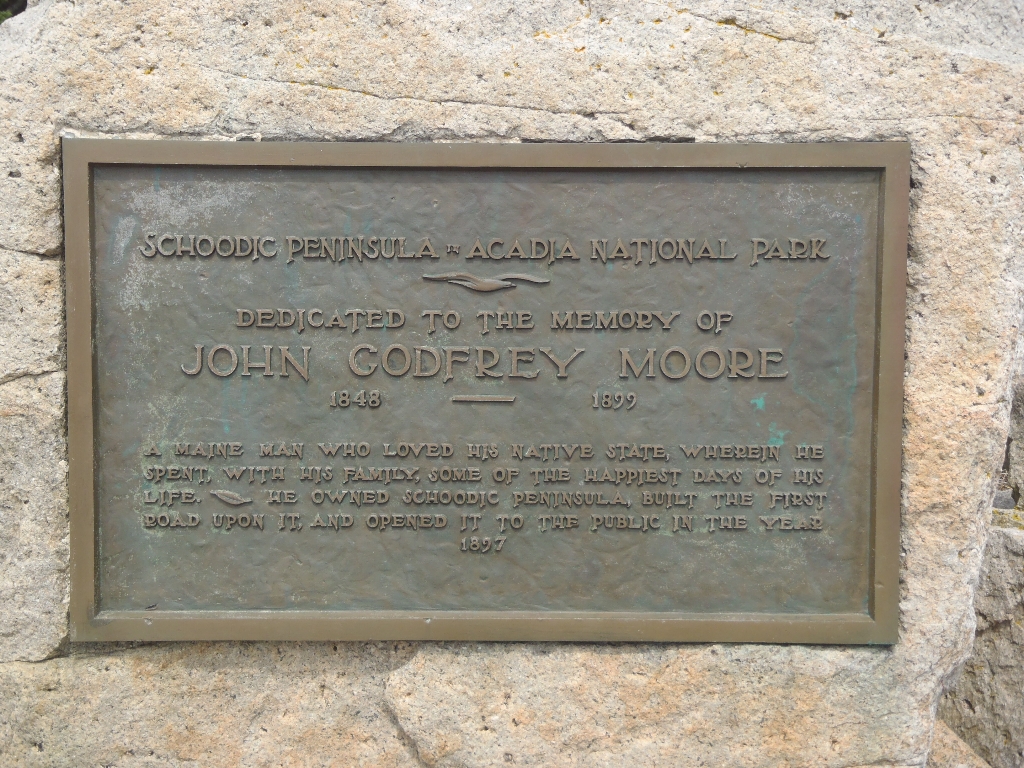
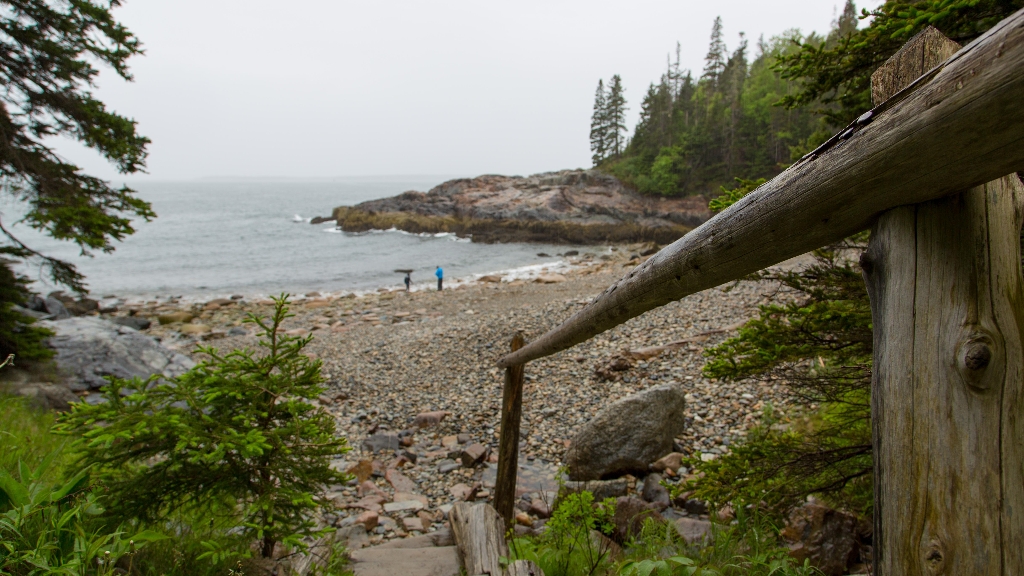
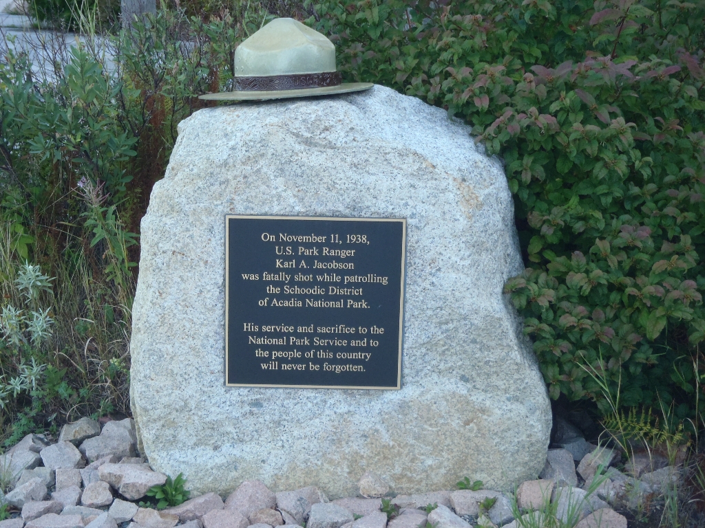
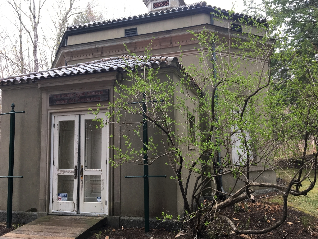
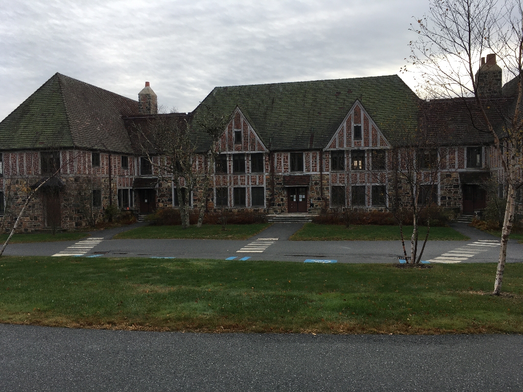
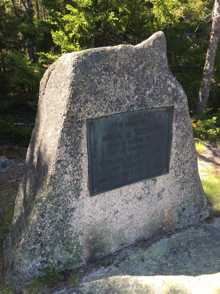
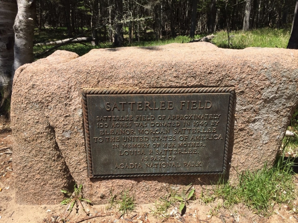
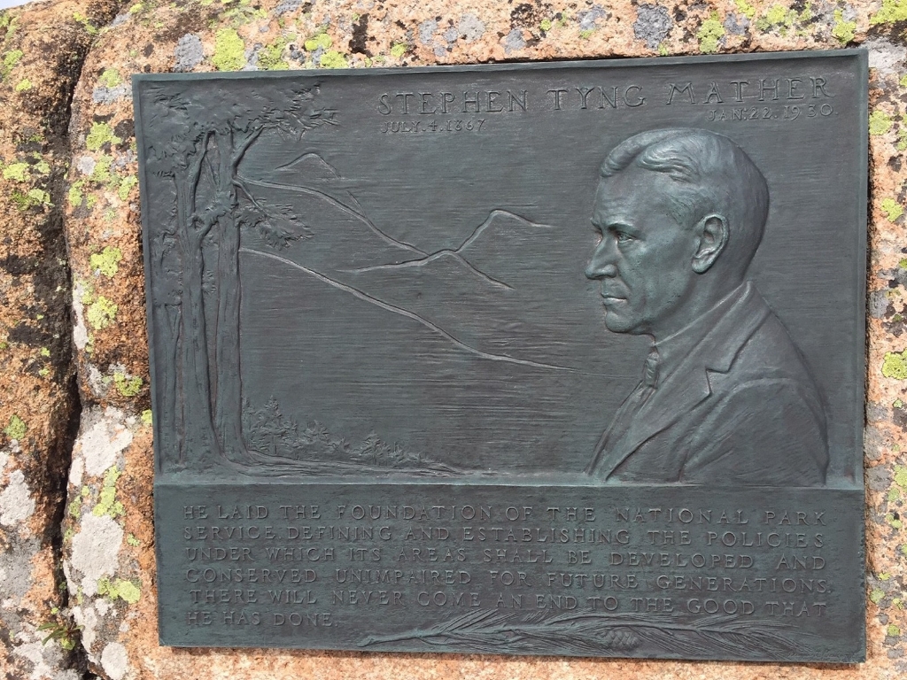
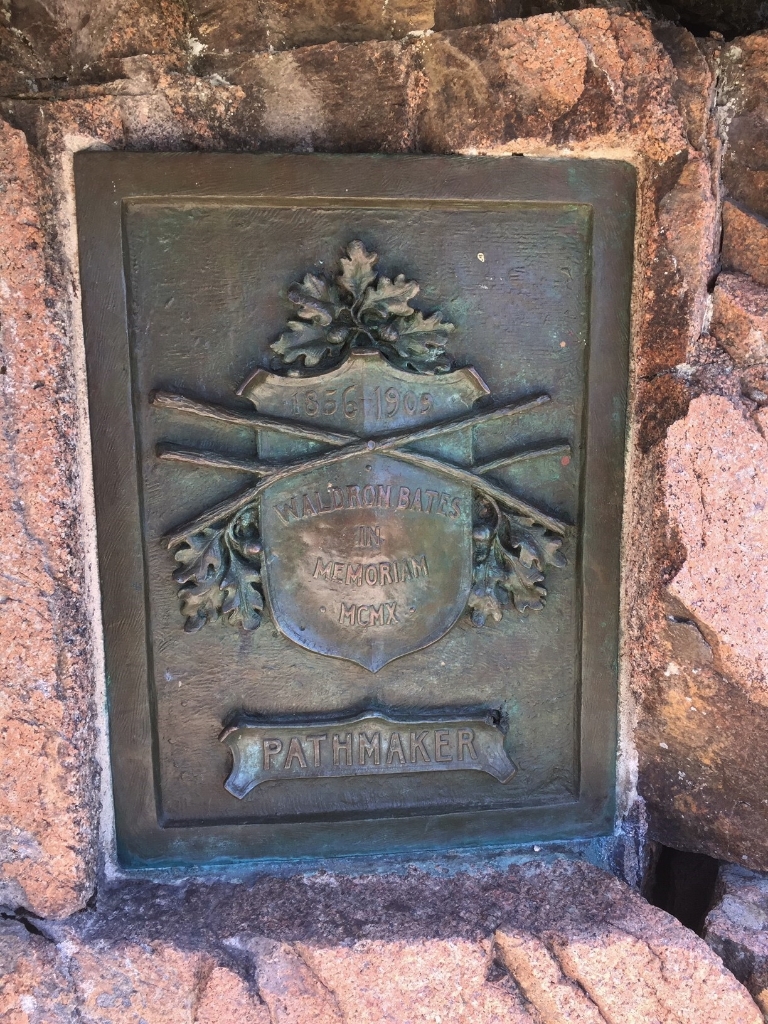
Acadia Geocache stop five.
Stop five on the Acadia Geocache course.
Acadia Earthcache Course Stop Four: Gorham Mountain Trail
Acadia NP Geocache stop 4.
The fourth stop on Acadia National Park's Geocache course.
Acadia Earthcache Course Stop Three: Jellybean Glacial Erratic
Third stop on Acadia's Geocache Course.
The third stop of Acadia National Park's Geocache Course.
Acadia Earthcache Course Stop Two: Bubble Rock
Stop Two. Walk time: not specified.
Stop Two on the Acadia Geocache Tour.
Acadia Earthcache Course: Stop One - Somes Sound
Acadia's Geoacache course first stop.
The first stop along Acadia's Geoacache course.
Acadia Mountain Trailhead
Trailhead for Acadia Mountain, Maine Route 102, 3 miles.
This is the trailhead for Acadia Mountain, a 681 ft mountain located on the west side of Mount Desert Island. The trailhead is on Maine Route 102, about 3 miles south of Somesville and just after Ikes Point Boat Launch.
Acadia Trails Memorial Plaque
Memorial plaque for Ruth and Tris Colket.
This memorial plaque is dedicated to Ruth and Tris Colket. Both were philanthropists who saw the need for an endowed trail system and made a gift of $5 million to Friends of Acadia for restoration and maintenance of Acadia’s historic trail system.
Access Wayside: "Hot Line" to Europe
Image and audio description for "Hot Line to Europe" wayside.
An image and audio description are provided for "Hot Line to Europe," an interpretive wayside at Acadia National Park.
Access Wayside: Beach and Beyond
Description provided for interpretive wayside "Beach and Beyond."
An image and audio description are provided for "Beach and Beyond," an interpretive wayside.
Access Wayside: Cobbling the Cove
Interpretive wayside at Acadia NP with image and audio.
An image and audio description are provided for "Cobbling the Cove," an interpretive wayside at Acadia National Park.
Access Wayside: Experience Acadia (Cadillac)
Inclusive park descriptions featuring accessible walking times.
Access Acadia: Inclusive Descriptions of Park Destinations.
Access Wayside: Experience Acadia (Sand Beach)
Accessible wayside at Sand Beach with "Explore Acadia" resources.
Accessible Wayside "Explore Acadia" at Sand Beach.
Access Wayside: Experience Acadia (SDM)
Accessible date for interpretive wayside: Explore Acadia; walking time required.
Accessible date for interpretive wayside titled Explore Acadia.
Access Wayside: Explore the Roads Ahead
Interpretive wayside "Explore the Roads Ahead" at Acadia National Park.
An image and audio description are provided for "Explore the Roads Ahead," an interpretive wayside at Acadia National Park.
Access Wayside: Hidden Highway into Acadia
Description: audio and image for "Hidden Highways" wayside in Acadia.
An image and audio description are provided for "Hidden Highways into Acadia," an interpretive wayside at Acadia National Park.
Access Wayside: Icy Depths (MDI)
Image and audio description for "Icy Depths" wayside in Acadia.
An image and audio description are provided for "Icy Depths," an interpretive wayside at Acadia National Park.
Access Wayside: Mountaintop Retreat
Image and audio for Mountaintop Retreat interpretive wayside at Acadia.
An image and audio description are provided for "Mountaintop Retreat," an interpretive wayside at Acadia National Park.
Access Wayside: Once a Busy Waterfront
Image and audio description for "Once a Busy Waterfront."
An image and audio description are provided for "Once a Busy Waterfront," an interpretive wayside at Acadia National Park.
Access Wayside: Pristine Waters
Media for "Pristine Waters" wayside, Acadia National Park: image, audio.
An image and audio description are provided for "Pristine Waters," an interpretive wayside at Acadia National Park.
Access Wayside: Roads to Discoveries
"Interpretive wayside at Acadia National Park, image and audio."
An image and audio description are provided for "Roads to Discoveries," an interpretive wayside at Acadia National Park.
Access Wayside: Seawater Bay
"Wayside Seawater Bay" audio and image description, Acadia National Park.
An image and audio description are provided for "Seawater Bay," an interpretive wayside at Acadia National Park.
Access Wayside: Secrets of the Sand
Audio description of "Secrets of the Sand" at Acadia Park.
An image and audio description are provided for "Secrets of the Sand," an interpretive wayside at Acadia National Park.
Access Wayside: Sounds of the Sea
Image and audio description for "Unusual Pocket Beach" at Acadia.
An image and audio description are provided for "Unusual Pocket Beach," an interpretive wayside at Acadia National Park.
Access Wayside: Unusual Pocket Beach
Image and audio description for unusual pocket beach at park.
An image and audio description are provided for "Unusual Pocket Beach," an interpretive wayside at Acadia National Park.
Access Wayside: Well-Traveled Boulder
Description provided for "A Well-Traveled Boulder" at Acadia National Park.
An image and audio description are provided for "A Well-Traveled Boulder," an interpretive wayside at Acadia National Park.
Access Wayside: What Do Park Rangers Do?
Audio and image description of park ranger interpretive wayside provided.
An image and audio description are provided for "What do Park Rangers do," an interpretive wayside at Acadia National Park.
Access: Fabbri Picnic Area and Memorial
Fabbri Picnic Area features accessibility information, amenities, and orientation.
A description of Fabbri Picnic Area and Memorial including accessibility information, amenities, and general orientation.
Access: Hulls Cove Visitor Center
Hulls Cove Visitor Center, 52 steps, accessible entrance available needed.
The Hulls Cove Visitor Center is Acadia’s main visitor contact station and transportation hub from May into October. The building sits atop a hill above a large parking lot. Visitors must climb 52 steps to reach the main entrance. There is a separate accessible entrance behind the facility. To get there, drive straight at a four-way intersection off Route 3 rather than turn into the main parking lot. This entrance has an automatic door and an elevator to the main floor.
Access: Ocean Path
Ocean Path description, accessibility info, and general orientation provided.
A description of Ocean Path including accessibility information, and general orientation.
Access: Sand Beach
Sand Beach description and accessibility information with amenities and orientation.
A description of Sand Beach including accessibility information, amenities, and general orientation.
Access: Thunder Hole
Thunder Hole description, accessibility, amenities, and orientation. Walking time included.
A description of Thunder Hole including accessibility information, amenities, and general orientation.
Alessandro Fabbri Plaque
Alessandro Fabbri remembered for Otter Cliffs Radio Station, 1917.
Alessandro Fabbri is most remembered at Acadia for establishing the Otter Cliffs Radio Station in 1917.
Amphitheatre Bridge
Amphitheatre Bridge is largest, built along carriage road (1917-40).
Amphitheatre Bridge (1931) is the largest of 17 bridges constructed along 57 miles of carriage road on Mount Desert Island between 1917 and 1940. It carries Amphitheatre Road (Asticou-Jordan Pond Road) -- which itself had been abandoned for ten years due to the objections of summer residents -- near the Little Harbor Brook waterfall.
Andrew Murray Young Memorial Plaque
Young: part of Bar Harbor's Roads and Paths Committee.
Andrew Murray Young was a member of the Bar Harbor Village Improvement Association’s Roads and Paths Committee.
Atwater Kent Memorial Plaque
Dedicated memorial plaque for Atwater Kent at Bliss Field.
This memorial plaque is dedicated to Atwater Kent who donated 62 acres known as Bliss Field off Schooner Head Road to Acadia. It is now designated as Atwater Kent Field.
Bass Harbor Head Light Station
Light station in Tremont, Maine marks harbor entrance on island.
The Bass Harbor Head Light Station is located in Tremont, Maine, marking the entrance to Bass Harbor and Blue Hill Bay on the southwest corner of Mount Desert Island.
Beech Mountain
Beech Mountain is 839 feet high with a nearby fire tower.
Located between Long Pond and Echo Lake, Beech Mountain rises to an elevation of 839 feet with a fire tower located near the summit that was used as a lookout from 1941 to the mid-1950s.
Blue Duck Ships Store
Blue Duck Ships store built in 1850s, now used for boat-building.
The Blue Duck Ships store was first constructed as a store to sell essential supplies to the residents of Islesford, Little Cranberry Island, Maine in the 1850s. It also served the 'maritime highway' of trade. Today, the store is used by Islesford Boatworks, a non-profit that continues the tradition of boat building by teaching boat building skills to Island youth.
Brown Mountain Gatehouse
Gatehouses at Acadia NP, not gatekeepers, mark carriage road entrance.
Brown Mountain Gatehouse, and its counterpart, Jordan Pond Gatehouse, were built to mark the entrance to Acadia historic carriage road network. Though never put into practice as true 'gatekeepers' to the carriage roads, these architectural marvels are a beautiful and whimsically quaint introduction to the near-fantasy of the carriage roads.
Bubble Pond Bridge
Bubble Pond Bridge built in 1928 as part of carriage road. Walking time: N/A
Bubble Pond Bridge (1928) was the tenth of 17 bridges constructed along 57 miles of carriage road on Mount Desert Island between 1917 and 1940. It carries the Bubble Pond Road over a portion of the Jordan Pond/Eagle Lake motor road that was abandoned when that road was realigned in 1962-1964. This bridge is now a relic with no function. Access to a parking lot along the shore of Bubble Pond remains.
Cadillac Mountain
Cadillac Mountain at Acadia: highest point on eastern seaboard. Summertime reservations.
Cadillac Mountain is a popular destination for visitors to Acadia National Park. Accessible by car, it is the highest point on the eastern seaboard of the U.S., and offers magnificent views of a glaciated coastal and island landscape. The short, paved Cadillac Summit Loop Trail, interpretive waysides, restrooms, and gift shop are located at the summit. In the summer, reservations are required to drive to the summit.
Carroll Homestead
Carroll Farm showcases 19th-20th century farm life on Mount Desert Island.
The Carroll Farm represents changing farm life during the 19th and early 20th century on Mount Desert Island. The house was built by John and Rachel Carroll in 1820 and remained in the family until its purchase by the Maine Coast Heritage Trust and later by the park.
Charles W. Eliot Memorial Plaque
Charles Eliot founder Hancock County Trustees, inspired by son's death.
Charles William Eliot was a founder of the Hancock County Trustees of Public Reservations and his preservation efforts were largely inspired by the death of his son, who founded the Champlain Society.
Chasm Brook Bridge
Chasm Brook Bridge built in 1926, seventh of 17 bridges.
Chasm Brook Bridge (1926) was the seventh of 17 bridges constructed along 57 miles of carriage road on Mount Desert Island between 1917 and 1940. It carries Jordan-Sargent Mountain Road over Chasm Falls. It was the last of four bridges required along the Jordan-Sargent Mountain Road.
Civilian Conservation Corps Memorial Plaque
CCC improved parks with construction, forestry, cleanup, and revegetation.
The Civilian Conservation Corps (CCC) helped improve park areas including construction, forestry work, roadside cleanup and revegetation.
Cliffside Bridge
Cliffside Bridge built 1932 on carriage road over ravine. Walking time: N/A.
Cliffside Bridge (1932) is one of 17 bridges constructed along 57 miles of carriage road on Mount Desert Island between 1917 and 1940. It carries Amphitheater Road (Asticou-Jordan Pond Road) over a ravine on the flank of Jordan Mountain along a road between Amphitheater and West Branch bridges.
Cobble Beach
Unprotected beach hit by waves all day, only cobbles remain.
This beach is not protected by any landforms and gets hammered with waves all day. Only the cobbles remain because their larger size makes them resistant to these strong waves.
Cobblestone Bridge
Cobblestone Bridge outside park on private land, built 1917.
Located on private land outside park boundaries on the Gardiner-Mitchell Hill-Jordan Stream Road, Cobblestone Bridge (1917) was the first of 17 bridges constructed along 57 miles of carriage road on Mount Desert Island between 1917 and 1940.
Deer Brook Bridge
Deer Brook Bridge built in 1925 on Jordon Pond road.
Deer Brook Bridge (1925) was the sixth of 17 bridges constructed along 57 miles of carriage road on Mount Desert Island between 1917 and 1940. The bridge carries the Jordan-Sargent Mountain Road over Deer Brook at a waterfall near the north end of Jordon Pond.
Duck Brook Bridge
Duck Brook Bridge built in 1929 for Rockefeller's carriage road.
Duck Brook Bridge (1929) was the 11th of 17 bridges constructed along 57 miles of carriage road on Mount Desert Island between 1917 and 1940. It carries the Witch Hole Pond Loop portion of the Hulls Cove Road over Duck Brook to connect with New Eagle Lake motor road. John D. Rockefeller, Jr. considered this area the “grand northern terminus” of his carriage road system and planned magnificent vistas of Frenchman Bay from this road and the adjacent Paradise Hill Loop Road.
Eagle Lake Bridge
Eagle Lake Bridge; Route 233 over Hulls Cove carriage road.
Eagle Lake Bridge (1927) was the ninth of 17 bridges constructed along 57 miles of carriage road on Mount Desert Island between 1917 and 1940. It carries Route 233 over the Hulls Cove carriage road. Its completion made possible the construction of new carriage roads on lands north of Eagle Lake, where John D. Rockefeller, Jr. planned magnificent views of Frenchman Bay.
Echo Lake
Echo Lake: swim, boat, kayak, fish, wildlife viewing.
Echo Lake is a Great Pond located on the west side of Mount Desert Island. Visitors can swim, boat, kayak, fish, and view wildlife.
Edward Lothrop Rand Memorial
Plaque honoring Acadia National Park botanist, map maker, trail builder.
A plaque dedicated to early Acadia National Park botanist, map maker and trail builder, Edward Lothrop Rand.
Entrance Station on Acadia's Park Loop Road
Entrance station at Schooner Head Road intersection, open year-round.Offers full-service sales and information.
Located near the intersection of Schooner Head Road, the entrance station along Acadia's Park Loop Road is open year-round and offers full-service sales and information about park entrance fees, the Acadia Annual Pass, and all federal recreational lands passes. Staff can provide basic information, the Unigrid brochure and other park publications. Nearby destinations include several trailheads, Sand Beach, Thunder Hole, Otter Cliff and the Fabbi Picnic Area.
George B. Dorr Plaque
George B. Dorr dedicated life and fortune to Acadia preservation.
George B. Dorr devoted most of his adult life and fortune to securing and protecting the lands that would later become the park. He was Acadia National Park’s first superintendent.
Hadlock Brook Bridge
Hadlock Brook Bridge (1926), eighth of 17 bridges - Mount Desert Island.
Hadlock Brook Bridge (1926) was the eighth of 17 bridges constructed along 57 miles of carriage road on Mount Desert Island between 1917 and 1940.
Hemlock Bridge
Hemlock Bridge, 1924, 4th of 17 bridges on Mount Desert.
Hemlock Bridge (1924) was the fourth of 17 bridges constructed along 57 miles of carriage road on Mount Desert Island between 1917 and 1940. It carries the Jordan-Sargent Mountain Road over a deep, rocky ravine created by the Maple Spring Brook. The difficult, yet spectacular site conditions necessitated careful ground inspection and preliminary staking to ensure that the site was not adversely affected by construction.
Hulls Cove Visitor Center
Hulls Cove Visitor Center - Acadia's main contact point.
Hulls Cove Visitor Center is Acadia National Park's primary visitor contact station. Hundreds of thousands of visitors a year take their first 'hike' in Acadia up the 52 steps to the main visitor center entrance.
Islesford Historical Museum
Museum on island accessible by boat. Exhibits on island life.
Islesford Historical Museum is located on Little Cranberry Island, accessible by mail boat or tour boat from Northeast Harbor or Southwest Harbor. Exhibits tell the story of changing island life, schooner empires, summer residents, and the fishing industry. The museum is open seasonally and has interpretive exhibits, ranger programs, restrooms, and a gift shop.
Jesup Memorial Plaque
Generous philanthropists Morris K. Jesup and Maria DeWitt Jesup.
Morris K. Jesup and Maria DeWitt Jesup. Both were philanthropists who gave generously to projects that benefited both the park and the community of Mount Desert Island.
John D. Rockefeller Memorial Plaque
Rockefeller Jr. was a businessman and philanthropist, created national parks.
John D. Rockefeller Jr. was a businessman and philanthropist, responsible for many creations of and contributions to national parks across the country.
John Godfrey Moore Memorial Plaque
John Moore purchased land, built roads and trails on peninsula.
John Godfrey Moore purchased over 2,000 acres on Schoodic Peninsula, and built roads and trails on the peninsula.
Jordan Pond Dam Bridge
Jordan Pond Dam Bridge, part of network, 57 miles of roads.
The Jordan Pond Dam Bridge (1920) was the third of 17 bridges constructed along 57 miles of carriage road on Mount Desert Island between 1917 and 1940. The bridge carries Asticou-Jordan Pond Road across Jordan Stream adjacent to a small dam at the southwest corner of Jordan Pond.
Jordan Pond Gatehouse
Gatehouses built in 1932 for carriage road entrance, whimsically impressive.
Jordan Pond Gatehouse, and its counterpart, the Brown Mountain Gatehouse, were built in 1932 to mark the entrance to Acadia's historic carriage road network. Though never put into practice as actual 'gatekeepers' to the carriage roads, these impressive structures are a whimsical and quaint introduction to the near-fantasy beauty of the carriage paths.
Jordan Pond House
Jordan Pond House is scenic, historic destination for dining and recreation.
Jordan Pond House is located on the picturesque southern end of Jordan Pond. It has been a scenic, recreational, and dining destination since the nineteenth century.
Jordan Pond Road Bridge
Bridge built in 1932 on Mount Desert Island carriage road.
Jordan Pond Road Bridge (1932) is one of 17 bridges constructed along 57 miles of carriage road on Mount Desert Island between 1917 and 1940. It carries the Seal Harbor (formerly Jordan Pond) road over the Day Mountain Carriage Road to provide a greater separation and sense of seclusion for the carriage road. As such the underside was faced with stone but the deck above for the town road was not ornamented.
Joseph Allen Memorial Plaque
Joseph Allen member of local committees, leadership positions in community.
Joseph Allen was a member of Hancock County Trustees of Public Reservation and chairman of Seal Harbor Village Improvement Society Roads and Paths Committee.
Kurt Diederich Memorial Plaque
Memorial path honoring Kurt Diedrerich with 700 steps in Acadian trail.
Built in memory of Kurt Diedrerich, a grandson of Boston artist William Hunt, and a gift of his aunt, Mrs. Hunt Slater, the Climb was the first of several memorial paths created by George Dorr in conjunction with Bar Harbor via members. The 700-step climb contains the largest rocks ever used on any Acadian trail and a bronze marker.
Little Harbor Brook Bridge
1919 bridge on carriage road connects Jordan Pond to Brown Mountain Road.
The Little Harbor Brook Bridge (1919) was the second of 17 bridges constructed along 57 miles of carriage road on Mount Desert Island between 1917 and 1940. It is located on Little Harbor Brook Road for a section of carriage road connecting Jordan Pond with Brown Mountain Road over a shallow and rocky brook deep in the woods.
Little Hunters Beach
Cobblestone beach off Park Loop Road, southeast of Otter Cove.
Little Hunters Beach is a cobblestone beach located off the Park Loop Road, southeast of Otter Point and Otter Cove.
Ranger Karl A. Jacobson Memorial
Memorial for Ranger's death at Acadia National Park, November 1938.
A memorial to Ranger Karl Jacobson who was killed while on duty at Acadia National Park in November of 1938.
Robert Abbe Memorial Plaque
Robert Abbe collected artifacts, established museum in Bar Harbor.
Robert Abbe was a physician, friend of George Dorr, and a summer resident of Bar Harbor. He assembled a collection of early Native American artifacts found in the Frenchman Bay area and established the Lafayette National Park Museum of Stone Age Antiquities.
Rockefeller Hall
Rockefeller Welcome Center at Rockefeller Hall offers naval history exhibits.
The Rockefeller Welcome Center at historic Rockefeller Hall offers exhibits on the naval history of Schoodic Peninsula as well as park information and souvenirs.
Samuel de Champlain Memorial Plaque
Champlain, navigator, explorer; named Mount Desert Island.
Samuel de Champlain was a navigator and explorer. He is credited with naming Mount Desert Island.
Sand Beach
Sand Beach popular destination on Park Loop Road.
Sand Beach, the largest sandy beach in Acadia, is a popular destination on Park Loop Road.
Sand Beach Shipwreck
Shipwreck on Sand Beach buried by shifting dunes.
Long before the dunes moved in to cover it up, the Schooner Tay shipwrecked on Sand Beach.
Satterlee Field
Satterlee Estate donated to park after Fire of 1947. Recreation.
The Satterlee Estate was a generous land donation made to Acadia National Park after the Fire of 1947. Today, visitors recreate on these lands and make memories with their families much like the Satterlee sisters did as they were growing up here.
Satterlee Memorial Plaque
Eleanor Morgan Satterlee donated land to Acadia in 1949.
Eleanor Morgan Satterlee donated land to Acadia National Park in 1949 after the Fire of 1947.
Schoodic Peninsula
Schoodic Peninsula in Acadia National Park. Granite headlands, erosion scars.
Schoodic Peninsula, the only part of Acadia National Park found on the mainland, boasts granite headlands that bear erosional scars of storm waves and flood tides.
Sieur de Monts Nature Center
Sieur de Monts Nature Center: park visitor center with science exhibits.
Sieur de Monts Nature Center is one of the park visitor centers and offers various exhibits on the “science behind the scenery” of Acadia.
Stanley Brook Bridge
Stanley Brook Bridge: 16th of 17 bridges on Mount Desert.
Stanley Brook Bridge (1933) was the 16th of 17 bridges constructed along 57 miles of carriage road on Mount Desert Island between 1917 and 1940. It carries the carriage road over the new Stanley Brook motor road as well as the Stanley Brook watercourse and the Seaside Trail. It was the last bridge designed and built by John D. Rockefeller, Jr. on the carriage road system.
Stephen T. Mather Memorial Plaque
Stephen T. Mather was conservationist and businessman, first NPS director.
Stephen T. Mather was a businessman and conservationist. His vigorous efforts as the special assistant to the Secretary of the Interior helped persuade Congress to create the National Park Service in 1916. He was appointed its first director in May 1917.
Thunder Hole
Thunder Hole, carved inlet on Mount Desert Island, deafening waves.
Thunder Hole, a popular destination year-round, is a carved out inlet along the rocky eastern shoreline of Mount Desert Island. When a storm or the turning tide forces waves into this narrow channel, the air escapes with a thunderous reverberation that is both deafening and thrilling.
Triad-Day Mountain Bridge
Triad-Day Mountain Bridge, connection between Bubble Pond and Barr Hill.
Triad-Day Mountain Bridge (1940) was the 17th and final bridge constructed along 57 miles of carriage road on Mount Desert Island between 1917 and 1940. It spans the Day Mountain Motor Road and serves as a connection between the Bubble Pond carriage road to the north and the Barr Hill-Day Mountain and Day Mountain Loop carriage roads to the south.
Waldron Bates Memorial Plaque
Waldron Bates led 25 miles of trail construction.
Waldron Bates was a great pathmaker who led 25 miles of trail construction on Mount Desert Island including Giant Slide, Canon Brook, Gorham Mountain, and Cadillac Cliffs Trails.
Waterfall Bridge
Waterfall Bridge: Built in 1925, carries road over Upper Hadlock Brook.
Waterfall Bridge (1925) was the fifth of 17 bridges constructed along 57 miles of carriage road on Mount Desert Island between 1917 and 1940. The bridge carries Jordan-Sargent Mountain Road over Upper Hadlock Brook at a 40-foot high waterfall. Along with Hemlock Bridge, located just one-tenth of a mile apart, it was one of two bridges required from Brown Mountain Highway around the west side of Sargent Mountain.
Wayside: A Sense of the Seasons
Image and audio; interpretive wayside at Acadia National Park.
An image and audio description are provided for "A Sense of the Seasons," an interpretive wayside at Acadia National Park.
Wayside: A Summer Legacy Continues
"A Summer Legacy Continues" interpretive wayside at Acadia National Park.
An image and audio description are provided for "A Summer Legacy Continues," an interpretive wayside at Acadia National Park.
Wayside: A Walk in the Woods
Visual and audio description for wayside along Ship Harbor Trail.
An image and audio description are provided for "A Walk in the Woods," an interpretive wayside located along the Ship Harbor Trail in Acadia National Park.
Wayside: Acadia's Enticing Trails
Description of Acadia's trails with image and audio provided.
An image and audio description are provided for "Acadia's Enticing Trails," an interpretive wayside along the Park Loop Road in Acadia National Park.
Wayside: Acadia's Founding Father
Image and audio for wayside near nature center in park.
An image and audio description are provided for "Acadia's Founding Father," an interpretive wayside outside the Sieur de Monts Nature Center in Acadia National Park.
Wayside: Acadia's Heart
"Acadia's Heart" interpretive panel at Sieur de Monts Nature Center.
An image and audio description are provided for "Acadia's Heart," an interpretive wayside panel attached to a kiosk outside the Sieur de Monts Nature Center in Acadia National Park.
Wayside: Auto Wars
Audio description and image for "Auto Wars" interpretive wayside.
An image and audio description are provided for "Auto Wars," an interpretive wayside at Acadia National Park.
Wayside: Cadillac Highlights
Description and image provided for Cadillac Highlights wayside in Acadia.
An image and audio description are provided for "Cadillac Highlights," an interpretive wayside at Acadia National Park.
Wayside: Carroll Homestead
Interpretive wayside with image and audio at Carroll Homestead.
An image and audio description are provided for "Carroll Homestead," an interpretive wayside located at Carroll Homestead in Acadia National Park.
Wayside: Compass Harbor Trail
Descriptive info for Acadia Founder's Home wayside on Compass Harbor.
An image and audio description are provided for "Acadia Founder's Home," an interpretive wayside along the Compass Harbor Trail in Acadia National Park.
Wayside: Creating Acadia
Audio and image for "Creating Acadia" wayside at Acadia.
An image and audio description are provided for "Creating Acadia," an interpretive wayside at Acadia National Park.
Wayside: Distinctive Textures
Interpretive wayside panel on Jesup Path with image/audio description.
An image and audio description are provided for "Distinctive Textures," an interpretive wayside panel along the Jesup Path in Acadia National Park.
Wayside: Drink in the View
Audio and image description for "Drink in the View" wayside.
An image and audio description are provided for "Drink in the View," an interpretive wayside at Acadia National Park.
Wayside: Evidence of Ice
Image and audio for "Evidence of Ice" wayside at Acadia.
An image and audio description are provided for "Evidence of Ice," an interpretive wayside at Acadia National Park.
Wayside: Explore Historic Trails
Interpretive wayside panel outside Acadia Nature Center.
An image and audio description are provided for "Explore Historic Trails," an interpretive wayside panel attached to a kiosk outside the Sieur de Monts Nature Center in Acadia National Park.
Wayside: Exploring Schoodic
Audio description and image provided for interpretive wayside at Schoodic.
An image and audio description are provided for "Exploring Schoodic," an interpretive wayside at Frazer Point on the Schoodic Peninsula in Acadia National Park.
Wayside: Fiery Foundation
"Fiery Foundation" wayside at Schoodic Point in Acadia National Park.
An image and audio description are provided for "Fiery Foundation," an interpretive wayside at Schoodic Point in Acadia National Park.
Wayside: Footsteps Before You
Audio description and image for interpretive wayside at Frazer Point.
An image and audio description are provided for "Footsteps Before You," an interpretive wayside at Frazer Point on the Schoodic Peninsula in Acadia National Park.
Wayside: For the Birds
Image and audio description for "For the Birds" wayside provided.
An image and audio description are provided for "For the Birds," an interpretive wayside at the Schooner Head Overlook in Acadia National Park.
Wayside: From Shores to Summits
Audio description for "From Shores to Summits" interpretive wayside.
An image and audio description are provided for "From Shores to Summits," an interpretive wayside at Acadia National Park.
Wayside: Granite Foundations
Audio described image of "Granite Foundations" at Acadia Park.
An image and audio description are provided for "Granite Foundations," an interpretive wayside at Acadia National Park.
Wayside: Harnessing Horsepower
Interpretive wayside at Acadia National Park with image and audio.
An image and audio description are provided for "Harnessing Horsepower," an interpretive wayside at Acadia National Park.
Wayside: History, Alive!
Audio description for interpretive wayside "History Alive" at Acadia National Park.
An image and audio description are provided for "History Alive," an interpretive wayside at Acadia National Park.
Wayside: Horse & Carriage Routes into Acadia
Interpretive wayside with image and audio for horse & carriage routes.
An image and audio description are provided for "Horse & Carriage Routes into Acadia," an interpretive wayside at Acadia National Park.
Wayside: Icy Depths
Audio and image description for "Icy Depths" at Schoodic Point.
An image and audio description are provided for "Icy Depths," an interpretive wayside at Schoodic Point in Acadia National Park.
Wayside: Islands Galore!
Audio and image description for "Islands Galore" at Acadia.
An image and audio description are provided for "Islands Galore," an interpretive wayside at Acadia National Park.
Wayside: Jesup Path
Image and audio description for interpretive wayside panel on Jesup Path.
An image and audio description are provided for "Acadia's Heart," an interpretive wayside panel along the Jesup Path in Acadia National Park.
Wayside: Mariners Beware
Interpretive wayside with audio description at Bass Harbor Head Light.
An image and audio description are provided for "Mariners Beware," an interpretive wayside at Bass Harbor Head Light Station in Acadia National Park.
Wayside: More Than Meets the Eye
Interpretive wayside panel on Jesup Path in Acadia NP.
An image and audio description are provided for "More Than Meets the Eye," an interpretive wayside panel along the Jesup Path in Acadia National Park.
Wayside: Natural Seawall
Audio and image description provided for interpretive wayside at Seawall.
An image and audio description are provided for "Natural Seawall," an interpretive wayside located at Seawall in Acadia National Park.
Wayside: Not a Typical Military Barracks
Interpretive wayside at Rockefeller Welcome Center in Acadia NP.
An image and audio description are provided for "Not A Typical Military Barracks," an interpretive wayside outside the Rockefeller Welcome Center on the Schoodic Peninsula in Acadia National Park.
Wayside: Not so Barren
Interpretive wayside "Not so Barren," Acadia Park - image, audio.
An image and audio description are provided for "Not so Barren," an interpretive wayside at Acadia National Park.
Wayside: Ocean Highways
"Ocean Highways" interpretive wayside: image, audio description along Park Loop.
An image and audio description are provided for "Ocean Highways," an interpretive wayside along the Park Loop Road in Acadia National Park.
Wayside: Over the Mountain, Through the Woods
Interpretive wayside: "Over the Mountain, Through the Woods," Acadia National Park.
An image and audio description are provided for "Over the Mountain, Through the Woods," an interpretive wayside at Acadia National Park.
Wayside: Picture Perfect?
Interpretive wayside at Acadia National Park with image and audio.
An image and audio description are provided for "Picture Perfect," an interpretive wayside at Acadia National Park.
Wayside: Precipice Trail
Interpretive wayside with image and audio description for Precipice Trail.
An image and audio description are provided for "Precipice Trail," an interpretive wayside along the Park Loop Road in Acadia National Park.
Wayside: Saved for Future Generations
Audio description provided for interpretive wayside at Acadia National Park.
An image and audio description are provided for "Saved for Future Generations," an interpretive wayside at Acadia National Park.
Wayside: Signs of the Seasons
Interpretive wayside with image and audio along Park Loop Road.
An image and audio description are provided for "Signs of the Seasons," an interpretive wayside along the Park Loop Road in Acadia National Park.
Wayside: Sounds of the Seasons
Audio description for "Sounds of the Seasons," panel on Jesup Path.
An image and audio description are provided for "Sounds of the Seasons," an interpretive wayside panel along the Jesup Path in Acadia National Park.
Wayside: Summit to Sea
Audio description for "Summit to Sea" wayside at Frazer Point.
An image and audio description are provided for "Summit to Sea," an interpretive wayside at Frazer Point on the Schoodic Peninsula in Acadia National Park.
Wayside: Tea, Popovers, and Tradition
Interpretive wayside with tea popovers, image, and audio description.
An image and audio description are provided for "Tea Popovers and Tradition," an interpretive wayside at Acadia National Park.
Wayside: The French Connection
Interpretive wayside with image and audio along Park Loop Road.
An image and audio description are provided for "The French Connection," an interpretive wayside along the Park Loop Road in Acadia National Park.
Wayside: Tide Pool Tenants
Audio description and image available for Tide Pool Tenants wayside.
An image and audio description are provided for "Tide Pool Tenants," an interpretive wayside located along the Ship Harbor Trail in Acadia National Park.
Wayside: To The Top
Image and audio description for "To the Top" interpretive wayside.
An image and audio description are provided for "To the Top," an interpretive wayside along the Cadillac Summit Road in Acadia National Park. (From May into October, a vehicle reservation is required to drive the Cadillac Summit Road in addition to a park entrance pass.)
Wayside: Up Close and Personal
Echo Lake Beach wayside, "Up Close and Personal," image and audio.
An image and audio description are provided for "Up Close and Personal," an interpretive wayside located at Echo Lake Beach in Acadia National Park.
Wayside: Volcanic Landscape Exposed
Interpretive wayside: "Volcanic Landscape Exposed" at Acadia National Park.
An image and audio description are provided for "Volcanic Landscape Exposed," an interpretive wayside at Acadia National Park.
Wayside: Wabanaki Traditions
"Audio and image for Wabanaki Traditions near Acadia Nature Center."
An image and audio description are provided for "Wabanaki Traditions." an interpretive wayside panel near the Sieur de Monts Nature Center in Acadia National Park.
Wayside: Wild Gardens of Acadia
Interpretive wayside panel near Nature Center in Acadia.
An image and audio description are provided for "Wild Gardens of Acadia," an interpretive wayside panel near the Sieur de Monts Nature Center in Acadia National Park.
Wayside: Wildlife Signatures
Audio description and image provided for "Wildlife Signatures" wayside panel.
An image and audio description are provided for "Wildlife Signatures," an interpretive wayside panel along the Jesup Path in Acadia National Park.
Wild Gardens of Acadia
Acadia's gardens labeled with native plants for educational purpose.
Wild Gardens of Acadia are a living field guide where plants are labeled and serve as an outstanding educational resource to familiarize one with the native vegetation.
Wildwood Stables
Summer carriage tours on historic roads, camping available for horses.
In summer, Wildwood Stables offers carriage tours on Acadia's historic carriage roads as well as sites for camping with your horse.

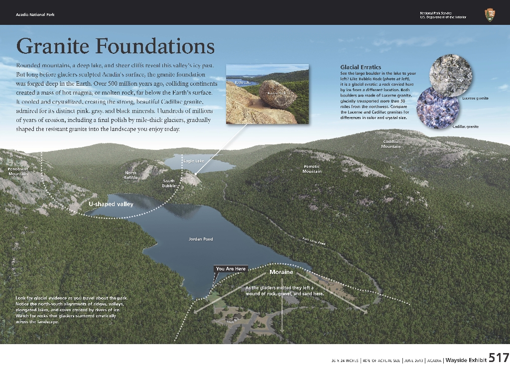
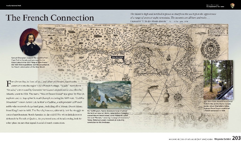
Is there something we missed for this itinerary?

Let us know!

Itineraries across USA