Best times of the year to visit Arches National Park:
Jan
Feb
Mar
Apr
May
Jun
Jul
Aug
Sep
Oct
Nov
Dec
Utah
1 - 4 days
Sep-May
3 day
itinerary in
Arches National Park
Devils Garden Trail
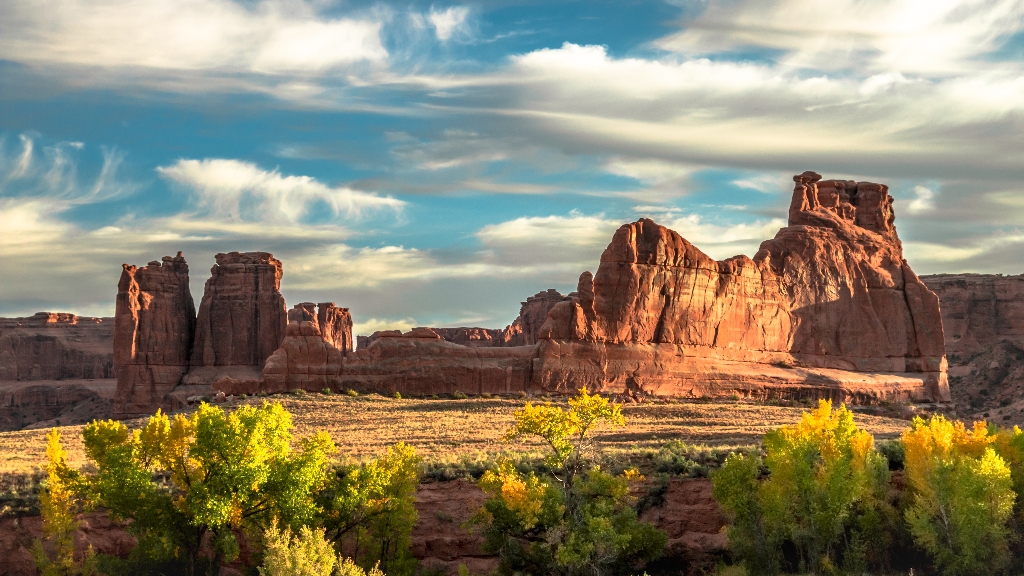
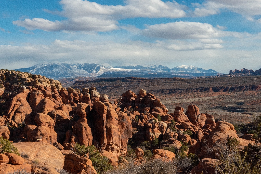
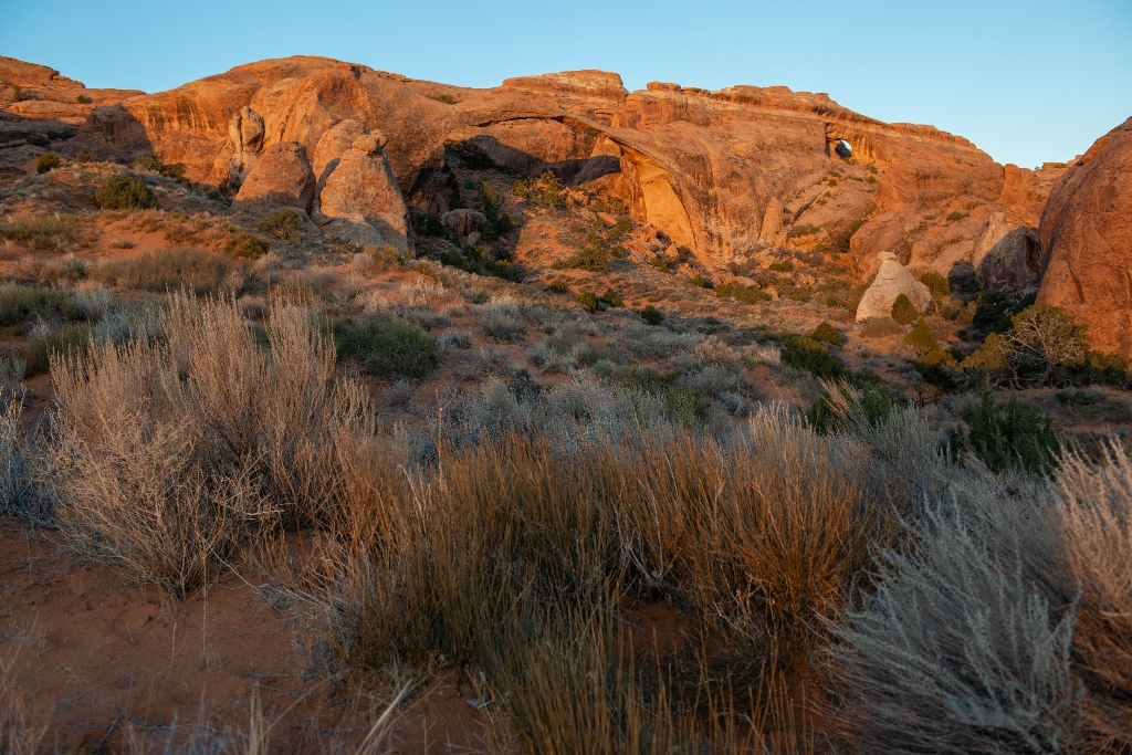
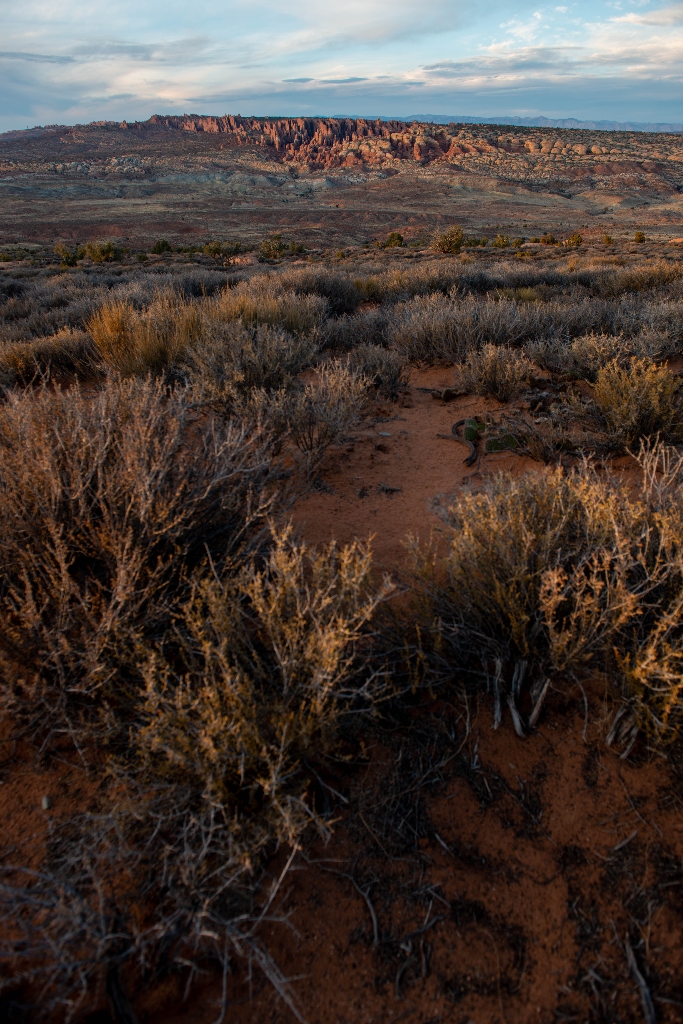
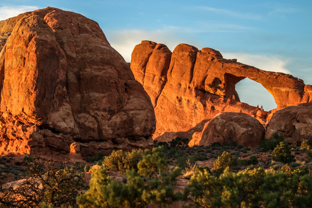
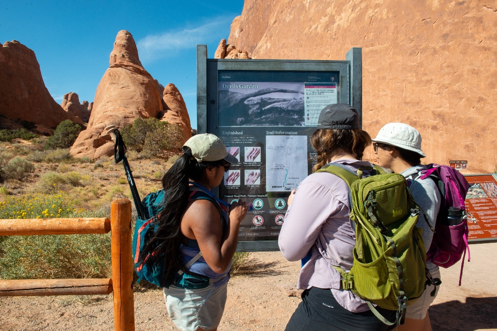
Moderate to strenuous trail, 2-5 hours
This trailhead offers a range of hikes, from short to strenuous. Beyond Landscape Arch (listed above), the trail climbs sandstone slabs. Footing is rocky, with narrow ledges, exposure to heights, rock scrambling, and few trail markers. Avoid when rock is wet or snowy. Bring at least 3 quarts (3 L) of water per person. Roundtrip just to Double O Arch: 4.0 miles (6.4 km), 2-3 hours. Whole Trail: 7.9 miles (12.7 km), 3-5 hours
Delicate Arch
2-3 hour hike to a park drawcard. Good for sunrise or sunset.
This trail hikes up 538 feet (164 m) to the most famous arch in the park, crossing open slickrock with no shade. Pass historic Wolfe Ranch and a rock markings panel, then climb steadily; follow the rock cairns and signs. Just before you get to Delicate Arch, the trail traverses a narrow rock ledge for about 200 yards (183 m). Take at least 2 quarts (2 L) of water per person. Roundtrip distance: 3 miles (4.8 km) Time: 2-3 hours
The Windows
A short walk with iconic park views. Great for sunrise.
Massive North Window is visible from the parking lot. A gentle climb up a hard-packed trail and stone steps leads to North Window, South Window, and Turret Arch. Return to the parking lot via the same trail, or take the slightly longer primitive route around the back side. First 300 feet (91 m) of main trail may be accessible to wheelchairs with assistance. Roundtrip Distance: 1 mi (1.6 km)  Time: 30-60 min  Elevation Change: 99 ft (30 m) 
Courthouse Towers
Easy, one hour hike on the Park Avenue Trail.
This is the north end of the Park Avenue Trail, which traces a mostly smooth canyon bottom uphill, then ascends rock-cut stairs to Park Avenue Viewpoint. For an easier walk, turn around at the base of the stairs. Roundtrip hikers: please remain on the trail both directions rather than walking along the road. Roundtrip Distance: 1.8 mi (3.2 km)  Time: 1 hour  Elevation Change: 322 ft (98 m) -- or much less if you skip the stairs
Courthouse Wash Panel
Rock art panel viewed on 30 min walk.
A rock markings panel above the Colorado River offers insight into the lives and movements of archaic peoples. View the panel from below (better with binoculars) or hike a short trail up to its base. First part of trail is paved and accessible to wheelchairs. Roundtrip Distance: 0.8 mi (1.4 km)  Time: 30-60 min  Elevation Change: 60 ft (18 m) 
Fiery Furnace
Exceptional maze of canyons worth 1-3 hours; permit/tour required.
The Fiery Furnace is a labyrinth of narrow sandstone canyons that requires agility to explore. One route is marked, but getting lost is still possible. Entering the Fiery Furnace requires tickets for a ranger-led hike or permits for exploring on your own. Both must be reserved in advance through Recreation.gov.
Visitor Center and Trail
Educational visitor center displays, and 10 minute nature trail.
Walk a short path behind the visitor center to learn about native desert plants and their traditional uses. Roundtrip Distance: 150 feet (45 m)  Time: 10 min  Elevation Change: 0 ft (0 m) 
Wolfe Ranch
Quick detour to a one-room cabin from Delicate Arch trailhead.
This humble, one-room cabin sits near the present-day trailhead for the hike to Delicate Arch. Visitors regularly peer through the doorway and wonder aloud, "Who lived here... and how?... And why?" For more than a decade, John Wesley Wolfe and his family lived and worked on the remote "Bar DX" ranch, eventually grazing more than 1,000 head of cattle on native grasses that once covered this area.
Broken Arch Trail
Easy 30-60 min hike across a meadow to Broken Arch.
From the trailhead at the Sand Dune Arch parking area, the trail crosses a large meadow to Broken Arch. You can return from there or continue through the arch to the campground, then circle back through fins with sand dunes and some moderate scrambling. Roundtrip Distance: 1.2 mi (1.9 km)  Time: 30-60 minutes  Elevation Change: 59 ft (18 m)
Double Arch Viewpoint and Trail
Tallest park arch, a short walk from The Windows area.
The tallest arch in the park at 122 ft (34 m), Double Arch is visible from The Windows parking loop. A relatively flat, gravel-surfaced path leads to the base of its two huge, arching spans. May be accessible to wheelchairs with some assistance. Roundtrip Distance: 0.6 mi (1 km)  Time: 15-30 min  Elevation Change: 30 ft (10 m)
La Sal Mountains Viewpoint
A quick stop for a distant view of the La Sal Mountains.
La Sal Mountains Viewpoint is located a short distance inside the park and offers an excellent overview of red rock scenery both inside and outside the park.
Landscape Arch Trail
Spectacular rock arch trail, 30-60 min.
A hard-packed trail leads to a spectacular ribbon of rock, whose span is longer than 300 feet (91 m). Spur trails lead to Pine Tree Arch and Tunnel Arch. Steep slopes may be accessible to wheelchairs with assistance. After Landscape Arch, the Devils Garden Trail becomes difficult, with rock scrambling, narrow ledges, and exposure to heights. Roundtrip Distance: 1.8 mi (2.9 km)  Time: 30-60 min  Elevation Change: 40 ft (12 m)
Panorama Point
A broad roadside viewpoint overlooking Arches and more.
Panorama Point offers wide-open views of Arches and the surrounding area. Located at the top of a hill, you can enjoy views of the La Sal Mountains, the Fiery Furnace, and even Devils Garden from your vehicle or at viewpoints along the parking area. Panorama Point is also an excellent place to stargaze and take in the night sky.
Skyline Arch Trail
Short hike to arch, 10-20 min.
A short, out-and-back hike on well defined trail leads to an arch in a high wall. On a cold night in November 1940, a large chunk fell out of this arch, instantly doubling the size of its opening. Roundtrip Distance: 0.4 mi (0.6 km)  Time: 10-20 min  Elevation Change: 28 ft (8 m) 
Balanced Rock
Easy stop with a 15-20 min, accessible loop trail.
Balanced Rock is visible from the park road. Although parking is limited, many visitors stop to complete the short hike around the feature's base for unusual and up-close perspectives. This loop trail is partly paved and may be accessible to wheelchairs. Climbing on Balanced Rock is prohibited. Roundtrip Distance: 0.3 mi (0.4 km)  Time: 15-30 min  Elevation Change: 35 ft (11 m) 
Delicate Arch Viewpoint Trails
Famous arch, multiple viewpoints, varying difficulty.
See the most famous arch in the park at a distance from one of these viewpoints. Lower Viewpoint is level and wheelchair-accessible; with a roundtrip distance of 200 ft (61 m). Upper Viewpoint is moderately strenuous: Roundtrip Distance: 0.5 mi (0.8 km)  Time: 30-45 min  Elevation Change: 171 ft (52 m)
Moab Fault Viewpoint
A quick roadside stop and view.
The highway below Arches parallels an ancient geologic fracture line, called the Moab Fault.
Park Avenue Viewpoint and Trail
Paved wheelchair-accessible path to viewpoint.
A paved sidewalk (wheelchair accessible) leads to a viewpoint down a corridor of towering rock walls and spires. Descend stairs to walk the trail among massive monoliths toward Courthouse Towers Viewpoint. For a roundtrip hike, return along the trail rather than walking along the road. Roundtrip Distance: 1.8 mi (3.2 km)  Time: 1 hour  Elevation Change: 322 ft (98 m) 

Is there something we missed for this itinerary?

Let us know!

Itineraries across USA