Ohio
1 - 5 days
3 day
itinerary in
Cuyahoga Valley
Akron Northside Station
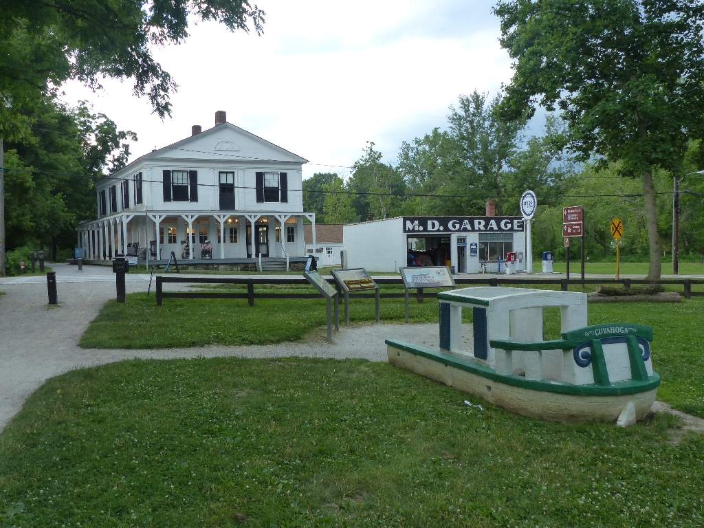
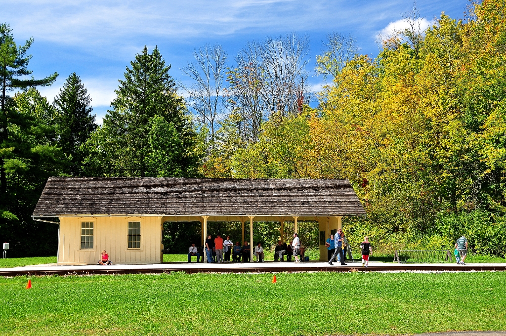
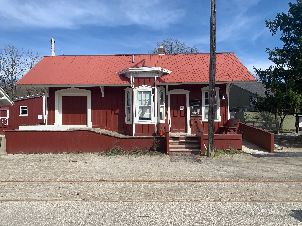
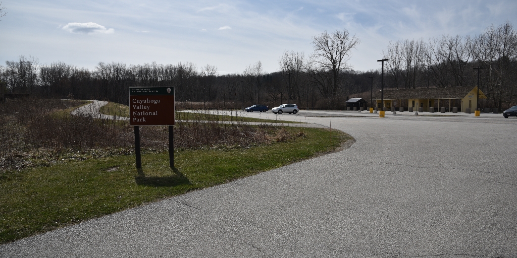
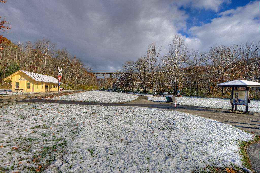
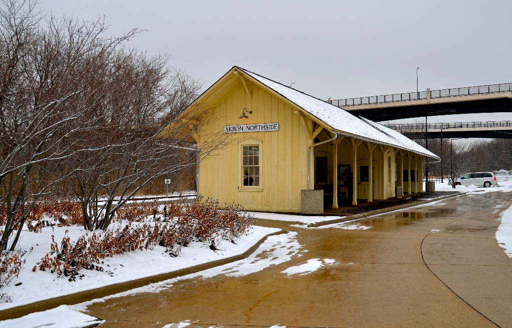
Catch train at Akron station, ample parking, near dining and shops.
Passengers in the Akron area can catch Cuyahoga Valley Scenic Railroad at Akron Northside Station. The station has ample parking and is a primary starting point for train excursions and events into the national park. The station is on a bus line and within walking distance of shopping, dining, and the Towpath Trail.
Alexander-Wilson Mill
Historic mill across canal, operated by two families, now feed store.
Across the canal is a historic mill. Up until 1970, it used waterpower to grind grain. The mill has been operated by two different families through several generations. It is now a feed store with pre-bagged grain.
Bath Road Heronry
Bath Road Heronry, exhibit panels, see/hear birds w/o leaving car.
The Bath Road Heronry is a pull off along Bath Road, with exhibit panels telling about these prehistoric birds. Unique in that you can see and hear these birds without ever leaving the car!
Boston Mill Station
Boston Mill Station is a stop with various attractions and trails.
Boston Mill Station is a Cuyahoga Valley Scenic Railroad flag stop. Passengers can get off the train to visit Boston Mill Visitor Center, the pedestrian friendly village of Boston, and nearby trails. Bicyclists, runners, hikers, and paddlers can access the train’s one-way shuttle service to create a trail-train adventure.
Boston Run Trailhead Information
Happy Days Lodge parking lot near Boston Run Trail - 3.1 miles.
The far corner of the main parking lot for Happy Days Lodge provides access to Boston Run Trail. This 3.1-mile loop explores the woods and ravines along a headwater stream of the Cuyahoga River.
Boston Store Trailhead
Boston Village near canal and railroad; use Boston Store Trailhead.
The Village of Boston grew up alongside a canal on the east side of the Cuyahoga River and a railroad on the west side of the river. Boston Store Trailhead provides limited mobility parking on the east side. Use it to access the Ohio & Erie Canal Towpath Trail and refreshments at Boston Store. This small trailhead does not accommodate over-sized vehicles.
Boston Store Trailhead River Access
River access from Boston Store Trailhead in Boston Village. Nearby visitor center.
Access the river from Boston Store Trailhead in the Village of Boston. Boston Mill Visitor Center is nearby.
Boston Street View Panel
Boston thrived with canal arrival. Exhibit shows early 1900s town.
Boston boomed with the arrival of the Ohio & Erie Canal in 1827. It boomed again when a paper mill, the Cleveland Akron Bag Company, opened in 1902. This exhibit shows an early 1900s view of Boston Mills Road when the bag company dominated the town.
Boston Trailhead
Boston Village hub for hiking, cycling, running, paddling, and horse riding.
The Village of Boston is a crossroads for hikers, cyclists, runners, paddlers, and horse riders. Boston Trailhead provides parking for the Ohio & Erie Canal Towpath, Valley, and Buckeye trails. Paddlers may park their vehicles at the trailhead after unloading equipment at the Cuyahoga River Water Trail drop-off. Horse trailers are permitted. However, the parking lot was not designed to accommodate them, and it can be a challenge to navigate.
Boston Village Exhibits
Outdoor display exploring Boston's canal era success, featuring boat building.
Explore how Boston boomed during the canal era at this outdoor interpretive display. Boston’s success came in part from its role in boat building. Exhibits feature Boston’s boatyards, the basics of canal boat building, and other canal era businesses. A play structure provides a hands-on canal boat experience.
Botzum Station
Shuttle for outdoor enthusiasts at Botzum Station near parking. Walking time not specified.
Passengers using Cuyahoga Valley Scenic Railroad’s shuttle service for bicyclists, runners, and hikers can get on and off the train at Botzum Station. This station is located near the southern edge of Cuyahoga Valley National Park adjacent to the Towpath Trail. Botzum Trailhead offers ample parking nearby.
Botzum Trailhead Information
Botzum Trailhead, southern access to Towpath Trail attracts exercise enthusiasts. 2.5 miles.
Botzum Trailhead is a large parking lot and the southernmost access to the Towpath Trail in Cuyahoga Valley National Park. Named for a prominent settler, Botzum was part of a string of communities that grew up along the canal and railroad. This section of the towpath attracts exercise enthusiasts. It is 2.5 miles north to Beaver Marsh to view wildlife. Head south through a commercial district. The towpath intersects Cascade Valley and Sand Run metro parks in 2.5 miles.
Brandywine Falls Trailhead Information
Visit Brandywine Falls, walk 1.4-1.5 miles on scenic trails. Access Bike & Hike Trail.
Explore the power and beauty of the 60-foot Brandywine Falls from this location. Extend your visit by walking the 1.4-mile Brandywine Gorge Loop or 1.5-mile Stanford Trail. The trailhead also provides access to Summit Metro Parks’ Bike & Hike Trail.
Brecksville Station
Brecksville Station on Cuyahoga Valley Scenic Railroad serves trail users.
Brecksville Station is a flag stop for Cuyahoga Valley Scenic Railroad. It is located at Station Road Bridge Trailhead, which offers ample parking. Passengers can get on and off the train as part of combination trail-train adventure. The train provides a one-way shuttle service for bicyclists, runners, hikers, and paddlers using the Towpath, Buckeye, or Cuyahoga River Water trails.
Canal Exploration Center Station
Ride railroad, visit Canal Exploration Center, walk Towpath Trail.
Passengers riding Cuyahoga Valley Scenic Railroad can get on and off to visit Canal Exploration Center and travel along the Towpath Trail.
Canal Exploration Center Trailhead
Visit kiosk near Canal Exploration Center for local activity information.
Stop by this information kiosk to learn what there is to do in the area around Canal Exploration Center.
Carved In Stone Panel
Stairs integrated in Ledges. CCC built, earlier evidence suggests Thompson.
These stairs blend well into the Ledges rock. The National Park Service has long credited the Civilian Conservation Corps (CCC) as their builder. The CCC famously used local resources in ways that fit in the landscape. New evidence suggests stairs existed prior to the CCC. The Plain Dealer published an article about the Ledges in 1906 with a photo of very similar stairs. Mr. Thompson owned a nearby farm. Future research might answer whether he built the original stairs.
Cuyahoga River and Prehistoric People
Cuyahoga River in Native American societies for food and transportation.
Explore the role the Cuyahoga River played in past Native American societies, both for transportation and as a food source.
Everett Covered Bridge
Exhibit tells story, last covered bridge in Summit County remains.
An exhibit here tells the story of once common covered bridges. The Everett Covered Bridge is the last covered bridge remaining in Summit County. Through the years, covered bridges were replaced by iron bridges, much like horses were replaced by iron machines.
Everett Covered Bridge Trailhead Information
Everett Covered Bridge rebuilt after 1975 flood; trails nearby. Miles.
For almost a century, the original Everett Covered Bridge provided safe crossing over Furnace Run. Today’s bridge was reconstructed after a 1975 flood. The trailhead provides access to the bridge and nearby trails. The 5.6-mile Riding Run Trail is open to pedestrians and horses. The 1.9-mile Furnace Run Trail is a walking trail popular for viewing spring wildflowers.
Frazee House Panel
Explore Frazee House, Western Reserve pioneer family architecture.
Explore the architecture of the Frazee House. The Frazees were a Western Reserve pioneer family who became successful during the canal era.
Frazee House Towpath Panel
Frazee House near canal dominates landscape since 1825-27.
From the Towpath Trail, gaze across the canal to the Frazee House, built with handmade bricks in 1825-27. It still dominates the landscape, much as it did during the canal era.
Gleason Farm Panel
Visit Gleason Farm on Towpath Trail. Active in Countryside Initiative.
View the historic Gleason Farm as you travel the Towpath Trail. It remains a working farm, part of the park’s Countryside Initiative program.
Greenwood Village: Fort or Sacred Site?
Earthworks initially thought to be a fort are now ceremonial site.
The earthworks near this site were initially considered a fort, but archeologists now consider them to be more of a ceremonial site. Exhibits explain the history of the archeology here and why the purpose has been reconsidered. The area is accessible via the Old Carriage/Bike and Hike Connector Trail, with the Bike and Hike Trail uphill from the connector and the Towpath Trail downhill in the valley from this location.
Greenwood Village: Prehistoric Earthwork
Whittlesey Culture earthworks on Bike & Hike Access Trail.
Native Americans have left their marks on the land for thousands of years. Explore the earthworks of the Whittlesey Culture along the Old Carriage Trail, here a part of the Bike & Hike Access Trail. Travel up out of the valley, following signs to access the Bike & Hike Trail, or travel downhill to the Towpath Trail.
Happy Days Historic Sign
Sign marks path to lodge. CCC built in 1930s. Trail starts behind.
A large sign marks the path to Happy Days Lodge. The Civilian Conservation Corps built Happy Days Lodge during the Great Depression in the 1930s. It was part of their effort to develop park amenities for Virginia Kendall Park, now part of Cuyahoga Valley National Park. Haskell Run Trail starts behind Happy Days Lodge and connects to additional Virginia Kendall Park trails.
Happy Days Lodge
CCC men built Happy Days Lodge during Great Depression for camp; managed by Conservancy for Cuyahoga Valley National Park.
The men of the Civilian Conservation Corps built Happy Days Lodge during the difficult years of the Great Depression. They used manual labor and local materials, including Berea Sandstone and wormy American chestnut. For years, it served as a camp for children from the City of Akron. Today, it is a rental facility and program space managed by the Conservancy for Cuyahoga Valley National Park.
Haskell Run Trailhead Information
0.5 mile loop trail near creek, birdwatching, wildflowers in spring.
The Haskell Run Trail is a ½-mile loop trail that explores a creek that feeds the Cuyahoga River. The creek’s deep, wooded ravine attracts abundant birdlife. Visit in April and May to enjoy spring wildflowers. The trail also connects Happy Days Lodge with the Ledges area.
Horseshoe Pond Trailhead Information
Bishop Farm history, Tree Farm Trail shows nature reclaiming fields.
The Horseshoe Pond area was once part of the historic Bishop Farm. By the second half of the 1900s, the Bishops were planting and selling Christmas trees. Take the Tree Farm Trail to see how nature is reclaiming these old fields.
Hunt House and Outdoor Exhibits
Farm life exhibit in 1920s and 1930s through Helen's eyes.
“Growing Up in Everett” exhibits explore farm life in the 1920s and 1930s through the eyes of Helen Fiedler Toth. Listen to her stories, flip through her photo album, and play with her calf and chickens.
Hunt House Trailhead
Hunt House showcases village life and wildlife exhibits. Walk to Lock 27.
Hunt House is in the Village of Everett, a type of rural crossroads community that was once common across America. Family-friendly exhibits at Hunt House explore village life and the lives of wild plants and animals. From Hunt House continue a quarter mile north to Lock 27 for another peek into the crossroads community. Beaver Marsh, popular for wildlife watching, is three-quarters of a mile south.
Indigo Lake Station
Passengers use shuttle for Hale Farm & Village from train.
Cuyahoga Valley Scenic Railroad passengers can get on and off the train at Indigo Lake Station. Connector trails lead west to Hale Farm & Village and east to the Towpath Trail. The railroad coordinates a shuttle ride to Hale Farm & Village with select train excursions. Nearby parking is limited.
Ira Trailhead Exhibits
Exhibit cluster at Beaver Marsh details wetland transformation, mammal sculptures.
An exhibit cluster shares the remarkable story of nature’s recovery at Beaver Marsh, located a quarter mile to the north. Beavers and humans transformed a former auto salvage yard into a 70-acre wetland in the 1980s. Hands-on beaver, river otter, and muskrat sculptures introduce three mammals that depend on the marsh for their survival.
Ira Trailhead Information
Trailhead popular for Beaver Marsh, half mile north on Towpath Trail.
This trailhead is popular for accessing the Beaver Marsh, located a half mile to the north on the Towpath Trail. The story of the Beaver Marsh has many chapters: a dairy farm, an auto salvage yard, and now a popular spot for viewing the wildlife, plants, and scenery of a recovering marshland.
Kendall Lake Pier and Shelter
Kendall Lake Pier: Originally for swimming, now fishing and photography.
The Kendall Lake Pier was built by the Civilian Conservation Corps and originally served as a swimming pier. Today it serves as a fishing pier, a photography point, and a place to relax and enjoy nature.
Kendall Lake Trailhead Information
Kendall Lake: CCC-built amenity; 1-mile loop trail; additional trails nearby.
The Kendall Lake is one of the many amenities the Civilian Conservation Corps built in the Virginia Kendall Park. A one-mile trail loops around Kendall Lake. The Cross Country and Salt Run trails can also be accessed from this location.
Ledges Overlook
Ledges Overlook offers view of Cuyahoga Valley, stunning scenery year-round.
The Ledges Overlook provides an expansive view of the Cuyahoga Valley. From here, visitors can appreciate how the park protects a large tract of natural open space between the cities of Akron and Cleveland. The scenery is stunning in any season.
Ledges Shelter and Exhibits
Large shelter available for groups and families, with reservation fee.
The Ledges Shelter is the largest Civilian Conservation Corps shelter in Cuyahoga Valley National Park. Groups and families with up to 75 people may reserve it for a fee.
Ledges Trailhead Information
The Ledges are the main attraction at Virginia Kendall Park.
The striking rock cliffs of the Ledges are a primary feature of Virginia Kendall Park, developed in the 1930s. Use this trailhead to access a 1.8-mile trail that circles the Ledges, a rentable shelter, a giant grassy playfield, and many wooded picnic sites.
Lock 26
Lock 26, canal boats, dairy farming, cheesemaking exhibit, Cuyahoga Valley.
Lock 26 was one of 44 locks that let canal boats step up from Lake Erie to the 968-foot-high Portage Summit in Akron. The Carter family lived nearby and had a dairy farm in addition to working on the Ohio & Erie Canal. Here in the Cuyahoga Valley, dairy farming was common, and the area became known as “cheesedom.” An exhibit at Lock 26 explores the Carter family story and local cheesemaking.
Lock 29 River Access
River access from Lock 29 Trailhead, with nearby Peninsula Depot.
Access the river from the Lock 29 Trailhead parking lot in Peninsula. Peninsula Depot and food are nearby.
Lock 29 Trailhead Information
Ohio&Erie Canal transformed Peninsula into industrial hub, popular stop. Walk.
The Ohio & Erie Canal made Peninsula a busy industrial town and popular overnight stop for canal travelers. Today visitors can stroll through the historic downtown, shop, and dine. Lock 29 Trailhead is a popular, often crowded access point for the village, Towpath Trail, Cuyahoga Valley Scenic Railroad, and Cuyahoga River Water Trail. On the towpath, travel 2.3 miles north to the village of Boston. About a mile south is Deep Lock and connecting trails to old stone quarries.
Lock 32
Lock 32: part of Ohio & Erie Canal, McBride's Grocery nearby.
Lock 32 was one of 44 locks on the Ohio & Erie Canal between Lake Erie in Cleveland and the Portage Summit in Akron. Historically, McBride’s Grocery served canallers at Lock 32.
Lock 35
The Murphy family's farm at Lock 35 had laughter, tears.
Read about the “laughter and tears” of the Murphy family who once had a farm at Lock 35.
Lock 36
Explore Pinery Feeder at Lock 36, walking time included.
By the remains of Lock 36, visitors can explore the Pinery Feeder which still “feeds” water from the Cuyahoga River into this section of the Ohio & Erie Canal.
Lock 37 and Flood Gate
Lock 37 historic site, Towpath Trail access via Fitzwater Road.
Lock 37 was once a busy location with a tavern, mill and floodgate. A small parking lot on nearby Fitzwater Road provides access to the Towpath Trail.
Lock 38 at Canal Exploration Center
Learn about canal lock mechanics, visit Lock 38 for demonstration.
What is a canal lock? Stop here to learn about the mechanics of these boat elevators. If you are lucky to have water in the canal on a summer weekend, you might see volunteers demonstrating how Lock 38 works.
Lock 39
Lock 39 in Cuyahoga Valley National Park, site of canal remnants.
Lock 39 is the northernmost lock in Cuyahoga Valley National Park. It is one of many canal remnants you can see as you walk, ride, or run along the Towpath Trail.
Lock 39 River Access
Access river at Lock 39 Trailhead. Long paddle to Cleveland.
Access the river from the Lock 39 Trailhead in Valley View. This site allows access for a long paddle, nearly 12 miles, into Cleveland. Rockside Station and food are nearby.
Lock 39 Trailhead Information
Northern trailhead in Cuyahoga Valley; access Towpath Trail. Pedestrian bridge nearby.
This is the northernmost trailhead within Cuyahoga Valley. From here, visitors can explore the Towpath Trail south into the national park or north into Cleveland Metroparks. Across the parking lot is an access point for the Cuyahoga River Water Trail and a pedestrian bridge to Rockside Station.
Moody and Thomas Mill Site
Water powered grist mill built in 1832, now in ruins.
Falling water once provided power to grind grain into flour. Hermon Bronson built a grist mill here in 1832, conveniently located on the new Ohio & Erie Canal. Today the mill race and crumbling foundation are all that remain.
Mudcatcher
View Mudcatcher Falls from Towpath, then head north for 0.1 mile.
Across the canal here, visitors can see the manmade Mudcatcher Falls. The stone abutment was built to hold back soil and debris from entering the canal. From this vantage point, visitors can travel north or south on the Towpath. To the north, in less than a tenth of a mile, the Valley horse trail will veer off to the left. In early spring, visitors may be lucky enough to see a bald eagle from this trail.
Mule Power Panel and Statue
America powered by animals before machines. Mules pull boats.
We can easily forget that America was once powered by animals, not by machines. Explore why mules were the preferred animal for pulling boats along the canal, as you meet “Blossom” the bronze mule.
Oak Hill Trailhead
Oak Hill: birding, running, hiking, fishing, photography, cross country skiing; trails.
The Oak Hill area is a favored area for birding, running, hiking, fishing, photography, and cross country skiing. Once farmed, the area is now returning to forest. Two trails intertwine here – the shorter 1.8-mile Oak Hill and the longer 5-mile Plateau trail. They skirt farm ponds and deep ravines.
Octagon Shelter and Exhibits
Octagon Shelter epitomizes parkitecture, fits in natural landscape, and reservable.
The Octagon Shelter is a great example of a style of architecture that came to be known as “parkitecture.” This type of architecture fit well into the natural landscape. It became synonymous with Civilian Conservation Corps structures. Groups and families with up to 50 people may reserve it for a fee.
Ohio and Erie Canalway National Heritage Area
Ohio and Erie Canalway sparked economic growth and westward expansion. *Walking time not mentioned.
The Ohio and Erie Canalway National Heritage Area spurred economic development across the nation by creating an inland connection for goods from Lake Erie to the Ohio River, known as the heartland of America to the eastern seaboard. This development fueled westward expansion, a national market economy, a booming industrial manufacturing sector, and the settlement of towns, villages, and cities along the canal.
Ohio's Lake Placid Panel
CCC built toboggan chutes for winter recreation, last standing examined.
The Civilian Conservation Corps built many outdoor recreation amenities, including toboggan chutes. Here an exhibit examines the last chutes that once stood here, providing winter fun for some 40 years.
Old Canal Bed Panel
Pause on bridge, view canal, nature reclaiming. Continue on trails.
Pause on this footbridge to gaze into the bed of the historic Ohio & Erie Canal. Nature is reclaiming this built waterway. Observe how a seasonal stream is carving its way down the valley walls to the Cuyahoga River. From here, continue on the flat Towpath Trail or head uphill to the Old Carriage Trail and the Bike & Hike Trail.
Peninsula Depot
Depot from Valley Railway, now ticket office for scenic railroad.
The Peninsula Depot is an original station from the historic Valley Railway. Today it serves as a ticketing office and boarding location for the Cuyahoga Valley Scenic Railroad.
Pilgerruh Panel
"Pilgerruh means 'pilgrim's rest.' Refuge in Tinkers Creek."
Pilgerruh means “pilgrim’s rest.” From 1786-87, Christian Lenape and Moravian missionaries sought refuge near Tinkers Creek.
Pine Grove Trailhead Information
2 interconnected trails, 1.8-mile Ledges, 2.2-mile Pine Grove, wooded areas.
Access two of the interconnected trails in Virginia Kendall Park from the Pine Grove Trailhead. The 1.8-mile Ledges Trail circles around a sandstone outcrop with towering cliffs. The 2.2-mile Pine Grove Trail wanders through areas with planted pine trees and along the edge of wooded ravines. Both trails are relatively flat with uneven surfaces.
Pine Hollow Trailhead Information
Pine Hollow Trailhead at Kendall Hills, scenic views, year-round trail access.
The Pine Hollow Trailhead, with its plentiful parking, sits at the top of the Kendall Hills. The location offers scenic views, a popular sledding destination, and year-round trail access. From here you can access the Salt Run or Wetmore trails, or follow connectors to the Lake and Cross Country trails.
Pine Lane Trailhead Information
Pine Lane Trailhead leads to long trails, hiker/runners, avoid crowds.
Pine Lane Trailhead provides access to two of the longest trails that pass through the national park: the Buckeye and the Valley. This is a good starting point for hikers and runners who want to avoid the crowds and challenge themselves with hills.
Pinery Feeder
Restore river by removing dams. Cuyahoga now free flowing. Learn more.
How do you restore a river? When two historic dams were removed at this site in 2020, the Cuyahoga became free flowing here for the first time in nearly 200 years. Learn more and find out the new method for diverting river water into the Ohio & Erie Canal via the Pinery Feeder.
Red Lock Trailhead
Trailhead area showcases nature reclaiming industrial sites, birding hotspot nearby.
The Red Lock Trailhead area is a place to observe how nature is reclaiming old industrial sites and canal ruins. The small trailhead provides access to the Ohio & Erie Canal Towpath Trail, Valley Trail, and Cuyahoga River Water Trail. The area is a hotspot for birding, especially during spring migration. About a half-mile south on the towpath is the site of the Jaite Paper Mill, once a large employer in Cuyahoga Valley.
Red Lock Trailhead River Access
Access river from south side Vaughn Road bridge, near Red Lock Trailhead in Northfield.
Access the river from the south side of the Vaughn Road bridge over the Cuyahoga River. This bridge is located near Red Lock Trailhead in Northfield.
Restoring the Cuyahoga River Exhibits
Exhibits at Station Road Bridge Trailhead share Cuyahoga River's recovery.
Near the Station Road Bridge Trailhead, several exhibits tell the Cuyahoga’s remarkable story of recovery. Wildlife is returning to a river famous for catching fire. Listen and read how local people made this happen. Pose for photos with our eagle and heron statues.
Ritchie Ledges Panel
Learn Ritchie Ledges geology basics, walking time 315-320 million years.
The Ledges create a high point in the valley uplands. Learn the basics of their geology at the Ritchie Ledges wayside. It describes how periodically fast-moving streams flowed through a steamy swamp about 315-320 million years ago. The streams brought sand and pebbles that formed the Sharon Sandstone and Conglomerate rock that we see today.
Rockside Station
Cleveland passengers catch railroad at Rockside Station, ample parking available.
Passengers in the Cleveland area can catch the Cuyahoga Valley Scenic Railroad at Rockside Station. This also provides overflow parking for visitors accessing the Towpath Trail and the Cuyahoga River Water Trail at Lock 39 Trailhead. The station has ample parking and is a primary starting point for train excursions and events.
South Park Exhibits
South Park Village across river from Whittlesey Tradition exhibits, 1000-1600.
South Park Village was on a bluff across the river from these exhibits. Prehistoric people of the Whittlesey Tradition lived here from 1000 to 1600.
Stanford House
Stanford House, built in 1843, offers accommodations through Cuyahoga Conservancy.
Built in 1843 by George Stanford, the Stanford House offers accommodations to groups and visitors through the Conservancy for Cuyahoga Valley National Park.
Stanford Trailhead
Stanford Trailhead: small parking area, 1.5-mile trail to Brandywine Falls.
Stanford Trailhead is a small, unpaved parking area for Stanford Trail. This 1.5-mile trail leads up the side of the valley to Brandywine Falls. The parking also serves Stanford House, an overnight facility operated by the Conservancy for Cuyahoga Valley National Park.
Station Road Bridge Exhibits
Historic bridge built in 1881, now used for recreation purposes.
The wrought-iron Station Road Bridge was built over the Cuyahoga River in 1881. It provided vehicle access to the Cuyahoga Valley Line at Brecksville Station. This train station and its bridge were a vital link between Cuyahoga and Summit counties, improving travel between Cleveland and Akron. Today, the bridge serves hikers, horseback riders, and cyclists. Two exhibit panels interpret the Pinery Narrows bridges and the Cuyahoga River.
Station Road Bridge River Access
Access river via Bridge Trailhead in Brecksville, southeast corner parking.
Access the river via the Station Road Bridge Trailhead in Brecksville. A mowed path leads from the southeast corner of the parking lot to the river.
Station Road Bridge Trailhead Information
Brecks Station: rail crossroads for hikers, cyclists, runners, paddlers. Ample parking.
Brecksville Station was once a loading point for outgoing milk and lumber on the Valley Railway. Now this area is a crossroads for rail passengers, hikers, cyclists, runners, paddlers, and horse riders. Here, Station Road Bridge Trailhead provides ample parking and access to the Towpath Trail, Cuyahoga River Water Trail, and Cuyahoga Valley Scenic Railroad. In spring and summer, this is a hotspot for birders who flock to see cerulean and yellow-throated warblers.
Tavern and Store Panel
Ohio & Erie Canal rest stop: Canal Exploration Center, mid-1800s.
Canal Exploration Center was once a rest stop on the Ohio & Erie Canal. The Gleasons ran a tavern and a store in this building in the mid-1800s.
Tinkers Creek Aqueduct
Aqueduct carries canal over creek, walking distance not mentioned.
Why is there a bridge for water? This aqueduct carries the Ohio & Erie Canal over Tinkers Creek.
Waste Weir
Remains: waste weir, canal controlled water levels for irrigation.
The remains found here are called a waste weir, where excess water could drain off the canal. The canal was a regulated 4 feet deep and too much water could do as much damage as too little water.
Wetmore Trailhead Information
Wetmore Trailhead: for exercise, exploration, less crowded park; hikers, horseback.
Wetmore Trailhead offers many choices for exercise and exploration in a less crowded part of the park. Horseback riders and hikers share the five interconnected trails. From here, you can also connect to Kendall Lake and Everett Covered Bridge area trails.
William McKinley Tomb
Large domed mausoleum for William McKinley, 25th US president in Canton, Ohio.
This large circular, domed mausoleum is the final resting place of William McKinley, the 25th president of the United States. McKinley was born in Niles, Ohio but he called Canton home throughout his adult life. He began his career in this city, met his beloved wife, and ran for the highest office of the nation here. His election in 1896 launched an era of Republican dominance that continued until 1910. McKinley governed during a period of intense American expansionism.

Is there something we missed for this itinerary?

Let us know!

Itineraries across USA