Geographical Isolation
As you hike up to the overlook, take a moment and rest halfway up. Near this location two different rock types converge-Monterey shale and Santa Cruz Island volcanics. To the east is Monterey shale- a white to beige, fine, silica-rich rock made up of sediment washed out to sea from the mainland, reworked volcanic deposits, and shells and skeletons of marine organisms. These particles were laid down in layers underwater 7-16 million years ago.
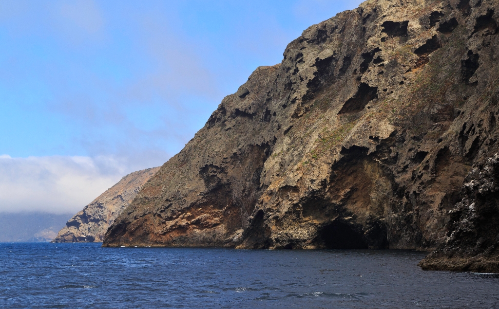
To the west (the area you have been hiking on) lies the Santa Cruz Island volcanics, composed primarily of andesite, a dark-colored, fine-grained rock. These rocks reveal a fascinating story about the formation of the Channel Islands. Between 15-30 million years ago, lava flows and volcanoes covered much of the area that now comprises the northern Channel Islands and the western Santa Monica Mountains. In some places the lava accumulated to as much as 10,000 feet thick. A certain type of lava, pillow lava, found in some of these rocks is evidence that much of the volcanic action took place below the surface of the ocean. In other places, oyster shells and other marine fossils are found embedded in the lava. At times, the buildup of lava was great enough that volcanic islands formed. These islands probably were short lived and were eroded to below sea level after the volcanic action ceased.
The reason for these volcanic eruptions can be found within the magnetic particles in the rocks. As the rocks were cooling, magnetic particles within the rocks would have been set in line with the magnetic poles of the earth. However, magnetic measurements now taken in these same rocks show that they do not line up. In fact, they are off by about 100 degrees, with the oldest rocks showing the largest discrepancy. Geologists believe that when these rocks were formed, the platform on which the islands rest lined up in a north-south direction along the southern coast of California, with San Miguel Island's position lying just offshore from San Diego.
As the Pacific plate made contact with and began to slide past the North American plate, forming the San Andreas fault, this platform was rotated in a clockwise direction to its present east-west position. As it rotated, the crust of the ocean thinned and the resulting reduction of pressure allowed molten magma to form and ascend from the mantle, erupting under the sea as lava.
Around 5 million years ago, compressional forces, caused by the ramming of Baja California into southern California, resulted in folding and faulting of these marine sediments and volcanic rocks and the eventual uplift of the islands. These compressional forces are still ongoing, making this area geologically active today. Earthquakes are quite common. A major fault that runs through the center of the island has moved nearly 100 feet in the last 30,000 years, and all the islands continue to be uplifted.
Ever since these compressional forces caused the islands to emerge from the sea, they have been separated from the mainland. For decades, scientists assumed that the two were connected by a landbridge, but as bathymetric information (or topography) of the sea floor improved, it revealed that even during periods of lowest sea levels (about 17,000 years ago), the islands still remained isolated by at least four miles of ocean. It is this continuous geographical isolation that has shaped island life.
Santarosae
Although never connected to the mainland by a land bridge, the four northern islands were once part of the Pleistocene ‘superisland' known as Santarosae, nearly four times as large as the combined areas of the modern Channel Islands. The dark shaded area on the map depicts ancient coast of Santarosae and California around 20,000 years ago when sea level was 100 meters (approximately 350 feet) lower than it is today. As the ice sheets and glaciers melted and the sea level rose, only the highest parts of Santarosae remained as modern islands.
Is there something we missed for this itinerary?
Itineraries across USA


