Geographical Isolation
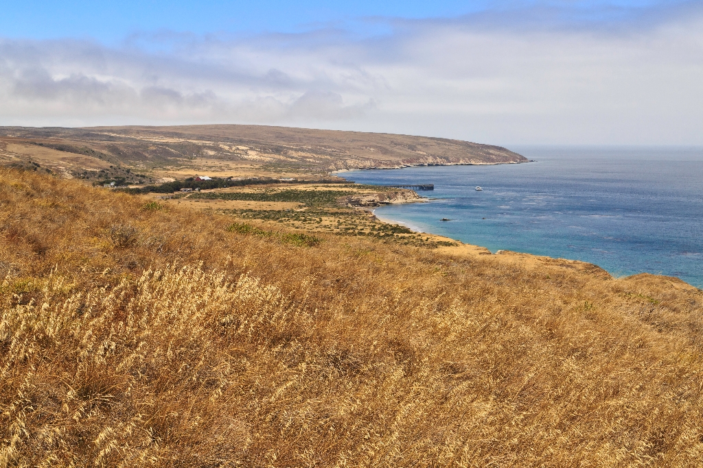
Now that you have reached the top of the ridge, take a moment and rest. As you look across Bechers Bay, you may notice the broad, elevated coastal plain. Geologists call these marine terraces-ancient shorelines carved flat by wave action and exposed through changes in sea level and tectonic uplift of the land. Remnants of this and older marine terraces can be found around much of the island's coastline. You're actually standing on an older marine terrace right now while a future marine terrace (called a wave-cut platform) is being created by wave erosion at the base of the sea cliffs below you.
The islands' first shoreline was created around five million years ago, when compressional forces, caused by the ramming of Baja California into southern California, resulted in folding and faulting of marine sediments and volcanic rocks (deposited between 15-30 million years ago) and the eventual uplift of the islands. These compressional forces are still ongoing, making this area geologically active today. Earthquakes are quite common. A major fault that runs east-west through the center of Santa Rosa Island has moved nearly 10 miles, and all the islands continue to be uplifted.
Ever since these compressional forces caused the islands to emerge from the sea, they have been separated from the mainland. For decades, scientists assumed that the two were connected by a land bridge, but as bathymetric information (or topography) of the sea floor improved, it revealed that even during periods of lowest sea levels (about 17,000 years ago), the islands still remained isolated by at least four miles of ocean. It is this continuous geographical isolation that has shaped island life.
Santarosae
Although never connected to the mainland by a land bridge, the four northern islands were once part of the Pleistocene "super island" known as Santarosae, nearly four times as large as the combined areas of the modern Channel Islands. The dark-shaded area on the map depicts the ancient coast of Santarosae and California around 20,000 years ago when sea level was approximately 350 feet lower than it is today. As the ice sheets and glaciers melted and the sea level rose, only the highest parts of Santarosae remained as modern islands.
Is there something we missed for this itinerary?
Itineraries across USA


