Geographical Isolation
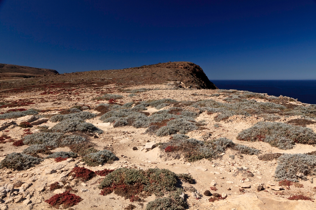
As you hike up to Cavern Point, take a moment and rest halfway up the canyon. As you have been hiking, you probably have noticed areas of bright white, chalky rock that have been exposed along the hillsides due to erosion. While this excessive erosion due to overgrazing is detrimental to the island's native vegetation, it does give us the chance to take a closer look at part of the island's complex geology.
This white layer is known as diatomaceous earth. It is derived from very small, single-cell sea plants called diatoms, which are made of silica (silicon dioxide). As these plants die, their silica skeletons settle into the various marine sediments at the bottom of the ocean, often enmasse. It is from this diatomaceous earth that the mineral chert is derived-some of the siliceous diatoms are dissolved by water and then later recrystallized as a dense hard form of rock. Chert fractures like glass and was used by the Chumash Indians for arrowheads, drill bits, and scraping and cutting tools. Chert on the islands has a light brown color owing to small amounts of iron impurities. Other impurities in chert give it a variety of colors that can be found throughout the world. The black variety is called flint and is colored by inclusions of organic matter. Jasper is the name given to the red-colored variety owing to inclusions of an iron oxide, hematite.
Around five million years ago, compressional forces, caused by the ramming of Baja California into southern California, resulted in folding and faulting of these marine sediments and volcanic rocks (deposited between 15-30 million years ago) and the eventual uplift of the islands. These compressional forces are still ongoing, making this area geologically active today. Earthquakes are quite common. A major fault that runs through the center of the island has moved nearly 100 feet in the last 30,000 years, and all the islands continue to be uplifted.
Ever since these compressional forces caused the islands to emerge from the sea, they have been separated from the mainland. For decades, scientists assumed that the two were connected by a landbridge, but as bathymetric information (or topography) of the sea floor improved, it revealed that even during periods of lowest sea levels (about 17,000 years ago), the islands still remained isolated by at least four miles of ocean. It is this continuous geographical isolation that has shaped island life.
Santarosae
Although never connected to the mainland by a land bridge, the four northern islands were once part of the Pleistocene 'superisland' known as Santarosae, nearly four times as large as the combined areas of the modern Channel Islands. The dark shaded area on the map depicts ancient coast of Santarosae and California around 20,000 years ago when sea level was 100 meters (approximately 350 feet) lower than it is today. As the ice sheets and glaciers melted and the sea level rose, only the highest parts of Santarosae remained as modern islands.
Is there something we missed for this itinerary?
Itineraries across USA


