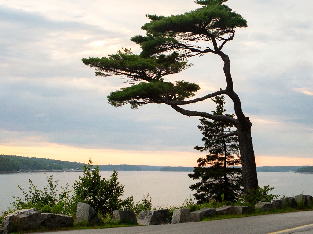
The first stop on Acadia's Earthcache Tour is Somes Sound.
W 68° 18.364’
Somes Sound has been the subject of increasing debate over the years. As indicated on the above exhibit, Somes Sound was once considered a fjord. As research continues, evidence indicates that the sound is technically a fjard.A fjord is a long, narrow, glacially eroded valley filled by seawater. Fjords reach depths of hundreds of meters and have steep rocky cliffs near the ocean. Characterized as a glacially carved embayment drowned by the sea, a fjard is smaller in many respects to a fjord. At 300 meters from the depths of the water to the tops of the mountains, Somes Sound is minor compared to fjords found in Norway, which reach more than 1,000 meters. Nearer to the mouth of Somes Sound and not far below the surface of the water lies a sill, a layer of igneous rock that is parallel to the existing bedrock. Unlike true fjords, the sill in Somes Sound is too small to interrupt the flow of water from the ocean into the sound.
Regardless of how it is classified, Somes Sound is a dramatic example of the raw power of glaciers.
N 44° 20.470’
W 68° _ _._45’
Coordinates
N 44° 19.110’W 68° 18.364’
Reading
Acadia’s glacial story begins with one of North America’s greatest examples of a glacier’s erosive power. Acting like a bulldozer, the glacier carved through the mountains before you, forming a deep valley.The distinctive contour of the U-shaped valley you see is commonly associated with glacial activity. As glaciers advance, they follow the path of least resistance. Because Somes Sound is bordered by fractured granite, it provided an easier path for glaciers to follow.Somes Sound has been the subject of increasing debate over the years. As indicated on the above exhibit, Somes Sound was once considered a fjord. As research continues, evidence indicates that the sound is technically a fjard.A fjord is a long, narrow, glacially eroded valley filled by seawater. Fjords reach depths of hundreds of meters and have steep rocky cliffs near the ocean. Characterized as a glacially carved embayment drowned by the sea, a fjard is smaller in many respects to a fjord. At 300 meters from the depths of the water to the tops of the mountains, Somes Sound is minor compared to fjords found in Norway, which reach more than 1,000 meters. Nearer to the mouth of Somes Sound and not far below the surface of the water lies a sill, a layer of igneous rock that is parallel to the existing bedrock. Unlike true fjords, the sill in Somes Sound is too small to interrupt the flow of water from the ocean into the sound.
Regardless of how it is classified, Somes Sound is a dramatic example of the raw power of glaciers.
Next Clue
According to the above exhibit, how deep is Somes Sound? To locate your next stop, place the missing numbers in the coordinates below.N 44° 20.470’
W 68° _ _._45’
Is there something we missed for this itinerary?
Itineraries across USA

Acadia

Arches National Park

Badlands

Big Bend

Biscayne

Black Canyon Of The Gunnison

Bryce Canyon

Canyonlands

Capitol Reef

Carlsbad Caverns

Channel Islands

Congaree

Crater Lake

Cuyahoga Valley

Death Valley

Dry Tortugas

Everglades

Gateway Arch

Glacier

Grand Canyon

Grand Teton

Great Basin

Great Smoky Mountains

Guadalupe Mountains

Haleakalā

Hawaiʻi Volcanoes

Hot Springs

Indiana Dunes

Isle Royale

Joshua Tree

Kenai Fjords

Kobuk Valley

Lassen Volcanic

Mammoth Cave

Mesa Verde

Mount Rainier

North Cascades

Olympic

Petrified Forest

Pinnacles

Rocky Mountain

Saguaro

Shenandoah

Theodore Roosevelt

Virgin Islands

Voyageurs

White Sands

Wind Cave

Yellowstone

Yosemite

Zion