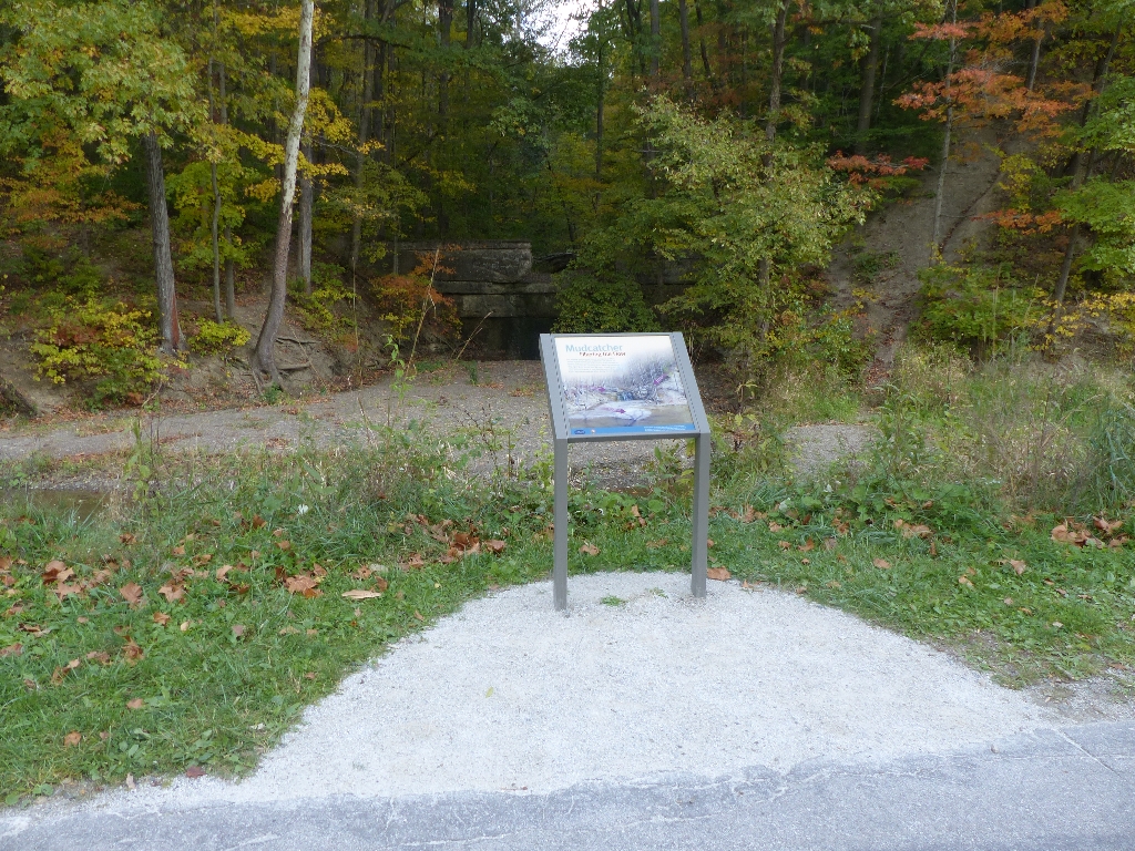
Maintaining a constant four feet of water in the Ohio & Erie Canal was a challenge. From the beginning, engineers struggled with too much or too little water. They built aqueducts and culverts where large streams crossed the manmade waterway. Some smaller, seasonal streams such as Gaulley Run were allowed to feed into the canal, replacing water lost to leaks and evaporation. Once farmers cleared trees from uplands fields and hillsides, erosion became a problem. Each year, maintenance crews used to dredge the canal to remove sediment swept in by storm water. This mudcatcher “caught” soil and debris floating in Gaulley Run and held it in a basin behind the wall. Since canal operations stopped, this basin has filled in. After heavy rains, mud and gravel flow over the opening and into the canal. Periodically, the National Park Service must dredge this section of canal. Look for accumulation under “Mudcatcher Falls.” This manmade waterfall flows during all but dry weather. A graphic panel explains the scene.
From here, visitors can travel north or south on the Towpath Trail. To the north, in less than a tenth of a mile, the Valley Trail veers off to the left. A half mile to the south, there are more engineering stories to explore, as well as restrooms, in the Station Road Bridge area.
Is there something we missed for this itinerary?
Itineraries across USA


