Changing Landscapes
Learn
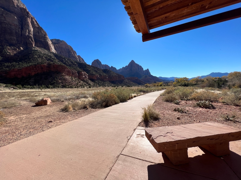
Rock layers of Zion Canyon are arranged in a way that allows water to travel through them. The desert sand dunes that formed the Navajo Sandstone layer contain wind-blown sand particles that have space in-between them. The ancient floodplain that formed the Kayenta layer is a mudstone that has tightly packed together particles. Water that is absorbed at the highest points of the canyon can travel through the Navajo Sandstone, but is not able to travel through the tightly packed mudstone particles of the Kayenta layer. Where these two rock layers meet, water is forced to travel sideways until it comes out of the rock face in the form of seeps and springs.
Look
Do you see any evidence of seeps and springs at the boundary of the Navajo Sandstone and Kayenta layer? Cottonwood trees and other water-loving plants are a good indication of a nearby water source.
Connect
Zion National Park is located along the edge of a region known as the Colorado Plateau. Here, the rock layers have been uplifted, tilted, and eroded, forming a feature called the Grand Staircase, a series of colorful cliffs stretching between Bryce Canyon and the Grand Canyon. Each rock layer of the Grand Staircase holds stories of ancient environments and inhabitants very different from those found here today. What stories will you uncover?
Is there something we missed for this itinerary?
Itineraries across USA


