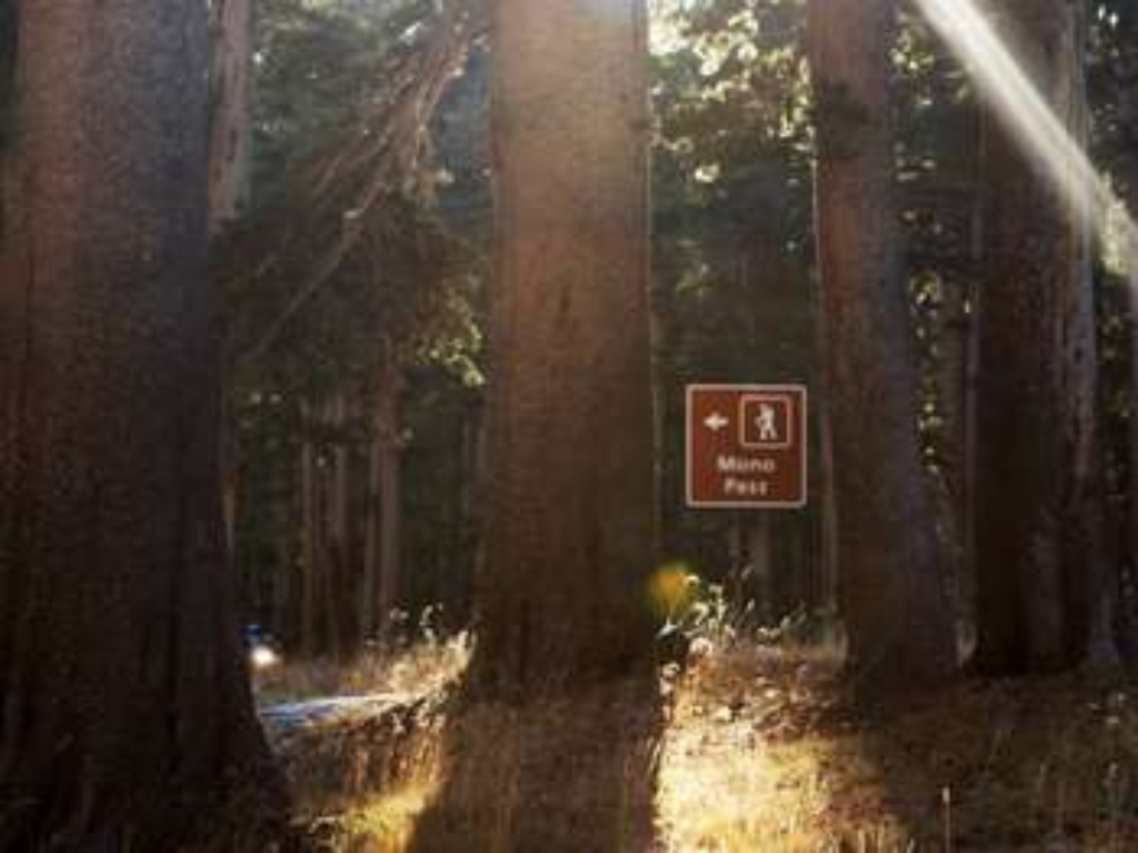
Follow the path of Yosemite's first people, over their trade route to the east.
This historic, trans-Sierra trail climbs gently at first from the Mono Pass parking area, through wet meadows and rushing creeks. At the Spillway Lake junction, the trail climbs steadily and more steeply to Mono Pass (elevation 10,600 feet). Don't miss the spectacular view of Mono Lake and Bloody Canyon: from the pass, hike a bit farther toward Upper Sardine Lake.
Mono Pass (moderately strenuous)
8 miles (12.9 km) round-trip; 4-6 hours
1,000 ft (305 m) elevation gain
Parker Pass is also accessible via this trailhead.
For hiking and trail information, please visit a wilderness center or visitor center.
Hours
Accessible only while Tioga Road is open to vehicles, from late May or early June to sometime in November.
Getting Here
Begin at Mono Pass trailhead, on Tioga Road, six miles east of Tuolumne Meadows.
Rules & Regulations
Stay on established trails
Pets are not allowed on hiking trails
Pack out what you pack in
Overnight backpackers need a wilderness permit, which can be obtained at the Yosemite Valley Wilderness Center.
Bear canisters are required for wilderness food storage for overnight hikers.
Bears and other wildlife can be present on trails at any time of the day or night. Feeding and approaching wildlife is dangerous and illegal! Be sure to properly store your food.
Tioga Road closes after the first significant snowfall. Overnight parking on this road ends October 15. For current road and weather information, please call 209/372-0200.
Hazards & Warnings
Carry (and drink) plenty of water: a leading cause of injuries on the trail is dehydration. Be sure to treat river, stream, lake, or spring water.
Always carry a map and compass, and know how to use them, and wear sturdy footwear with good traction.
Be prepared for sudden changes in weather and conditions.
Accessibility
This trail is not accessible.
Is there something we missed for this itinerary?
Itineraries across USA


