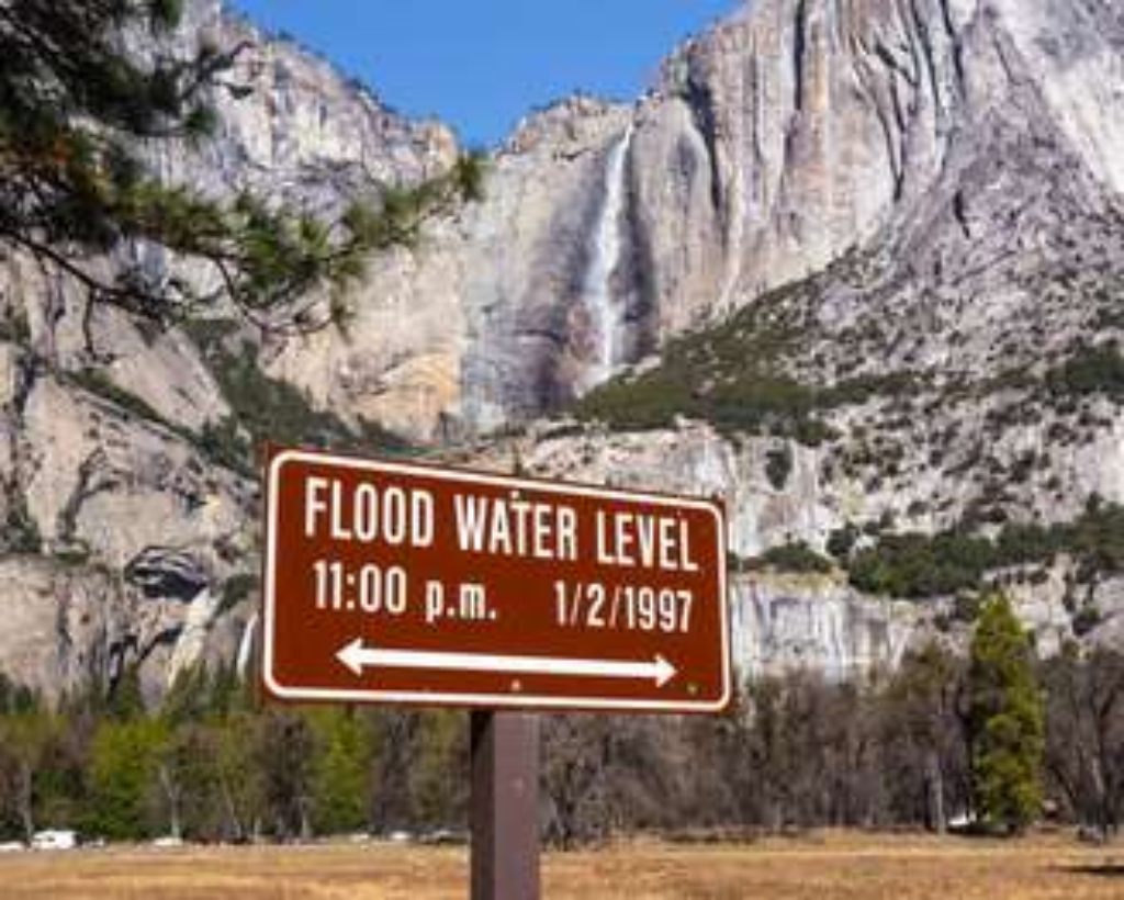
Hi, this is Greg Stock, Yosemite's park geologist. I'd like to share some fun facts about Yosemite's geology that I hope will increase your appreciation for the natural beauty all around you.
Let's begin by observing the sign before you that shows the floodwater level on January 2, 1997. The horizontal line on that sign marks the height of water during the largest and most damaging flood in Yosemite's recorded history. In your mind, extend that line across the valley and imagine floodwaters spread almost wall to wall. We will talk more about this flood at another stop, but let this image set the stage as we explore how natural forces shape Yosemite National Park.
Is there something we missed for this itinerary?
Itineraries across USA

Acadia

Arches National Park

Badlands

Big Bend

Biscayne

Black Canyon Of The Gunnison

Bryce Canyon

Canyonlands

Capitol Reef

Carlsbad Caverns

Channel Islands

Congaree

Crater Lake

Cuyahoga Valley

Death Valley

Dry Tortugas

Everglades

Gateway Arch

Glacier

Grand Canyon

Grand Teton

Great Basin

Great Smoky Mountains

Guadalupe Mountains

Haleakalā

Hawaiʻi Volcanoes

Hot Springs

Indiana Dunes

Isle Royale

Joshua Tree

Kenai Fjords

Kobuk Valley

Lassen Volcanic

Mammoth Cave

Mesa Verde

Mount Rainier

North Cascades

Olympic

Petrified Forest

Pinnacles

Rocky Mountain

Saguaro

Shenandoah

Theodore Roosevelt

Virgin Islands

Voyageurs

White Sands

Wind Cave

Yellowstone

Yosemite

Zion