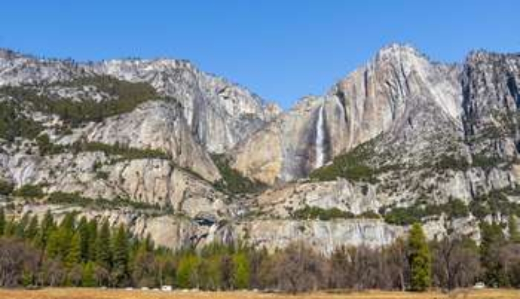
As you made your way to this stop you surely noticed one of the most iconic features in Yosemite; the cascading waterfalls of Upper and Lower Yosemite Falls. Together these waterfalls plunge a total of 2,425 feet, or about 740 meters, making Yosemite Falls one of the tallest waterfalls in the world. Yosemite Falls is unlike other waterfalls in Yosemite and the Sierra Nevada. To illustrate what makes Yosemite Falls so different, we'll have to travel back in time hundreds of thousands of years to a time when glaciers filled Yosemite Valley to the rim.
Glaciers are masses of ice that form from the accumulation of snow, and that flow downhill under their own weight. As they move, glaciers scrape and pluck at the bedrock, excavating and transporting huge amounts of sediment. When glaciers melt, they drop the rocky debris they had been carrying in mound-like ridges called moraines.
There have been many glacial periods over the last few million years, glaciers repeatedly advanced into Yosemite Valley from the high country and then retreated back. The most recent time that a glacier occupied Yosemite Valley was about 20,000 years ago. At that time, the glacier extended to as far west as Bridal Veil Fall and reached about two-thirds of the way up the cliffs. Earlier glacial periods were larger, with glaciers extending west as far as the town of El Portal and reaching the rim of Yosemite Valley.
Hundreds of thousands of years ago, Yosemite Creek didn't leap directly off the cliff, but rather cascaded down the steep gully that you can see to the left of the falls. What caused the creek to shift position? We can't see it from here, but behind Yosemite Falls there is a moraine left behind by one of those ancient glaciers. The moraine diverted the Yosemite Creek from its path down the steep gully and forced it directly off the cliff. This unique geological accident created one of the tallest waterfalls in the world and one of the most iconic features in Yosemite.
As you walk to the next stop make some observations about the ground surface that surrounds the trail.
Is there something we missed for this itinerary?
Itineraries across USA


