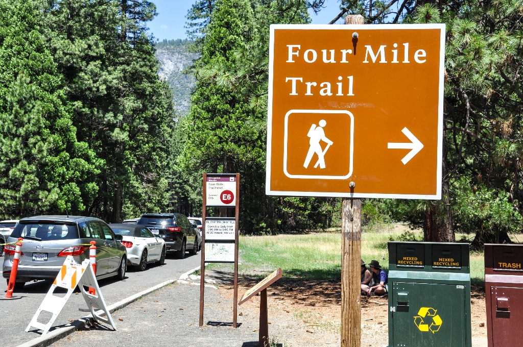
Awe-inspiring views of Yosemite Falls and Yosemite Valley await hikers on this trail to Glacier Point.
The Four Mile Trail has no lack of views; El Capitan and the Cathedral Rocks tower to the west, while Yosemite Falls plummets in the north and Half Dome looms eastward. The Four Mile Trail ends at Glacier Point, where restrooms, parking, and a snack stand (summer only) are available. You can choose to hike back to Yosemite Valley by reversing your route, or by continuing on the Panorama Trail, which brings you to the Happy Isles Trailhead in another 8.5 miles (13.7 km).
Four Mile Trail (Strenuous)
- 4.8 mile (7.7 km) one way, 3-4 hours
- 9.6 mi (15.5 km) round trip, 6-8 hours
- 3,200 feet (975 m) elevation gain
Hours
The Four Mile Trail typically opens sometime in May and closes below Union Point after significant snow accumulation (usually by November or December). The entire trail typically closes in winter. When partially closed, only the lower three miles (5 km) are open to the gate below Union Point. Good views of Yosemite Valley are still possible, although Glacier Point and Union Point would not be accessible. This lower section is also very icy and slippery during winter and early spring. View current conditions for trail closures.
Getting Here
Begin at the Four Mile Trailhead along Southside Drive in Yosemite Valley. It is also serviced by the Valleywide Shuttle at stop #11.
Rules & Regulations
- Stay on established trails
- Pets are not allowed on hiking trails
- Pack out what you pack in
Hazards & Warnings
- Carry (and drink) plenty of water: a leading cause of injuries on the trail is dehydration. Be sure to treat stream or spring water.
- Always carry a map and compass, and know how to use them, and wear sturdy footwear with good traction.
- Be prepared for sudden changes in weather and conditions.
Accessibility
This trail is not accessible.
Is there something we missed for this itinerary?
Itineraries across USA


