Spearfish Formation: Permian and Triassic
Inyan Kara Group: Cretaceous and Jurassic
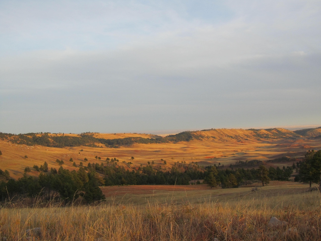
The distance is 8.4 miles from Stop #6 to Stop #7. Continue north on route 87 for 4.4 miles. Just before you enter Custer State Park, turn onto a gravel road called NPS 5. Drive 4 miles to a lone pine tree on the right side of the road. Park at the gravel parking area to the left. Look to the valley below.
The Spearfish Formation is composed of red shales and siltstones, both are extremely fine grained sedimentary rocks. The red color comes form iron oxides. The Spearfish Formation is often called Red Valley. The shales and siltstones have formed a valley because they are easily eroded in the semi-arid Black Hills climate.
The Inyan Kara Group consists of iron rich sandstones and claystones that form the hogback ridge that defines the outer rim of the Black Hills.
If you want, take a walk toward the valley. Can you see evidence that water has eroded the shales and siltstones?
As the last stop on the geology driving tour, you are invited to continue your drive through the park. Driving north along NPS 6 will take you along Red Valley into Custer State Park. Alternatively, continuing south on NPS 5 will take you out of the park to 7-11 Road (Custer County Road 101). You can also explore the park's geology up close by hiking one of Wind Cave's many trails.
Is there something we missed for this itinerary?
Itineraries across USA

Acadia

Arches National Park

Badlands

Big Bend

Biscayne

Black Canyon Of The Gunnison

Bryce Canyon

Canyonlands

Capitol Reef

Carlsbad Caverns

Channel Islands

Congaree

Crater Lake

Cuyahoga Valley

Death Valley

Dry Tortugas

Everglades

Gateway Arch

Glacier

Grand Canyon

Grand Teton

Great Basin

Great Smoky Mountains

Guadalupe Mountains

Haleakalā

Hawaiʻi Volcanoes

Hot Springs

Indiana Dunes

Isle Royale

Joshua Tree

Kenai Fjords

Kobuk Valley

Lassen Volcanic

Mammoth Cave

Mesa Verde

Mount Rainier

North Cascades

Olympic

Petrified Forest

Pinnacles

Rocky Mountain

Saguaro

Shenandoah

Theodore Roosevelt

Virgin Islands

Voyageurs

White Sands

Wind Cave

Yellowstone

Yosemite

Zion