Theodore Roosevelt National Park was a very different place 65 million years ago. Just after the extinction of the dinosaurs, the Rocky Mountains were forming in the west and the land where the park now sits was a flat, swampy delta. Champsosaurus gigas, a crocodile-like predator hunted in the water, where turtles, snails, clams and more lived. And all around grew massive trees like sequoia, bald cypress, and magnolia.
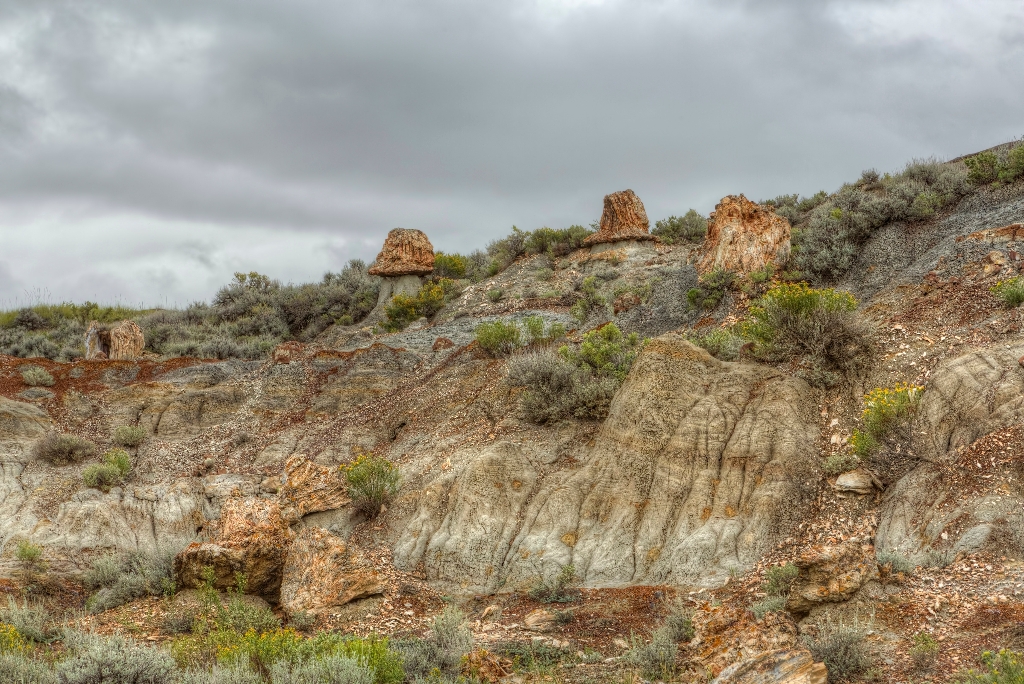
These trees are still around today if you know where to look. Quickly buried by sediments washed down from the growing Rockies, the trees didn’t decompose, instead undergoing a process called petrification: water washed through the mineral rich sediments surrounding the buried trees and these minerals slowly replaced the organic compounds inside the trunks. As the badlands eroded, these petrified remnants were slowly exposed.
The petrified forest in Theodore Roosevelt National Park contains the third highest concentration of petrified wood in the United States, after Petrified Forest National Park and Yellowstone National Park.
The southern section of the petrified forest has slightly fewer stumps than the northern section, but offers dramatic views of the wilderness to the southeast, where elk are frequently seen.
It is illegal to remove any resource from a national park. Leave any flower, stone, or other object where you find it so that other visitors can enjoy it as well.
It is illegal to carve, paint, or otherwise alter anything in a national park.
Directions to the Petrified Forest Trailhead
The petrified forest trailhead is located on the western boundary of the park. The drive from Medora to the trailhead is approximately 30 minutes on gravel roads. There are small signs indicating turns, but turn-by-turn instructions are below:
-
Take I-94 westbound to exit 23. At the end of the exit ramp, turn right on Forest Service Road 730. Travel 2.7 miles.
-
Turn left to stay on 730. Travel 2.5 miles. You will pass a "Private Road" sign; you can continue.
-
Turn right on Road 730-2. In 150 yards, take the first left.
-
At the next "Y", veer left, continue 0.6 miles to the parking area.
-
The trail starts at the lift gate beyond the trailhead sign.
Is there something we missed for this itinerary?
Itineraries across USA


