From March 1 - November 30, visitors to Old Rag Mountain, including hikers on the Saddle, Ridge, and Ridge Access trails, will need to obtain an Old Rag day-use ticket in advance, in addition to a Park entrance pass. Find out more information on our Old Rag day-use ticket FAQ page.
Pets are not allowed on this hike.
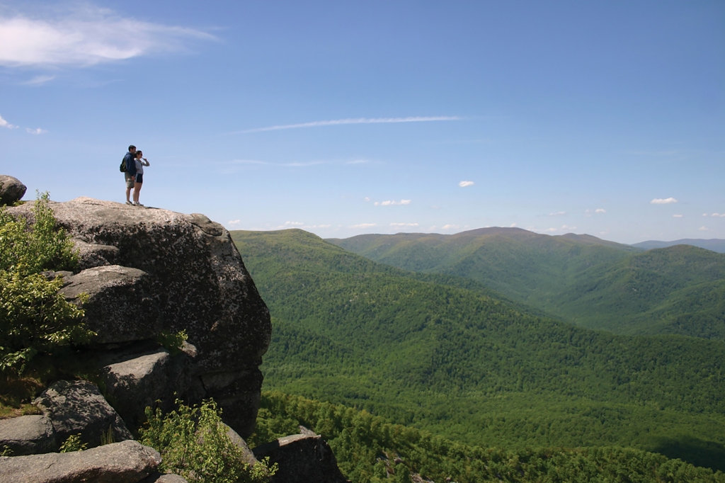
Featuring an adventurous rock scramble and a 360-degree view that makes you feel like you're on top of the world, there's no wonder why Old Rag is the most popular destination in Shenandoah National Park. While highly rewarding, hiking to the summit is also very physically demanding and can be dangerous if you have not planned properly, so be sure to check out our Old Rag planning guide before you lace up your boots!
Distance: 9.4-mile circuit hike
Difficulty: Very Strenuous (hiking difficulty scale)
Hiking Time: 7 hours 30 minutes
Elevation Gain: 2,348 feet
Hike Description
- From the Old Rag parking area at the Park boundary, take the blue-blazed Ridge Trail.
- Continue along the Ridge Trail, across the rock scramble and descend on the Saddle Trail (blue-blazed), which becomes a fire road after you pass Old Rag Shelter.
- At the T-intersection, go right and immediately right again at the fork onto Weakley Hollow Fire Road (yellow-blazed).
- Turn right onto the Ridge Access Trail and then left onto the Ridge Trail to return to your starting point.
Directions to Old Rag Parking Area from Sperryville: From Route 211, turn onto Route 522 and follow it south for 0.8-mile. Turn right on Route 231, follow 8 miles, turn right onto Route 601 and follow signs to the Old Rag parking area, approximately 3 miles.
Directions to Old Rag Parking Area from Madison: From Route 29 Business, turn onto Route 231 and follow it for 12.8 miles. Turn left onto Route 602. Follow signs for the parking area. Old Rag parking is approximately 3 miles from the turn onto Route 602.
Is there something we missed for this itinerary?
Itineraries across USA


