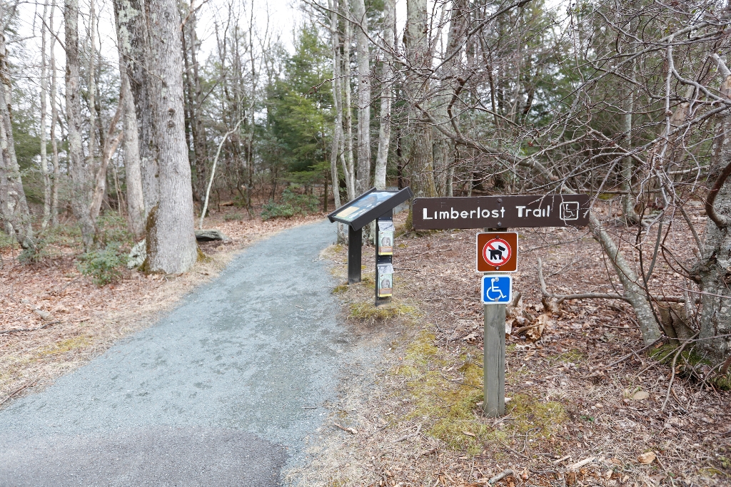
Pets are not allowed on this hike. An ADA accessible path through the forest with mountain laurel in the springtime and an example of a columnar jointing geological feature. Limberlost is a fully accessible trail (see more specific information below).
This hike is also a designated TRACK Trail, featuring a self-guided brochure and informational sign that turns your visit into a fun and exciting outdoors experience for kids of all ages. To find out more information about TRACK Trails and to log your adventure,visit the Kids in Parks website.
Distance: 1.3-mile circuit hike
Difficulty: Easiest (explanation of our hiking difficulty scale)
Hiking Time: 1 hour 30 minutes
Elevation Gain: 130 feet
Hike Description
- From the trailhead at the Limberlost Parking Area (mile 43), take the trail to the right of the trailhead and follow the greenstone path.
- Stay on the path to loop back around to your starting point.
Accessibility Information
Length: 2338.3 yards/2138.1 meters
Surface Type: primarily crushed greenstone
Typical Tread Width: 5 feet/1.5 meters
Minimum Tread Width: 2.7 feet/.8 meters
Typical Running Slope: 3.5%
Maximum Running Slope: 10.3%
Typical Cross Slope: 1.6%
Maximum Cross Slope: 5.0%
Is there something we missed for this itinerary?
Itineraries across USA


