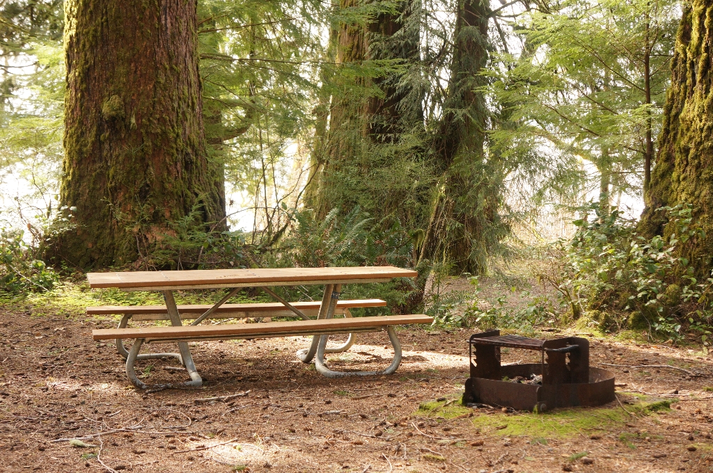
July Creek Picnic Area has a short trail to tables for a picnic with a view on the North shore of Lake Quinault.
Full Accessibility Description
Length: 1,020 feet, .19 milesSurface Type: Compacted gravel
Typical Trail Width: 3-5 feet
Typical Running Slope: Steep entry and exit from picnic area with grades up to 13%; grades below 7% in picnic area; level return to parking area on reaching road
Typical Cross Slope: Less than 1% (some sections of trail heavily crowned)
Accessible Parking: Van-accessible parking in parking area
Description: Formerly a campground, the July Creek Picnic Area contains outstanding examples of large Douglas-fir trees, 6 feet in diameter and larger. There is a handicap parking space directly in front of the trail. The loop trail leaves from the center of the parking area, with a 2-inch lip at the curb ramp. There is a 25-foot uphill slope at 10% grade before the trail starts downhill to the picnic area. The first 40 feet of the descent are steep, with 10-13% grade. The descent becomes gradually gentler for the next 120 feet before reaching the picnic area. There are two picnic sites to the right at the bottom of the hill. The trail continues to the left at a very gentle grade, and at 225 feet a bridge crosses over July Creek.
The trail is fairly level for the next 200 feet, then begins to climb back towards North Shore Road. At 420 feet, there is a brief section at 10-12%, then the grade drops under 7% until the last 50 feet up to the road which is again at 10-13%. At 650 feet, the trail meets the road and then runs along the road for 220 feet to return to the parking lot. Once back at the parking lot, follow the sidewalk back to the starting point.
Is there something we missed for this itinerary?
Itineraries across USA

Acadia

Arches National Park

Badlands

Big Bend

Biscayne

Black Canyon Of The Gunnison

Bryce Canyon

Canyonlands

Capitol Reef

Carlsbad Caverns

Channel Islands

Congaree

Crater Lake

Cuyahoga Valley

Death Valley

Dry Tortugas

Everglades

Gateway Arch

Glacier

Grand Canyon

Grand Teton

Great Basin

Great Smoky Mountains

Guadalupe Mountains

Haleakalā

Hawaiʻi Volcanoes

Hot Springs

Indiana Dunes

Isle Royale

Joshua Tree

Kenai Fjords

Kobuk Valley

Lassen Volcanic

Mammoth Cave

Mesa Verde

Mount Rainier

North Cascades

Olympic

Petrified Forest

Pinnacles

Rocky Mountain

Saguaro

Shenandoah

Theodore Roosevelt

Virgin Islands

Voyageurs

White Sands

Wind Cave

Yellowstone

Yosemite

Zion