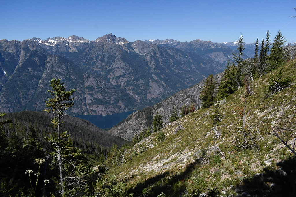
Purple Creek Trail rises steeply through the ponderosa pine forest, where you get glimpses of the lake and surrounding peaks as you climb higher. The lower areas of this drainage burned in the Flick Creek Fire of 2006. A great shorter day hike destination and viewpoint of Lake Chelan is 1.8 miles (2.9 km) and 1,400 feet (425 m) of elevation gain from the trailhead.
Purple Pass is a steep 7.5 miles (12 km) from the trailhead. Take a side trail a few minutes after the pass to climb an additional one-half mile (0.8 km) and 450 feet (140 m) for a spectacular 360-degree view of the entire area at Boulder Butte. The main trail continues on a gentle descent one-half mile (0.8 km) to the basin of Lake Juanita, a shallow reedy lake surrounded by meadows and clumps of larch and subalpine fir. The Purple Creek Trail connects to additional backcountry destinations, including Boulder Creek Trail and the Summit Trail.
The only water sources are Purple Creek 1.5 miles (2.4 km) into the hike and at Lake Juanita past Purple Pass; plan on carrying all the water you need and/or filtering water you find. In most years, Purple Pass is under snow until early July.
Detailed trail description.
-
Difficulty: Strenuous
-
Distance and elevation: Purple Pass is 7.5 miles (12 km) from the trailhead, with 5,800 feet (1,770 m) elevation gain.
-
Access: From Stehekin Landing, walk five minutes up past the Golden West Visitor Center. Trailhead is located just behind the Visitor Center. Begin on the Imus Creek Loop and look for the turn off for Purple Creek about a quarter mile in. Purple Creek Trail connects to other trails at War Creek Pass, about a half mile (0.6 km) from Purple Pass.
-
Leashed dogs allowed.
-
Backcountry camping is available at Juanita Lake; backcountry permit required. No fires allowed.
Is there something we missed for this itinerary?
Itineraries across USA


