A steep, rugged climb to sweeping views of surrounding valleys and mountain peaks. The trail climbs moderately to Howard Lake before it starts to switchback relentlessly. The hike is mostly forested in the beginning, with rocky outcrops offering occasional views. A good viewpoint lies approximately 2.9 miles (4.7 km) and a 2,100 foot climb (640 m) up on the trail from High Bridge, providing a great day-hiking destination.
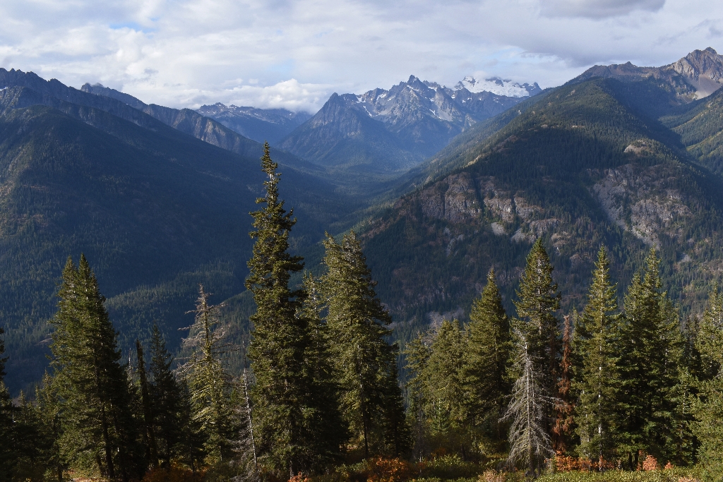
As you continue upward, the forest eventually begins to thin, giving way to talus slopes and more views. Seven miles (11.3 km) up the trail, Heaton Camp lies in a subalpine forest at 7,000 feet (2,130 m). Hikers who make it to this elevation can enjoy a bird's eye view of the Stehekin River Valley and the surrounding peaks, with all of the Glacier Peak Wilderness rising to the south.
From Heaton Camp the trail continues for a short distance for continued great views, then the trail ends at an enormous talus slope. The summit looms 1,000 feet (330 m) above. Reaching the summit requires a hand-and-foot scramble up the talus slope and along exposed rocky ledges. Route-finding skills are essential. The most used route starts at the top of the talus field to the left of the summit. Look for faint, intermittent red arrows painted on the rocks marking the best way to proceed. A radio repeater is visible on the summit, providing a good landmark for those attempting to negotiate the summit route.
To attempt the entire hike as a day trip, consider camping at High Bridge or Tumwater camps, backcountry permit required, before or after your trip. Shuttle layover times may not give most hikers time to complete the hike.
The top 2 miles (3 km) may be under snow until August; check with rangers for current conditions. Late in the season, there is little water after around mile six.
Detailed trail description.
-
Difficulty: Strenuous
-
Distance and elevation: 7.5 miles (12.0 km) one way with 5,700 feet (1,740 m) elevation gain to end of trail. An additional 1,000 foot scramble is required to reach the summit.
-
Access: Trailhead is near High Bridge, 11 miles from Stehekin Landing. From High Bridge, take the Pacific Crest Trail north to Howard Lake. Look for the turn-off for the McGregor Mountain Trail just after the lake.
-
Leashed dogs allowed.
-
Backcountry camping is allowed at Heaton Camp, at mile 7.0; backcountry permit required.
Is there something we missed for this itinerary?
Itineraries across USA


