Season: Summer
Paradise is open year-round, but this orientation guide is designed for the summer season when trails are snow-free. In spring and fall, there may be patches of snow covering sections of trail. Please stay on trails, even if it means crossing snow, to avoid trampling delicate meadow plants. Pets are not allowed on trails.
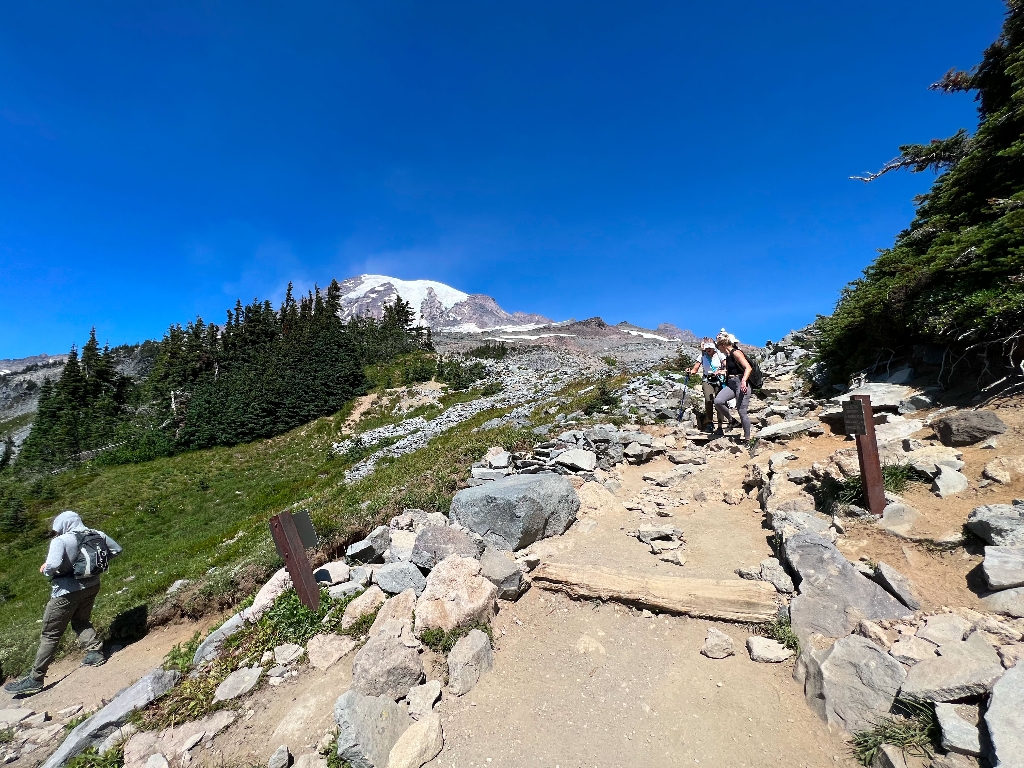
This location is the junction of East Skyline Trail & Upper Golden Gate Trail. The summit of Mount Rainier is located to the north of this junction.
- East Skyline Trail is oriented north-south at this intersection, with the uphill trail to the north when facing Mount Rainier, and the downhill trail heading south.
- Golden Gate Trail goes downhill to the southwest, connecting to Myrtle Falls and Paradise. This trail is a popular alternative for those looking to cut some distance off the full Skyline loop.
How Far Is It?
- Panorama Point via Skyline Trail: 0.9 miles, average walking time 35 minutes heading north up the Skyline Trail.
- Paradise via Golden Gate Trail: 1.5 miles, average walking time 58 minutes.
- Paradise via Skyline Trail 2.5 miles, average walking time 1 hour 37 minutes, heading south down the Skyline Trail.
For additional information, download the Paradise Area Trails Map.
Is there something we missed for this itinerary?
Itineraries across USA

Acadia

Arches National Park

Badlands

Big Bend

Biscayne

Black Canyon Of The Gunnison

Bryce Canyon

Canyonlands

Capitol Reef

Carlsbad Caverns

Channel Islands

Congaree

Crater Lake

Cuyahoga Valley

Death Valley

Dry Tortugas

Everglades

Gateway Arch

Glacier

Grand Canyon

Grand Teton

Great Basin

Great Smoky Mountains

Guadalupe Mountains

Haleakalā

Hawaiʻi Volcanoes

Hot Springs

Indiana Dunes

Isle Royale

Joshua Tree

Kenai Fjords

Kobuk Valley

Lassen Volcanic

Mammoth Cave

Mesa Verde

Mount Rainier

North Cascades

Olympic

Petrified Forest

Pinnacles

Rocky Mountain

Saguaro

Shenandoah

Theodore Roosevelt

Virgin Islands

Voyageurs

White Sands

Wind Cave

Yellowstone

Yosemite

Zion