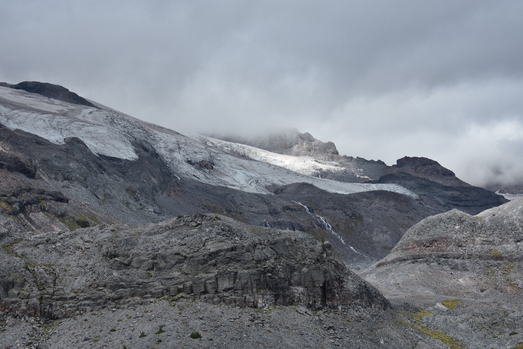
Nearly a century ago, one of the main attractions in the park was the Paradise-Stevens Glacier area. At that time, Paradise-Stevens Glacier was riddled with ice caves and crevasses and was within easy walking distance of major roads. An 1896 map of the glacier places its terminus within 0.6 mile (1 km) of Sluiskin Falls. However, by the 1970s the glacier area had decreased to less than 50% of its 1896 area and separated into two small segments of stagnant ice (glacier ice no longer in motion). The rapid melting of the ice left behind a large area strewn with boulders and rubble carried by the glacier and its meltwater streams, providing visitors with an uncommon opportunity to observe the rock features at the bed of a glacier.
In 2023, the Stevens Glacier was officially removed from the Park’s inventory, due to its lack of features indicating flow, and therefore is no longer a glacier but instead a perennial snowfield.
Viewing Paradise-Stevens Glacier: From Paradise, take the Skyline Trail counter-clockwise for 1.8 miles to the junction with the Paradise Glacier Trail. This trail offers views of the Paradise-Stevens Glacier and continues for 1 mile until it ends at an “End of Maintained Trail” sign.
Paradise Glacier Statistics as of 2021 (Beason et al., 2023):
- A0.224 ± 0.014 square miles (0.581 ± 0.035 km2) (Rank: 21 of glaciers on Mount Rainier)
- Highest Elevation (Head): 8,425 feet (2,568 m)
- Lowest Elevation (Terminus): 6,850 feet (2,088 m)
- Elevation Range: 1,575 feet (480 m)
- Length: 0.41 miles (0.65 km)
- Average Slope: 24.07°
- Average Flow Direction (direction the glacier flows towards): East southeast (124°)
- Glacier Type: C - Cirque Glacier, or Glacier Head Starts Below Summit
Is there something we missed for this itinerary?
Itineraries across USA


