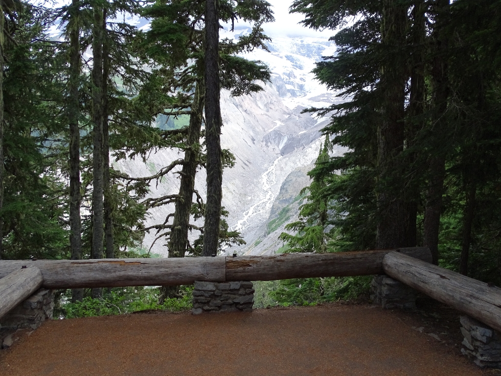
Rising to 14,410 feet (4,394 m), Mount Rainier is the tallest of the Cascade volcanoes and one of the most massive mountains on Earth. Throughout its history, Mount Rainier has erupted a series of lava flows which piled atop one another like layers (or strata), giving Mount Rainier the classification of "stratovolcano". At one point, these layers built the mountain up to a height of about 16,000 feet. Due to its height and periods of colder climates, ice covered the mountain, causing erosion and redirecting lava flows.
Mount Rainier erupted thick lava which flowed repeatedly like hot tar, filling the deep canyons around the vent. When glaciers were present during eruptions, the massive bodies of ice influenced the path of lava flows. Where in direct contact with lava, glaciers could cause the molten liquid to cool so quickly that it sometimes formed fragmented columns (an example of these columnar joints can be found just below this overlook). In turn, the lava would melt snow and ice in its path, causing floods and mudflows to course down the flanks of the mountain. Lava flows that resisted erosion now form ridge tops extending from the mountain summit. The ground beneath you here is one of these ancient lava flows.
During the last 10,000 years, huge masses of rock have repeatedly slid from the volcano, reducing the cone height by more than 1,000 feet and reducing its bulk by one third. This left a gaping depression in the east face of the mountain top. In the last 2,000 years, Mount Rainier has partially rebuilt itself by repeated eruptions. A new cone of andesite lava now tops the summit depression. Steam vents in the craters still melt caves under the summit ice cap.
With internet access, dive deeper into the volcanic history of Mount Rainier here:
Volcanoes.
Is there something we missed for this itinerary?
Itineraries across USA


