Title: A Changing Landscape
Main Text
Here at Kautz Creek, the landscape looks different than at the park entrance or at Longmire. The trees are less dense, a result of thundering mudflows from Mount Rainier that scour the landscape. You may have noticed while driving here, that you traveled uphill to reach this flat area of the valley. This is a result of multiple mudflows creating a huge mound of mud.
Considered one of the most dangerous active volcanoes in the world, Mount Rainier has been the source of numerous mudflows, covering large portions of the Puget Sound lowlands.
Secondary Text
"The bridge and surrounding group was shaking like an earthquake. The water level of Kautz Creek was rising at an alarming rate, and when we left, logs were striking the abutments and flying right over the bridge."
- Assistant Superintendent Harthon Bill, 1947
Exhibit Panel Description
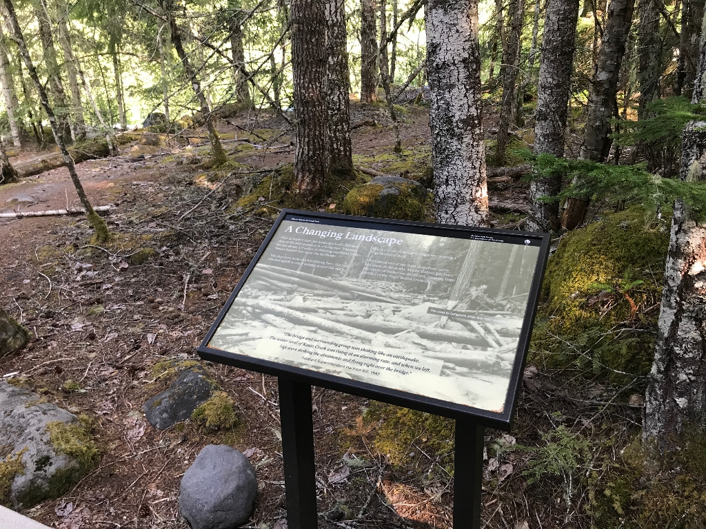
A single monochromatic photo fills the exhibit panel. The photo shows a roadway through a forest. The entire roadway is deeply filled with mud, large boulders, and numerous fallen trees and broken branches. A caption in the middle of the photo on the right edge of the panel, reads: "The road to Longmire after the 1947 mudflow." The main text stretches across the top half of the photo, with the quote text centered in a white box at the bottom of the exhibit panel.
Visit This Exhibit Panel
From the Kautz Creek parking lot, cross the road to the Kautz Creek Nature Trail. Kautz Creek, open year-round, is located three miles east of the Nisqually Entrance in the southwest corner of the park along the road to Longmire.
Is there something we missed for this itinerary?
Itineraries across USA


