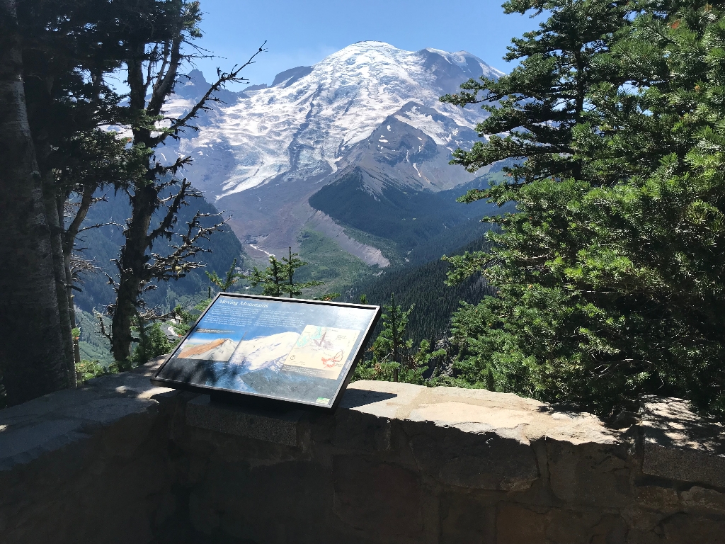
Title: Moving Mountains
Main Text
About 5,600 years ago, the entire summit and northeast face of Mount Rainier fell away suddenly in a massive landslide accompanied by volcanic explosions. Called the Osceola Mudflow, it was the largest mudflow originating from Mount Rainier in the last 10,000 years.
The towering wall of mud and rock thundered down the valley at up to 50 miles per hour, temporarily filling the White River Valley with up to 600 feet of rock, clay, water, and ice. As the mudflow left the mountains, it spread out to form the Enumclaw Plain and plunged into Puget Sound.
The Osceola Mudflow destroyed the top of Mount Rainier, lowering it by as much as 1,000 feet. Since that time, at least five immense landslides have sent massive mudflows down Mount Rainier, while eruptions of lava quickly filled the huge crater left by the Osceola collapse.
Secondary Text
Powerful mudflows have swept down Mount Rainier repeatedly, perhaps without warning. Because of the hazard surrounding communities face from catastrophic mudflows, scientists have ranked Mount Rainier the most hazardous volcano in the lower 48 states.
Exhibit Panel Description
A single photo of Mount Rainier and the White River Valley fills the exhibit panel, with the text stretching across the top third of the photo. From the summit, the Emmons Glacier descends the mountain, filling the whole width of the valley. A small photo overlays the background photo on the left side under the main text, showing a graphic of the volcano summit. The summit and left side of the volcano in the graphic has collapsed into a mudflow. Text above the graphic reads: "This image illustrates how Mount Rainier would likely have appeared after the Osceola Mudflow." On the right side of the panel is a small map showing Mount Rainier and the surrounding region. A brown shape labeled "Osceola Mudflow area" covers an area that flows from the northeast side of the mountain, curving around the north side of the mountain to the west before spreading out around the towns of Enumclaw and Buckley before flowing through the towns of Puyallup, Sumner, Pacific, Auburn, and Kent to reach Puget Sound. Text under the map reads: "The Osceola Mudflow covered about 212 square miles of Puget Sound lowland, extending at least as far as the Seattle suburb of Kent and the Port of Tacoma." A small box in the lower right corner of the panel reads "User Fee Project. Your Fee Dollars at Work. Entrance fees were used to produce this exhibit".
Visit This Exhibit Panel
From the Sunrise parking lot, take the short walk down to the second of the Emmons Vista Overlooks. The trail starts from the left side of the parking lot as you look towards the Sunrise Visitor Center where you may also pick up a trail map. Sunrise Road is open to vehicles during the summer only, typically from early July to mid-September.
Is there something we missed for this itinerary?
Itineraries across USA


