Title: Emmons Glacier - River of Ice
Main Text
Emmons Glacier has the largest surface area - 4.3 square miles - of any glacier in the lower 48 states. Can you see the terminus of the glacier? It's almost hidden beneath rocks and debris, so it can be hard to spot. In 1963, a rockfall from Little Tahoma Peak covered the lower glacier with debris, which continues to insulate the ice from melting. As a result of decreased melting, the glacier advanced rapidly in the mid-1960s and repeatedly in the following decades.
Secondary Text
A glacier advances when more snow accumulates than is lost. Snow compresses to ice, and debris collects on the glacier. When the terminus and the sides of the glacier recede due to melting, they leave behind piles of rubble called terminal and lateral moraines.
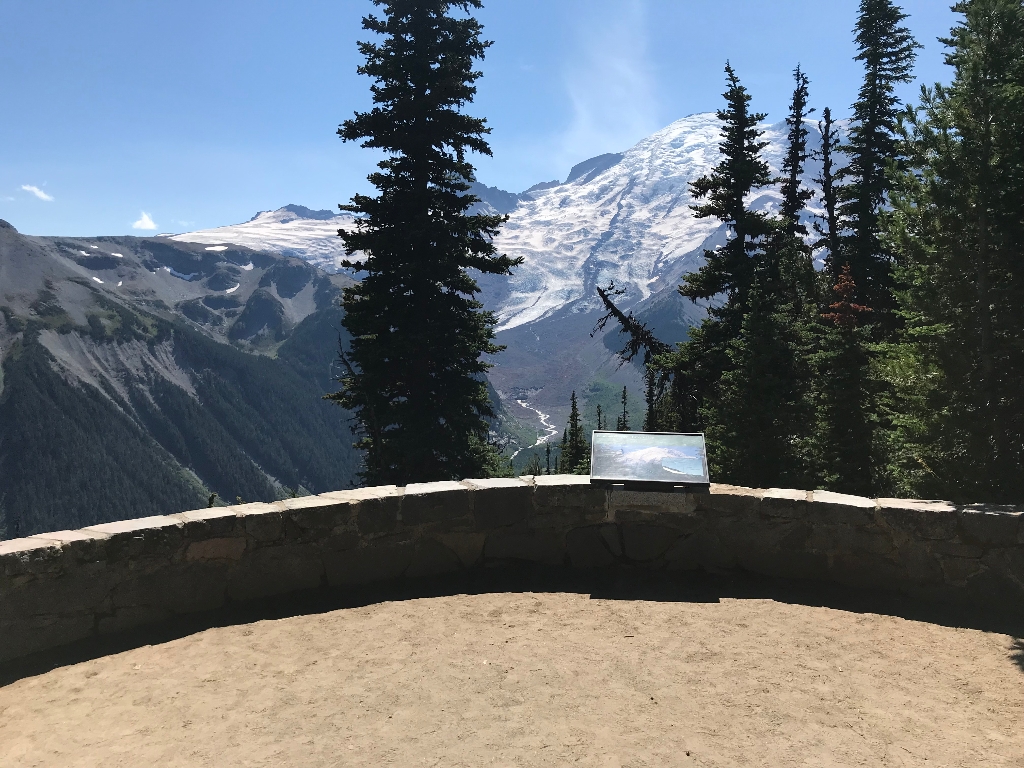
Exhibit Panel Description
A single photo of Mount Rainier and the White River Valley fills the bottom two thirds of the exhibit panel, with the text stretching across the top third against a green background. From the summit, the Emmons Glacier descends the mountain, filling the whole width of the valley, before ending in a rock-covered terminus where a river emerges. A large bank of rubble on the right side of the valley is labeled "lateral moraine", while a hummock of debris downstream from the terminus is labeled "terminal moraine". A large rocky peak on the left flank of the mountain, above the Emmons Glacier, is labeled "Little Tahoma". A smaller image overlays the right side of the photo. It shows a side-profile graphic of a glacier on a mountain slope, with a dotted white line marking a point halfway down the glacier. The section above the dotted line (uphill side) is labeled "accumulation zone", while the section below the line (downhill side) is labeled "ablation (melting) zone". A lateral moraine, terminus, and terminal moraine are also labeled on the graphic. Text above the graphic reads: "Climate affects the health of glaciers. If the right conditions exist - a period of cooling and/or increased precipitation - glaciers will advance." A small box in the lower left corner of the panel reads "User Fee Project. Your Fee Dollars at Work. Entrance fees were used to produce this exhibit".
Visit This Exhibit Panel
From the Sunrise parking lot, take the short walk down to the first of the Emmons Vista Overlooks. The trail starts from the left side of the parking lot as you look towards the Sunrise Visitor Center where you may also pick up a trail map. Sunrise Road is open to vehicles during the summer only, typically from early July to mid-September.
Is there something we missed for this itinerary?
Itineraries across USA


