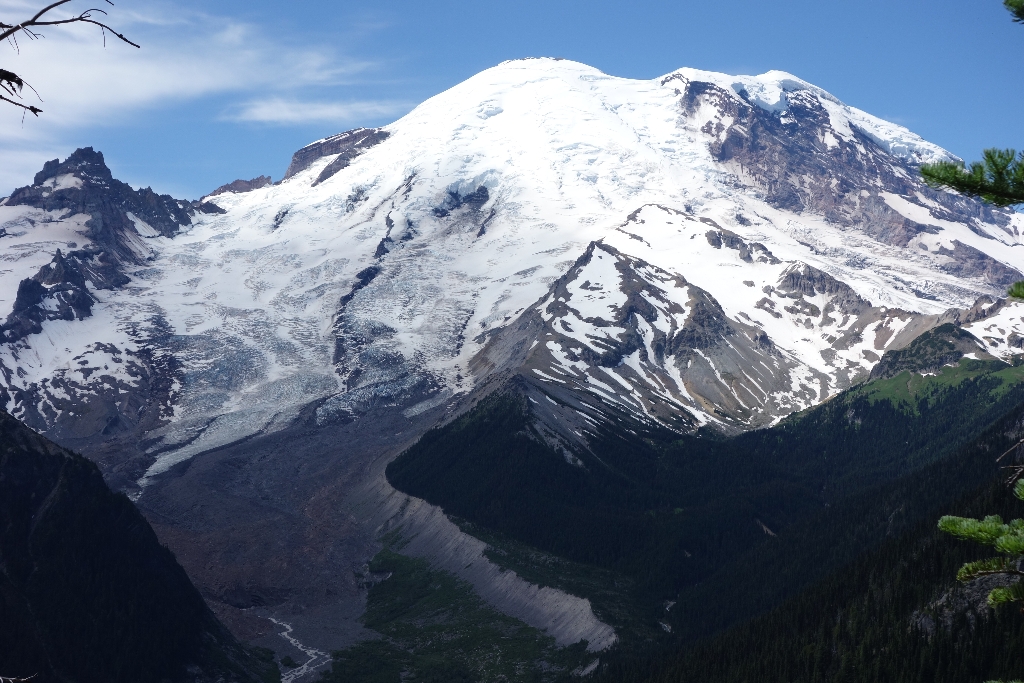
Located on the northeast side of Mount Rainier, the Emmons Glacier has the largest area of any glacier in the contiguous United States. The glacier descends from the summit into the White River Valley. Much of its lower surface is covered with rock debris that originated from a December 1963 rock fall off Little Tahoma peak on the glacier's south flank.
The floor of the White River Valley is covered with rocky debris, indicating that the Emmons Glacier during the Pleistocene epoch was nearly 40 miles (60 km) long. Moraines in the valley provide evidence that the glacier was nearly 1,000 feet (300 m) thick near the White River Campground.
The Emmons Glacier was named for Samuel Emmons who, with A.D. Wilson, made the second successful ascent of Mount Rainier. Samuel Emmons was an eminent geologist who was part of the U.S. Geological Survey exploration of the 40th parallel.
Viewing Emmons Glacier: From the Sunrise Visitor Center, follow the 0.2 mile (0.3 km) trail to Emmons Vista to view the glacier. From White River, follow the trail leaving the campground approximately 1 mile (1.6 km) to the Emmons Moraine Trail junction. The trail leads along the edge of the moraine and has excellent views of the terminus of the glacier.
Emmons Glacier Statistics as of 2021 (Beason et al., 2023):
- Aerial Extent: : 4.231 ± 0.222 square miles (10.959 ± 0.575 km2) (Rank: 1 of 29 of glaciers on Mount Rainier)
- Highest Elevation (Head): 14,148 feet (4,312 m)
- Lowest Elevation (Terminus): 4,883 feet (1,488 m)
- Elevation Range: 9,266 feet (2,824 m)
- Length: 4.55 miles (7.32 km)
- Average Slope: 23.77°
- Average Flow Direction (direction the glacier flows towards): Northeast (55°)
- Glacier Type: S - Glacier Head Near Summit
Is there something we missed for this itinerary?
Itineraries across USA


