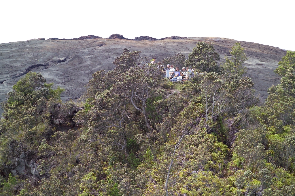
Puʻuhuluhulu is accessible via a short day hike beginning at the Maunaulu parking lot.
In reference to its vegetation-covered slopes, Puʻuhuluhulu means “hairy hill” in Hawaiian and stands out in stark contrast to the adjacent lava flows of Maunaulu. The 1969-1974 eruption of Maunaulu was centered just downhill from Puʻuhuluhulu and over the course of five years, surrounded most of this cinder cone.
Today the top of the cone features an observation deck that provides a view of the Maunaulu lava shield that formed during the eruption. A Maunaulu Trail Guide is also available (pdf- 7.63 MB)
A restroom is available at the Maunaulu parking lot.
Is there something we missed for this itinerary?
Itineraries across USA

Acadia

Arches National Park

Badlands

Big Bend

Biscayne

Black Canyon Of The Gunnison

Bryce Canyon

Canyonlands

Capitol Reef

Carlsbad Caverns

Channel Islands

Congaree

Crater Lake

Cuyahoga Valley

Death Valley

Dry Tortugas

Everglades

Gateway Arch

Glacier

Grand Canyon

Grand Teton

Great Basin

Great Smoky Mountains

Guadalupe Mountains

Haleakalā

Hawaiʻi Volcanoes

Hot Springs

Indiana Dunes

Isle Royale

Joshua Tree

Kenai Fjords

Kobuk Valley

Lassen Volcanic

Mammoth Cave

Mesa Verde

Mount Rainier

North Cascades

Olympic

Petrified Forest

Pinnacles

Rocky Mountain

Saguaro

Shenandoah

Theodore Roosevelt

Virgin Islands

Voyageurs

White Sands

Wind Cave

Yellowstone

Yosemite

Zion