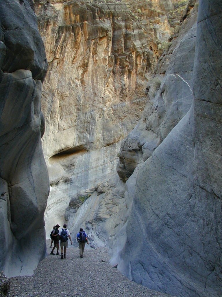
Towering walls and a smooth dry fall inspire awe along this unsigned route.
If you're looking for a less-traveled route with fascinating geology and ample opportunity for wildlife viewing, put Fall Canyon at the top of your list.
HIKING NOT ADVISED AFTER 10 AM IN THE SUMMER
Round Trip Length: 6 miles (9.7km)
Round Trip Time: 3.5 hours
Difficulty: Moderate/Difficult
Elevation Gain: 2,460 ft (752m)
Trail Type: Unsigned route; out and back
Location: 11.9 miles (19.2 km) north of CA-190 off Scotty's Castle Road (North Highway) at the end of the 2.7 mile (4.3km) unpaved two-way section of Titus Canyon Road. The road is usually passable to sedans.
Parking: Open gravel parking area not recommended for large RVs or buses
Closest Restroom: Vault toilet in parking lot. No restroom along the route. Do not leave toilet paper in the canyon.
Route: A footpath starting behind the restroom takes hikers northwest along alluvial fan deposits at the base of the Grapevine Mountains. After about 1 mile (1.6 km), the path drops into a wash; follow the wash east to the mouth of the canyon. Progress up the canyon is eventually blocked by a dryfall; this is the turn-around point.
Note: pets are not allowed on any trail in Death Valley National Park, even if carried. Do not leave your animal in your vehicle. Speak with a ranger about one of the incredible dirt roads where you may walk your pet.
Is there something we missed for this itinerary?
Itineraries across USA


