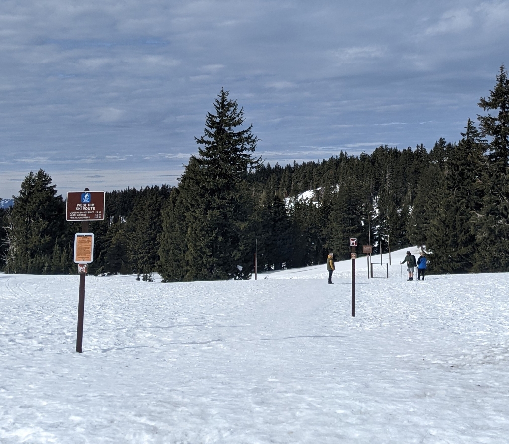
In winter, West Rim Drive transitions into the most popular ski route in the park. Every year on November 1, it closes to vehicle traffic. As snow blankets the road, the asphalt surface disappears keeping only the contours of the road as a guide along the ski route. West Rim Route offers spectacular views of Crater Lake, Wizard Island. and the dramatic scenery created by the visible peaks and valleys of the Cascade mountains.
The route features gently rolling terrain. It is exposed to the elements and is often windy. If snow conditions are good, it is suitable for skiers and snowshoers of all abilities. When icy, the route can be treacherous, especially just west of Rim Village. All trips are out and back via the same route, but can vary in length depending on the weather, and your fitness and experience.
Parking is anywhere in Rim Village as the signs dictate. Do not park on the snow or block the plowed road. On weekends, holidays, and during spring break the parking lot fills early. Parking overnight is prohibited to allow for safe plow access. If an overnight camping trip is planned all winter backcountry rules apply including designated parking at headquarters.
These are some possible trips:
All trips begin from the snow ramp across from the Rim Village restrooms.
Discovery Point 1.2 mi. (1.9 km) one way. Discovery Point is a broad, unmarked viewpoint that overlooks Wizard Island and offers a view across the lake towards Phantom Ship. Gold prospector John Hillman first set eyes on Crater Lake in 1853 from this location.
Wizard Island Overlook 2.3 mi. (3.7 km) one way. This small, unmarked viewpoint provides an expansive view of Wizard Island, a cinder cone that erupted out of Crater Lake around 7,300 years ago.
Union Peak Overlook 3.1 mi. (5.0 km) one way. This segment is a steady climb, gaining 240 feet (73 meters) in elevation to a small, unmarked viewpoint on the left of the Cascade Mountains including, Union Peak 8 miles (13 km) to the south, MT. McLoughlin, 35 miles (56 km) away, and on a clear day Mt. Shasta, 100 miles (161 km) across the distance.
Beyond Union Peak Overlook, the road cuts into a vertical cliff which usually fills with snow. It may be advisable to leave the road and bypass the cliff higher up on the slope. The route traverses the north face of Watchman Peak, an avalanche prone slope that is sometimes dangerously icy.
Watchman Overlook: 3.9 mi. (6.3 km)
Diamond Lake Overlook: 4.6 mi. (7.4 km)
North Junction: 6.0 mi. (9.7 km)
if an overnight stay is planned a backcountry permit is required.
Is there something we missed for this itinerary?
Itineraries across USA

Acadia

Arches National Park

Badlands

Big Bend

Biscayne

Black Canyon Of The Gunnison

Bryce Canyon

Canyonlands

Capitol Reef

Carlsbad Caverns

Channel Islands

Congaree

Crater Lake

Cuyahoga Valley

Death Valley

Dry Tortugas

Everglades

Gateway Arch

Glacier

Grand Canyon

Grand Teton

Great Basin

Great Smoky Mountains

Guadalupe Mountains

Haleakalā

Hawaiʻi Volcanoes

Hot Springs

Indiana Dunes

Isle Royale

Joshua Tree

Kenai Fjords

Kobuk Valley

Lassen Volcanic

Mammoth Cave

Mesa Verde

Mount Rainier

North Cascades

Olympic

Petrified Forest

Pinnacles

Rocky Mountain

Saguaro

Shenandoah

Theodore Roosevelt

Virgin Islands

Voyageurs

White Sands

Wind Cave

Yellowstone

Yosemite

Zion