Trip Planning and Safety
The spectacular Waterpocket District (or southern section) of Capitol Reef National Park is fairly remote and rugged, and open year-round. Most passenger cars, pickups, and vans can usually negotiate the roads without difficulty. However, road conditions can vary greatly depending on recent weather conditions. Check the weather forecast before your visit. Spring and summer rains and winter snows can sometimes leave roads slick, muddy, washed out, and impassable to the best high-clearance four wheel drive vehicle. Many of the roads are unpaved, and are often rough, sandy, and wash-boarded. Check at the visitor center or call 435-425-3791 for current conditions. Press #1 for information, and then #4 for current road conditions. For weather conditions press #3.
Vehicle and foot travel in the southern part of the park can be light to moderate, depending on the time of year, so be prepared for the unexpected. If you have problems, help may not arrive for hours or even days. Carry plenty of water, food, gas, adequate clothing, a shovel, and emergency supplies. Cell phone reception is usually poor to nonexistent. Cool or cold temperatures will accompany sudden summer storms or an unexpected night out in the backcountry. Daytime temperatures in the summer may top 100 °F (37.8°C) and winter highs may stay below freezing, so dress and plan accordingly. Your safety is your responsibility.
Loop the Fold Driving Tour
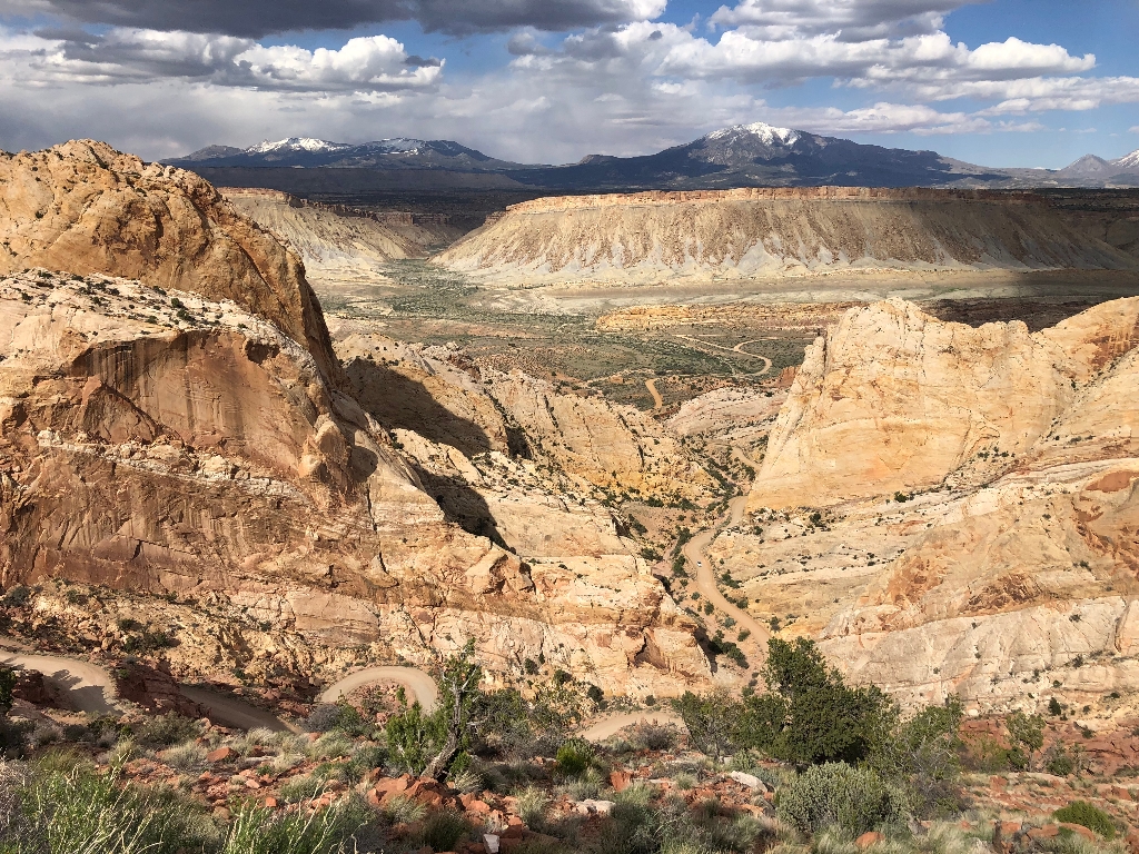
Most visitors to the southern part of the park drive the 124-mile (199 km) loop, or various sections of it. Drive time is generally 4-6 hours.
- Start at the visitor center and follow Highway 24 east to the Notom-Bullfrog Road.
- Turn right on the Notom-Bullfrog Road and drive south to the Burr Trail Road junction.
- Turn right on the Burr Trail Road and drive west to Boulder, UT.
- Turn right (north) on Highway 12 to Torrey.
- Turn right (east) on Hwy 24 back to the visitor center.
Highways 24 and 12 and the first 15 miles (24.1 km) of the Notom-Bullfrog Road (from the junction with Highway 24) are paved.
The Burr Trail Road from the park boundary west to Boulder is also a paved road. There are also opportunities for hiking and backpacking along the drive. The primitive campground, Cedar Mesa, is off the Notom-Bullfrog Road.
Is there something we missed for this itinerary?
Itineraries across USA


