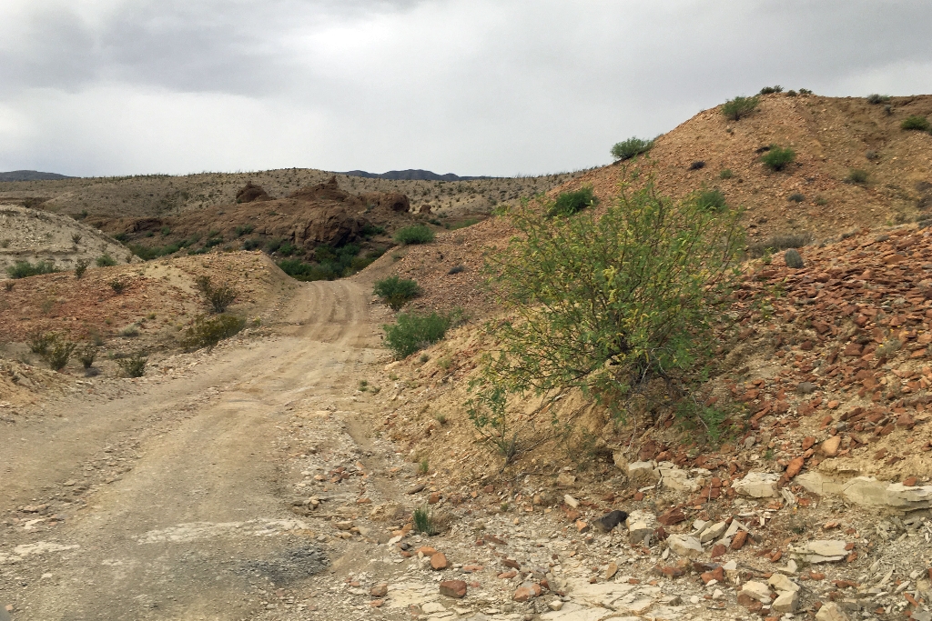
The River Road traverses the remote southern portion of the park, roughly connecting the areas near Rio Grande Village and Castolon. While generally following the course of the Rio Grande, the road runs a considerable distance from the river, especially in its mid-section near Mariscal Mountain. You cannot actually see the river along the River Road unless you take a side trip to one of the primitive roadside campsites located next to the river. Due to its length and usually rough road conditions, allow a full day to drive from end to end.
Before heading out on this road, be well prepared for safe backcountry driving with plenty of water, a jack, and good spare tire. On these isolated, infrequently patrolled backcountry roads, a disabled vehicle can quickly become a life-threatening situation.
A variety of primitive roadside campsites (permit required) located along the road, allow for extended exploration. Highlights along the River Road include remote desert scenery, exploring the ruins of the Mariscal Mine, and access to the rugged but spectacular Mariscal Rim Trail (6.5 miles roundtrip hike).
The west side of the River Road is lesser used, and generally in a rougher condition. Unless you have full confidence in your high-clearance vehicle, consider backtracking from the Mariscal Mine and returning via the Glenn Springs Road. The River Road crosses numerous washes, and regularly becomes impassable after rains.
Protect Big Bend. Always stay on established roadways.
OFF ROAD DRIVING IS PROHIBITED.
Is there something we missed for this itinerary?
Itineraries across USA


